Burnt Timber Ridge Road
Total Miles
11.4
Technical Rating
Best Time
Spring, Summer, Fall
Trail Type
Full-Width Road
Accessible By
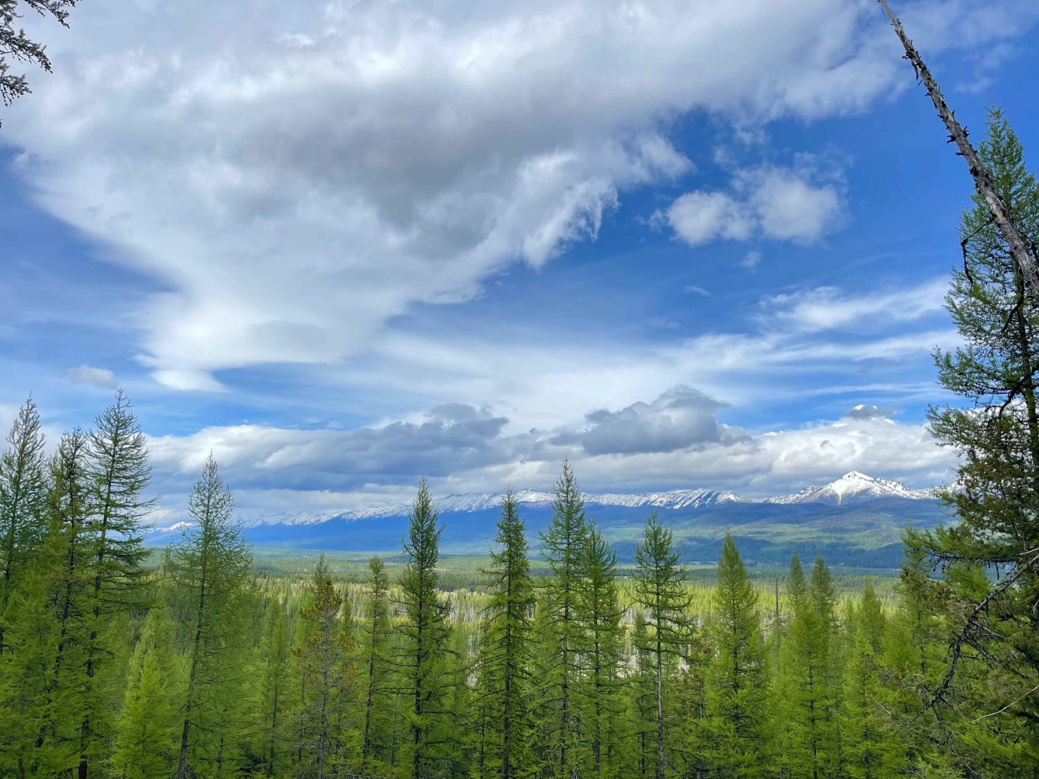
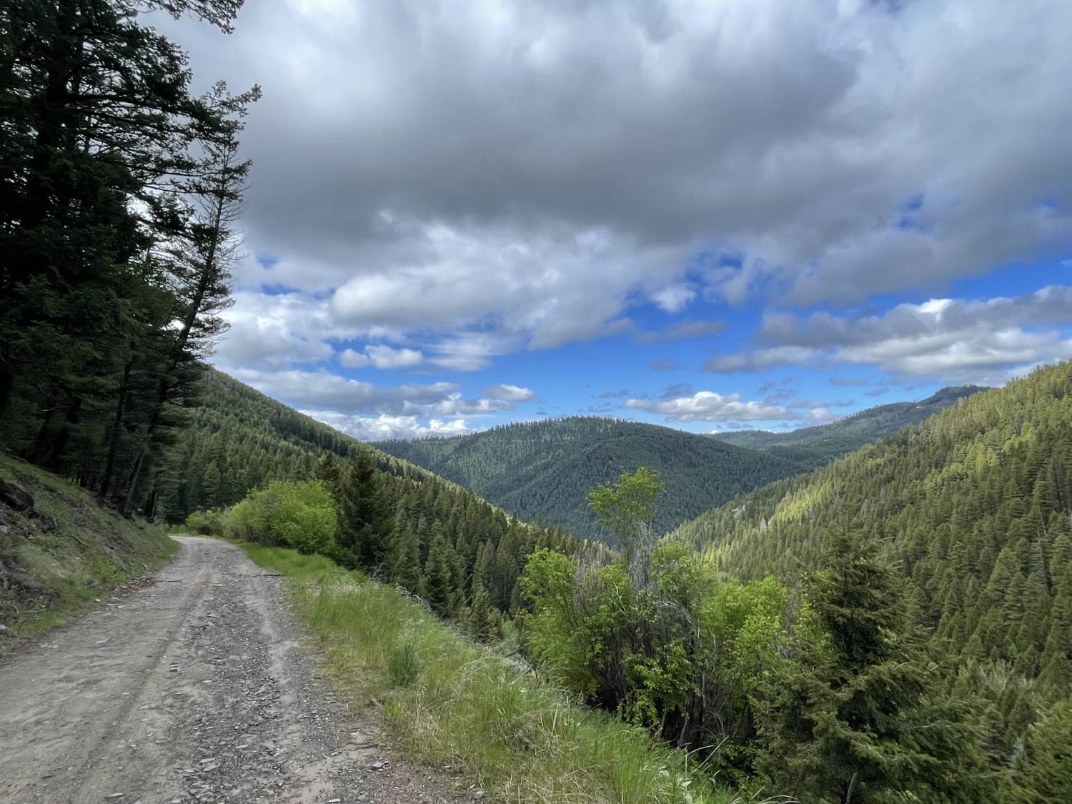
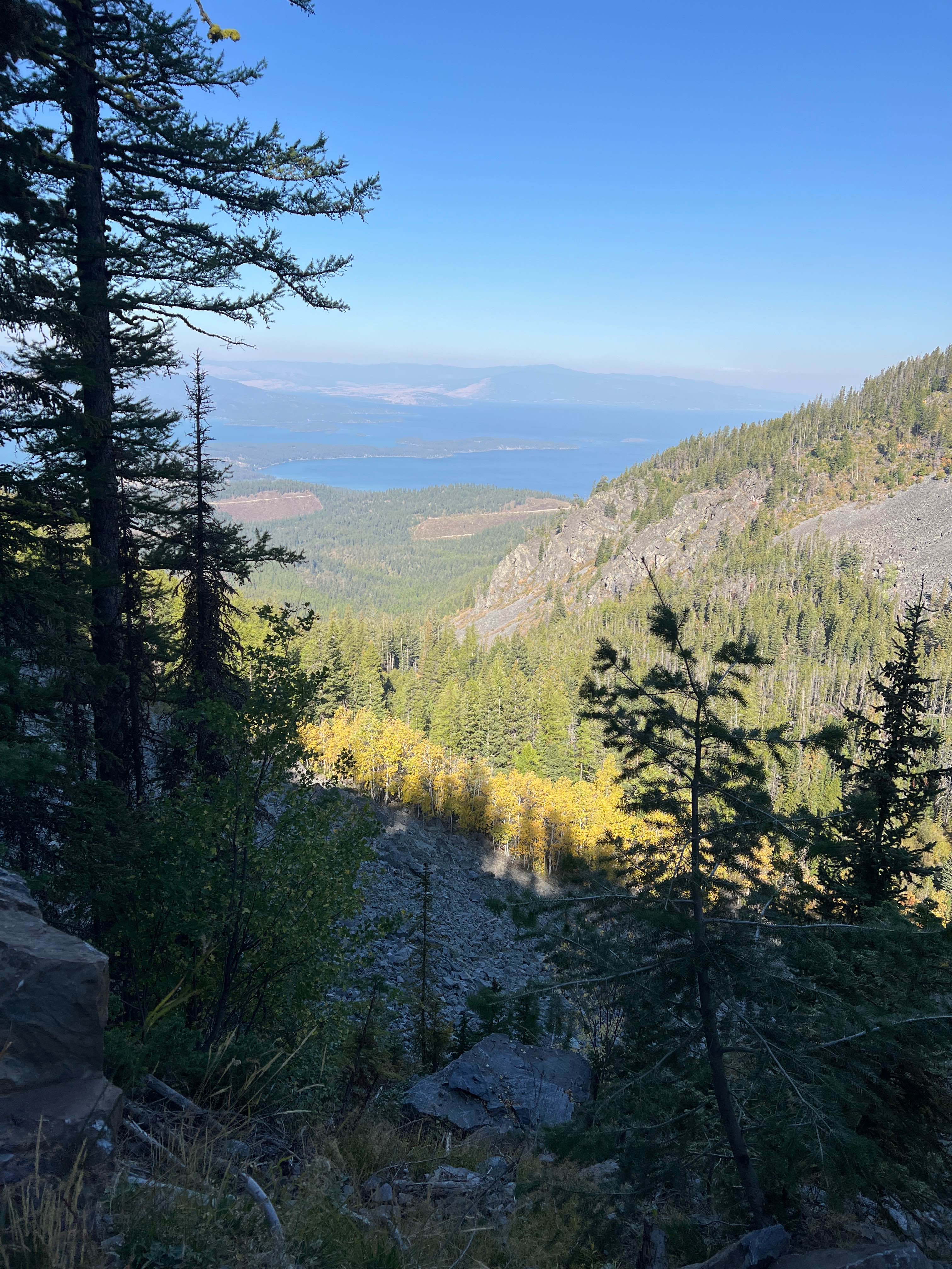
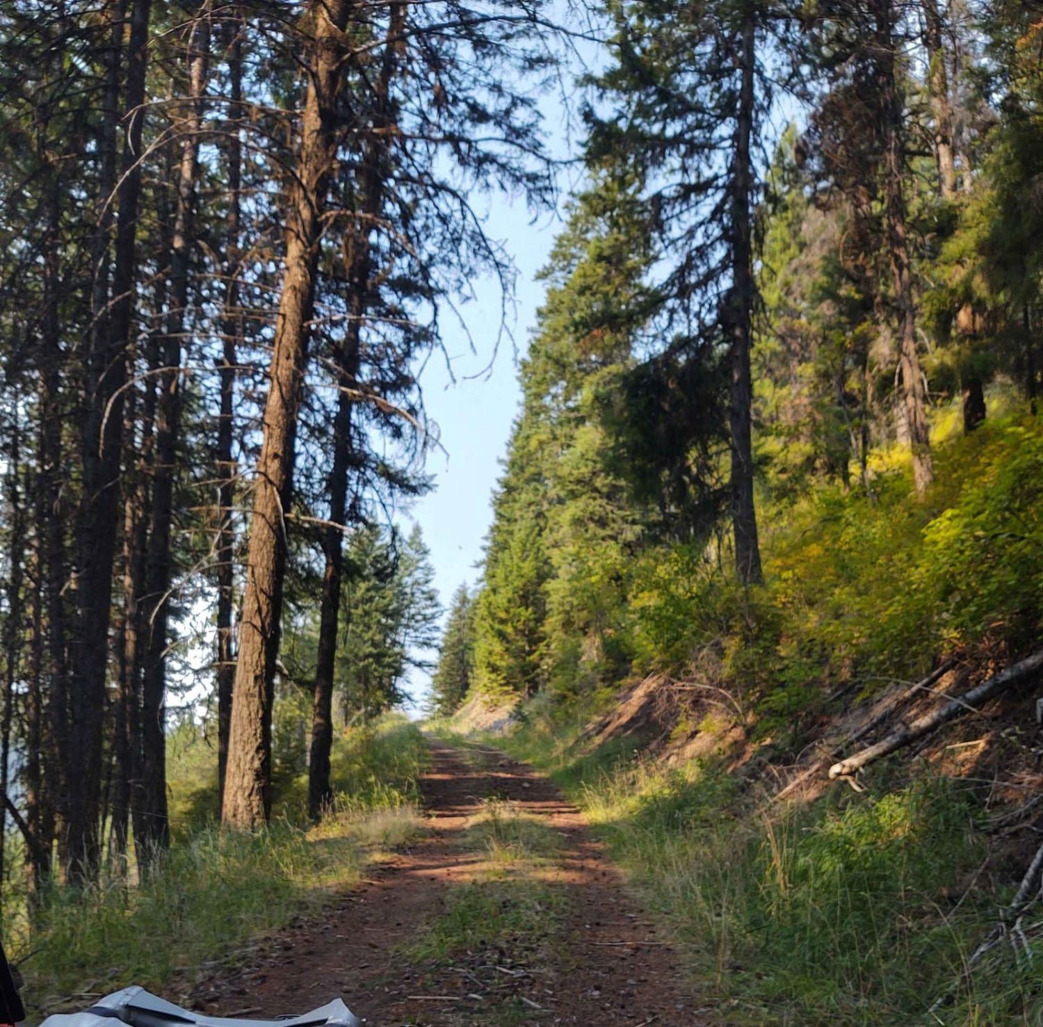
Trail Overview
Burnt Timber Ridge Road (2849) is one of many ways to access the Wild Horse Range located in the Pryor Mountains. The majority of the road is within the Wilderness Study Area (WSA). During the 2,000 feet gain in elevation, expect to see black bear, big horn sheep, turkeys and of course the wild mustangs who have called the Pryor Mountains home for over 200 years.
Photos of Burnt Timber Ridge Road

Difficulty
High clearance vehicle. Only travel when dry. There are some washouts and areas with 6-18 inch rock ledges.
Status Reports
Burnt Timber Ridge Road can be accessed by the following ride types:
- High-Clearance 4x4
- SUV
- SxS (60")
- ATV (50")
- Dirt Bike
Burnt Timber Ridge Road Map
Popular Trails
Archibald Loop
First Chance Gulch To Bear Gulch
Hell Roaring Canyon
The onX Offroad Difference
onX Offroad combines trail photos, descriptions, difficulty ratings, width restrictions, seasonality, and more in a user-friendly interface. Available on all devices, with offline access and full compatibility with CarPlay and Android Auto. Discover what you’re missing today!