Axtell Anceney Road
Total Miles
11.9
Technical Rating
Best Time
Summer, Fall
Trail Type
Full-Width Road
Accessible By
Trail Overview
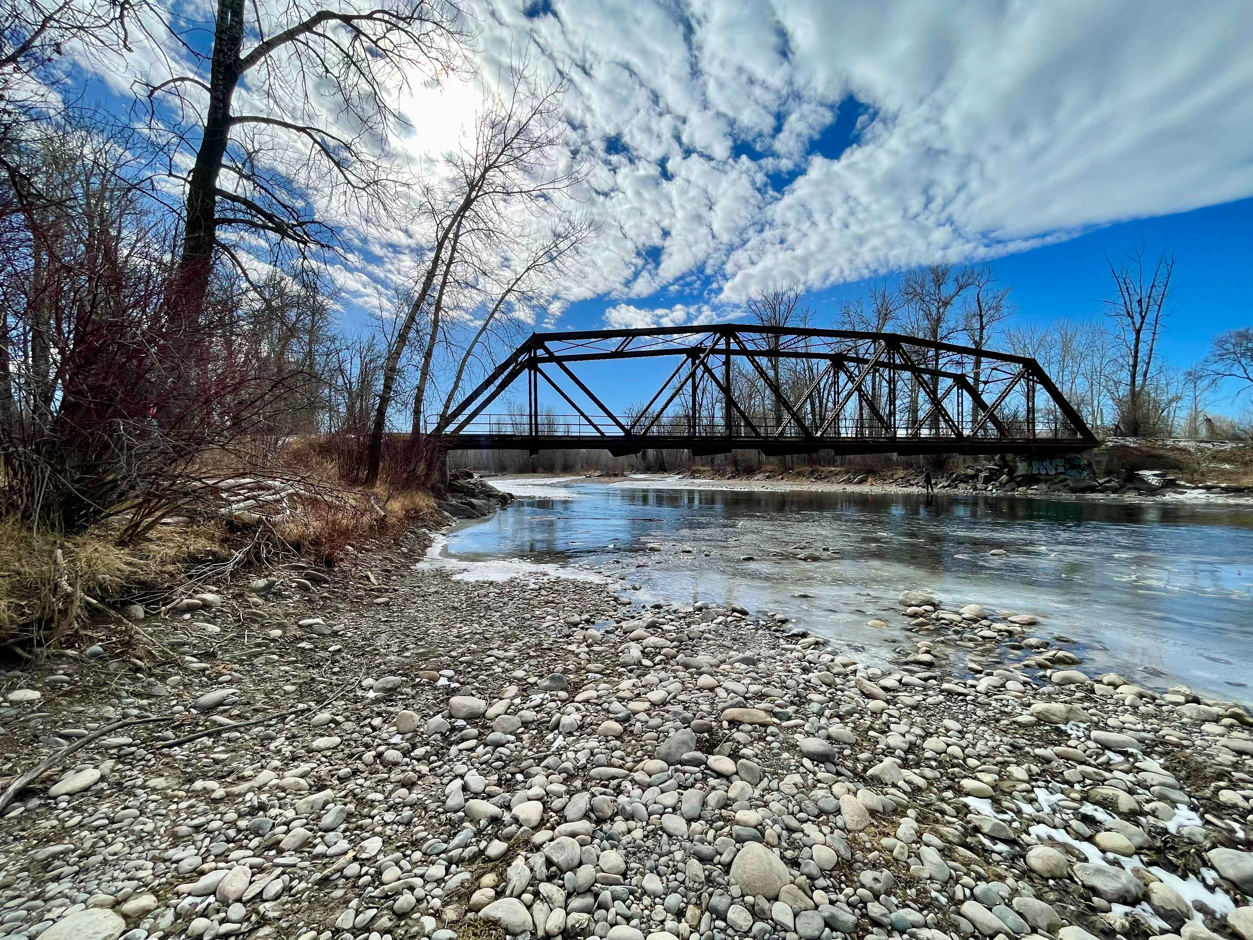
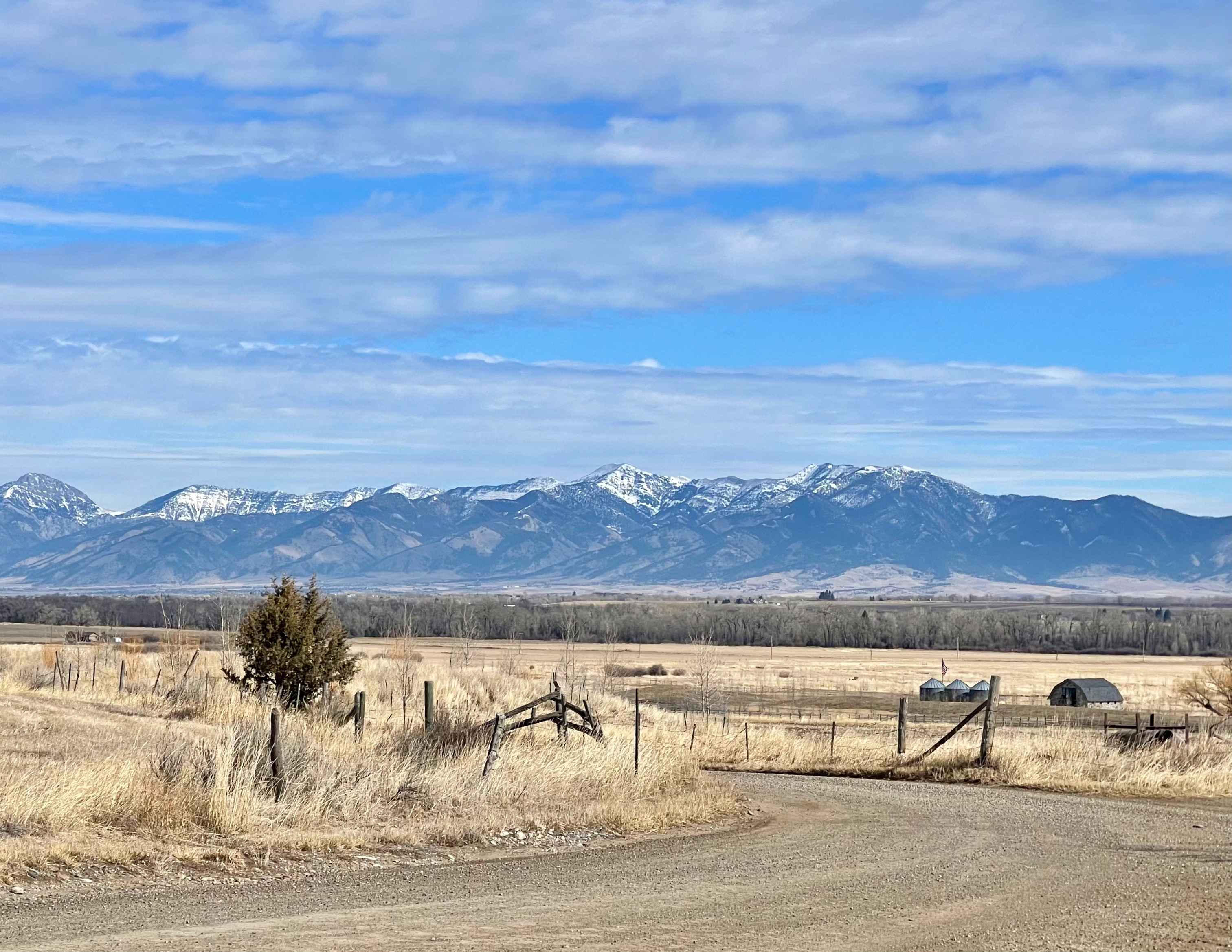
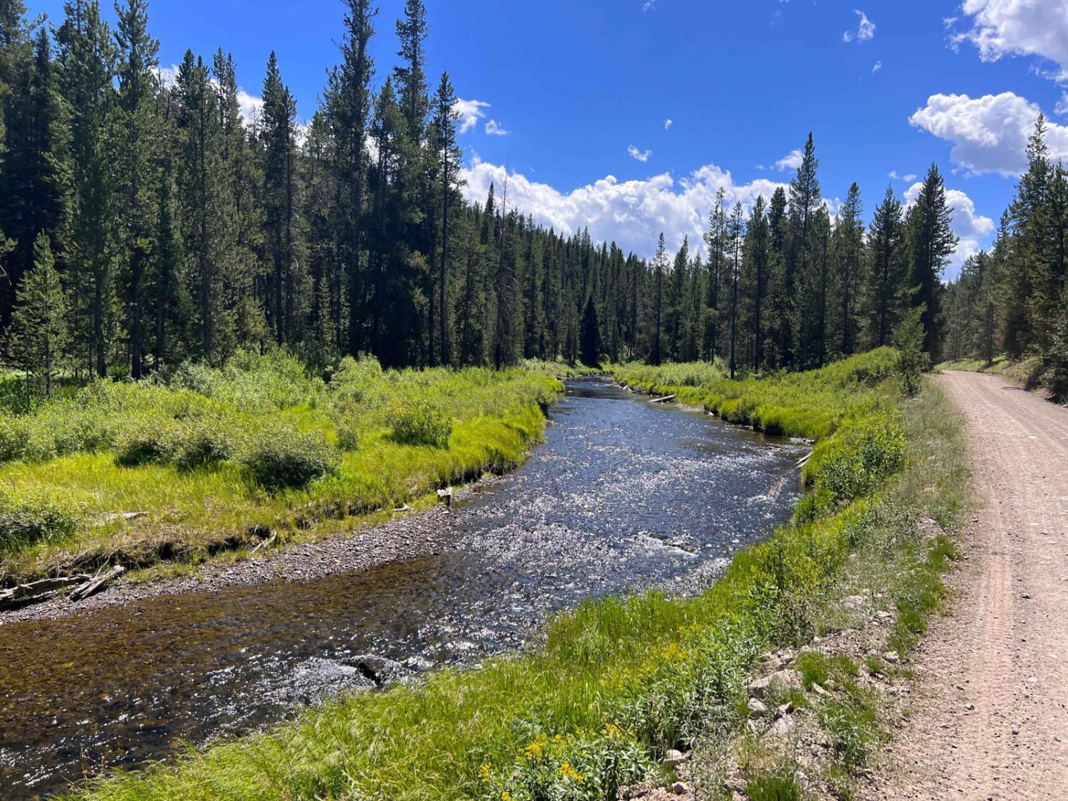
This point-to-point dirt and gravel two-lane road connects Highway 191 south of Four Corners to Norris Road west of Four Corners, offering a scenic alternative to the main highway. Portions of the road are unmaintained, and following recent snowmelt or rain, the surface can become very muddy and rutted. In dry conditions, the entire route is passable without 4WD or high clearance. The majority of the route travels through private land, expect to see a mix of people walking and biking. Normal licensed vehicle rules likely apply. Travelers are treated to sweeping views of the mountains surrounding the Gallatin Valley. At the southern end near Axtell Bridge, there is a fishing access point to the Gallatin River, which is renowned for world-class fly fishing. The Axtell Bridge itself is a hidden gem -- built in 1919, it is considered an excellent and intact example of an early state-designed riveted Warren truss bridge, significant enough to be documented by the Library of Congress as part of the Historic American Engineering Record. Whether you're a history buff, an angler, or simply looking for a beautiful and peaceful alternative route around Four Corners, this road is well worth the detour.
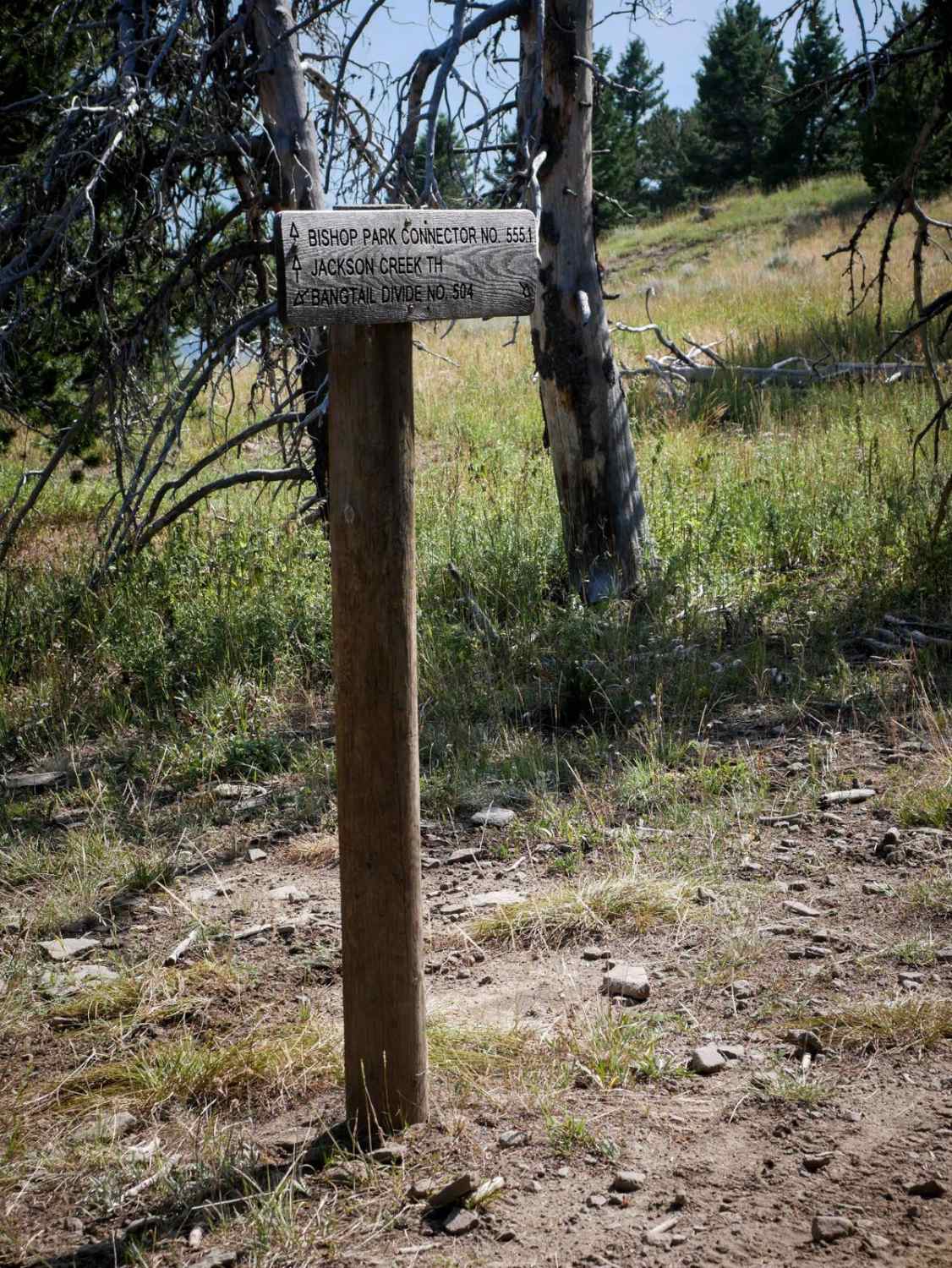
Photos of Axtell Anceney Road
Difficulty
In dry conditions, this road is suitable for most vehicles and does not require 4WD or high clearance. Following rain or snowmelt, however, the unmaintained sections can become muddy and rutted, making the route significantly more challenging. Heavy precipitation may render the road impassable altogether. In winter, snow accumulation and drifting can reach several feet in depth, requiring 4WD and high clearance.
Status Reports
Axtell Anceney Road can be accessed by the following ride types:
- High-Clearance 4x4
- SUV
- SxS (60")
- ATV (50")
- Dirt Bike
Axtell Anceney Road Map
Popular Trails
Upper Six Mile 5598 / Main Six West 4223
Small Creek FS 4292
South Fork Madison Road (478)
The onX Offroad Difference
onX Offroad combines trail photos, descriptions, difficulty ratings, width restrictions, seasonality, and more in a user-friendly interface. Available on all devices, with offline access and full compatibility with CarPlay and Android Auto. Discover what you’re missing today!