5706
Total Miles
10.3
Technical Rating
Best Time
Summer, Fall
Trail Type
Full-Width Road
Accessible By
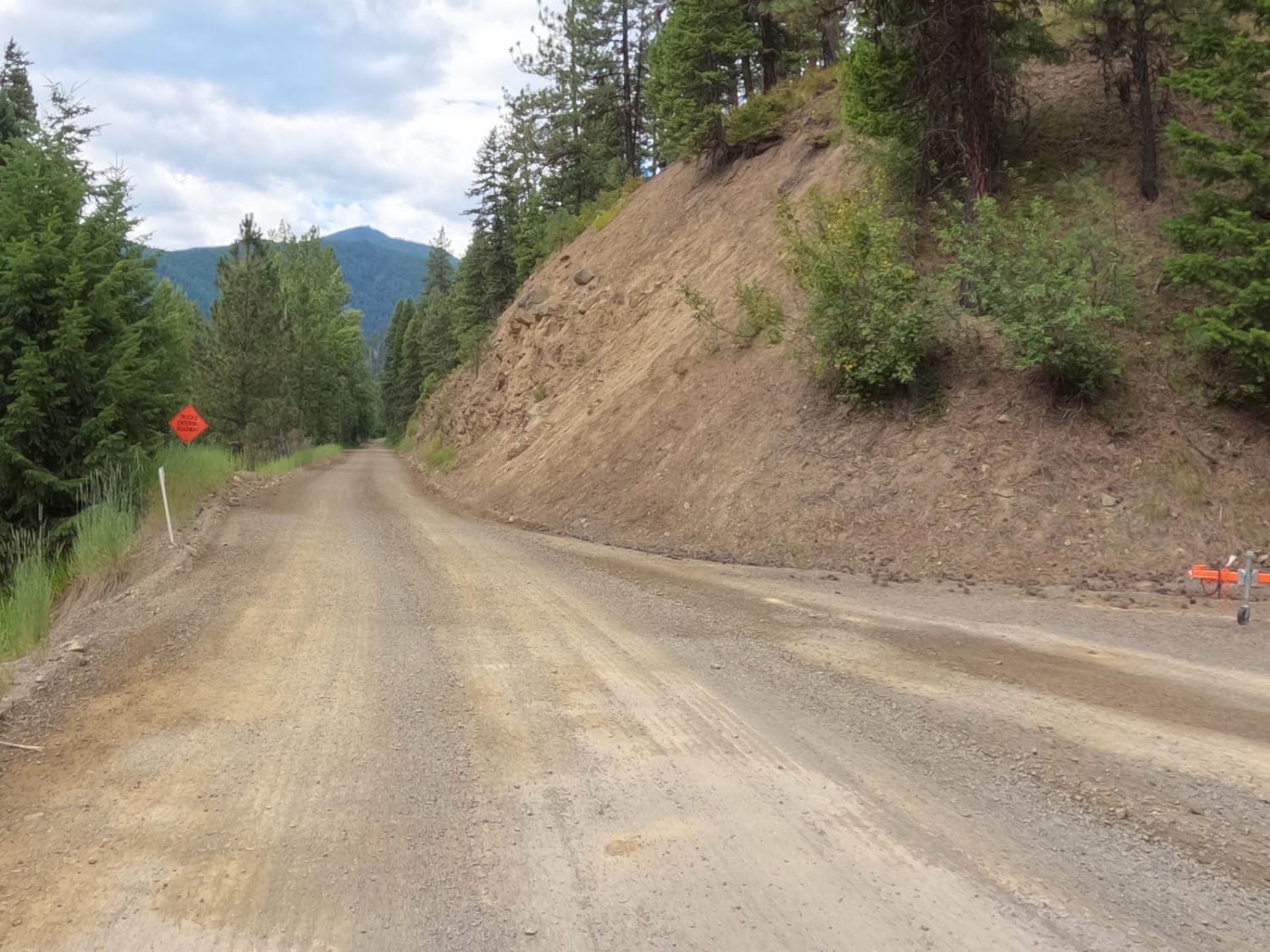
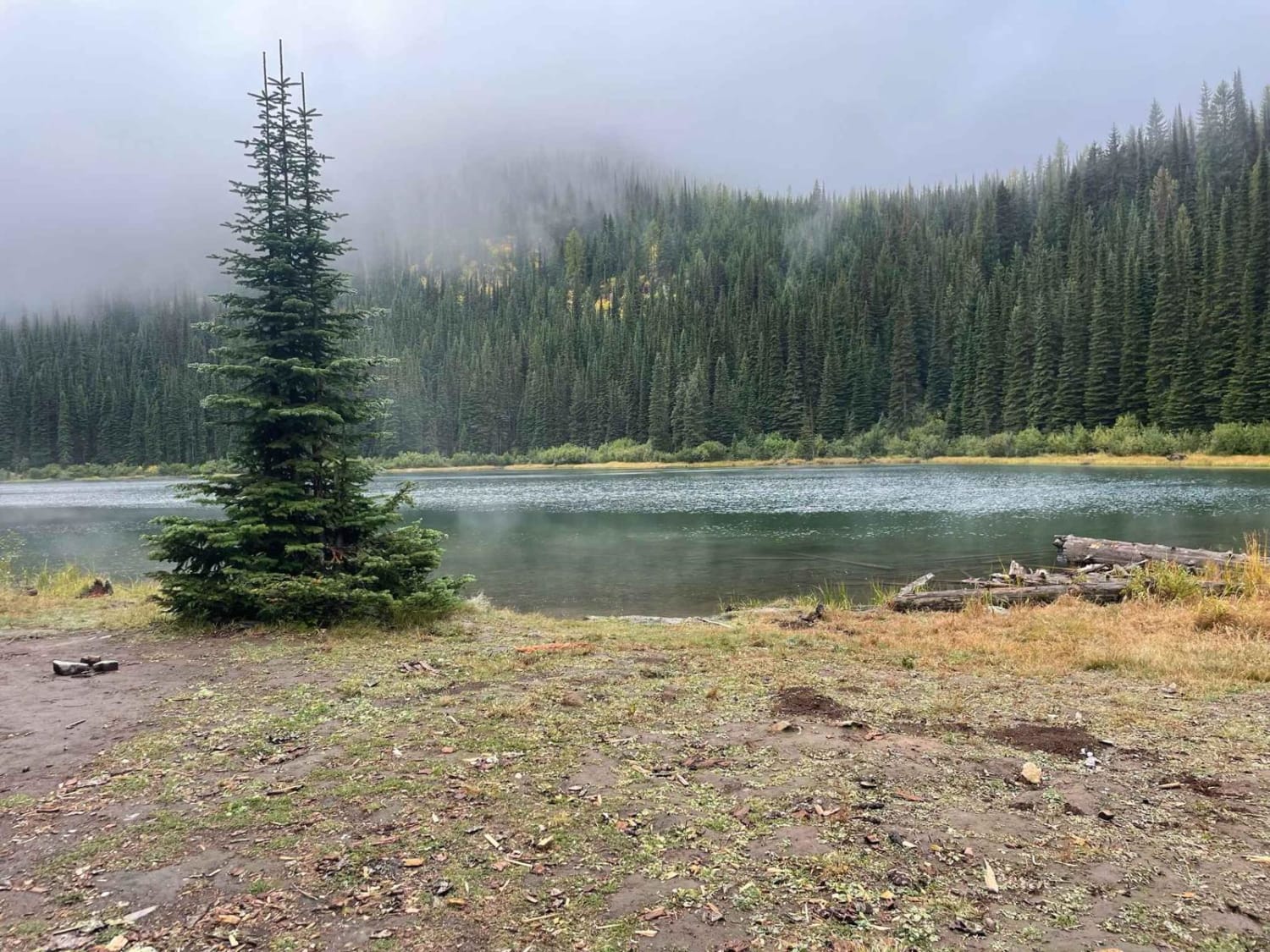
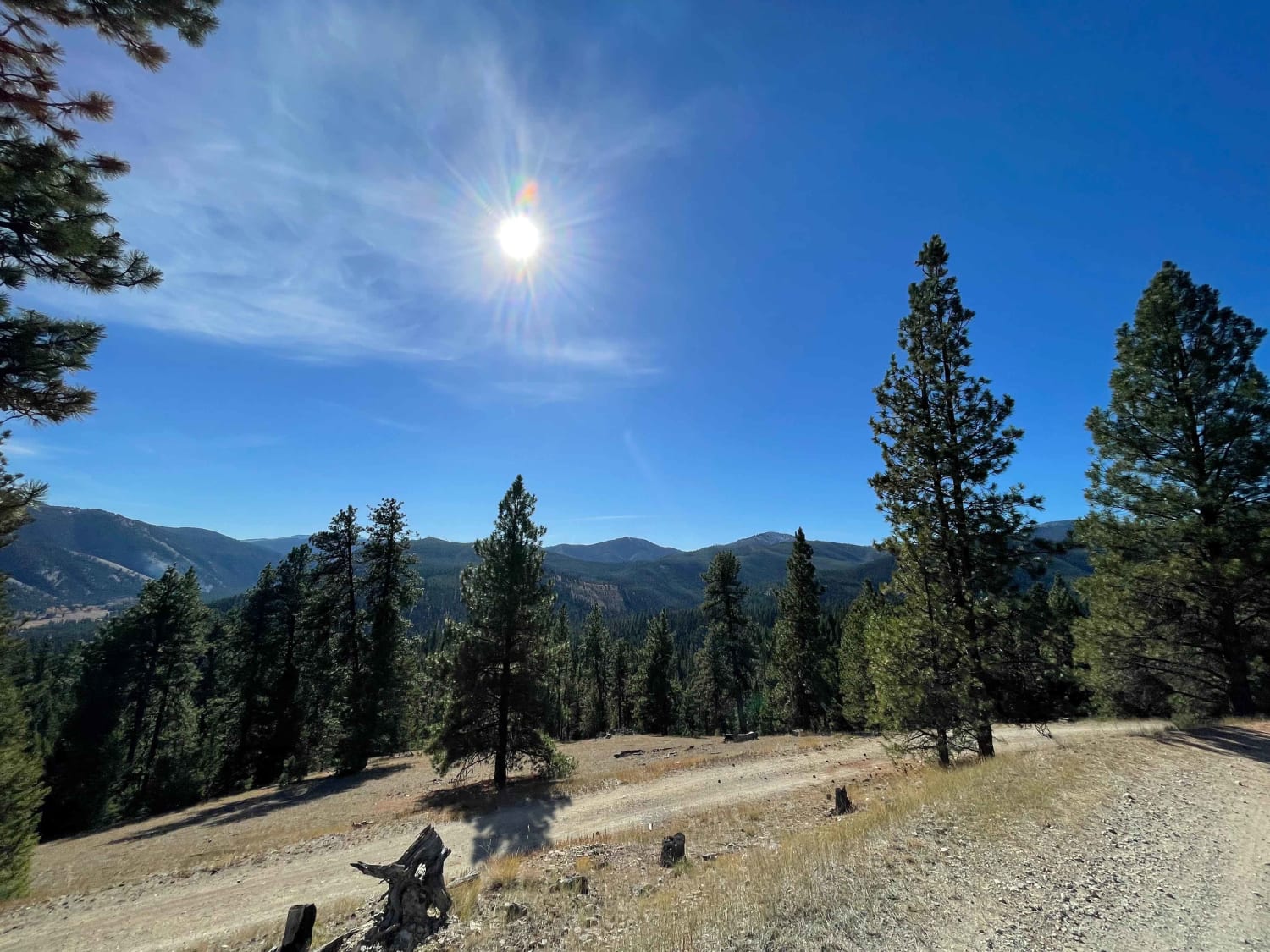
Trail Overview
FS Road 5706 is a 10-mile-long forest road that gradually gains 2,000 feet in elevation as it winds up into the hills and along a shelfy hillside. It starts at the Jew Mountain Trailhead on Overwich Road in the Bitterroot National Forest. Typically one lane wide with limited turnarounds, but graded, it offers a smooth but curvy ride, with occasional embedded rock patches that can make the surface slightly bumpier. Primarily used for trail access, this scenic route features open views and passes through remote terrain. There is one small dispersed campsite located about 4 miles in near the Slate Point turnoff. It ends at a gate where the road becomes a 50-inch trail. Expect ATV traffic on this road as well.
Photos of 5706


Difficulty
This is an easy road due to its gradual elevation gain, wide layout, and minimal technical challenges, though drivers should exercise caution on narrow shelf sections and blind corners.
Status Reports
5706 can be accessed by the following ride types:
- High-Clearance 4x4
- SUV
- SxS (60")
- ATV (50")
- Dirt Bike
5706 Map
Popular Trails
Cedar Creek Road - Oregon Lakes
Silver Creek to Silver Lake
Coal Creek to Blue Joint

The onX Offroad Difference
onX Offroad combines trail photos, descriptions, difficulty ratings, width restrictions, seasonality, and more in a user-friendly interface. Available on all devices, with offline access and full compatibility with CarPlay and Android Auto. Discover what you’re missing today!