Trashcan Hill
Total Miles
1.8
Technical Rating
Best Time
Spring, Fall
Trail Type
High-Clearance 4x4 Trail
Accessible By
Trail Overview
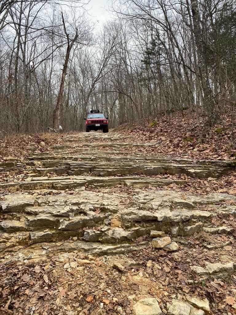
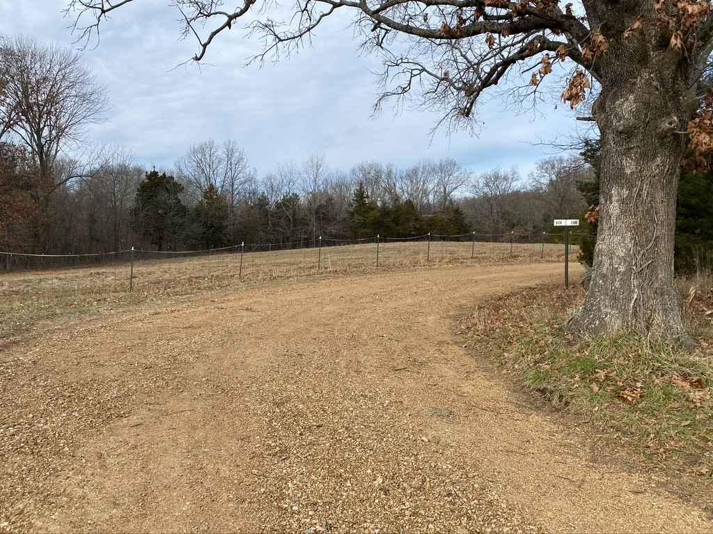
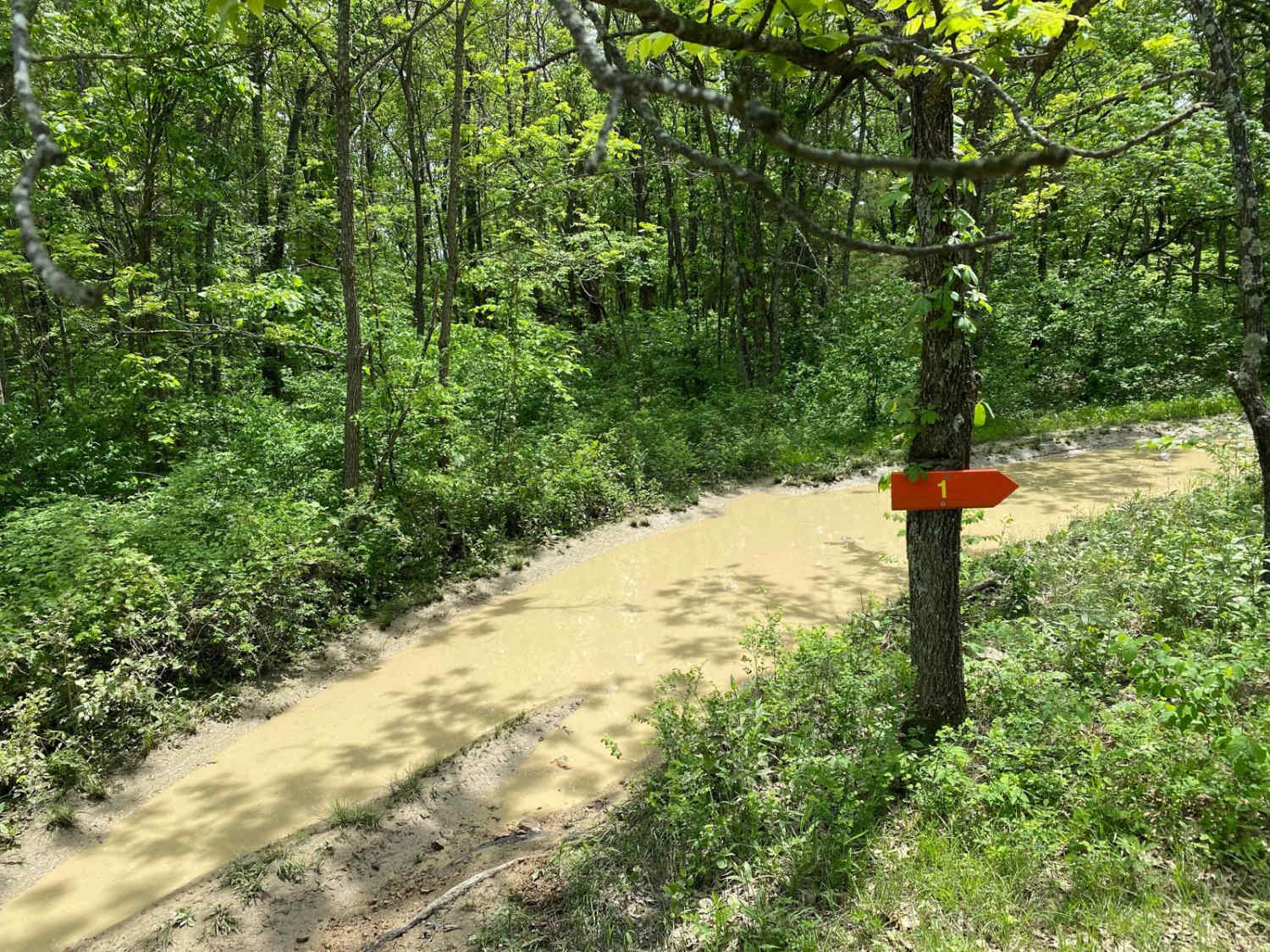
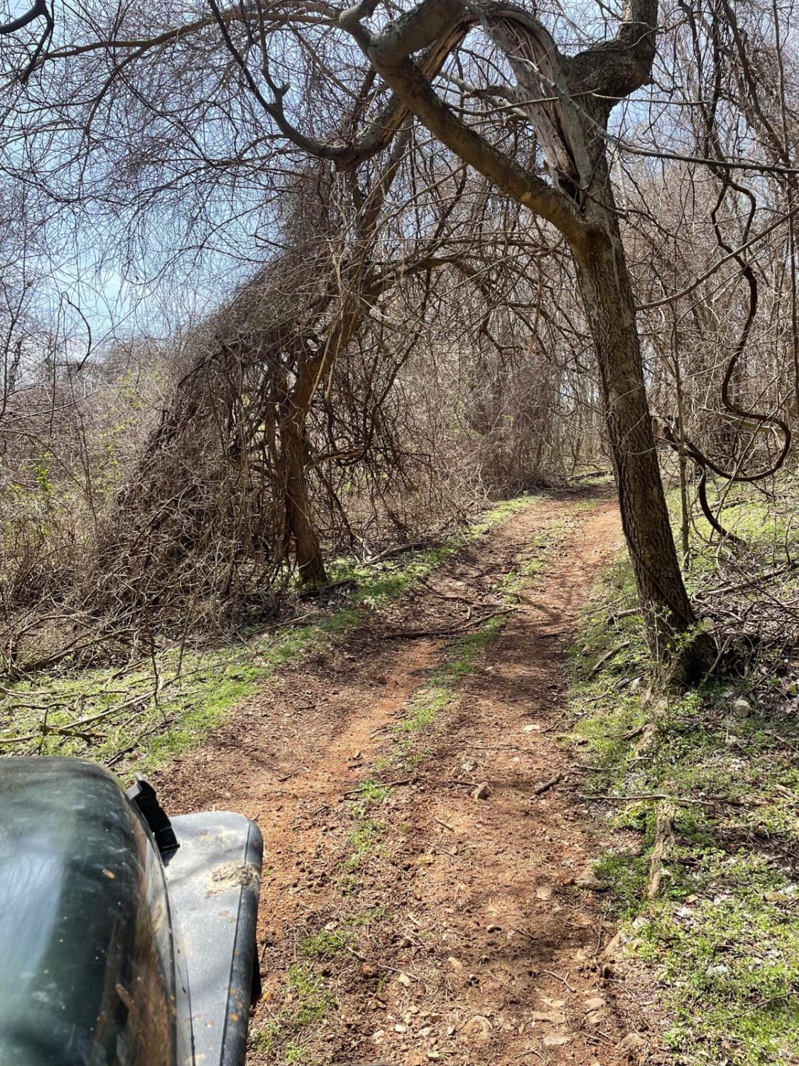
Trashcan Hill, or Bollinger County Road 258 and Perry County Road 624, is a set of county roads that trek through a rather difficult natural hillside. Coming from South to North, the road starts as a simple gravel road, but quickly degrades into a rough rutted unmaintained road, with a fair mix of dirt and gravel. This leads down into the first valley where the natural rock starts to show in the ruts and pathways. After you cross the midway hilltop, the trail starts to turn into a fair mix of natural rock and dirt, having large rock obstacles, off-camber spots, and muddy water collection spots. Spotting is necessary, at minimum walk the area first, there is a lot of potential obstacles to get caught on/in. This leads to the final big obstacle, the full natural sandstone (12"-24" ledges) pathway down into the creek bottom below (roughly 12"-18" deep). This leads into the Perry County section which is quickly evident of being a well-maintained gravel road. In Bollinger County fashion this doesn't disappoint if you are looking for a short difficult trail in the area to hit, the difficulty only increases if you go North to South or if the conditions are wet and rainy. There are very few spots to turn around and leave, so make sure you are prepared to go all the way through, don't go alone. This trail has the potential to scrape frame rails/axles, high center, flex mildly upgraded suspension to limits, 4 LO, and lockers are likely needed to go uphill. Downhill requires heavy braking and 4 HI at minimum. You have to pick wise lines to follow if you run less lift and smaller tires. There are parts that are very off-camber and will push the center of gravity of the vehicle to being very lite on the uphill side.
Photos of Trashcan Hill
Difficulty
Potential to scrape frame rails, high center, flex suspension to limits, 4 LO, and lockers are probably needed to go uphill, rather than downhill, but downhill requires heavy braking and 4 HI at minimum. You have to pick wise lines to follow if you run less lift and smaller tires. There are parts that are very off-camber and will push the center of gravity of the vehicle to its limits.
Status Reports
Trashcan Hill can be accessed by the following ride types:
- High-Clearance 4x4
Trashcan Hill Map
Popular Trails

Yellow 171
J&D Off-Road Park Chat Trail
The onX Offroad Difference
onX Offroad combines trail photos, descriptions, difficulty ratings, width restrictions, seasonality, and more in a user-friendly interface. Available on all devices, with offline access and full compatibility with CarPlay and Android Auto. Discover what you’re missing today!