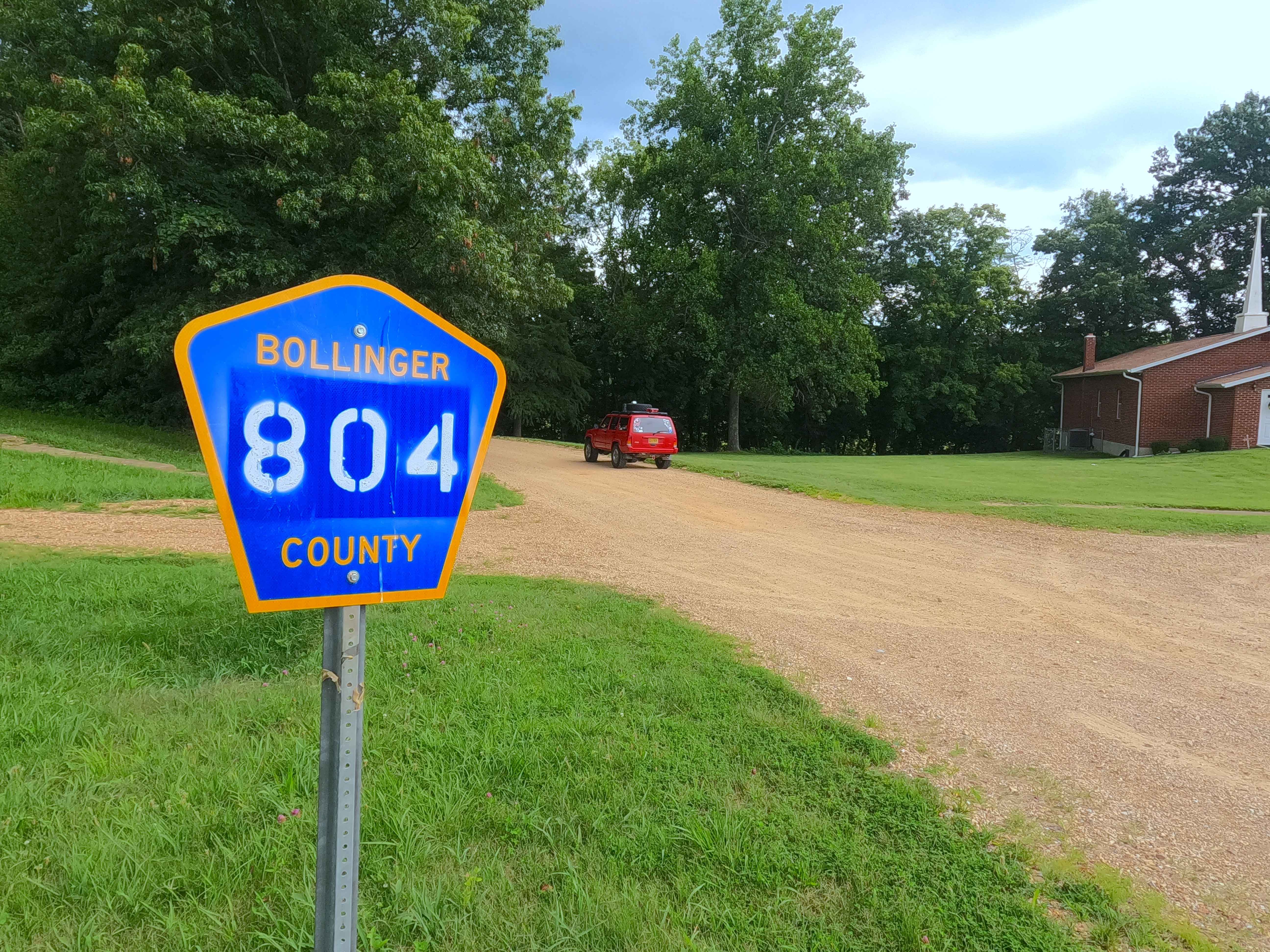
Glenallen Road - BCR 804
Total Miles
7.5
Technical Rating
Best Time
Spring, Fall, Winter, Summer
Trail Type
Full-Width Road
Accessible By
Trail Overview
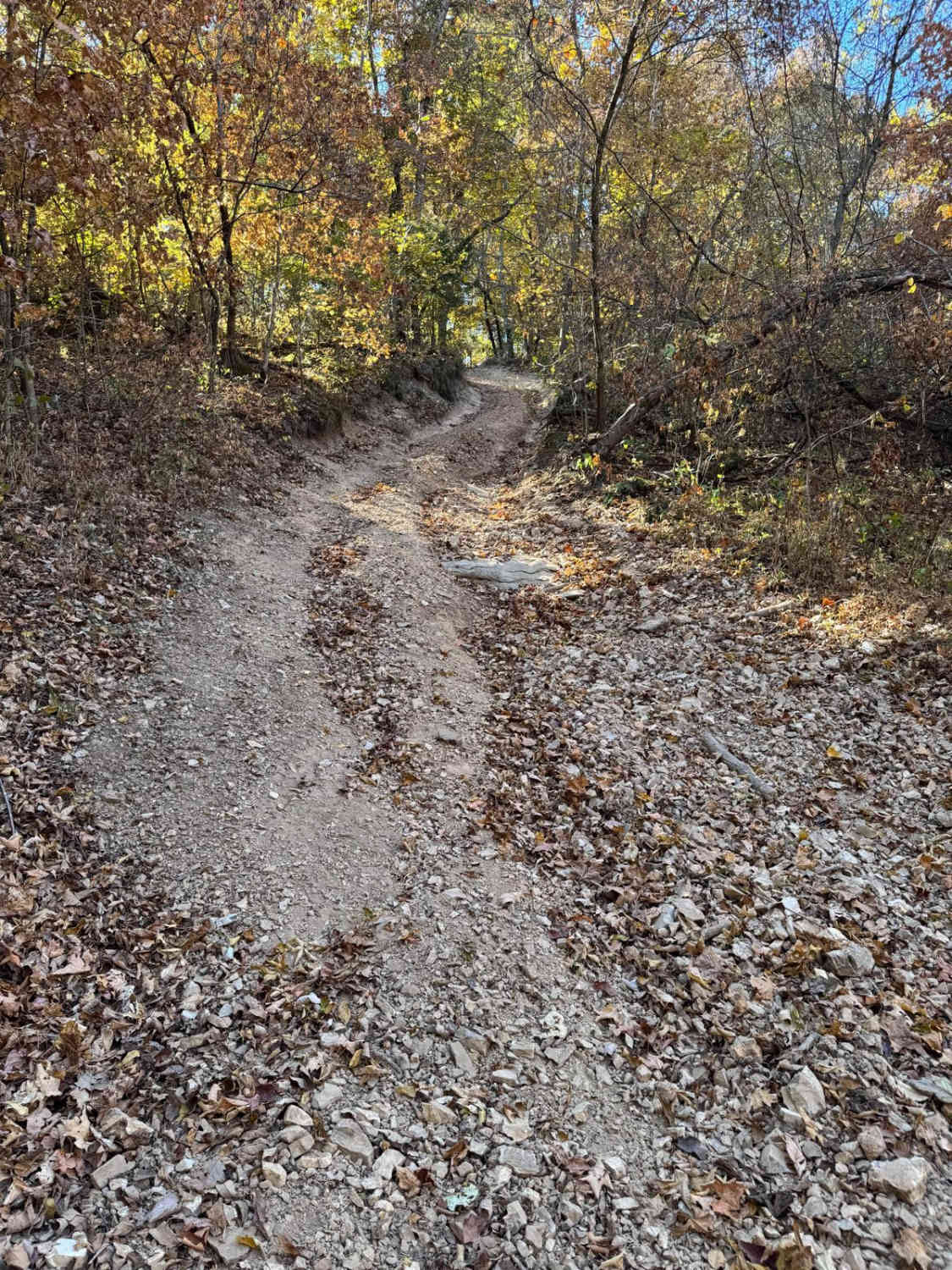
Glenallen Road, also known as the Bollinger County Road 804, is a coarse-gravel road traversing the hills and valleys of the southeastern Missouri countryside. The road is historically rich, having ties to the (1869-1973) Belmont Branch Railroad, but in its modern setting, it simply connects Missouri Route ZZ, just north of Route 34, on its east end within the village of Glenallen, MO, to Missouri Route DD on the west end. In typical Bollinger County fashion, this countryside road starts with maintenance on the ends and shows its character towards the middle, less-used section, featuring nothing less than coarse orange gravel, washboarding, potholes, mounding, and several low water bridges crossing the Crooked Creek and other smaller branch creeks. This road also has potential sections of the road that turn to dirt, surface mud when wet, loose rock cobbles, and natural rock poking out at the road surface. A great alternative to taking Missouri Route 34 or for simply connecting to more Bo-Co roads.
Photos of Glenallen Road - BCR 804
Difficulty
Base Rating for this road is 2/10. The difficulty of the area is constantly changing based on two things: how wet it is and how neglected the road is. This is a great example of a road that can swing from 1/10 stable and easy to ride, versus wet and subtle challenge crossing 3-12" of water, ranging from a low-demanding 2/10 to 3/10 rating. The biggest concern would be flash flooding in the event of heavy rains or a constant, very wet season, resulting in a high potential of crossing water at the low water bridges, and washed loose gravel, with potential ruts on the hills.
History
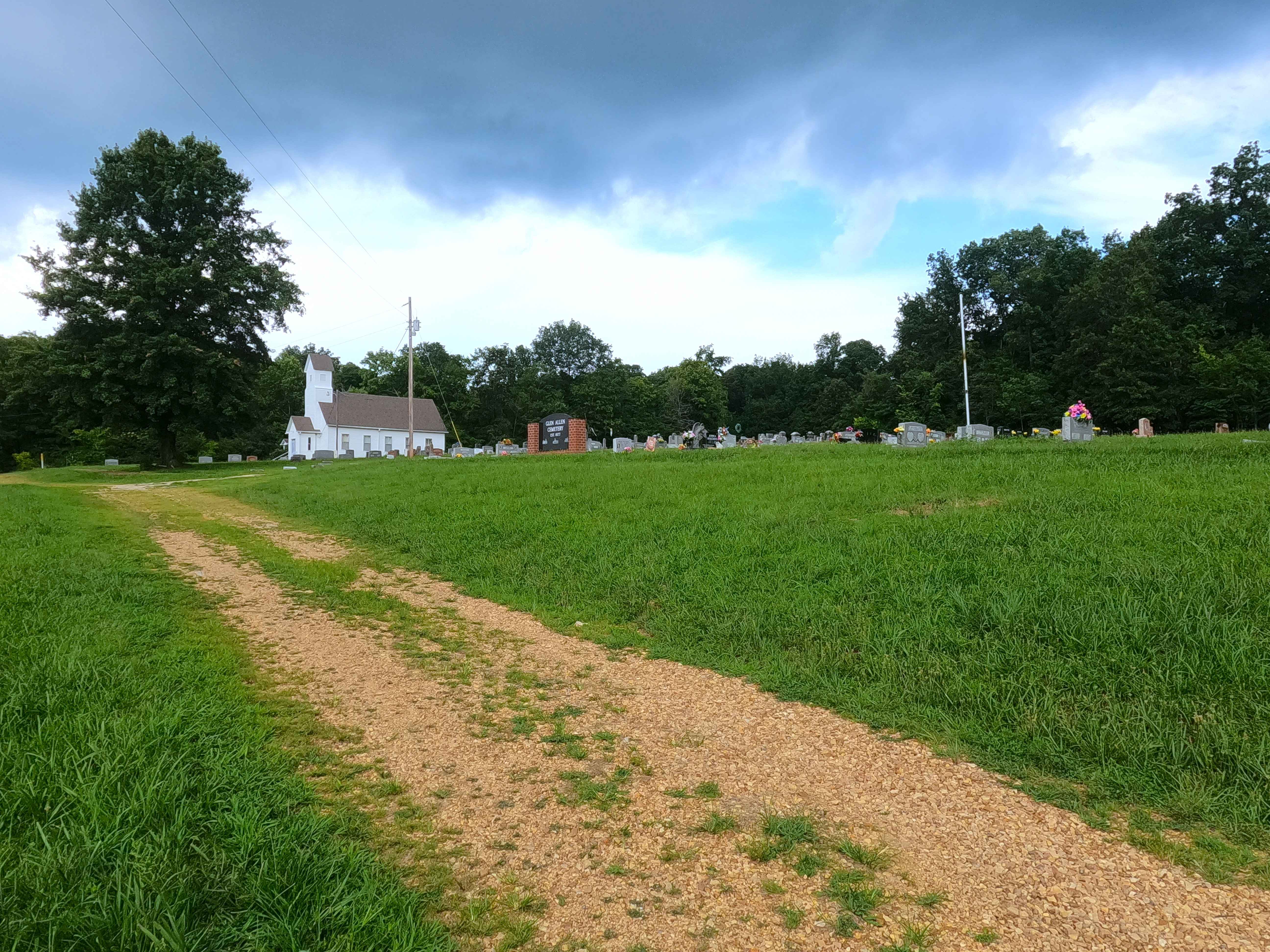
Historically, Glenallen was built as a railroad hub, as part of the Belmont Branch of the St. Louis, Iron Mountain and Southern, completed in 1869, and then the town was settled in 1870. The railroad started at Bismarck, Missouri, eventually entering Bollinger County, passing through Bessville, Glenallen, Lutesville, and Laflin. It continued on a southeasterly route until it met the Mississippi River at Belmont Landing, Missouri. In 1917, the St Louis, Iron Mountain, and Southern Company was merged into the Missouri Pacific Railroad. Around 1972-1973, the northern segment of the line was abandoned, including the segment in Glenallen, and the southern segments followed suit by the time 1984 came around. A one-mile segment of the BCR 804 close to the eastern end is built on the old rail bed, where the road bends westward at 37.34377, -90.04154, the old rails turned northward and went towards an old train tunnel, which still exists today, but is on private property. On the night of April 5, 2023, a high-end EF-2 (130 MPH winds) Tornado cut through the hills and valley between Grassy to Marble Hill, directly hitting Glenallen, causing damage to the majority of houses in the village, killing 5 people, and injuring several others. Documented by Christopher Menz 10/2025.
Status Reports
Glenallen Road - BCR 804 can be accessed by the following ride types:
- High-Clearance 4x4
- SUV
- SxS (60")
Glenallen Road - BCR 804 Map
Popular Trails

Cistern Ridge - FS 2478
Sutton Bluff ATV 4 South - SB 4
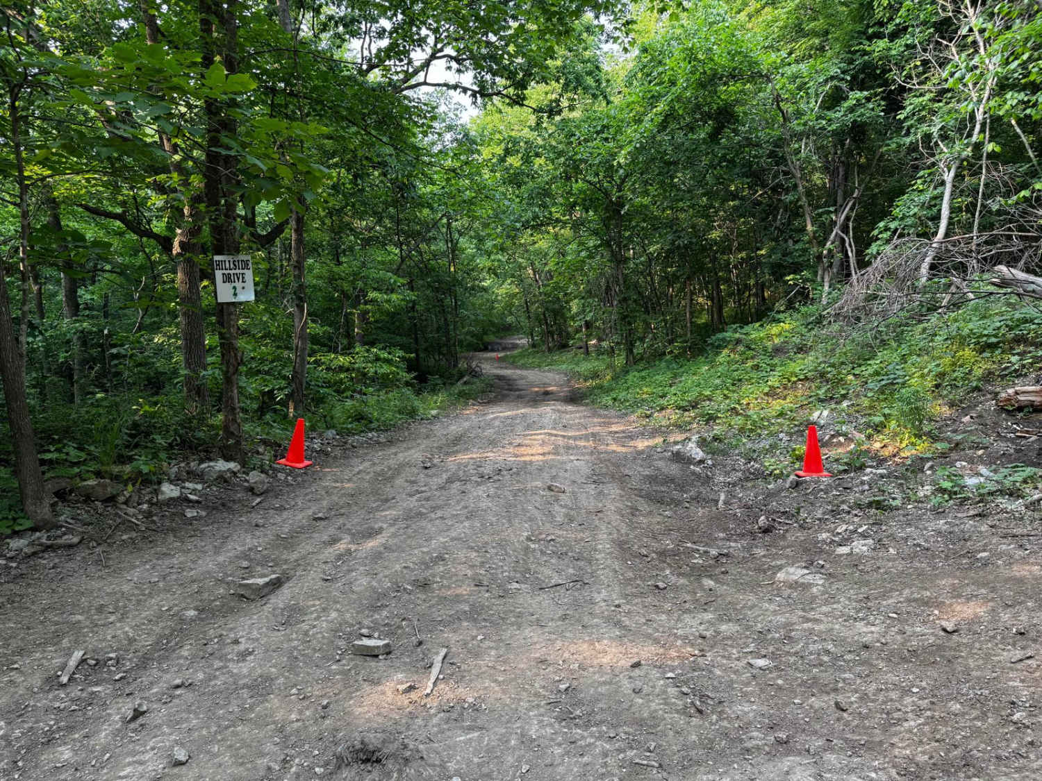
Hillside Drive 142
The onX Offroad Difference
onX Offroad combines trail photos, descriptions, difficulty ratings, width restrictions, seasonality, and more in a user-friendly interface. Available on all devices, with offline access and full compatibility with CarPlay and Android Auto. Discover what you’re missing today!