Glade Top Southwest - FS 149
Total Miles
5.7
Technical Rating
Best Time
Spring, Summer, Fall, Winter
Trail Type
Full-Width Road
Accessible By
Trail Overview
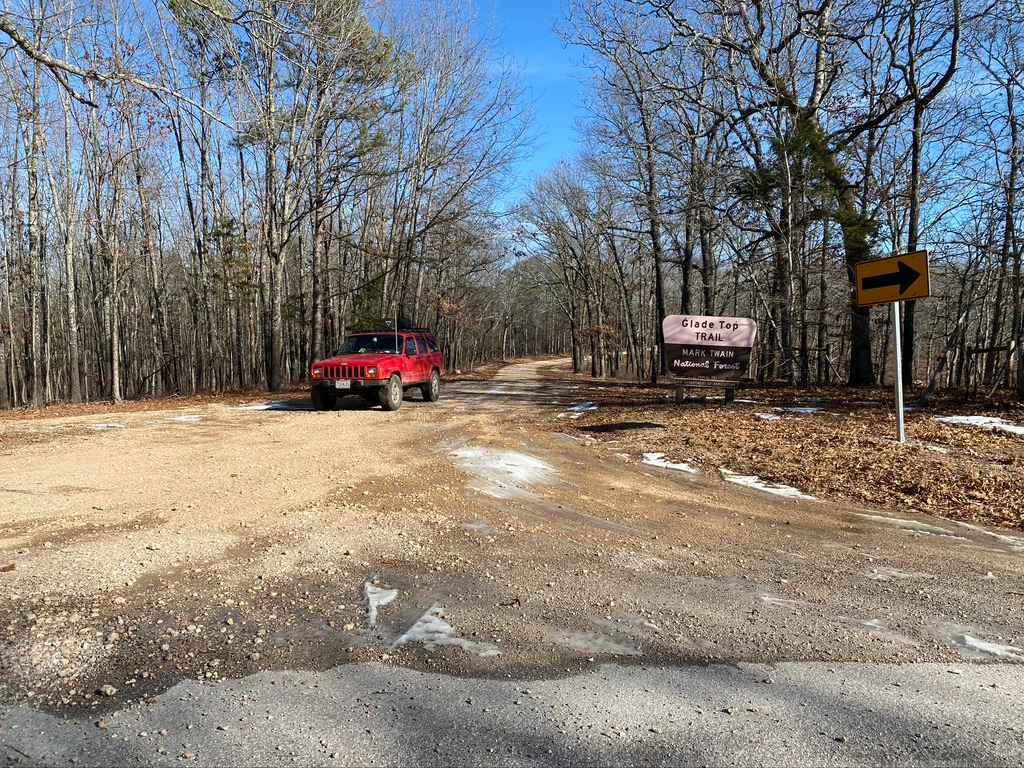
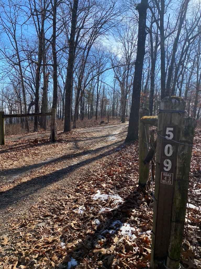
Glade Top Southwest FS 149 is the southwest 5.8-mile section of the maintained gravel forestry road from Fairview, Missouri, to the Wolf Junction intersection. This is the southwest branch of the official Glade Top National Scenic Byway within Mark Twain National Forest, Ava Unit. If desiring widespread views of natural ridge-top forest scenery across the northern Ozark landscape, look no further. Glade Top boasts breathtaking views for miles, showing off the rolling hilly area surrounding the maintained gravel road. These roads are the foundational means of traversing the area from end to end or the access points of the side trails. Side trails are a strong point of the FS 149, featuring access to some of the most popular side trails of Glade Top, including the FS 507, 509, 510, and 912. Along the Scenic Byway, there are many features, including roadside dispersed camping sites (such as 36.66703, -92.84350), the overlook point of Big Creek Basin at 36.67575, -92.80512, and historic spots of previous human activity and homesteads. A notable intersection is at the east endpoint of the Glade Top Southwest FS 149 with the Glade Top South FS 147; this road goes north and south from 36.69654, -92.78411. Also at this intersection is a small picnic park area called Wolf Junction (south side) and an old concrete foundation (north side). This is the closest portion of the Glade Top network to Branson, Missouri, and a great place to start an adventurous day in the area.
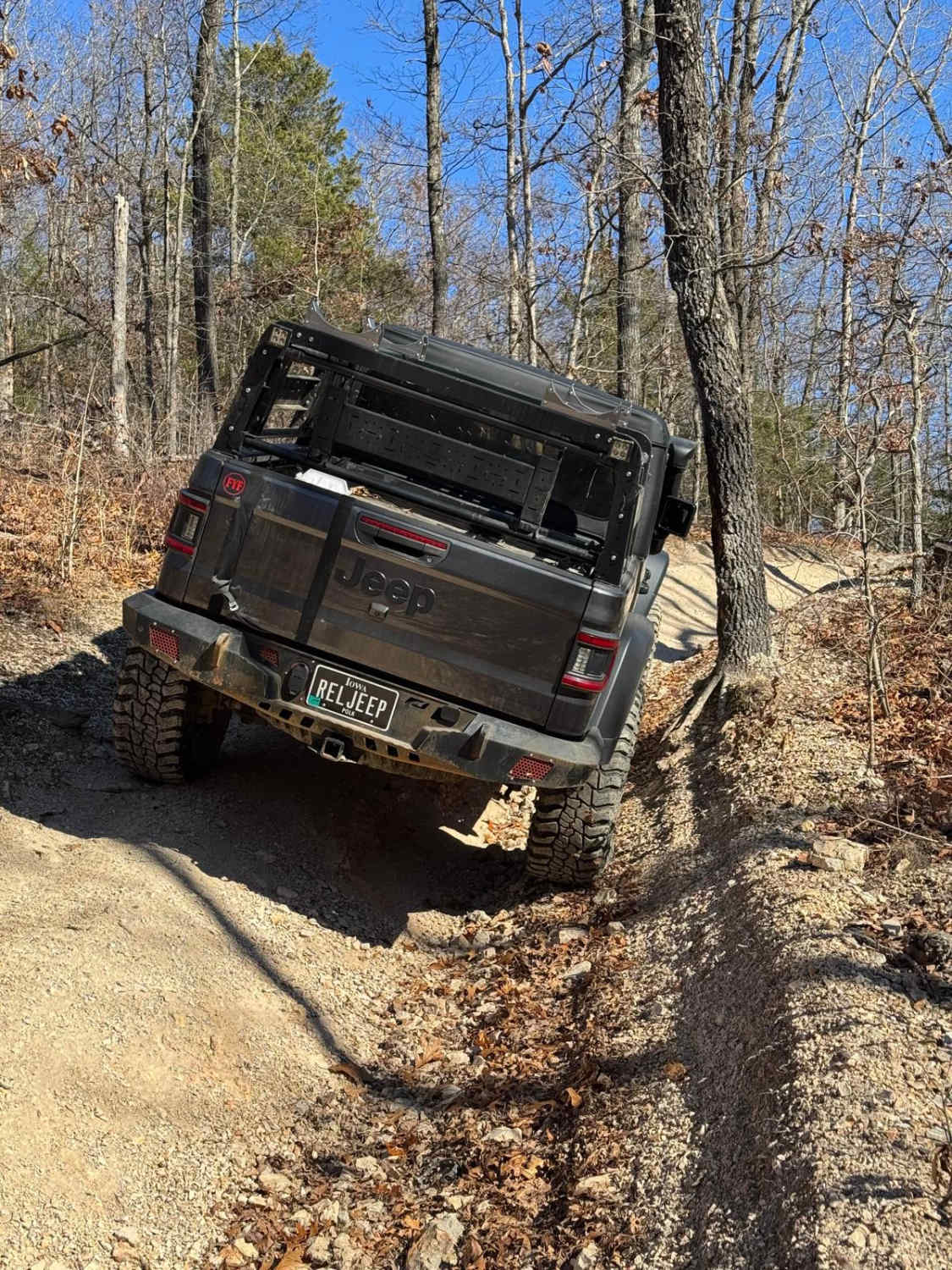
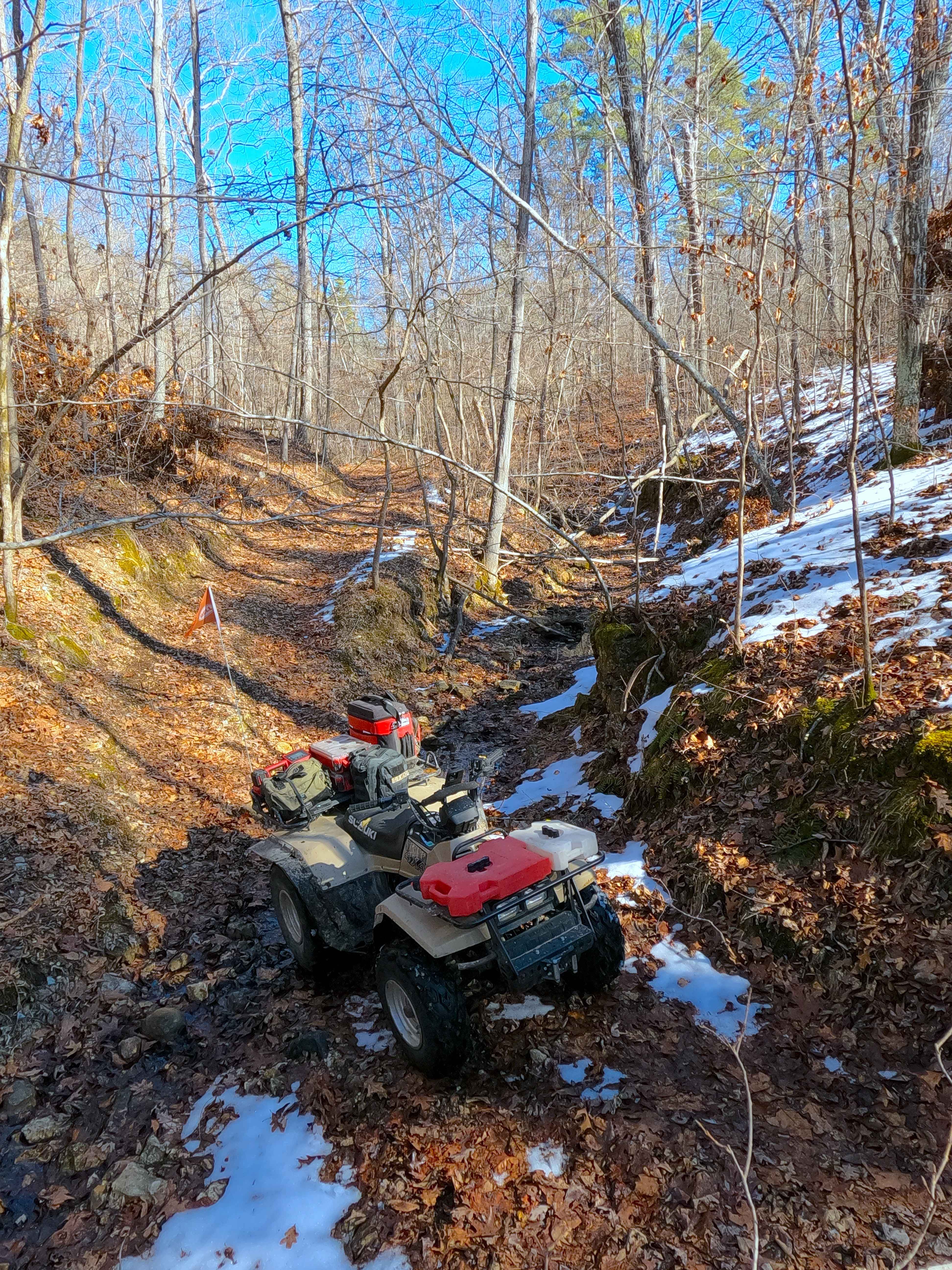
Photos of Glade Top Southwest - FS 149
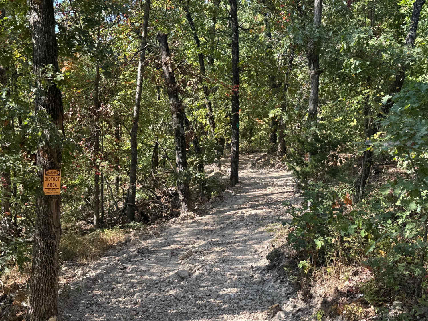
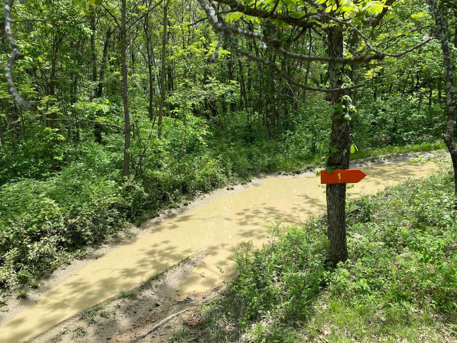
Difficulty
The difficulty of the FS 149 is minimal. Along its track, you'll encounter mild graded inclines/declines, potholes, washboarding, and mounding of the gravel. In spots, there may also be natural rock sticking out at the road surface. It's given a 1/10 for this simplicity. Difficulty could increase in times of wet and inclement conditions or after heavy use, but the road is rarely left in a rough state.
History
The Glade Top Trail is a Civilian Conservation Corps [CCC] built road that was designated a Scenic Byway in 1989. Portions of Forest Roads 147, 149, and 150 comprise the trail. The trail follows a series of ridgetops through the central glade area of the White River Hills. The Glade Top Trail is little changed from the original road constructed by the Civilian Conservation Corps in the late 1930s. For twenty-three miles, the two-lane, all-weather gravel road follows narrow ridge tops rising approximately 500 feet above the surrounding rolling countryside and overlooks and passes through many limestone/dolomite glades interspersed with open and closed woodlands. (Sourced from the USDA website.)
Status Reports
Glade Top Southwest - FS 149 can be accessed by the following ride types:
- High-Clearance 4x4
- SUV
Glade Top Southwest - FS 149 Map
Popular Trails
Yellow 225
Sutton Bluff ATV 11 - SB 11
The onX Offroad Difference
onX Offroad combines trail photos, descriptions, difficulty ratings, width restrictions, seasonality, and more in a user-friendly interface. Available on all devices, with offline access and full compatibility with CarPlay and Android Auto. Discover what you’re missing today!