Pine Tar Corner
Total Miles
7.5
Technical Rating
Best Time
Fall
Trail Type
Full-Width Road
Accessible By
Trail Overview
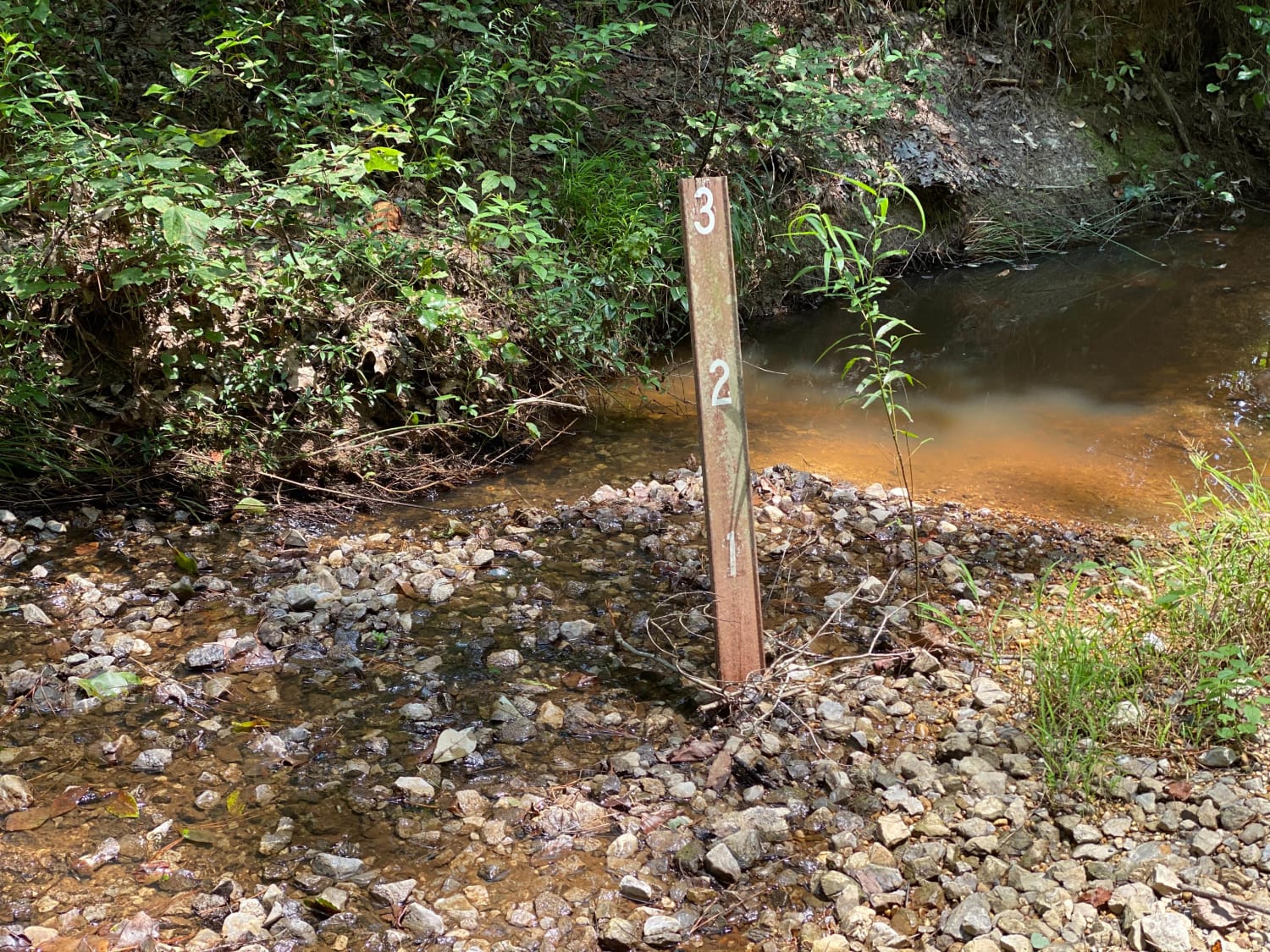
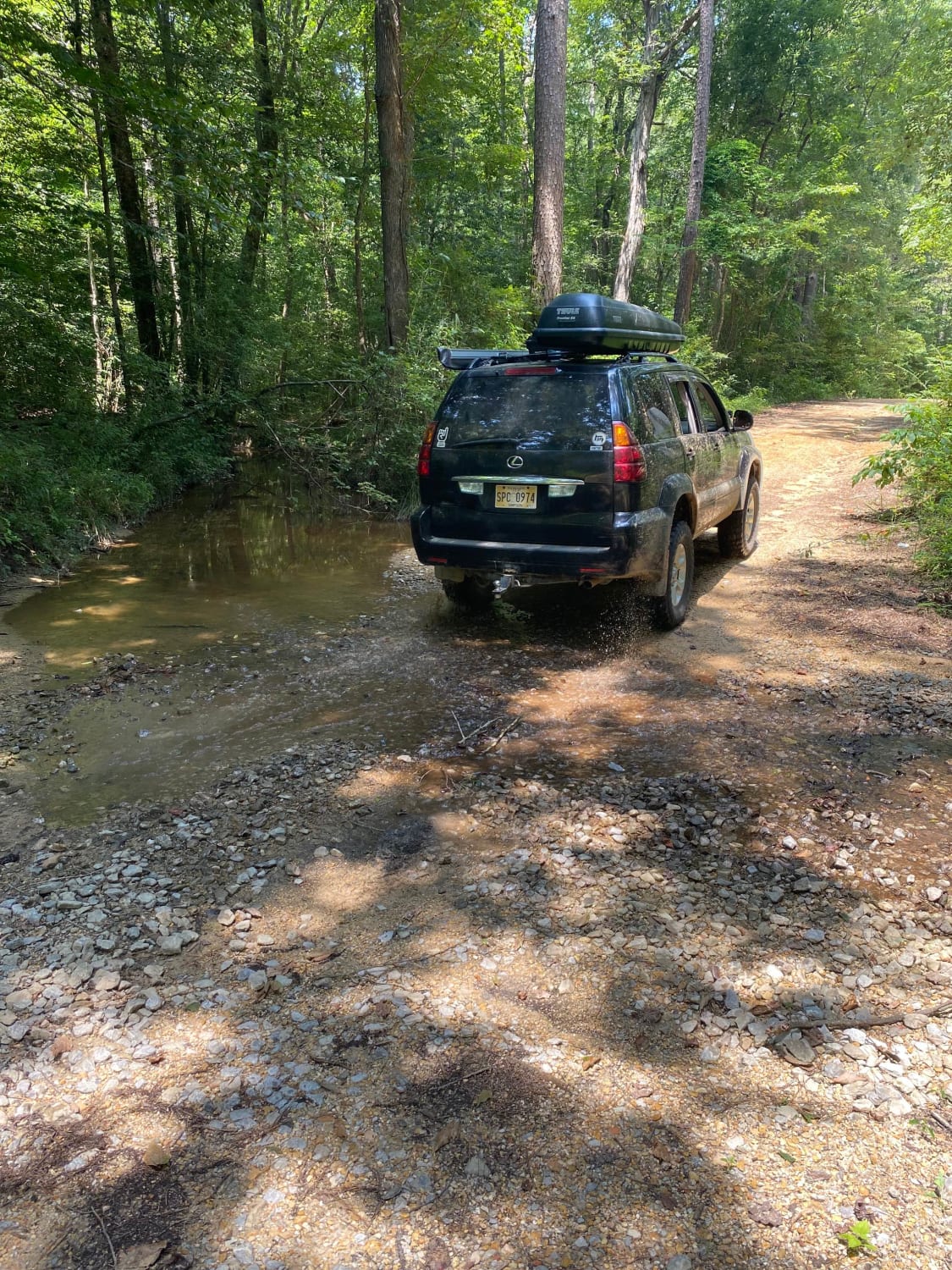
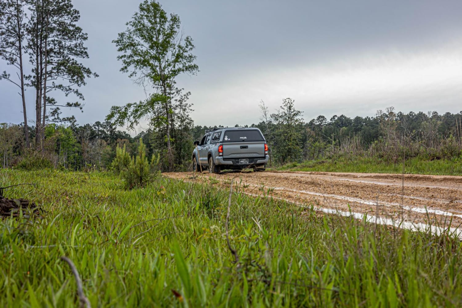
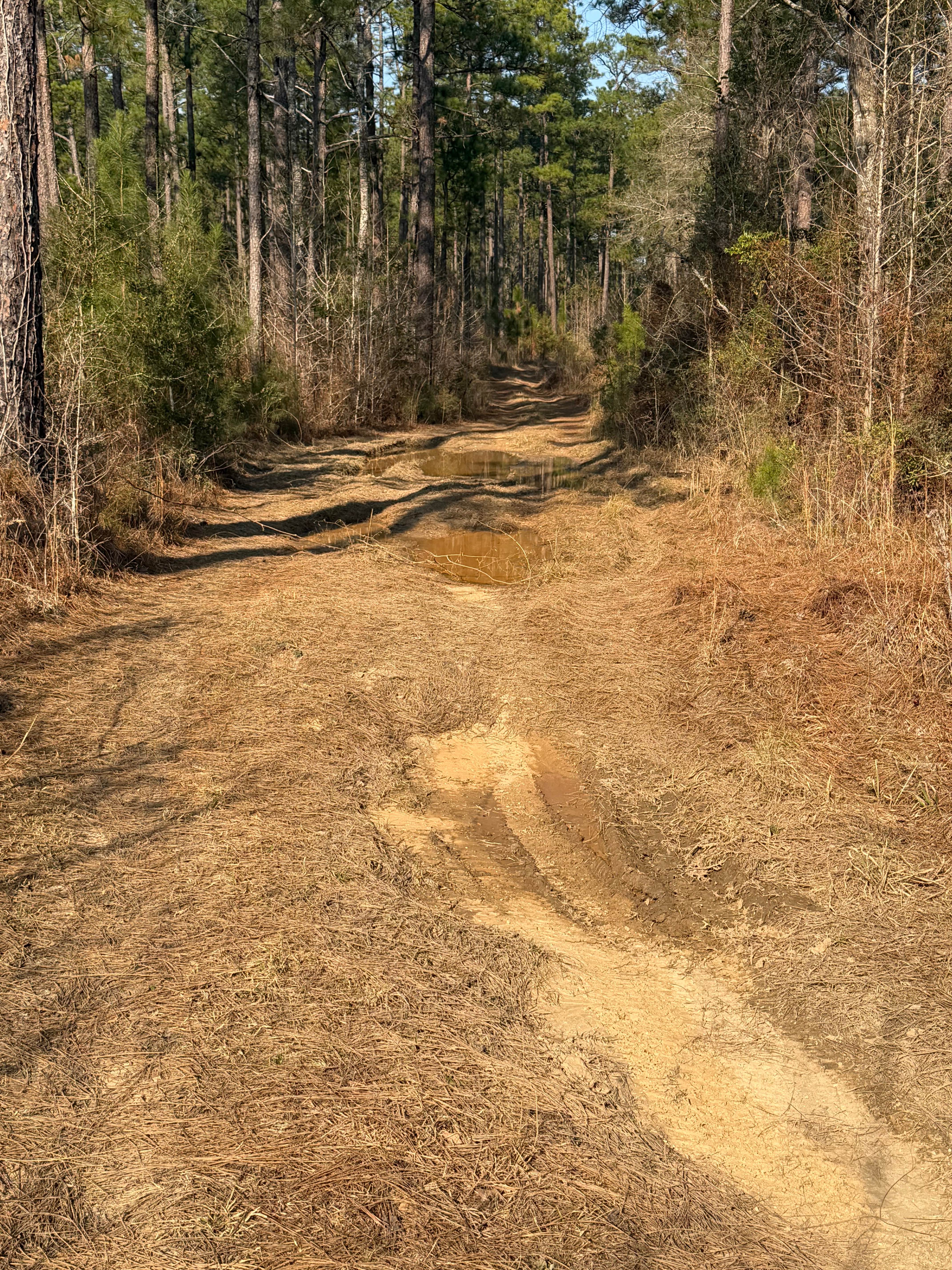
This is the southwest corner of Beinville National Forest. The trail is made up of 3 roads in this order, USFS Road 516, Smith County Road 521, and USFS Road 521-A. This is a pretty easy trail as long as you have 4wd. The end of this trail on USFS road 521-A isn't well maintained. USFS Rd 521-A could be very slick after a rain. This is beautiful landscape to see all throughout it's entirety. There are multiple spots to camp down each road.
Photos of Pine Tar Corner
Difficulty
After inclement weather roads could become very slick. At the end of the trail there are a decent amount of shallow mud holes without rain this past week. The creek crossing could also get deep, depending on the amount of rainfall
Status Reports
Pine Tar Corner can be accessed by the following ride types:
- High-Clearance 4x4
- SUV
- SxS (60")
- ATV (50")
- Dirt Bike
Pine Tar Corner Map
Popular Trails

FS 527/FS 527A
Left Branch - FS 308K
Kings Point Island
The onX Offroad Difference
onX Offroad combines trail photos, descriptions, difficulty ratings, width restrictions, seasonality, and more in a user-friendly interface. Available on all devices, with offline access and full compatibility with CarPlay and Android Auto. Discover what you’re missing today!