FS 533
Total Miles
2.3
Technical Rating
Best Time
Summer, Spring, Fall, Winter
Trail Type
Full-Width Road
Accessible By
Trail Overview
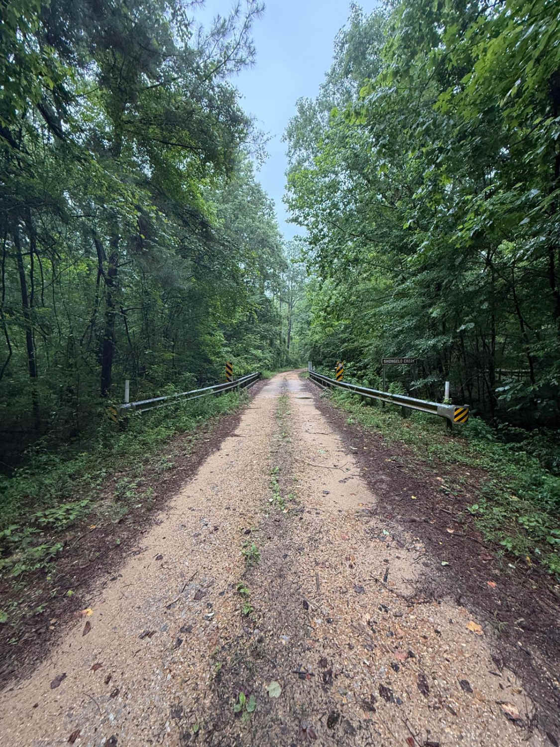
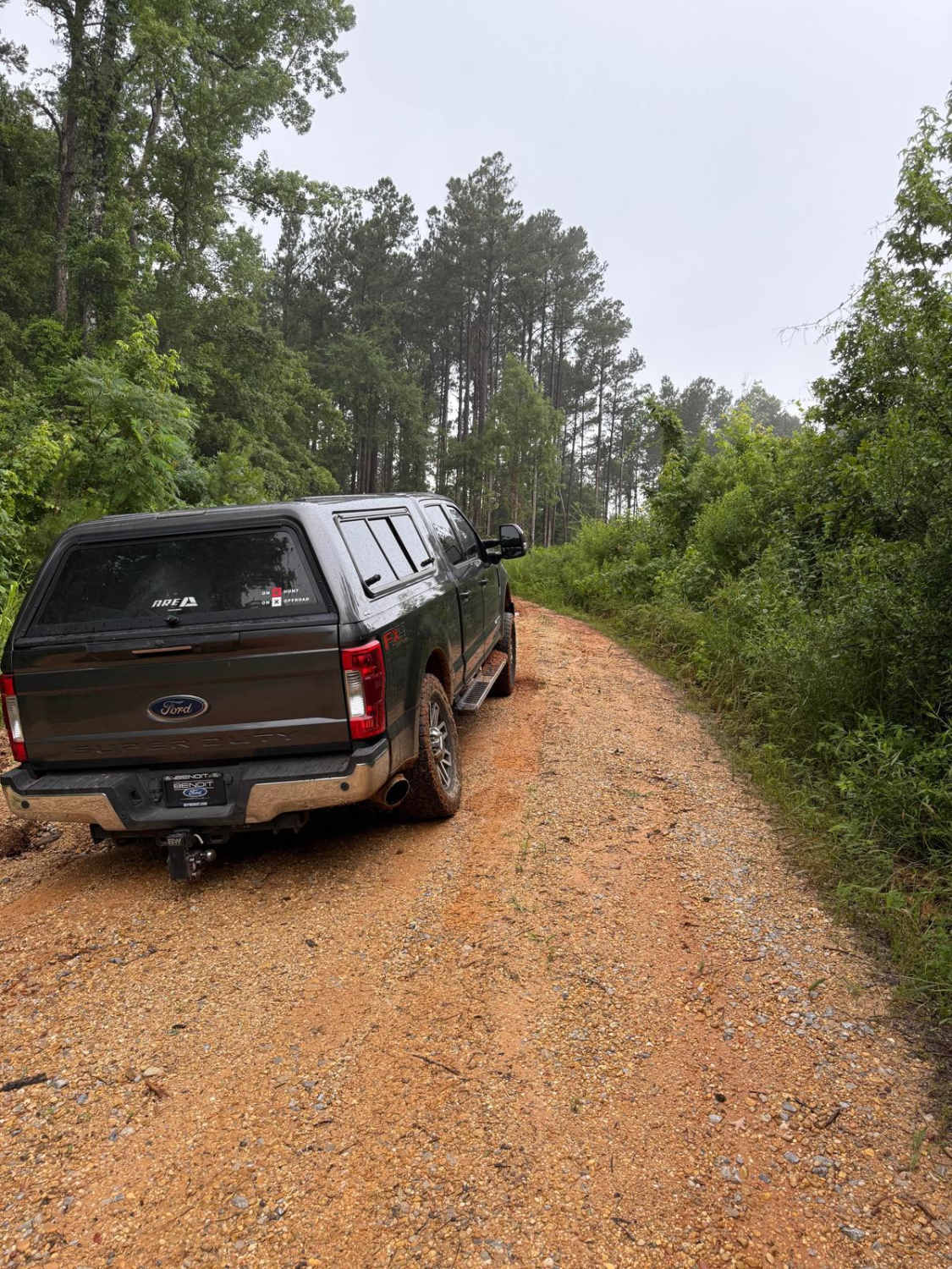
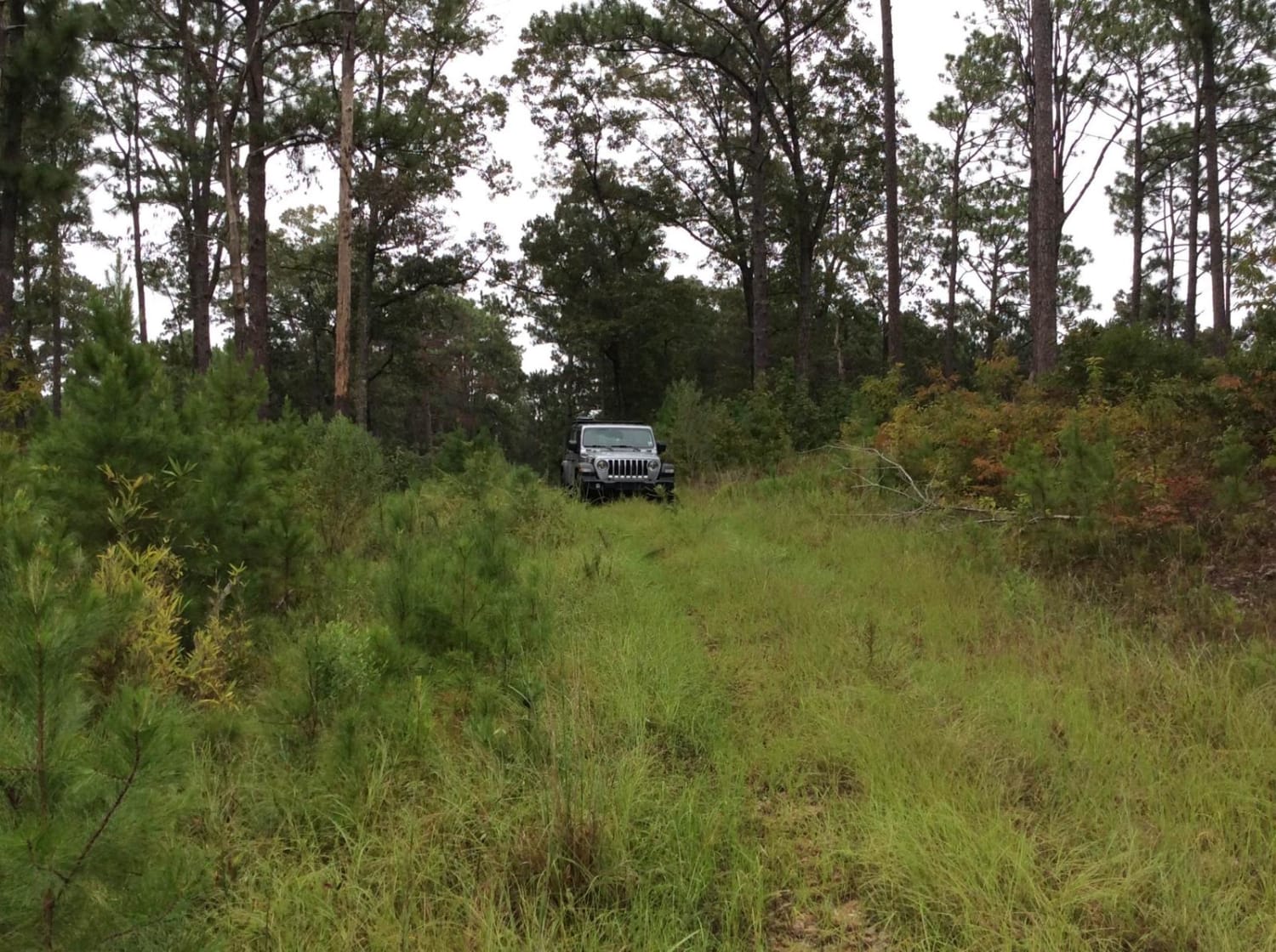
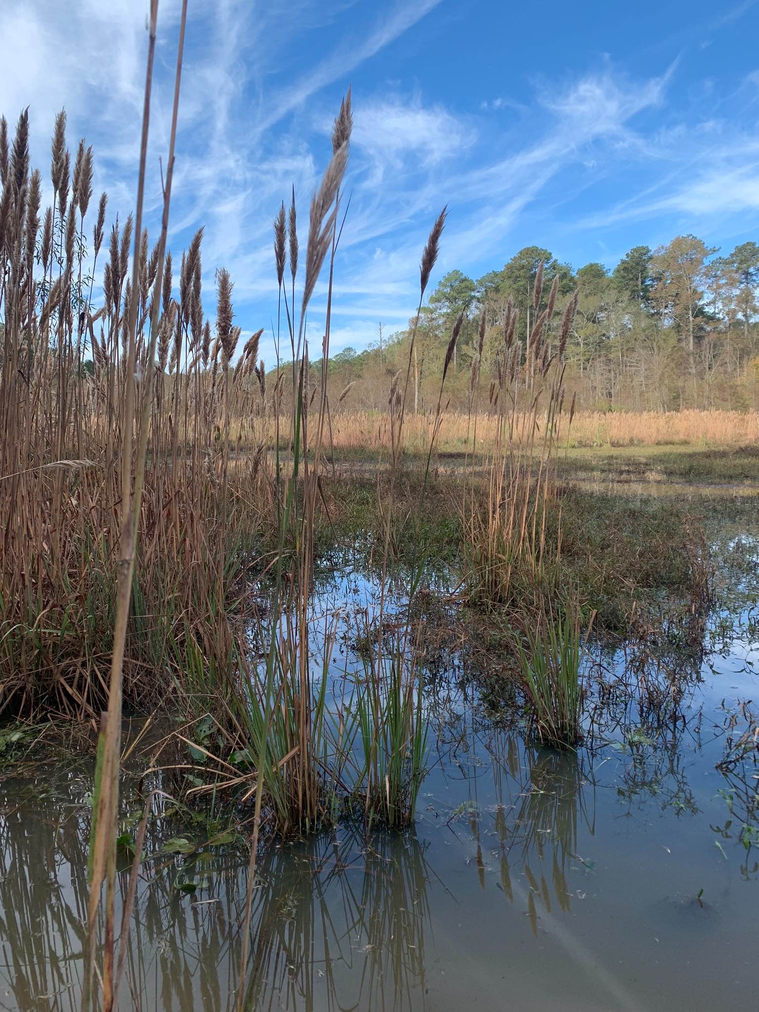
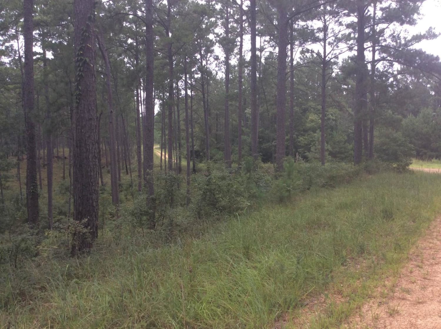
As you turn off Highway 35 onto FS 533, there will be well-maintained, hard-packed gravel for a while. Then, as you traverse the trail, the first obstacle is a gnarly washout that spans across the width of the road, followed by a muddy downhill descent. You'll eventually come across a bridge over Shongelo Creek, a spring-fed creek that feeds Shongelo Lake. Keep going and you'll come to a "T" in the road, technically 533A. The path to the right takes you through a pretty cove with wildlife, eventually bringing you to a locked gate and a wide open spot to camp or turn around. If you take a left, the trail runs much further and is mostly heavily wooded, minus a small cutover. If you take an immediate right after turning left at the "T," you'll run into a locked gate with a road closed sign. There are usually trucks at this spot during hunting season. If you pass the gate on your right, you can continue down 533A for a while, and it consists of some beautiful places to camp and a lot of red mud. 533A eventually ends and has a wide spot for a turnaround.
Photos of FS 533
Difficulty
The red mud is very slick, and the washout at the beginning will be challenging for a 2WD vehicle.
Status Reports
FS 533 can be accessed by the following ride types:
- High-Clearance 4x4
- SUV
- SxS (60")
- ATV (50")
- Dirt Bike
FS 533 Map
Popular Trails
Homochitto National Forest Trail 126B
Beinville NF (Lena to Laurel)

South Lake Trail
HCNF Swayze Trace Trail
The onX Offroad Difference
onX Offroad combines trail photos, descriptions, difficulty ratings, width restrictions, seasonality, and more in a user-friendly interface. Available on all devices, with offline access and full compatibility with CarPlay and Android Auto. Discover what you’re missing today!