Homochitto National Forest Trail 126B
Total Miles
3.2
Technical Rating
Best Time
Spring, Summer, Fall, Winter
Trail Type
Full-Width Road
Accessible By
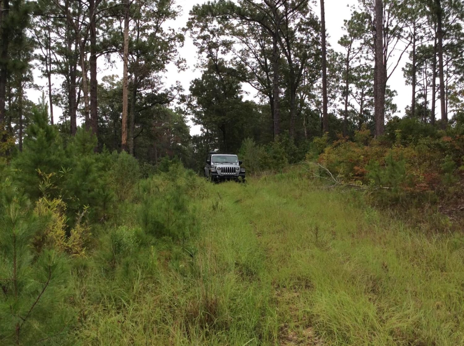
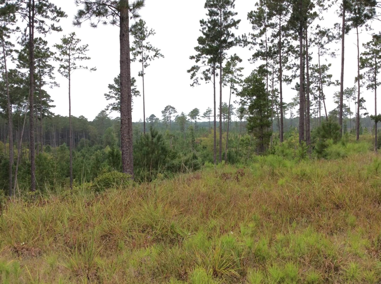
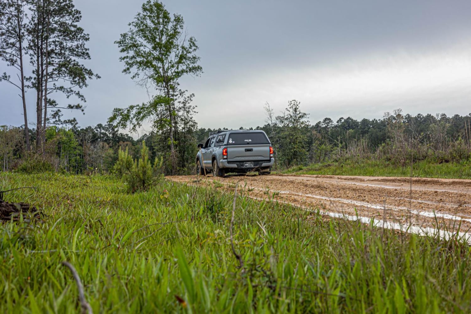
Trail Overview
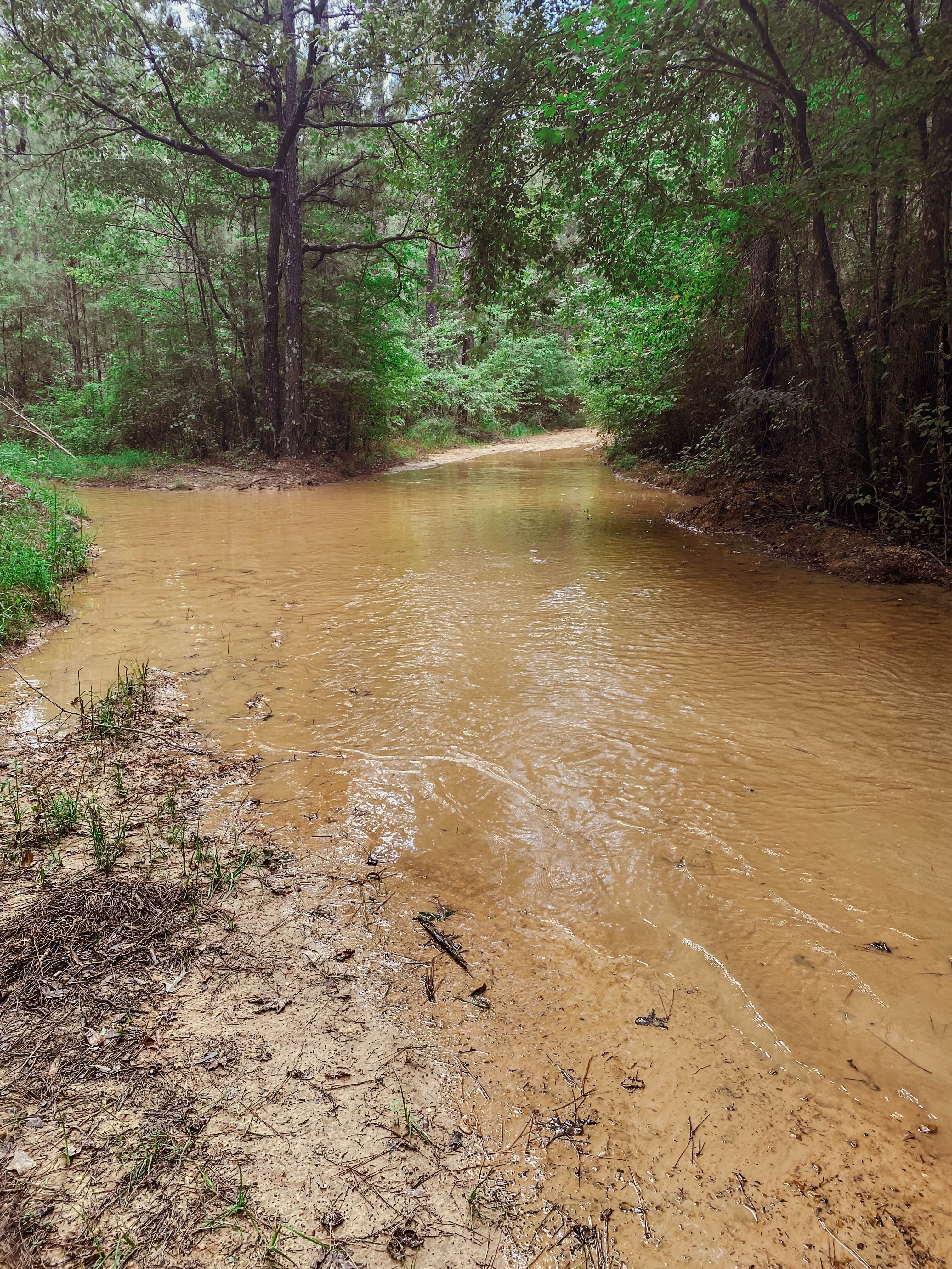
This trail is located on the far western side of the Homochitto National Forest. The trail follows ridge lines along pine forest areas that allow trees to be well-spaced with undergrowth areas that provide great views along the entire route. Some of the areas have previously been part of logging operations and allow some long-distance views along the top of ridges. Some of the areas that have undergone these logging operations have spur trails that can increase the trail rating due to dirt or grass trails that are no longer maintained but can be traversed with care. This area offers some very primitive camping options as well.
Photos of Homochitto National Forest Trail 126B
Difficulty
If you stay on the main trail, this route is easy for an SUV, 4x4, or overland vehicle. If you venture off on any of the spurs, be prepared to engage your 4x4 High or Low setting, especially if there has been rain recently.
Status Reports
Homochitto National Forest Trail 126B can be accessed by the following ride types:
- High-Clearance 4x4
- SUV
Homochitto National Forest Trail 126B Map
Popular Trails
Witch Dance Hill
Pearl River Run

Black Cat Bottom
The onX Offroad Difference
onX Offroad combines trail photos, descriptions, difficulty ratings, width restrictions, seasonality, and more in a user-friendly interface. Available on all devices, with offline access and full compatibility with CarPlay and Android Auto. Discover what you’re missing today!