Whyte Road
Total Miles
1.1
Technical Rating
Best Time
Spring, Summer, Fall, Winter
Trail Type
Full-Width Road
Accessible By
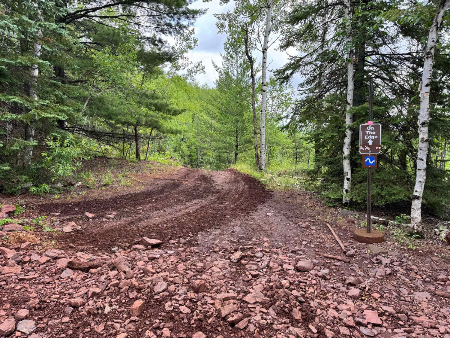
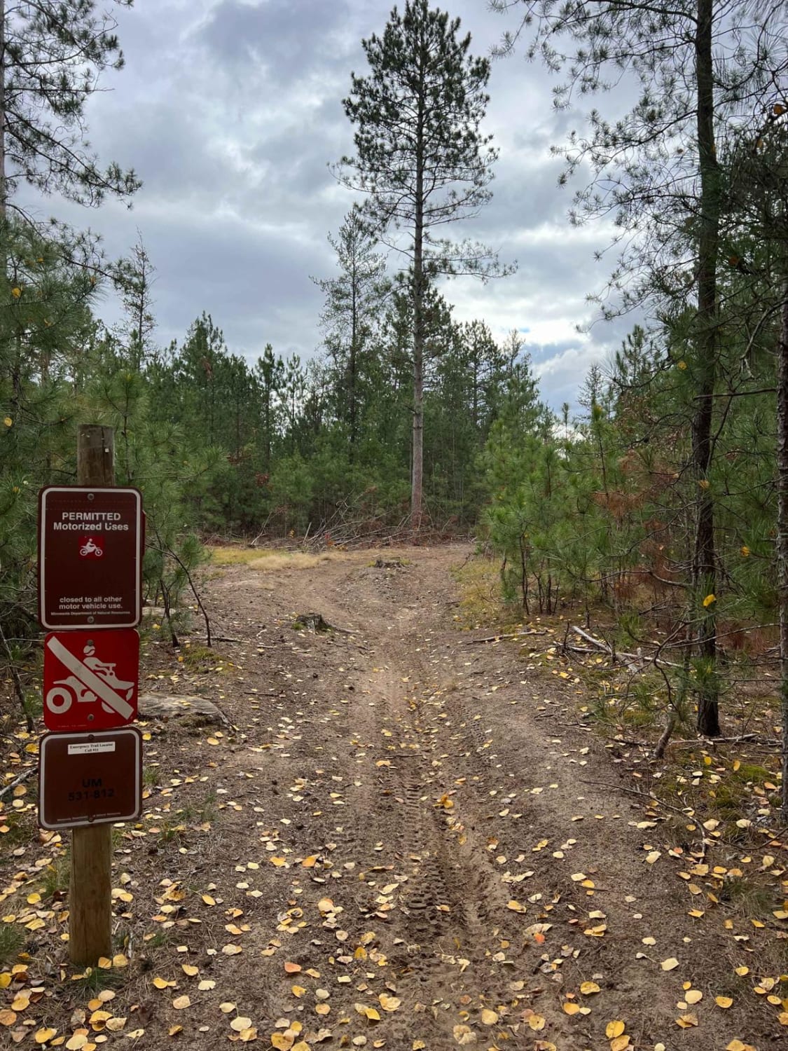
Trail Overview
This trail is accessed from Trail 419 and begins by crossing over a set of railway tracks. From the outset, the trail is narrow and unmaintained, with a rough surface made up of rocks, deep potholes, and sections of standing mud. The route is overgrown in many areas and becomes especially boggy where it skirts the edge of a wetland. Large bumps and uneven ground are common, and drivers should be prepared for challenging conditions. Several smaller trails branch off along the way, most of which appear suitable only for ATVs, side-by-sides, or snowmobiles. The trail eventually ends at a clearing, which may offer a potential spot for dispersed camping, though it is informal and unserviced. Beyond the clearing, the trail is completely overgrown and appears to be unused. A single portable toilet is located near the railway crossing and appears to be functional, but there are no other amenities such as trash disposal or access to drinking water. Cell service may be intermittent or entirely unavailable.
Photos of Whyte Road


Difficulty
This trail has not been maintained and is rarely used. Expect overgrowth, downed trees, and dense underbrush in areas. Travel is slow with backcountry obstacles.
Status Reports
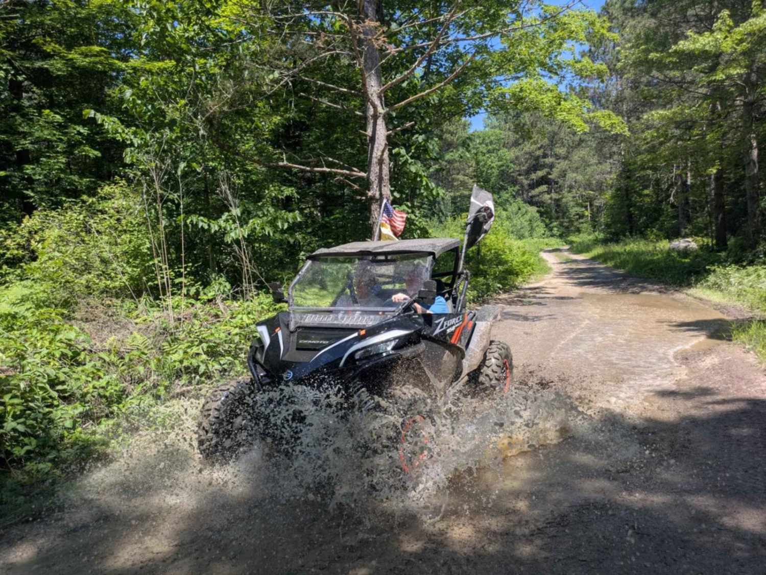
Whyte Road can be accessed by the following ride types:
- High-Clearance 4x4
- SUV
Whyte Road Map
Popular Trails
On the Edge

Circle Farm Trail
The onX Offroad Difference
onX Offroad combines trail photos, descriptions, difficulty ratings, width restrictions, seasonality, and more in a user-friendly interface. Available on all devices, with offline access and full compatibility with CarPlay and Android Auto. Discover what you’re missing today!