West Branch Trail
Total Miles
3.7
Technical Rating
Best Time
Spring, Summer, Fall, Winter
Trail Type
Full-Width Road
Accessible By
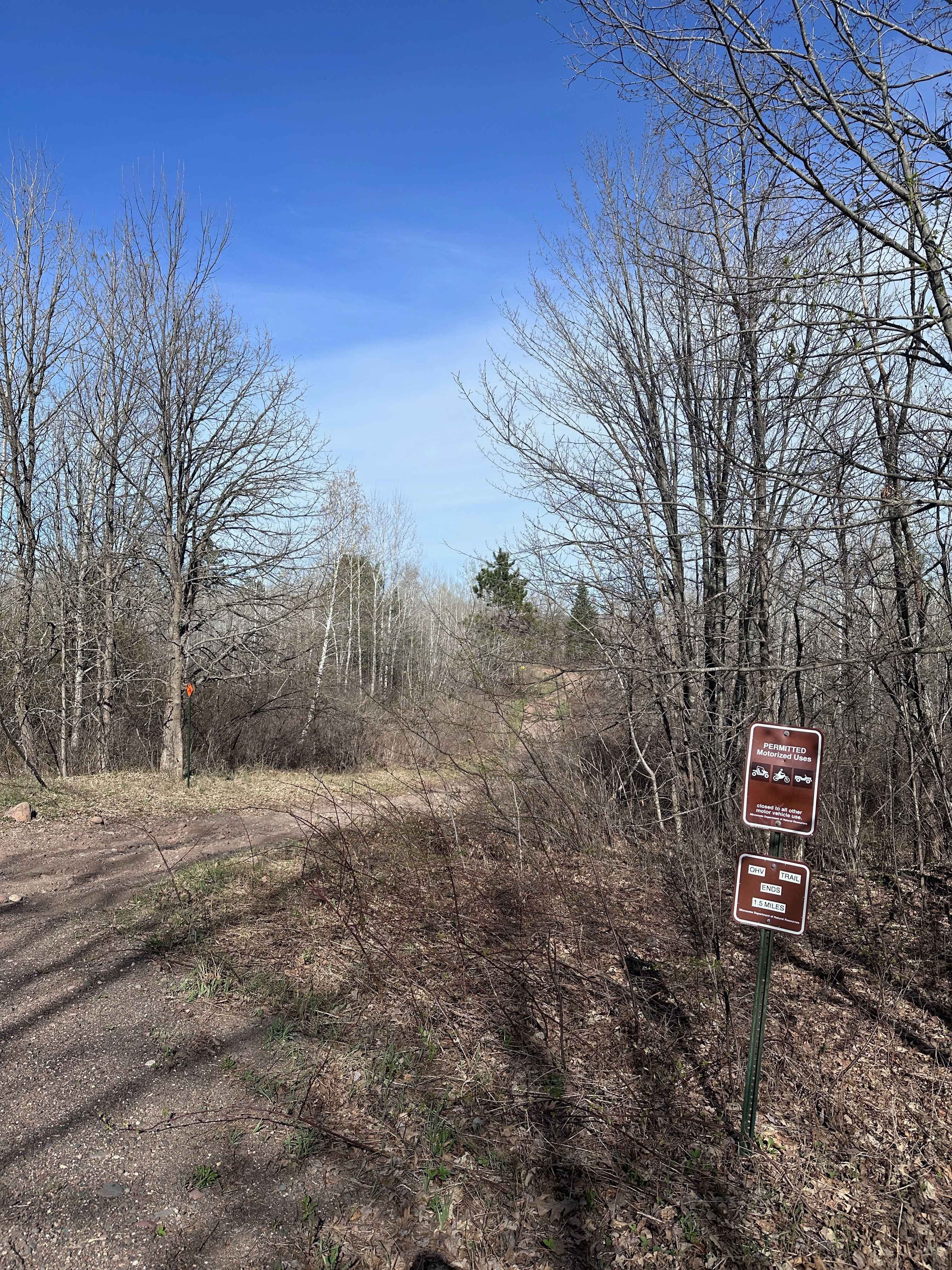
Trail Overview
This well-maintained trail runs through dense forest and shows signs of regular use by logging vehicles, which have left sections of the surface corrugated and rough. The trail is relatively easy to follow at first, though it gradually becomes narrower and more overgrown the farther you travel. Several side trails branch off the main route, some of which appear to be used for logging or access to private land. A residence is located near the end of the trail, and traffic from large trucks is common, so caution is advised throughout. Although the trail itself does not provide developed campsites, there are multiple clearings along the way where dispersed camping may be possible. There are no services or facilities along the route--no restrooms, waste bins, or water sources--and cellular coverage may be limited or nonexistent. Campers should plan accordingly and follow Leave No Trace practices.
Photos of West Branch Trail


Difficulty
This logger's trail is maintained but can develop light overgrowth between trims, especially in the summer months. Commonly used local OHV traffic, the path remains visible and passable, though low brush may occasionally encroach.
Status Reports
West Branch Trail can be accessed by the following ride types:
- High-Clearance 4x4
- SUV
West Branch Trail Map
Popular Trails
Trout Brook Trail
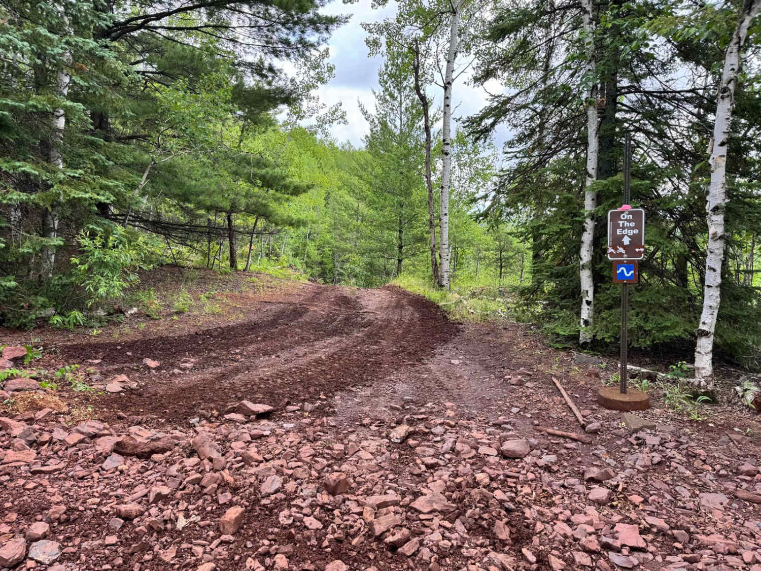
On the Edge


Osborn Road
The onX Offroad Difference
onX Offroad combines trail photos, descriptions, difficulty ratings, width restrictions, seasonality, and more in a user-friendly interface. Available on all devices, with offline access and full compatibility with CarPlay and Android Auto. Discover what you’re missing today!