UPM Blandin Trail South
Total Miles
11.0
Technical Rating
Best Time
Spring, Summer, Fall
Trail Type
60" Trail
Accessible By
Trail Overview
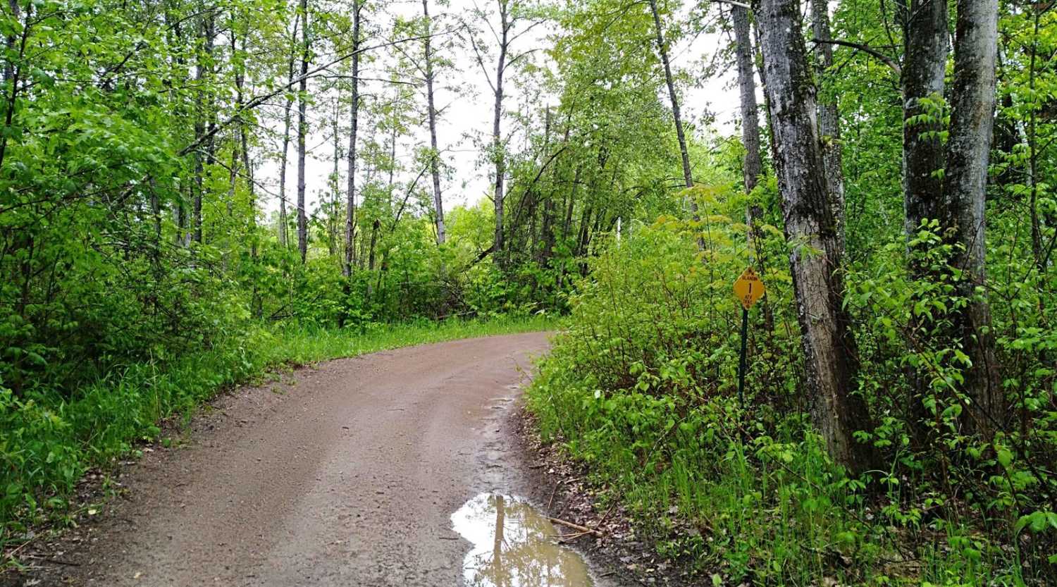
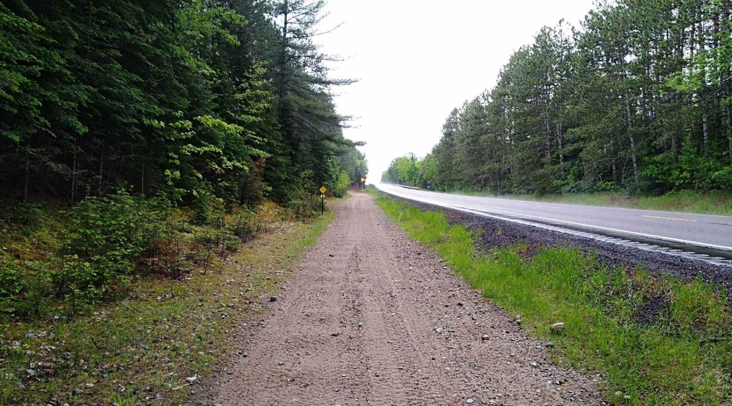
UPM Blandin Trail South area starts from the Rabey Line and runs northwest 11.1 miles to the picnic area overlooking Cook Lake. The travel time is about an hour with an average speed of 9.6 MPH. The trail is easy to follow with changes in scenery from lightly wooded to open areas and wetlands. From either direction, you will find a fork in the trail and see a sign that reads, "Scenic Route" for the longer leg that keeps you to the west. The scenic route is about six-tenths of a mile while the slightly shorter route measures about four-tenths of a mile. (Both are easy trails.)
Photos of UPM Blandin Trail South
Difficulty
This section is easy and flat converted rail grade. There's no need for 4x4 or even to lock the rear differential. The surface is packed gravel without large rocks. Some of the areas have larger stones in the gravel but they're not an issue. Bridge crossings are well-marked and are about the only areas you need to use extra care and slow down. Some of the bridges in this section do not have side rails since they cross bog areas, deep water, or ditches and may have a curve to them.
UPM Blandin Trail South can be accessed by the following ride types:
- SxS (60")
- ATV (50")
- Dirt Bike
UPM Blandin Trail South Map
Popular Trails

Spruce Almighty

Brimson Road
The onX Offroad Difference
onX Offroad combines trail photos, descriptions, difficulty ratings, width restrictions, seasonality, and more in a user-friendly interface. Available on all devices, with offline access and full compatibility with CarPlay and Android Auto. Discover what you’re missing today!


