Tamarack Sandway
Total Miles
4.5
Technical Rating
Best Time
Spring, Summer, Fall
Trail Type
60" Trail
Accessible By
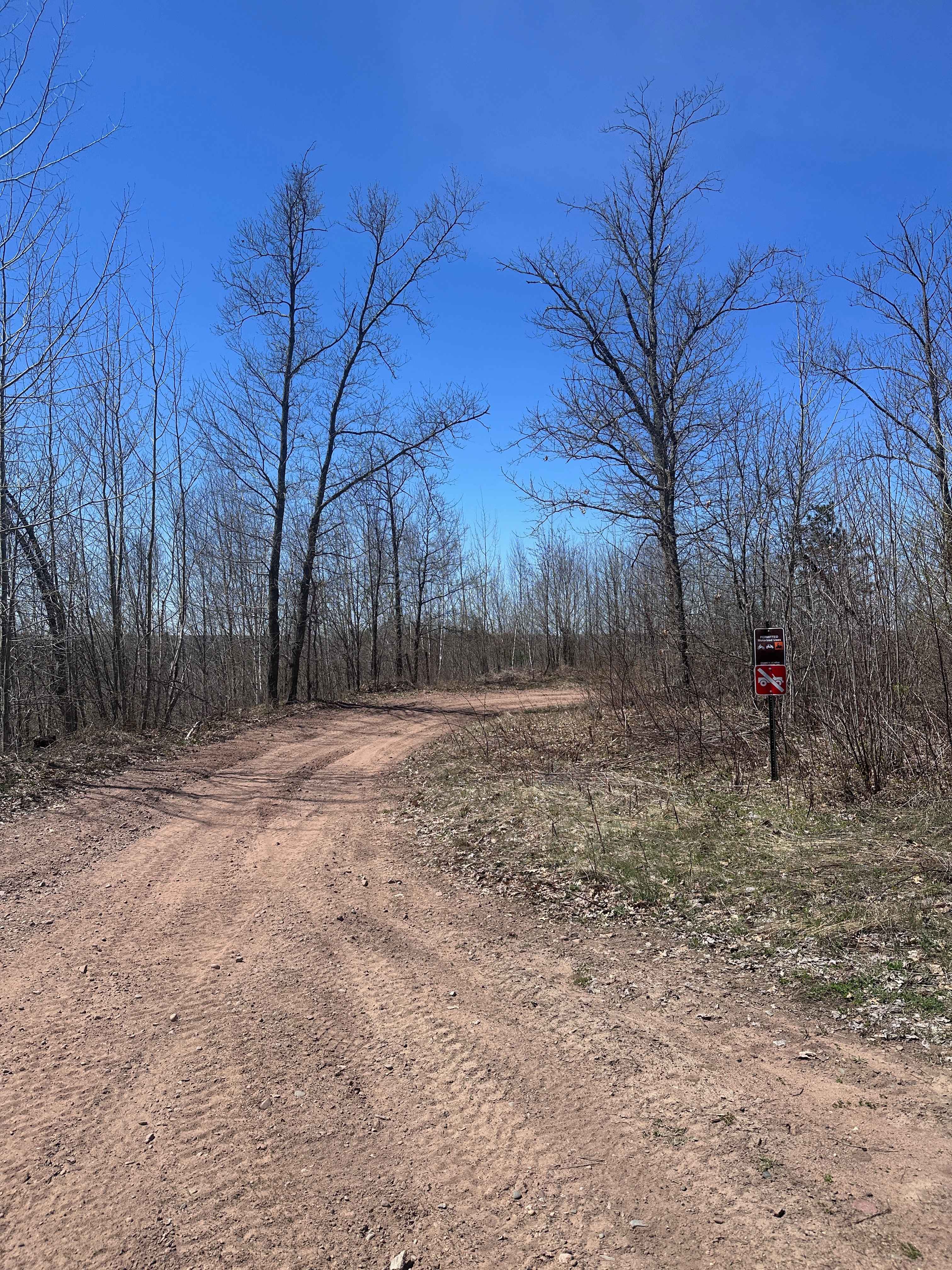
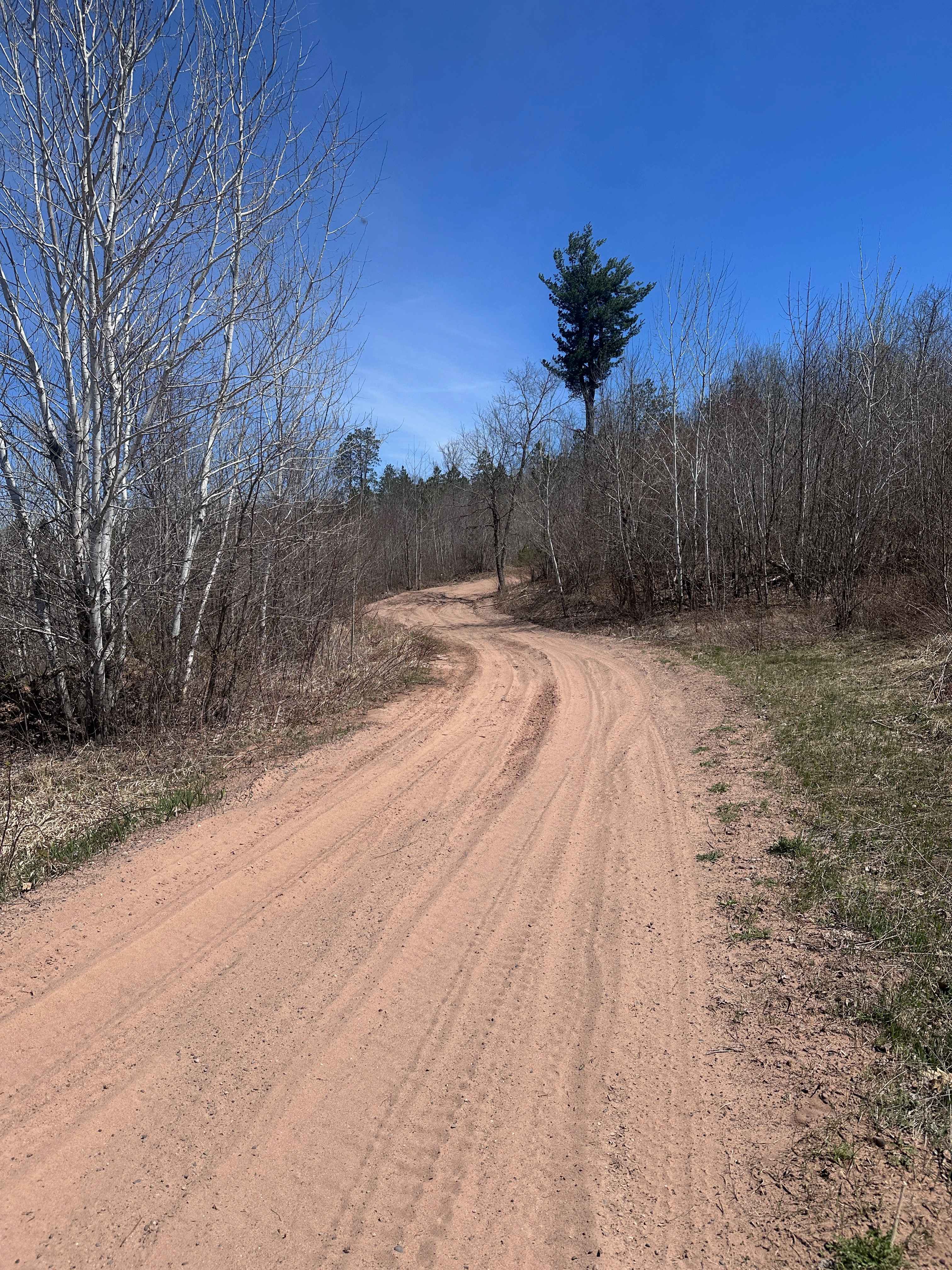
Trail Overview
Tamarack Sandway is a long sand track that runs adjacent to the Lower Tamarack River. The trail begins at the end of St.Croix High Line South and is OHV only. Expect rolling terrain with deep, sugary sand that's loose and dusty in dry conditions. There are lots of blind corners and hills, so be sure to respect normal traffic separation for a two-way trail. Riders on four wheels will likely find this trail easy, while those on two wheels will be forced to pick their lines to avoid getting cross-rutted and tucking the front end. The trail is 95% sand with a few sections of dirt, mud, and rocks.
Photos of Tamarack Sandway
Difficulty
Riders on four wheels will generally find this trail simple to navigate. Riders on two wheels will have balance, line selection, and clutch control tested a bit in the loose sand.
Status Reports
Tamarack Sandway can be accessed by the following ride types:
- SxS (60")
- ATV (50")
- Dirt Bike
Tamarack Sandway Map
Popular Trails
500th Road South

Forest Service Road 451A

Hulligan Lake & Carol Truck Trail
The onX Offroad Difference
onX Offroad combines trail photos, descriptions, difficulty ratings, width restrictions, seasonality, and more in a user-friendly interface. Available on all devices, with offline access and full compatibility with CarPlay and Android Auto. Discover what you’re missing today!