Sawbill Trail
Total Miles
5.5
Technical Rating
Best Time
Spring, Summer, Winter, Fall
Trail Type
Full-Width Road
Accessible By
Trail Overview
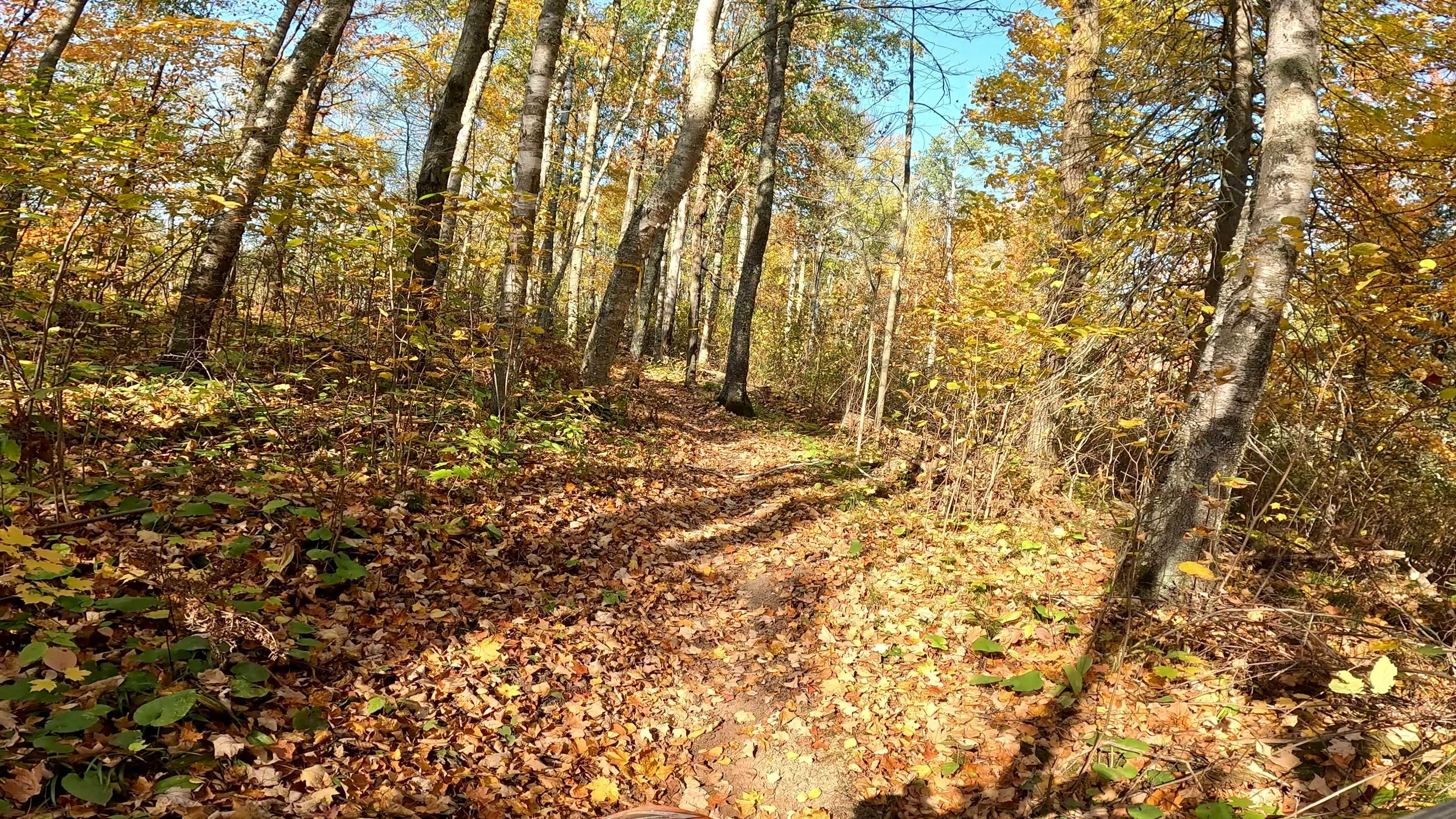
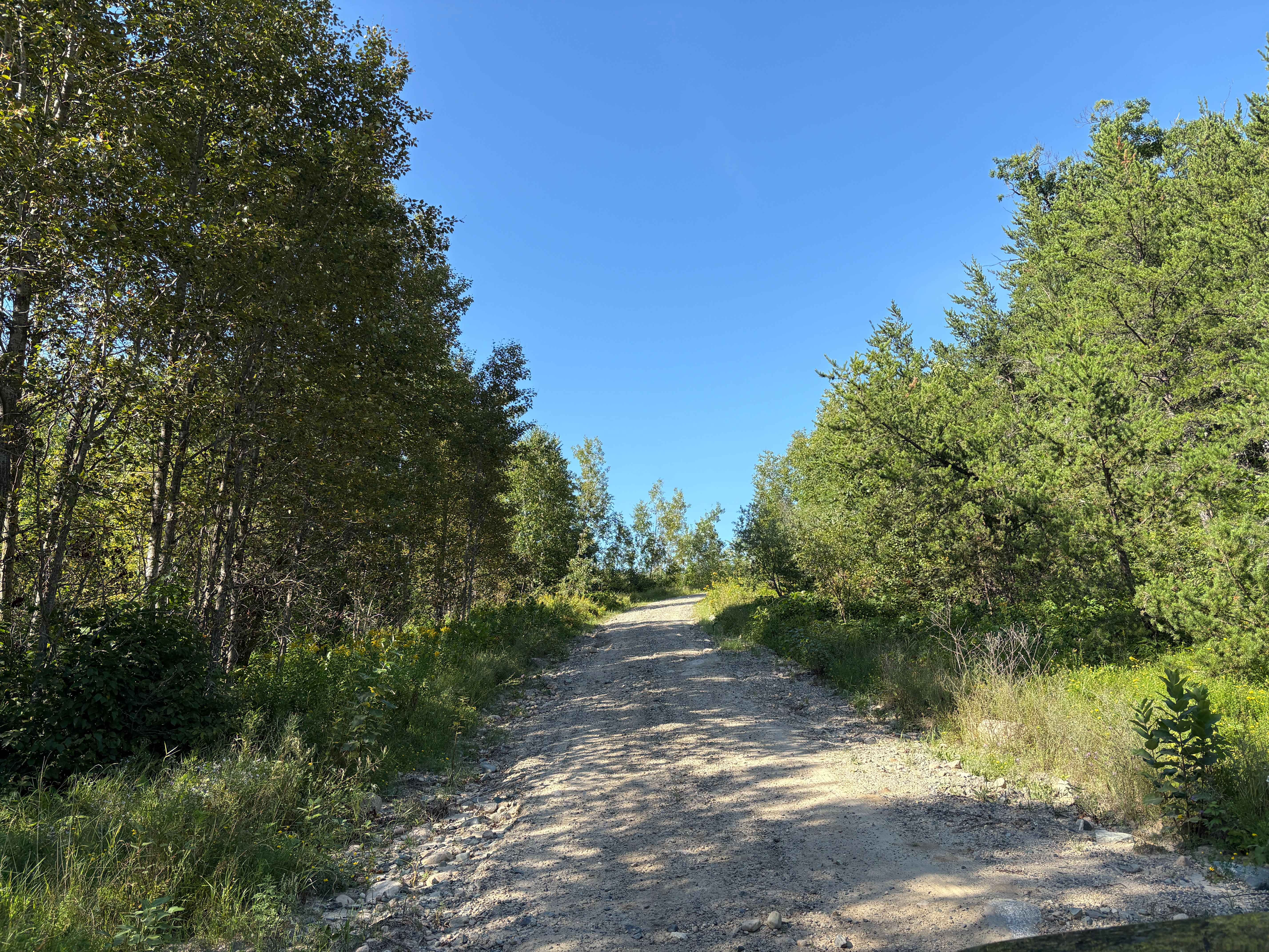
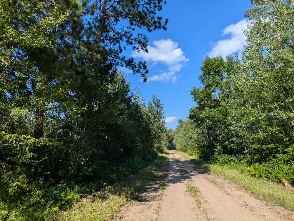
This trail is a long stretch of well-maintained red and brown gravel that winds through forested terrain. The surface is generally smooth, although there are occasional potholes and sections of corrugation, particularly on the inclines and descents. Drivers should remain cautious, as local traffic is common along the route. The trail passes through attractive woodland and maintains a steady, gentle rhythm as it approaches its endpoint. It terminates at the Sawbill Campground and the offices of the Sawbill Lake Canoe Outfitters, where the parking lot was observed to be full even on a rainy midweek day in July. At the end of the trail, there is access to the lake as well as basic services provided at the National Forest campground. These facilities are available only to registered campers. While the area is popular with visitors, particularly those entering the Boundary Waters, the trail itself remains relatively quiet and is easy to navigate.
Photos of Sawbill Trail


Difficulty
This forest trail is well-maintained and used daily by residents and adventurers. The route is wide and clear of debris, with established tread and minimal overgrowth--ideal for a smooth and scenic drive or hike.
Status Reports
Sawbill Trail can be accessed by the following ride types:
- High-Clearance 4x4
- SUV
Sawbill Trail Map
Popular Trails
Tamarack Straight Arrow Blue Trail

Anchor Mattson Road
The onX Offroad Difference
onX Offroad combines trail photos, descriptions, difficulty ratings, width restrictions, seasonality, and more in a user-friendly interface. Available on all devices, with offline access and full compatibility with CarPlay and Android Auto. Discover what you’re missing today!