Ralph Road
Total Miles
4.2
Technical Rating
Best Time
Spring, Summer, Fall, Winter
Trail Type
Full-Width Road
Accessible By
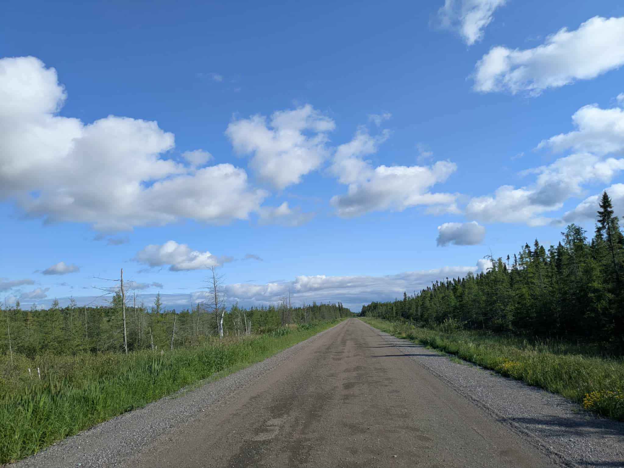
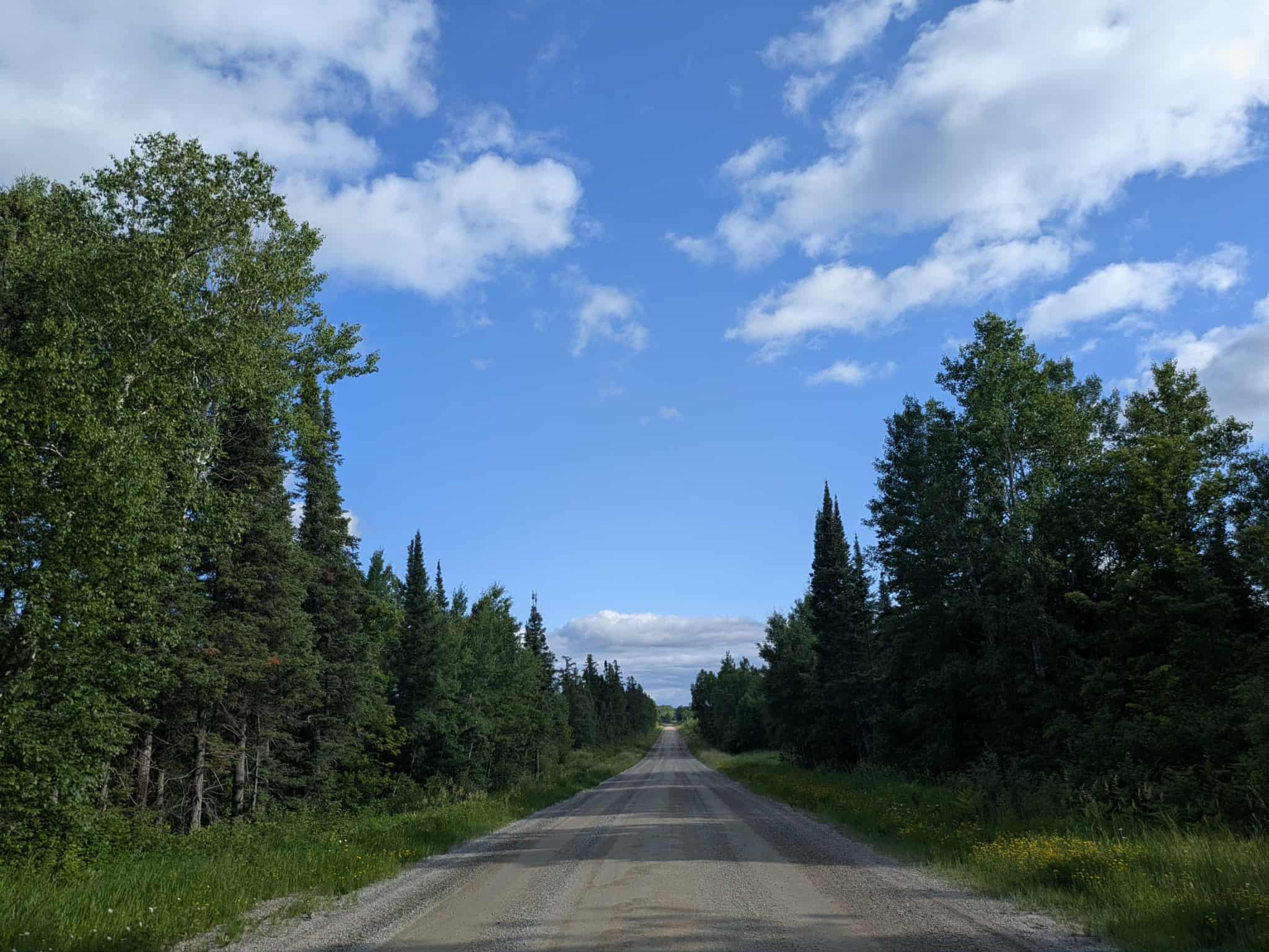
Trail Overview
This trail follows a relatively long, well-maintained gravel road that offers a steady and enjoyable drive through a mix of forest and open fields. While the surface is generally in good condition, drivers should expect some bumps and corrugations, especially near the beginning of the route, which starts in the north at the LaCroix Ranger Station, which has a picnic area and an interpretive hiking trail. Along the way, you'll pass by scattered residences as well as a small airstrip set in a clearing, giving the area a unique and somewhat unexpected landmark. Several smaller trails branch off from the main route, inviting exploration, though not all are accessible. At the far end of the main trail in the south, it runs dead into a private residence.
Photos of Ralph Road
Difficulty
This forest trail is well-maintained and used by residents and adventurers. The route is wide and clear of debris, with established tread and minimal overgrowth, making it ideal for a smooth and scenic drive.
Status Reports
Ralph Road can be accessed by the following ride types:
- High-Clearance 4x4
- SUV
Ralph Road Map
Popular Trails

Swartz Forest Road


Axle Trap Connector
The onX Offroad Difference
onX Offroad combines trail photos, descriptions, difficulty ratings, width restrictions, seasonality, and more in a user-friendly interface. Available on all devices, with offline access and full compatibility with CarPlay and Android Auto. Discover what you’re missing today!