Pinestraw
Total Miles
0.1
Technical Rating
Best Time
Spring, Summer, Fall
Trail Type
Full-Width Road
Accessible By
Trail Overview
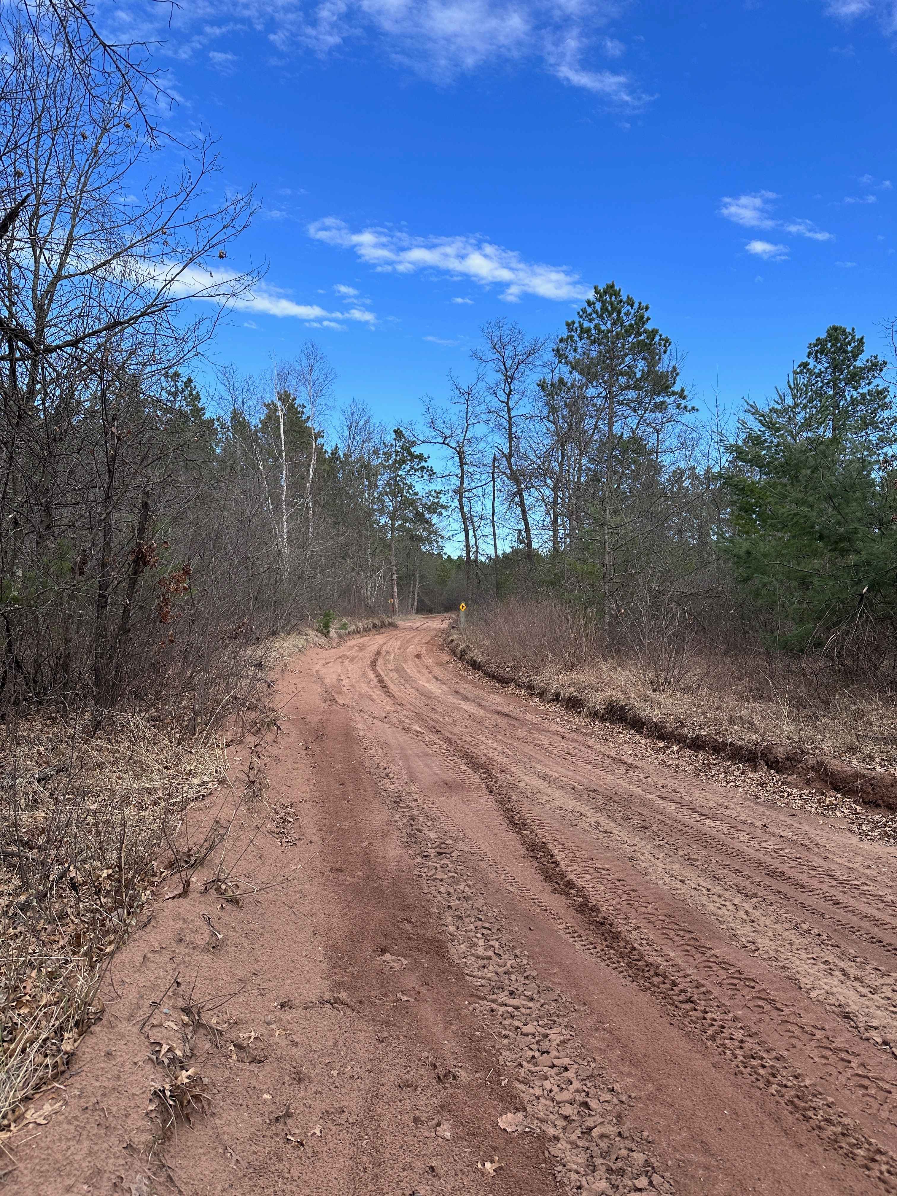
This trail winds through a wooded area and is somewhat narrow, making it better suited for smaller or more maneuverable vehicles. Due to the close proximity of trees and natural overgrowth, pinstriping is very likely, especially for wider rigs or full-size vehicles. The trail surface is mostly dirt, and while it may become muddy after recent rainfall, it generally maintains a firm base. Drivers should proceed with caution through tight corners and tree-lined stretches. Despite the tight path, there are no major rock obstacles, steep inclines, or technical challenges, making this a manageable and scenic trail for those seeking a peaceful forest route.
Photos of Pinestraw


Difficulty
This tight, tree-lined trail may cause pinstriping due to overgrowth. There are no major obstacles, but the narrow path requires attention--especially for wider rigs. Mud is possible after rainfall.
History
The Iron Range OHV Recreation Area was built on reclaimed mining land, once part of the rich Mesabi Iron Range that fueled U.S. steel production for over a century. Today, this 1,200+ acre site blends industrial history with outdoor adventure, offering a rare chance to ride through the remnants of Minnesota's mining legacy.
Status Reports
Pinestraw can be accessed by the following ride types:
- High-Clearance 4x4
- SUV
- SxS (60")
- ATV (50")
- Dirt Bike
Pinestraw Map
Popular Trails
Willow River North


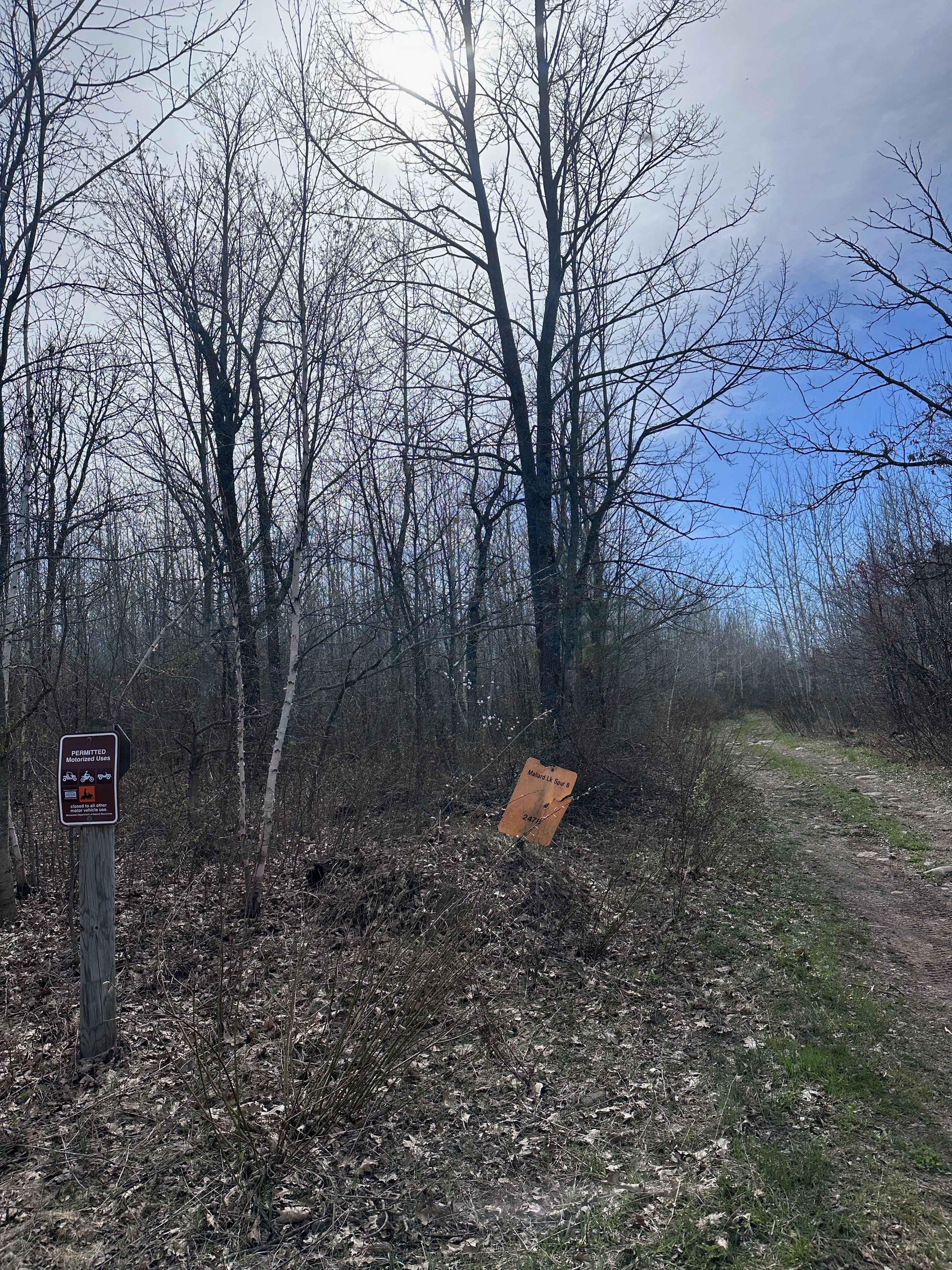
Mallard Lake Spur B
The onX Offroad Difference
onX Offroad combines trail photos, descriptions, difficulty ratings, width restrictions, seasonality, and more in a user-friendly interface. Available on all devices, with offline access and full compatibility with CarPlay and Android Auto. Discover what you’re missing today!