Penturan Road
Total Miles
3.0
Technical Rating
Best Time
Spring, Summer, Fall, Winter
Trail Type
Full-Width Road
Accessible By
Trail Overview
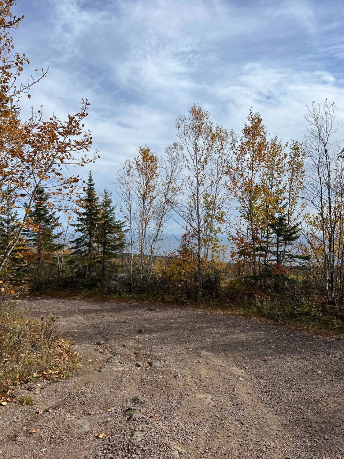
This single-vehicle-wide gravel trail is mostly flat and level, with a generally smooth surface interrupted by occasional bumps and potholes. It runs through scenic forest and intersects with Summer Forest Road, which provides access to a historic church. The route offers few clearings and only a small number of side trails branching off from the main path. As it continues, the trail gradually becomes very overgrown, limiting visibility and making navigation narrower toward the end. The route terminates at a closed boom gate, beyond which the road is restricted to vehicles weighing less than 2,000 pounds. The surrounding forest remains consistent along most of the trail, with limited open views and minimal development. There are no formal campsites along the route, and it lacks amenities such as trash disposal and a water supply. Cell service may be limited in this area, so preparation is recommended before traveling.
Photos of Penturan Road


Difficulty
The trail is maintained but can develop light overgrowth between trims, especially in the summer months. Commonly used by local OHV traffic, the path remains visible and passable, though branches and low brush may occasionally encroach.
Status Reports
Penturan Road can be accessed by the following ride types:
- High-Clearance 4x4
- SUV
- SxS (60")
- ATV (50")
- Dirt Bike
Penturan Road Map
Popular Trails
Temperance River Backroad Scenic Drive


Guard Rail Gulley

The onX Offroad Difference
onX Offroad combines trail photos, descriptions, difficulty ratings, width restrictions, seasonality, and more in a user-friendly interface. Available on all devices, with offline access and full compatibility with CarPlay and Android Auto. Discover what you’re missing today!