Cloquet Line
Total Miles
3.9
Technical Rating
Best Time
Fall, Winter, Spring, Summer
Trail Type
Full-Width Road
Accessible By
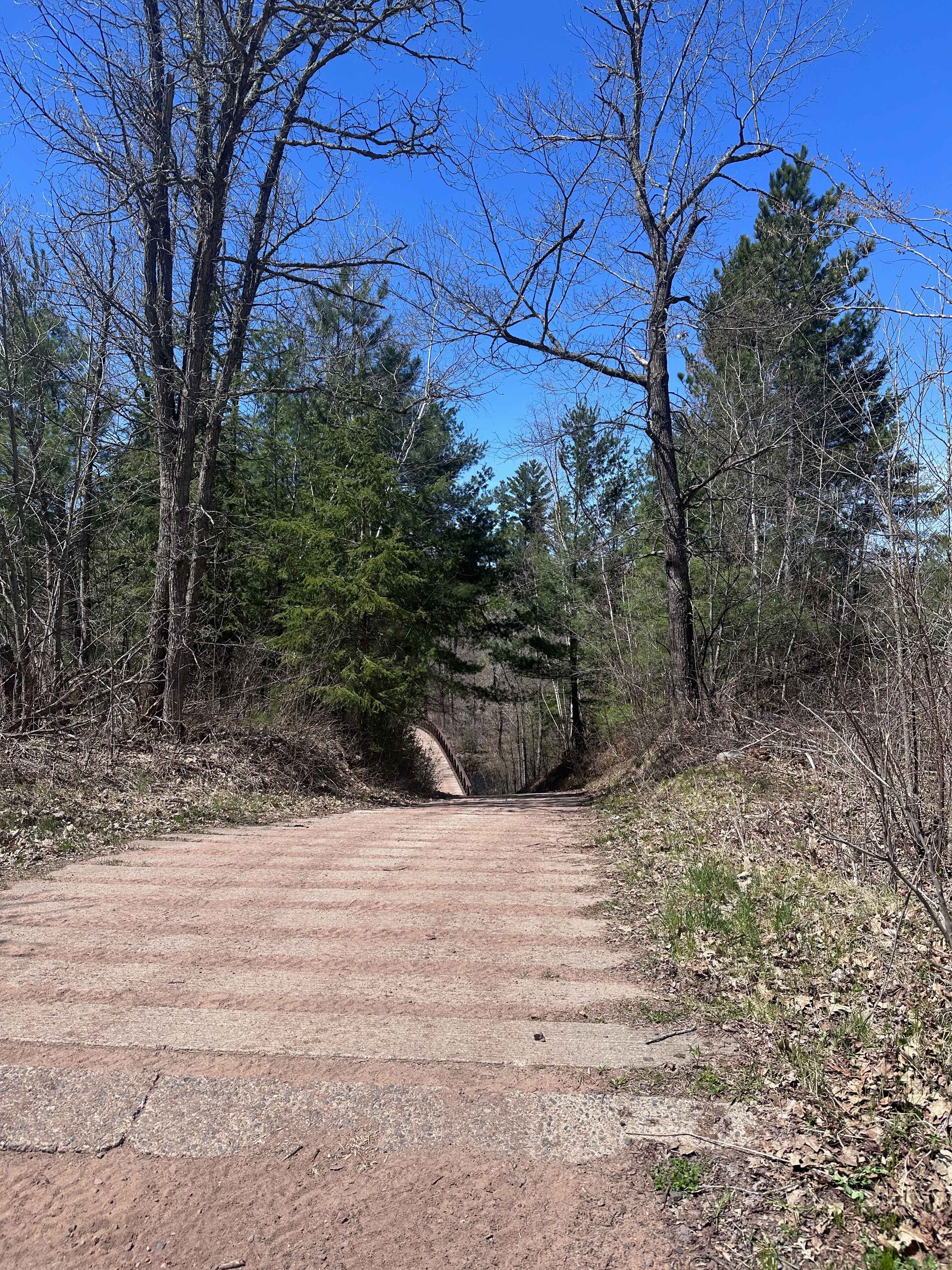
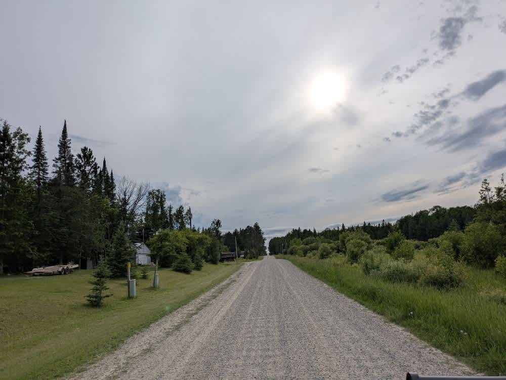
Trail Overview
This trail begins as a wide, well-maintained gravel road that winds through a forested area and passes several private residences along the way. Drivers should remain alert for local traffic, particularly in the residential sections. While the main surface is generally in good condition, some stretches are rocky, uneven, and corrugated, which may make for a rougher ride in certain areas. The trail leads to a public water access point, which serves as a turnaround for many visitors. Beyond this point, the road surface begins to deteriorate noticeably and transitions into a more rugged forest road that may be less suitable for standard vehicles. Despite its accessibility and scenic surroundings, the trail does not provide any formal or dispersed camping opportunities. There are no facilities such as trash bins or potable water sources, and visitors should not rely on consistent cell phone reception while in the area.
Photos of Cloquet Line


Difficulty
This forest trail is well-maintained and used daily by residents and adventurers. The route is wide and clear of debris, with established tread and minimal overgrowth, making it ideal for a smooth and scenic drive.
Status Reports
Cloquet Line can be accessed by the following ride types:
- High-Clearance 4x4
- SUV
Cloquet Line Map
Popular Trails


Sauna Rocks
Grace Lake Trail
The onX Offroad Difference
onX Offroad combines trail photos, descriptions, difficulty ratings, width restrictions, seasonality, and more in a user-friendly interface. Available on all devices, with offline access and full compatibility with CarPlay and Android Auto. Discover what you’re missing today!