Paul Bunyan NW Loop Part 2
Total Miles
1.4
Technical Rating
Best Time
Summer, Fall, Spring
Trail Type
Single Track
Accessible By
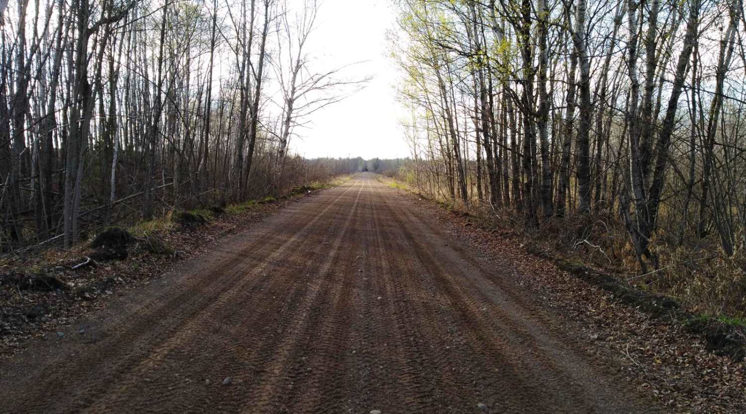
Trail Overview
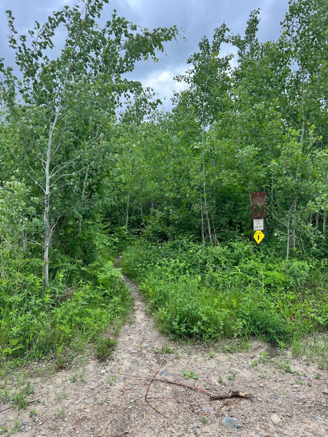
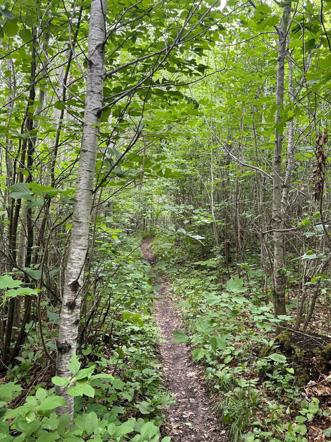
Similar to part 1 of this loop, the trail is very dense for the bulk of the route. You will not have great visibility of roots, rocks, and other small obstacles that fall onto the trail. There will also likely be low-hanging 0.5"-1" branches and tiny trees that bounce off your bike and helmet. This area clearly gets ridden much less and the trail shows. There are a few larger roots and rocks but nothing out of the ordinary for this trail system.
Photos of Paul Bunyan NW Loop Part 2
Difficulty
The trail has some larger roots and rocks.
Status Reports
Paul Bunyan NW Loop Part 2 can be accessed by the following ride types:
- Dirt Bike
Paul Bunyan NW Loop Part 2 Map
Popular Trails

Blind Lake Trail- West 106
Anchor Mattson Road
McGregor to Palisade
The onX Offroad Difference
onX Offroad combines trail photos, descriptions, difficulty ratings, width restrictions, seasonality, and more in a user-friendly interface. Available on all devices, with offline access and full compatibility with CarPlay and Android Auto. Discover what you’re missing today!