Osborn Road
Total Miles
9.3
Technical Rating
Best Time
Spring, Summer, Fall, Winter
Trail Type
Full-Width Road
Accessible By
Trail Overview
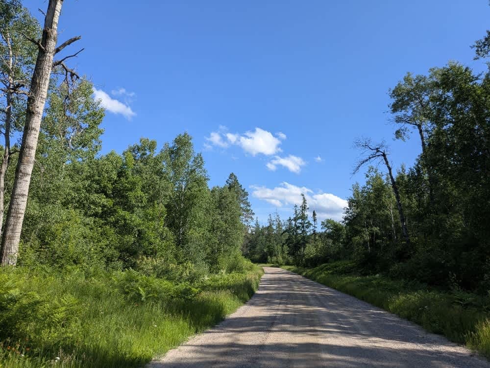
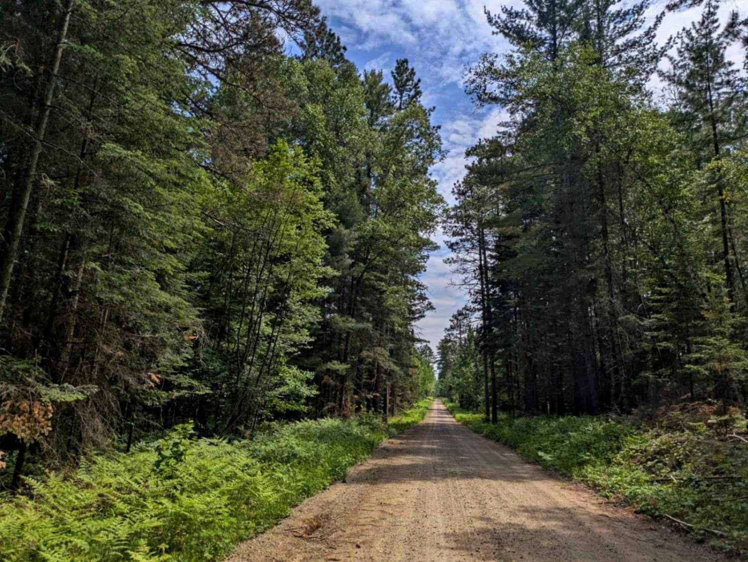
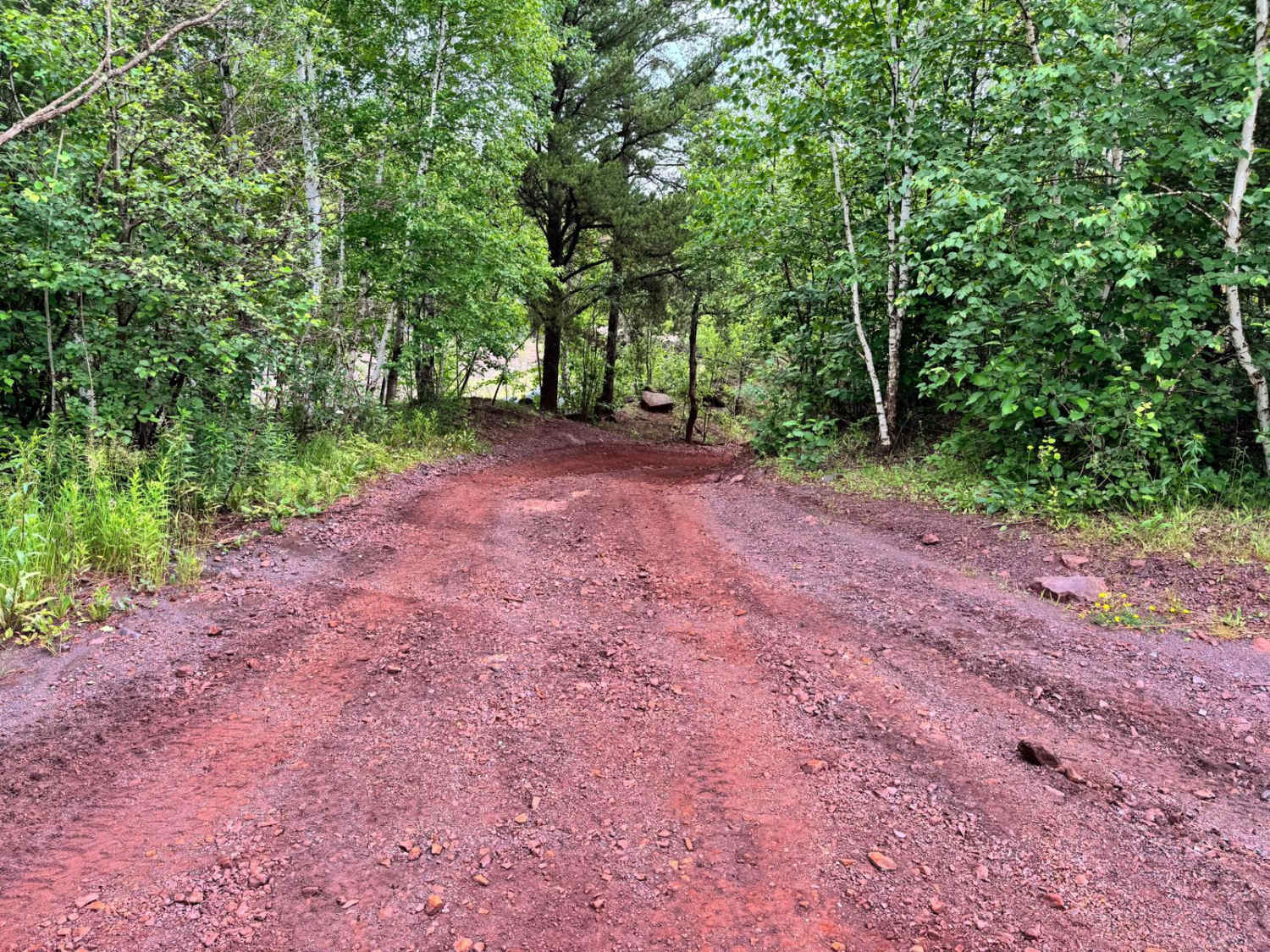
This trail is a long stretch of wide, well-maintained gravel road that remains mostly straight, though it includes a few gentle curves along with occasional ascents and descents and a few winding sections and crosses a large bridge over a scenic river. It offers a steady and manageable drive through a rural setting with limited residential presence. A number of smaller trails branch off from the main route--some are clearly maintained while others appear overgrown or unused. Several of these offshoots lead to private property and are blocked by closed gates, so caution and respect for land access rules are advised. The trail intersects with the Dark River South Trail, which connects to both the Dark River South hiking trail and the Taconite ATV and side-by-side trail. Eventually, the road connects with Dark Lake Road North, providing access to a boat launch. The trail also leads to the Chisolm ATV trail and the Side Lake ATV trail. Despite the length and condition of the route, there are no formal or dispersed campsites available, and travelers will not find amenities such as water, trash facilities, or reliable cell reception along the way.
Photos of Osborn Road

Difficulty
This trail is well-maintained and regularly used by other OHV riders, road users, including residents in the area.
History
Superior National Forest was established in 1909 by President Theodore Roosevelt to protect the region's watersheds and natural resources after years of heavy logging and mining. The area has long been home to the Ojibwe people, who continue to maintain cultural ties to the land. In 1978, the Boundary Waters Canoe Area Wilderness within the forest was designated as a wilderness area, receiving added protection and becoming one of the most visited wilderness areas in the U.S. today.
Status Reports
Osborn Road can be accessed by the following ride types:
- High-Clearance 4x4
- SUV
Osborn Road Map
Popular Trails

FS 791 Spur
County Road 335

Boulder Alley
The onX Offroad Difference
onX Offroad combines trail photos, descriptions, difficulty ratings, width restrictions, seasonality, and more in a user-friendly interface. Available on all devices, with offline access and full compatibility with CarPlay and Android Auto. Discover what you’re missing today!