Emily/Outing ATV A Trail
Total Miles
4.6
Technical Rating
Best Time
Spring, Summer, Fall
Trail Type
60" Trail
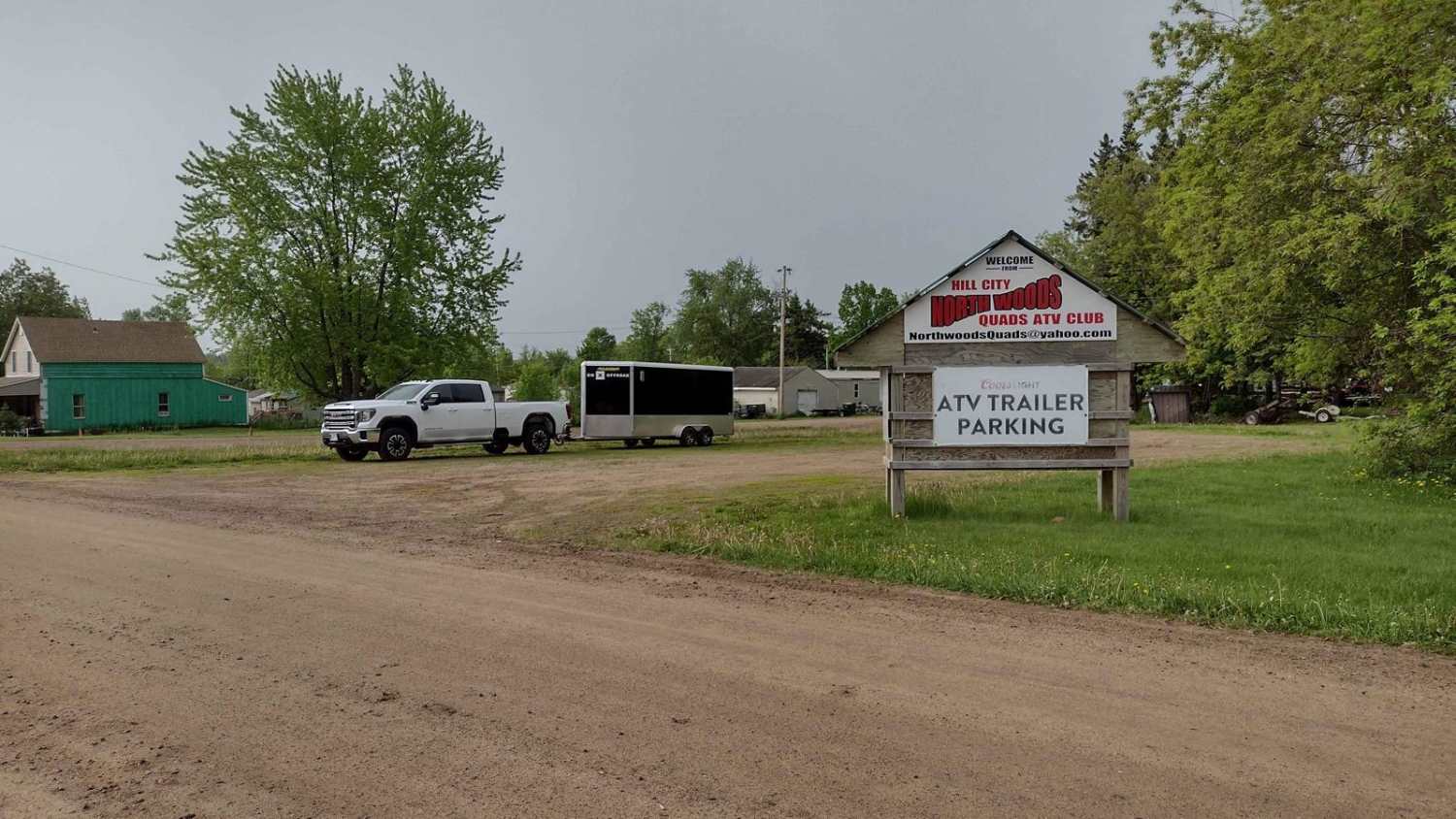
Accessible By
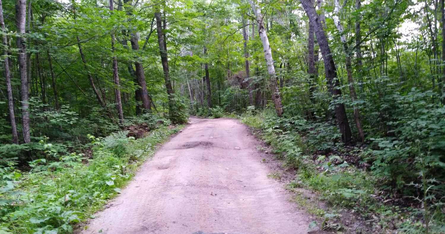
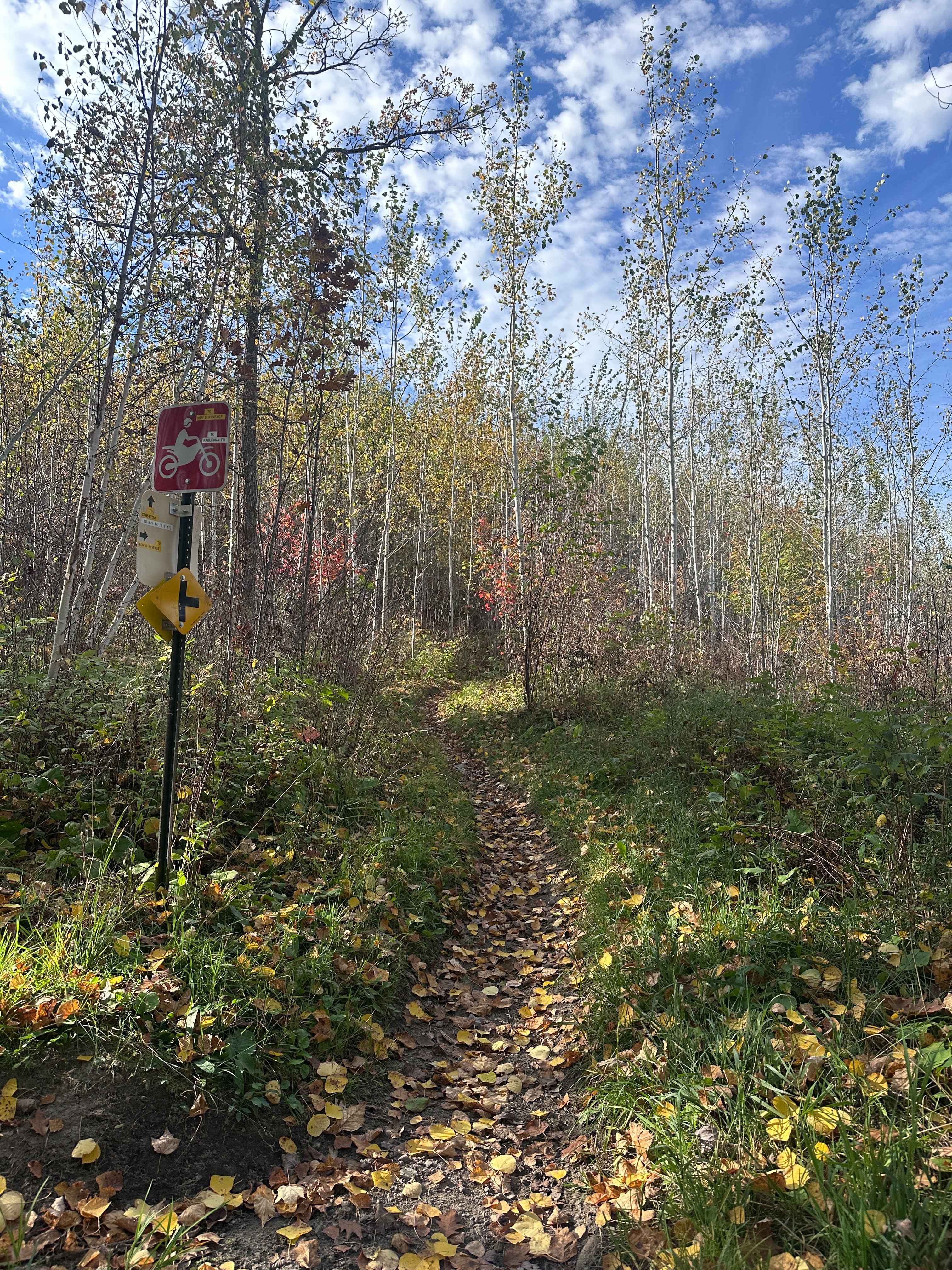
Trail Overview
Emily/Outing ATV A Trail is mapped from the B Trail to the Bloomquist Dr. ATV parking lot in Emily. This section is 4.9 miles long and takes about 22 minutes with average speed of 12.8 MPH including the time it took for trail pictures.
Photos of Emily/Outing ATV A Trail

Difficulty
Easy trail, some lowland areas have minor puddles but were no issue to cross when mapped. Trail width is the only reason for the difficulty rating of 2.
Status Reports
Emily/Outing ATV A Trail can be accessed by the following ride types:
- SxS (60")
- ATV (50")
Emily/Outing ATV A Trail Map
Popular Trails
Hill City to Washburn Lake

Pitt Grade Forest Trail

Remer to Boy River
The onX Offroad Difference
onX Offroad combines trail photos, descriptions, difficulty ratings, width restrictions, seasonality, and more in a user-friendly interface. Available on all devices, with offline access and full compatibility with CarPlay and Android Auto. Discover what you’re missing today!