Johnson Road
Total Miles
2.7
Technical Rating
Best Time
Winter, Fall, Spring, Summer
Trail Type
Full-Width Road
Accessible By
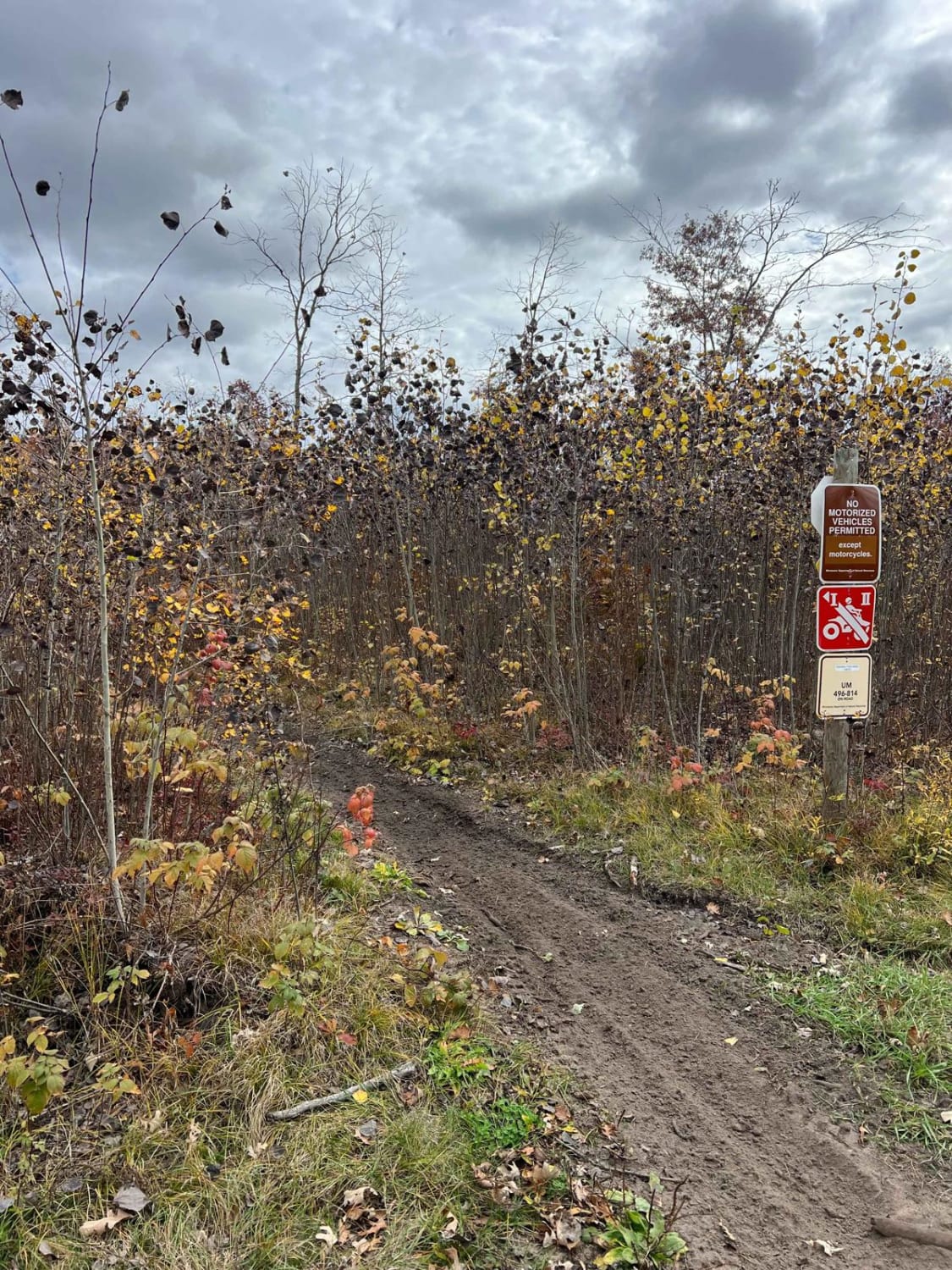
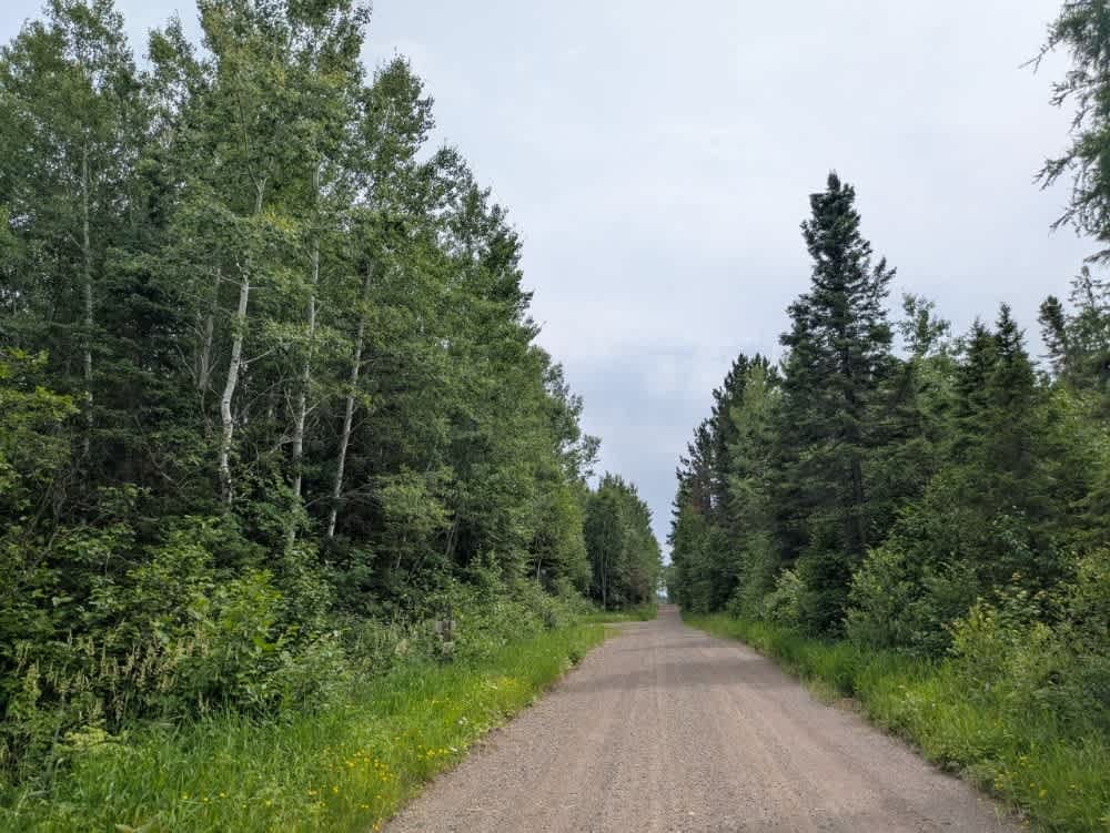
Trail Overview
This trail is mostly wide and relatively well-graded, consisting of gravel with extended sections of sand throughout. In some areas, the sand becomes quite deep, which may cause vehicles to feel unstable, especially at higher speeds or without four-wheel drive. The route passes through areas with active logging operations, so drivers should remain alert for trucks and equipment. As the trail continues, it features a few ascents and descents before nearing a residential area. The trail approaches Highway 73, where traffic tends to move quickly. Wildlife is present in the area, and a bear was observed near this section of the trail, so caution is advised. There are no formal or dispersed campsites along the route, and amenities such as potable water and trash disposal are not available. Cell phone service may be inconsistent or unavailable, so it is best to be prepared with offline maps and basic supplies.
Photos of Johnson Road


Difficulty
This trail is maintained and regularly used by OHV users, so be cautious of other off-roaders and adventurers.
Status Reports
Johnson Road can be accessed by the following ride types:
- High-Clearance 4x4
- SUV
- SxS (60")
- ATV (50")
Johnson Road Map
Popular Trails

Loon Lake Road

Huntersville Western Loop Parking Lot Jaunt
The onX Offroad Difference
onX Offroad combines trail photos, descriptions, difficulty ratings, width restrictions, seasonality, and more in a user-friendly interface. Available on all devices, with offline access and full compatibility with CarPlay and Android Auto. Discover what you’re missing today!