Jack the Horse Road
Total Miles
1.5
Technical Rating
Best Time
Spring, Summer, Fall, Winter
Trail Type
Full-Width Road
Accessible By
Trail Overview
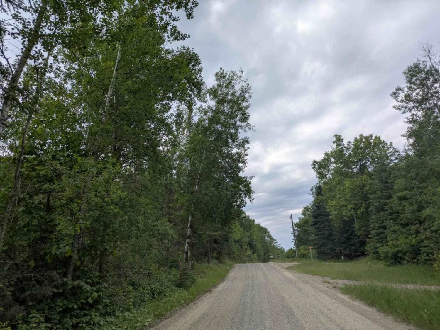
This trail is a wide, well-maintained gravel road that runs alongside a lake and passes several family homes. Drivers should keep speeds low, as children may be playing near the road. On the western end, the trail connects to the Timber Wolf Inn and links up with a dedicated snowmobile and ATV route. There are no formal or dispersed campsites along the trail, and it does not provide basic amenities such as trash disposal or access to water. Cell phone service may be unreliable in some areas.
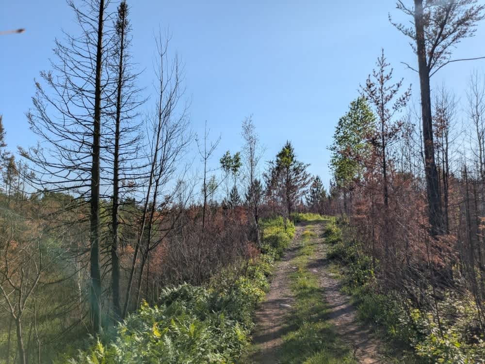
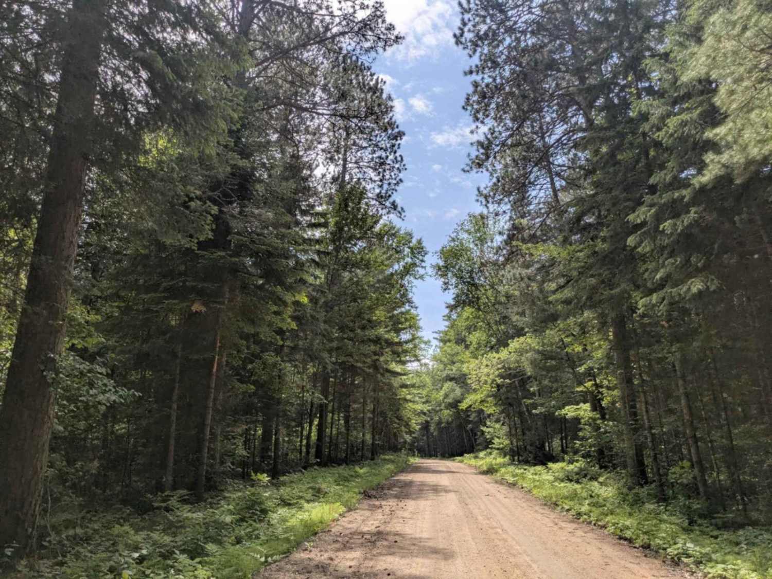
Photos of Jack the Horse Road

Difficulty
This trail is well-maintained and regularly used by other OHV riders, road users, including residents in the area.
History
Covering more than 1.6 million acres of glacial lakes, red-pine uplands, and sphagnum bogs, Minnesota's Chippewa National Forest lets motorists experience the North Woods at an unrushed pace. Paved state highways soon yield to a lattice of numbered forest roads, most of them well-graded gravel that thread between kettle ponds and stands of towering white pine, the tree that helped earn the forest its 1908 designation as one of America's first national forests. The forest harbors one of the highest breeding densities of bald eagles in the continental United States, and patient drivers often glimpse loons, black bears, and white-tailed deer as they move from shoreline to clear-cut regrowth and back again.
Status Reports
Jack the Horse Road can be accessed by the following ride types:
- High-Clearance 4x4
- SUV
Jack the Horse Road Map
Popular Trails
Murphy Lake


The onX Offroad Difference
onX Offroad combines trail photos, descriptions, difficulty ratings, width restrictions, seasonality, and more in a user-friendly interface. Available on all devices, with offline access and full compatibility with CarPlay and Android Auto. Discover what you’re missing today!