Highway 2 Ditch Trail 5.4
Total Miles
5.3
Technical Rating
Best Time
Spring, Summer, Fall
Trail Type
60" Trail
Accessible By
Trail Overview
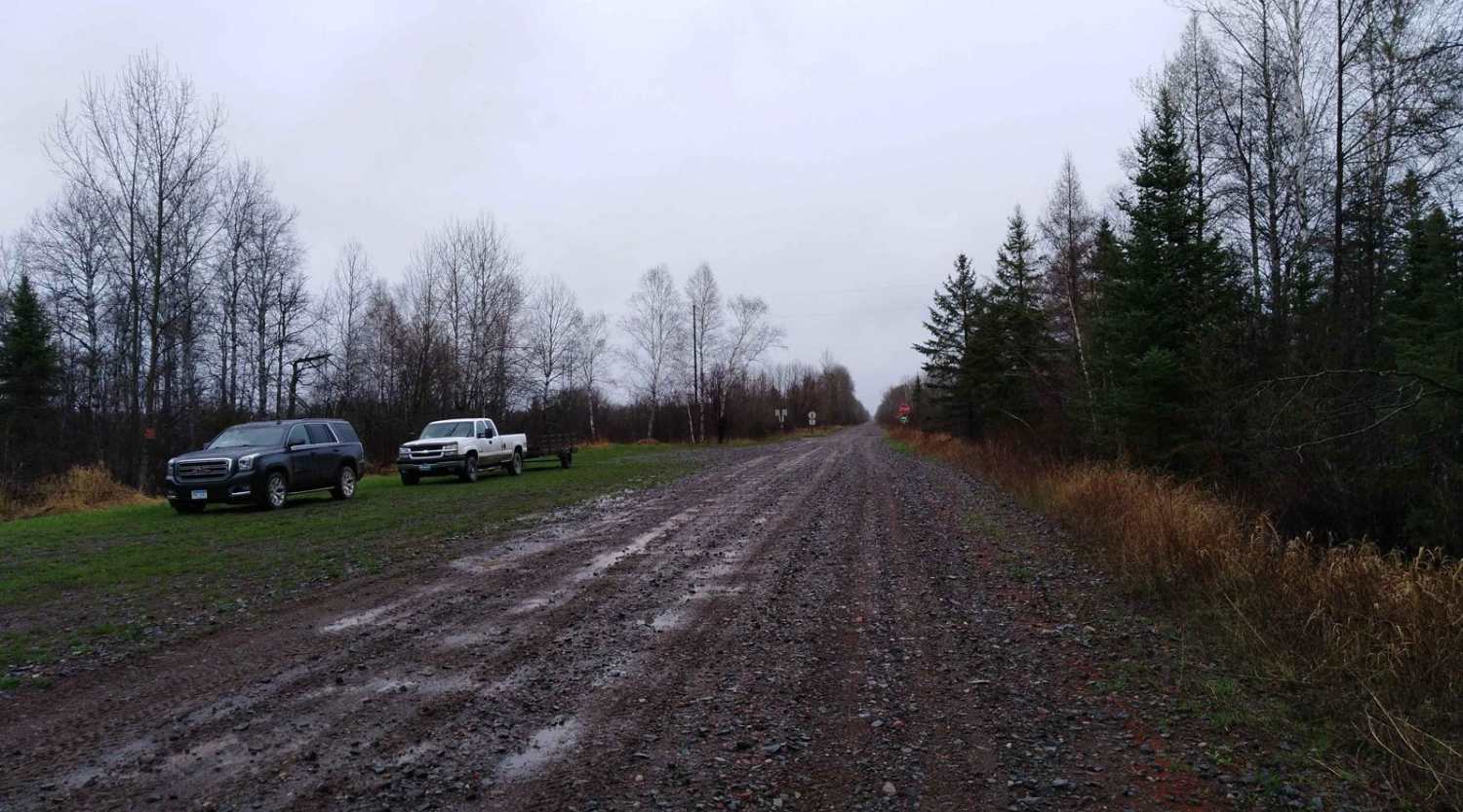
Highway 2 Ditch Trail between Nevis and where Hubbard County Road 2 turns west just south of Paul Bunyan State Forest. This section of trail runs along both sides of County Road 2 once you get out of the Nevis City Limits. This section of trail is 5.4 miles long and takes about 18 minutes at an average speed of about 17.4 MPH. Very easy to follow, please be aware of residential areas and keep speeds low for safety and reducing dust and noise. Gas and food are available in Nevis just off the trail route through town.
Photos of Highway 2 Ditch Trail 5.4


Difficulty
The trail rating of 1 is for the narrow width, one SxS width but plenty of room to the side of the trail when meeting others. Some road crossings and driveways are steep so use caution and be alert for other traffic. Mix of both yield and stop signs when the trail crosses other roadways. Most are at an incline so remember to keep your distance when following others to give them some room to get started uphill from a stop.
Status Reports
Highway 2 Ditch Trail 5.4 can be accessed by the following ride types:
- SxS (60")
- ATV (50")
Highway 2 Ditch Trail 5.4 Map
Popular Trails
Nemadji to County Road 3


Double Trouble
The onX Offroad Difference
onX Offroad combines trail photos, descriptions, difficulty ratings, width restrictions, seasonality, and more in a user-friendly interface. Available on all devices, with offline access and full compatibility with CarPlay and Android Auto. Discover what you’re missing today!