Hatchet
Total Miles
4.1
Technical Rating
Best Time
Spring, Summer, Fall, Winter
Trail Type
Full-Width Road
Accessible By
Trail Overview
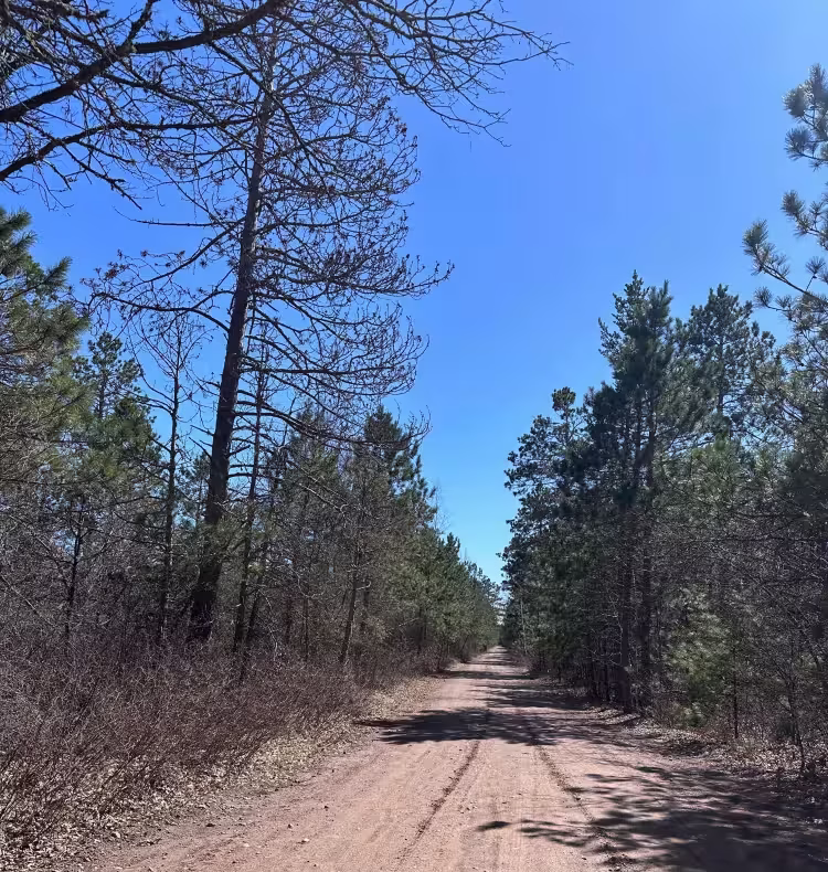
This scenic trail begins from Dunka River Road and starts out as a wide, well-maintained gravel route. Early along the trail, it passes an old quarry that appears to be a popular gathering and camping area for local off-road enthusiasts. The space is open, with ample room for dispersed camping and readily available firewood. After passing a second quarry, the trail changes character significantly. It narrows quickly and becomes heavily overgrown, making pinstriping likely for wider vehicles. The remainder of the trail winds through dense forest with a mix of ascents and descents. The surface becomes rocky and uneven, with frequent potholes, muddy sections, and several creek crossings. It continues through this rugged terrain until reaching an intersection that connects back to New Tomahawk Trail. Given its tight clearances and rough conditions, this route is best suited to compact four-wheel drives, ATVs, and side-by-sides. There are no formal campsites or services along the way, and travelers should not expect trash disposal, drinking water, or reliable cell service.
Photos of Hatchet


Difficulty
The trail starts out well-maintained and frequently used, but it gradually becomes more overgrown and uneven, with a high chance of pinstriping.
Status Reports
Hatchet can be accessed by the following ride types:
- High-Clearance 4x4
- SUV
- SxS (60")
- ATV (50")
- Dirt Bike
Hatchet Map
Popular Trails
Dago Day Use - 0340D

Upper Red Hills East

Minnesota 34 Ditch Trail 6.1

440 Street NE
The onX Offroad Difference
onX Offroad combines trail photos, descriptions, difficulty ratings, width restrictions, seasonality, and more in a user-friendly interface. Available on all devices, with offline access and full compatibility with CarPlay and Android Auto. Discover what you’re missing today!