FS 3758
Total Miles
1.6
Technical Rating
Best Time
Spring, Summer, Fall
Trail Type
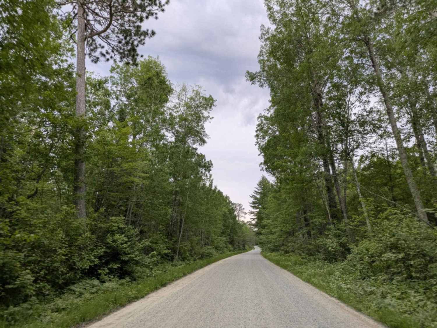
Full-Width Road
Accessible By
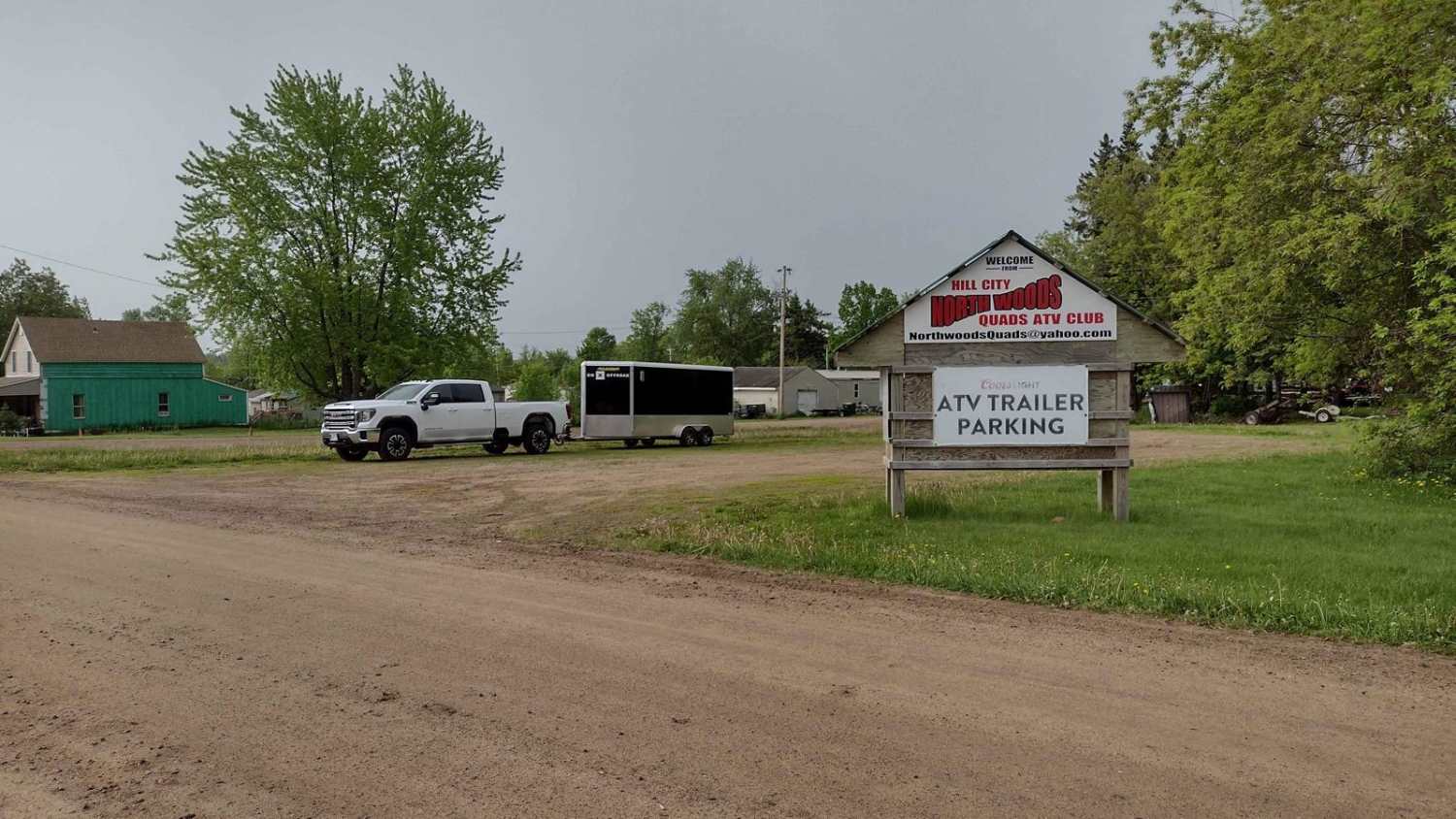
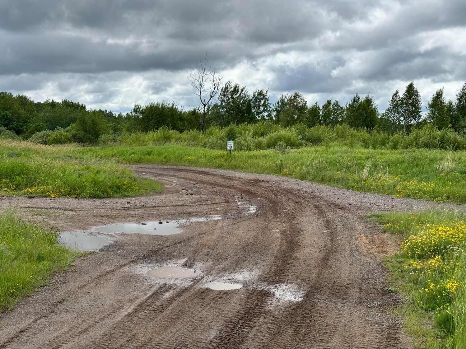
Trail Overview
This trail serves as the direct access route to the lakeside campsite and is mostly wide, smooth, and well-maintained. It leads to a campground with two loops, north and south, with the north loop offering the more desirable sites. The campground provides hand-pumped water and clean toilets, though there are no showers available. Cell phone reception is limited at the site, and due to the dense tree cover, Starlink connectivity is not possible.
Photos of FS 3758

Difficulty
This trail is well-maintained and regularly used by other OHV riders, road users, including residents in the area.
History
Covering more than 1.6 million acres of glacial lakes, red-pine uplands, and sphagnum bogs, Minnesota's Chippewa National Forest lets motorists experience the North Woods at an unrushed pace. Paved state highways soon yield to a lattice of numbered forest roads, most of them well-graded gravel that thread between kettle ponds and stands of towering white pine, the tree that helped earn the forest its 1908 designation as one of America's first national forests. The forest harbors one of the highest breeding densities of bald eagles in the continental United States, and patient drivers often glimpse loons, black bears, and white-tailed deer as they move from shoreline to clear-cut regrowth and back again.
Status Reports
FS 3758 can be accessed by the following ride types:
- High-Clearance 4x4
- SUV
FS 3758 Map
Popular Trails
Hill City to Washburn Lake

Johnson Lake

Brule Lake Road
The onX Offroad Difference
onX Offroad combines trail photos, descriptions, difficulty ratings, width restrictions, seasonality, and more in a user-friendly interface. Available on all devices, with offline access and full compatibility with CarPlay and Android Auto. Discover what you’re missing today!