FS 2108
Total Miles
5.8
Technical Rating
Best Time
Spring, Summer, Fall, Winter
Trail Type
Full-Width Road
Accessible By
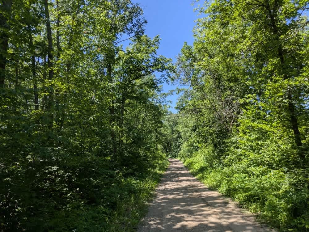
Trail Overview
This trail begins as a well-maintained gravel road branching off from a paved route, but quickly narrows and becomes rougher as it winds south through a forested area. The trail is unmaintained for most of its length and features a mix of sandy and limited rocky surfaces, with noticeable water damage in some spots. Deep potholes and stretches of surface mud make this route more challenging than others nearby, and it's best suited to high-clearance vehicles. Drivers should be prepared for ascents and descents as the trail meanders through dense and scenic woodland. A few spur roads branch off the main trail, including one that leads to a cell tower and another that provides access to a lake with a boat launch. A posted sign advises keeping to the right and warns of oncoming traffic, which can be expected more frequently on weekends. There are no formal or dispersed campsites along the trail, and there are no facilities for trash disposal or water. Cell service may be limited.
Photos of FS 2108

Difficulty
This trail is not maintained and is not regularly used by other users. The trail may be overgrown and unused, with debris on the trail.
Status Reports
FS 2108 can be accessed by the following ride types:
- High-Clearance 4x4
- SUV
FS 2108 Map
Popular Trails


Kawishiwi Lake

South of Outing on the A Trail

Upper Quartz Loop
The onX Offroad Difference
onX Offroad combines trail photos, descriptions, difficulty ratings, width restrictions, seasonality, and more in a user-friendly interface. Available on all devices, with offline access and full compatibility with CarPlay and Android Auto. Discover what you’re missing today!