FS 2102
Total Miles
3.2
Technical Rating
Best Time
Summer, Winter, Fall, Spring
Trail Type
Full-Width Road
Accessible By
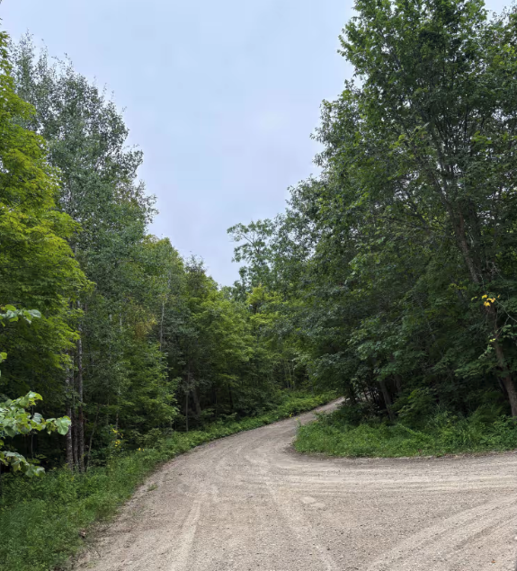
Trail Overview
This trail winds through a densely wooded area and is divided into two distinct sections. The first half is well-maintained and provides a smooth drive through the forest, passing a number of attractive homes along the way. The second half is designated as "unmaintained" and reflects that status with a noticeably rougher condition. This portion of the trail is narrower, with a mix of mud, sand, and large puddles, along with debris from severe June storms. The thick tree cover creates a consistently shaded environment, and several smaller trails branch off into the forest. The trail eventually leads to a railway crossing and then emerges onto Highway 2. There are no formal or dispersed campsites along the route, and it lacks amenities such as trash disposal and drinking water. Cell service may be limited or unreliable in this area.
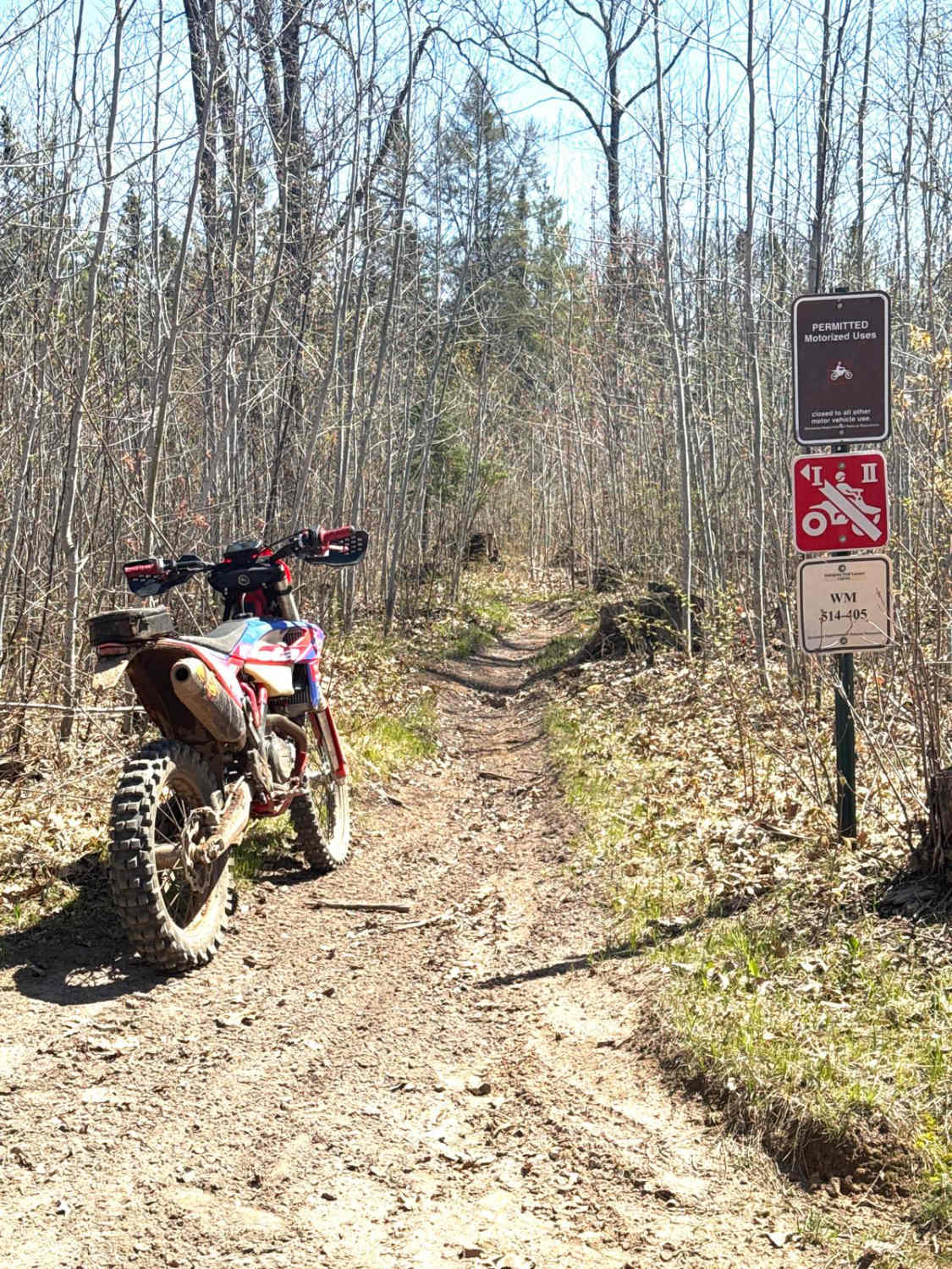
Photos of FS 2102


Difficulty
This trail is not maintained but is regularly used by other OHV users. This trail may be overgrown with potholes or ruts when not in regular use.
Status Reports
FS 2102 can be accessed by the following ride types:
- High-Clearance 4x4
- SUV
- SxS (60")
- ATV (50")
FS 2102 Map
Popular Trails

Cranberry Lake
Waptus-Mckenzie Lake Road

Emily - Blind Lake Trail - West 106
The onX Offroad Difference
onX Offroad combines trail photos, descriptions, difficulty ratings, width restrictions, seasonality, and more in a user-friendly interface. Available on all devices, with offline access and full compatibility with CarPlay and Android Auto. Discover what you’re missing today!