Forest Service Road 379
Total Miles
5.7
Technical Rating
Best Time
Summer, Winter, Fall, Spring
Trail Type
Full-Width Road
Accessible By
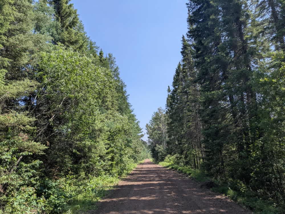
Trail Overview
Trail 379 is a long stretch of well-maintained gravel and red dirt road that cuts through a mix of forest and wetland. The trail is built up significantly above the surrounding terrain, providing elevated views of the landscape but also requiring careful driving. Edges can be soft in places, and slipping off the raised roadway could have serious consequences, especially during or after heavy rain. The route is generally easy to drive, with a smooth surface and minimal obstacles, but caution is advised due to potential local traffic and the trail's narrow shoulders. The area is dotted with water features, adding to the trail's scenic character, especially where the road passes close to marshes or ponds. There are no developed campsites or services along Trail 379. Travelers will not find water sources, toilets, or trash disposal facilities along the route, and cell reception may be weak or unavailable. Dispersed camping is generally permitted in the Superior National Forest outside the Boundary Waters Canoe Area Wilderness.
Photos of Forest Service Road 379

Difficulty
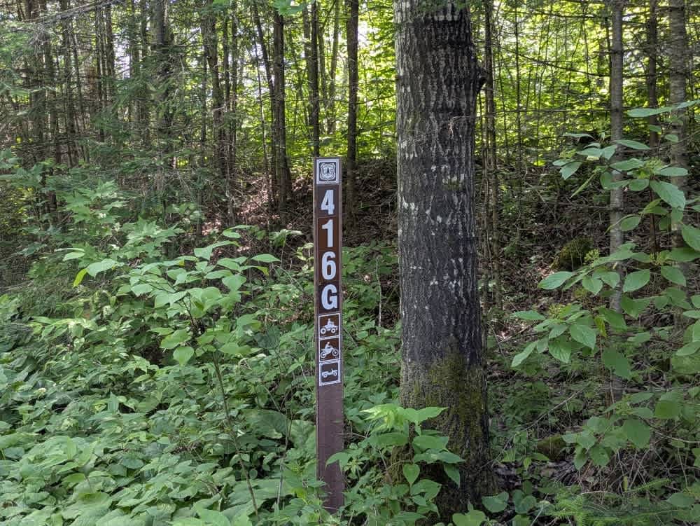
The trail is maintained but can develop light overgrowth between trims, especially in the summer months. Commonly used by local OHV traffic, the path remains visible and passable, though branches and low brush may occasionally encroach.
Status Reports
Forest Service Road 379 can be accessed by the following ride types:
- High-Clearance 4x4
- SUV
- SxS (60")
- ATV (50")
- Dirt Bike
Forest Service Road 379 Map
Popular Trails

Dmir Grade


Hungry Gulch Road
The onX Offroad Difference
onX Offroad combines trail photos, descriptions, difficulty ratings, width restrictions, seasonality, and more in a user-friendly interface. Available on all devices, with offline access and full compatibility with CarPlay and Android Auto. Discover what you’re missing today!