Cedar Lake Loop
Total Miles
9.8
Technical Rating
Best Time
Spring, Summer, Fall
Trail Type
60" Trail
Accessible By
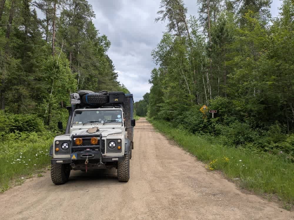
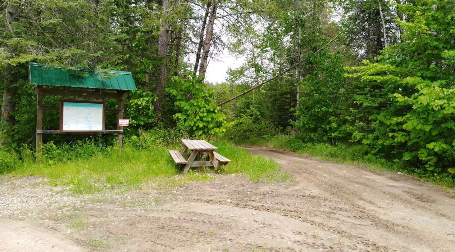
Trail Overview
Cedar Lake Loop which is part of the Moose River Trail system, is 10.2 miles long and takes just over an hour at an average of 8.6 MPH. Time and distance are only for the "entire loop" so remember to add time and distance to your final destination. The entire Moose River Trail system is within the Land O' Lakes State Forest.
Photos of Cedar Lake Loop


Difficulty
This is an easy trail, some lowland areas have minor puddles that cross the entire trail but were no issue to cross when mapped. Trail width is the only reason for the difficulty rating of 3. (Note, if there was a "dry" bypass at water crossings, they were used during this map rating so if you take the water crossing they are likely deeper than 12". Water crossings without a bypass fit the rating and were not issued at the time the trail was rated)
Status Reports
Cedar Lake Loop can be accessed by the following ride types:
- SxS (60")
- ATV (50")
Cedar Lake Loop Map
Popular Trails

Sand River Spur E

Kane Lake Spur J
The onX Offroad Difference
onX Offroad combines trail photos, descriptions, difficulty ratings, width restrictions, seasonality, and more in a user-friendly interface. Available on all devices, with offline access and full compatibility with CarPlay and Android Auto. Discover what you’re missing today!