2958
Total Miles
2.6
Technical Rating
Best Time
Spring, Summer, Fall, Winter
Trail Type
Full-Width Road
Accessible By
Trail Overview
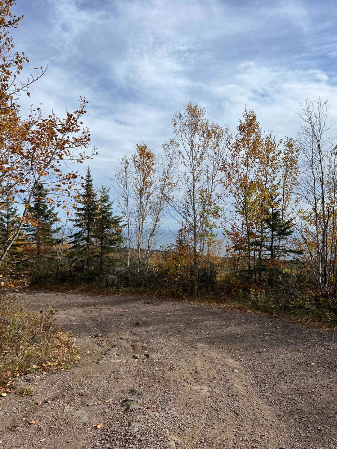
This trail is a scenic route surfaced with well-maintained gravel, although it can be wet in certain areas, depending on the conditions. It winds through stretches of forest, featuring gentle ascents and descents, making for a varied yet manageable drive. The width changes along the way, with some sections accommodating two vehicles and others narrowing to single-vehicle passage. At its endpoint, the main trail comes to an abrupt end at an intersection. The road to the right continues under a different name, while the track to the left is a narrow, overgrown two-track that can become very wet and difficult to navigate. The trail eventually leads to a rustic campsite and a parking area beside the lake, a spot well known among anglers and wild rice harvesters. The main trail itself does not include formal campsites, nor does it provide amenities such as trash disposal or water supply. Cell service is limited, so travelers should prepare accordingly before embarking on their journey.
Photos of 2958


Difficulty
The trail is maintained but can develop light overgrowth between trims, especially in the summer months. Commonly used by local OHV traffic, the path remains visible, passable, and easily accessible.
Status Reports
2958 can be accessed by the following ride types:
- High-Clearance 4x4
- SUV
- SxS (60")
- ATV (50")
- Dirt Bike
2958 Map
Popular Trails


Temperance River Backroad Scenic Drive

Stony Lookout
The onX Offroad Difference
onX Offroad combines trail photos, descriptions, difficulty ratings, width restrictions, seasonality, and more in a user-friendly interface. Available on all devices, with offline access and full compatibility with CarPlay and Android Auto. Discover what you’re missing today!