Trail SI Thayer
Total Miles
8.4
Technical Rating
Best Time
Spring, Fall, Summer
Trail Type
High-Clearance 4x4 Trail
Accessible By
Trail Overview
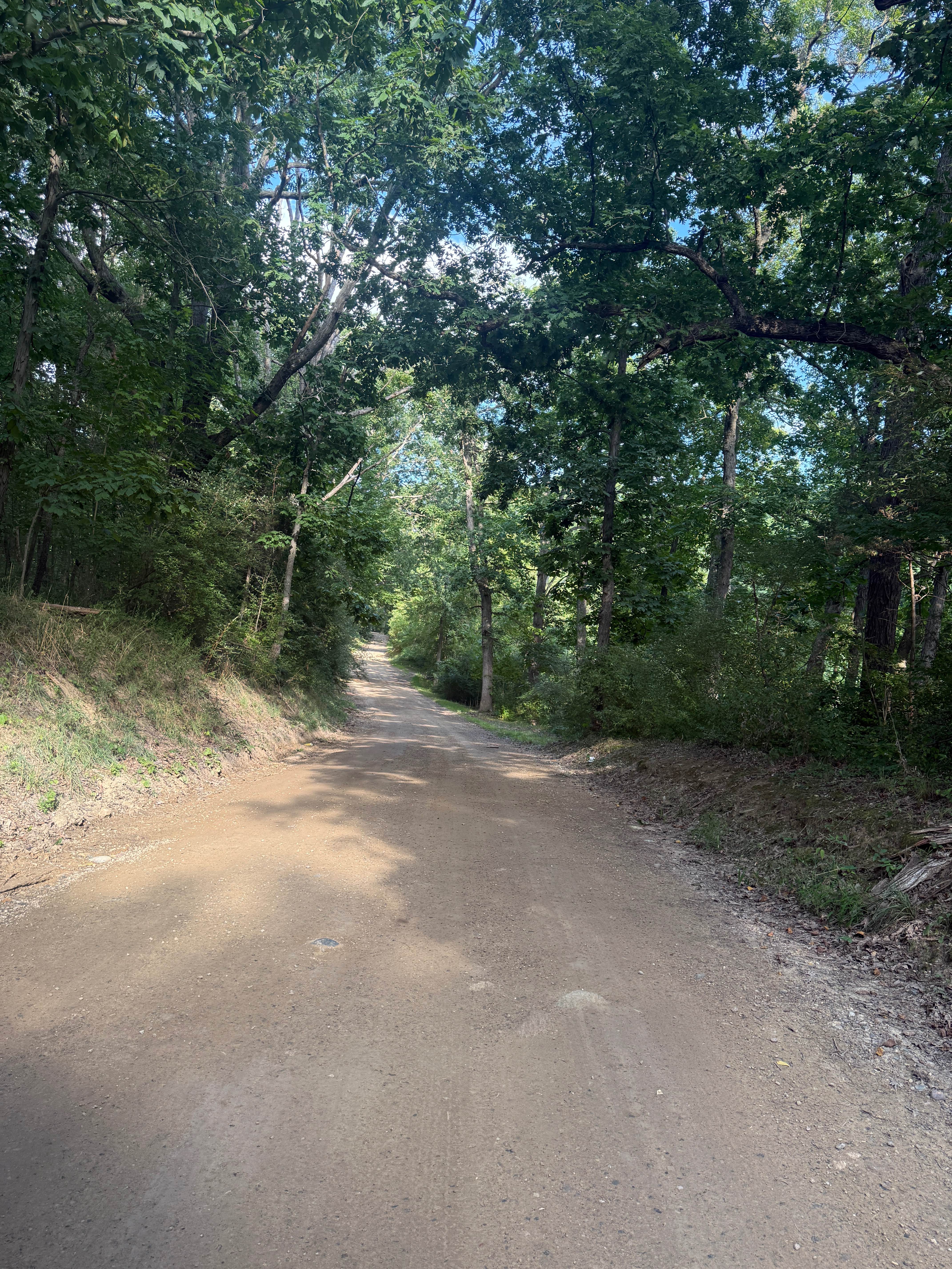
This Section of Trail SI is located in Gogebic County, Michigan. It begins at SI's intersection with Old US 2 West and ends to the east at its intersection with Old US 2 West, where the trail becomes paved for roughly 2 miles. This trail is an old converted railroad grade. The trail is just over one vehicle width wide for most of its length; however, some sections narrow up to one vehicle wide. The scenery along this trail is dense, mature forests. One of the most Iconic spots on this trail is the tunnel where the trail passes under US HWY 2. This portion of the trail is typically under water; however, the base of the trail is very solid. The surface on the rest of the trail consists of hard pack, as well as loose gravel. After recent rain, there will be water spots that will accumulate across the entire trail. These spots are can typically be avoided or easily crossed due to the dense red clay under the trail.
Photos of Trail SI Thayer


Difficulty
This trail can be completed by riders of all skill levels. Sight lines throughout the trail are poor to good. The trail is wide enough for two ATVs to easily pass each other. Anything wider than an ATV will need to slow down and possibly stop or pull over to allow vehicles to pass. The trail surface allows for good traction, but there are several spots where water holes will accumulate. The most consistent spot of water accumulation is the tunnel under Highway 2. These all have solid bases and can be easily driven through.
Status Reports
Trail SI Thayer can be accessed by the following ride types:
- High-Clearance 4x4
- SxS (60")
- ATV (50")
Trail SI Thayer Map
Popular Trails

Meadows M33 Trail
Doyle Trail

Cadillac Area ORV/OHV Scenic Ride - Part 6

25 Loop Trail
The onX Offroad Difference
onX Offroad combines trail photos, descriptions, difficulty ratings, width restrictions, seasonality, and more in a user-friendly interface. Available on all devices, with offline access and full compatibility with CarPlay and Android Auto. Discover what you’re missing today!