Doyle Trail
Total Miles
1.1
Technical Rating
Best Time
Spring, Summer, Fall, Winter
Trail Type
Full-Width Road
Accessible By
Trail Overview
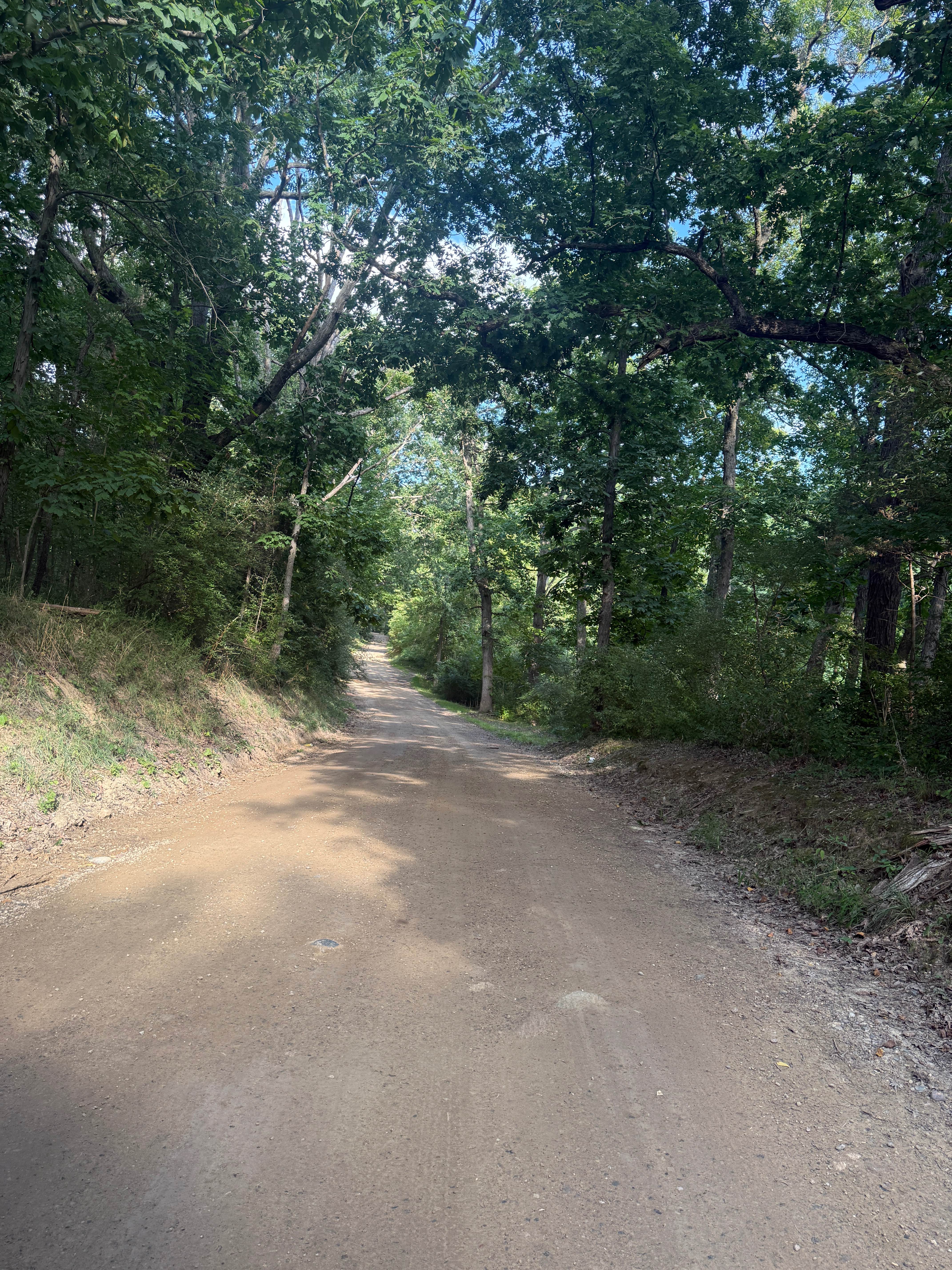
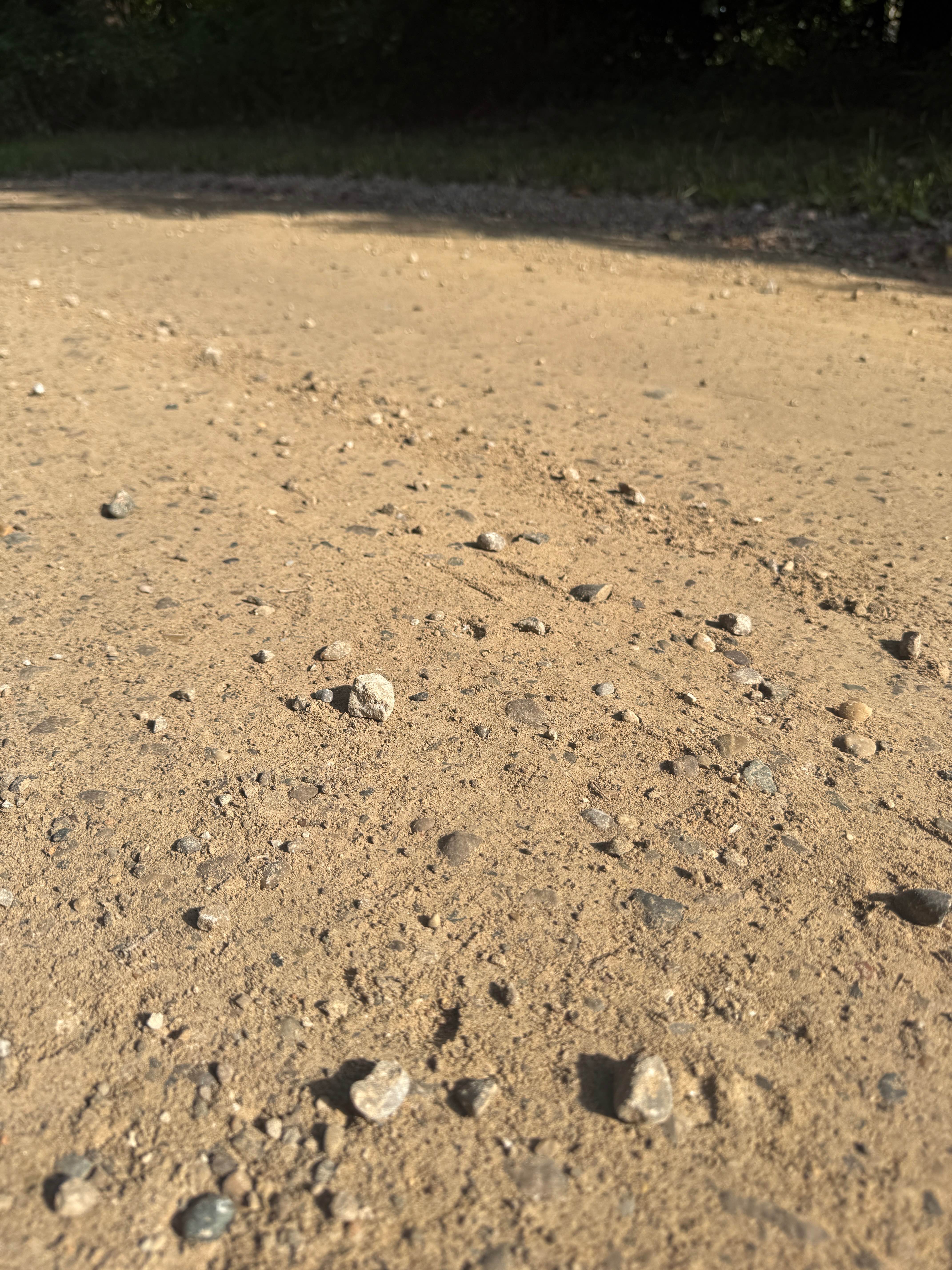
Doyle Trail is an easy bidirectional trail within the Pinckney State Recreation Area. Located off Patterson Lake Rd between highway 96 and 94, you'll find the west end of the trail, making it easily accessible. Starting from the western end, you'll begin on a mostly dirt road full of thick trees lining the route. Shortly into this track, the trail surface transitions into dirt/gravel, while the scenery switches to towering trees in a section of the forest with lush vegetation edging the trail. As you navigate down the trail, you'll make a few twists and turns. The Potawatomi hiking trail is also a big part of this trail if that is something that interests you. Be sure to take it all in and TREAD LIGHTLY so future generations can enjoy these public spaces. Also, keep your eyes open for wildlife! This trail will surely keep you entertained. Like most of Michigan's offroad trails, conditions are dependent on the weather. Recent rainfall can cause unfavorable conditions on the trail, including downed trees, mud holes, and washouts. Come Prepared! Most of this trail is wide enough for 2 vehicles, but there are limited places to pass. This is not a difficult trail at all, but it contains a lot of adventure. This trail also gives access to other great trails nearby. The eastern end of the trail meets up with Kelly Trail, so check that out afterwards! There are other trails off this route that lead to other nearby routes. Regardless of the conditions or length of this track, it's a great route to check out! As always, PLEASE TREAD LIGHTLY and be respectful of our public lands so future generations can have access to these trails!
Photos of Doyle Trail
Difficulty
The technical rating and difficulty were given a one because it's a dirt road with gentle grades. This trail is safe for all vehicle types and is two vehicles wide.
Status Reports
Doyle Trail can be accessed by the following ride types:
- High-Clearance 4x4
- SUV
Doyle Trail Map
Popular Trails


Ambrose Lake - Ogemaw Hills North
South Theils Road
The onX Offroad Difference
onX Offroad combines trail photos, descriptions, difficulty ratings, width restrictions, seasonality, and more in a user-friendly interface. Available on all devices, with offline access and full compatibility with CarPlay and Android Auto. Discover what you’re missing today!