Thede - FS 3222
Total Miles
1.6
Technical Rating
Best Time
Spring, Summer, Fall
Trail Type
Full-Width Road
Accessible By
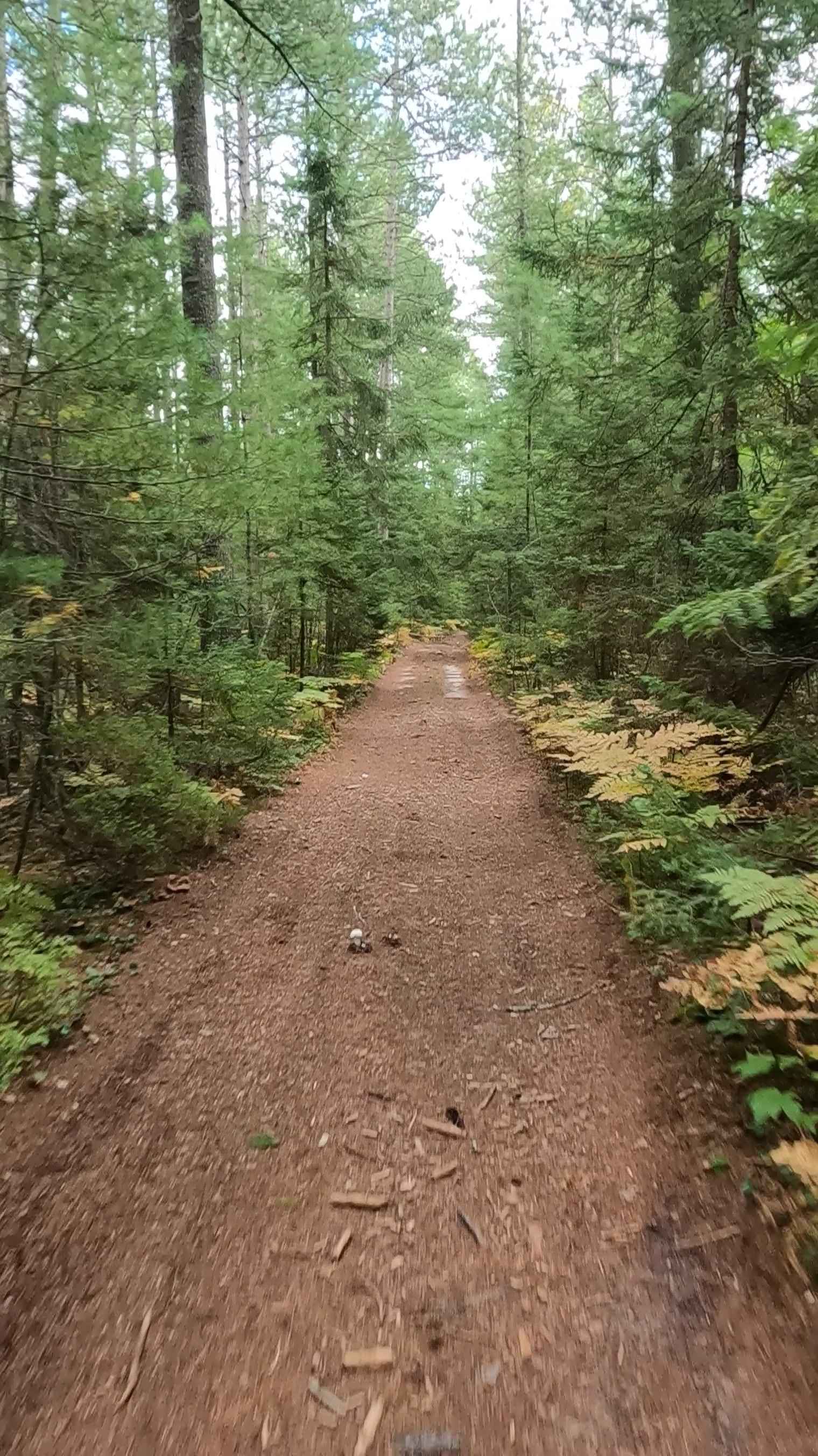
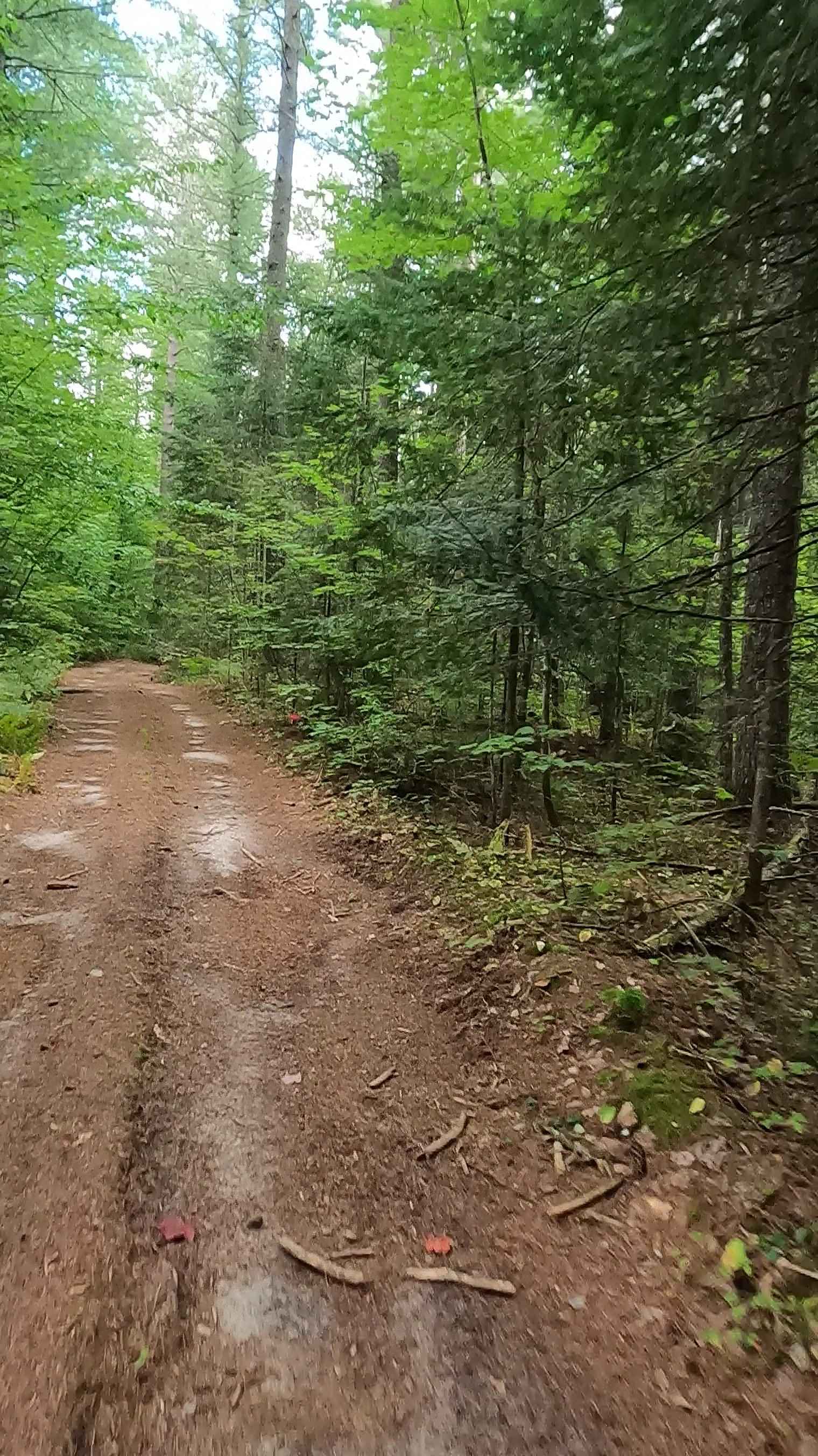
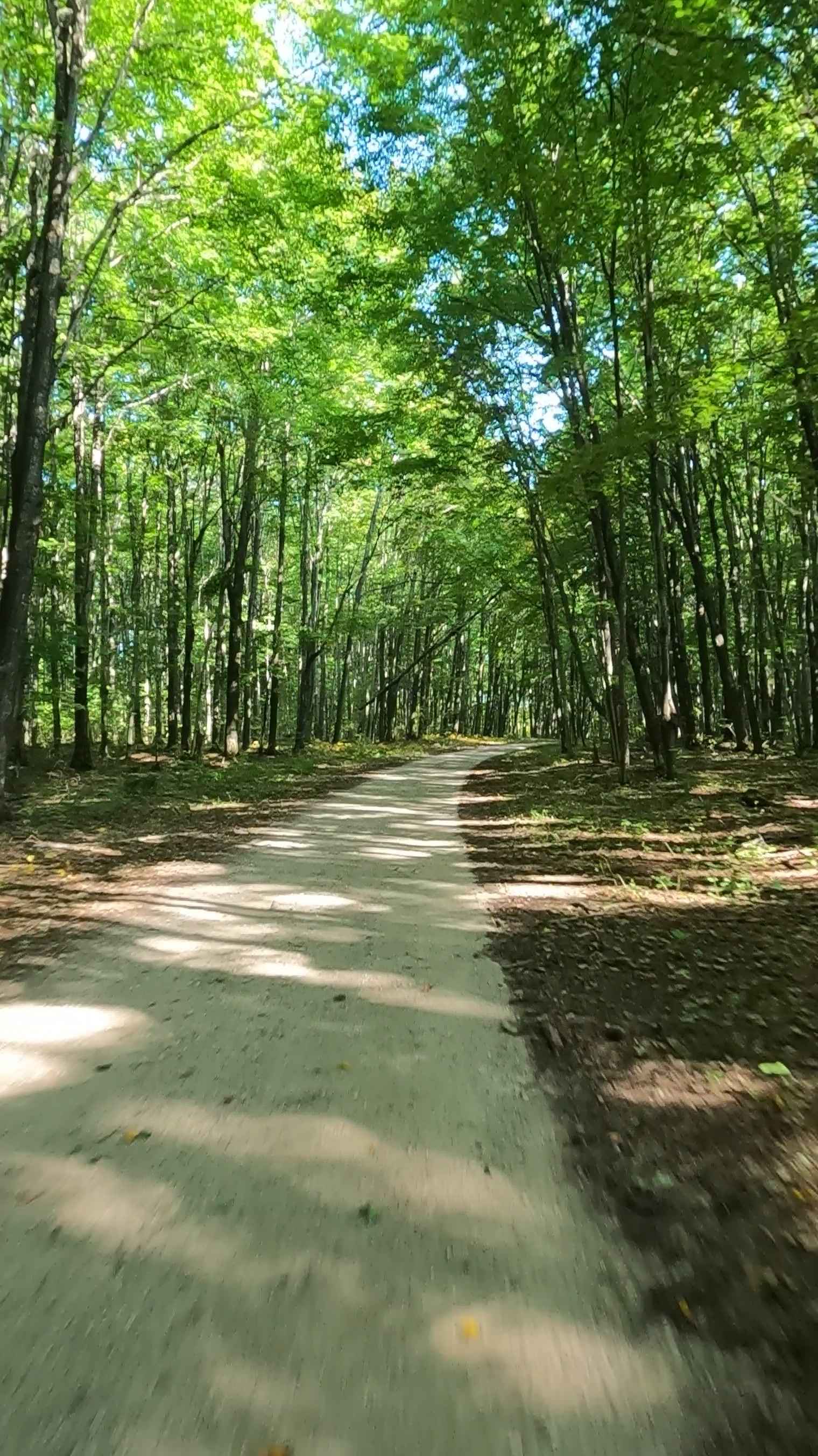
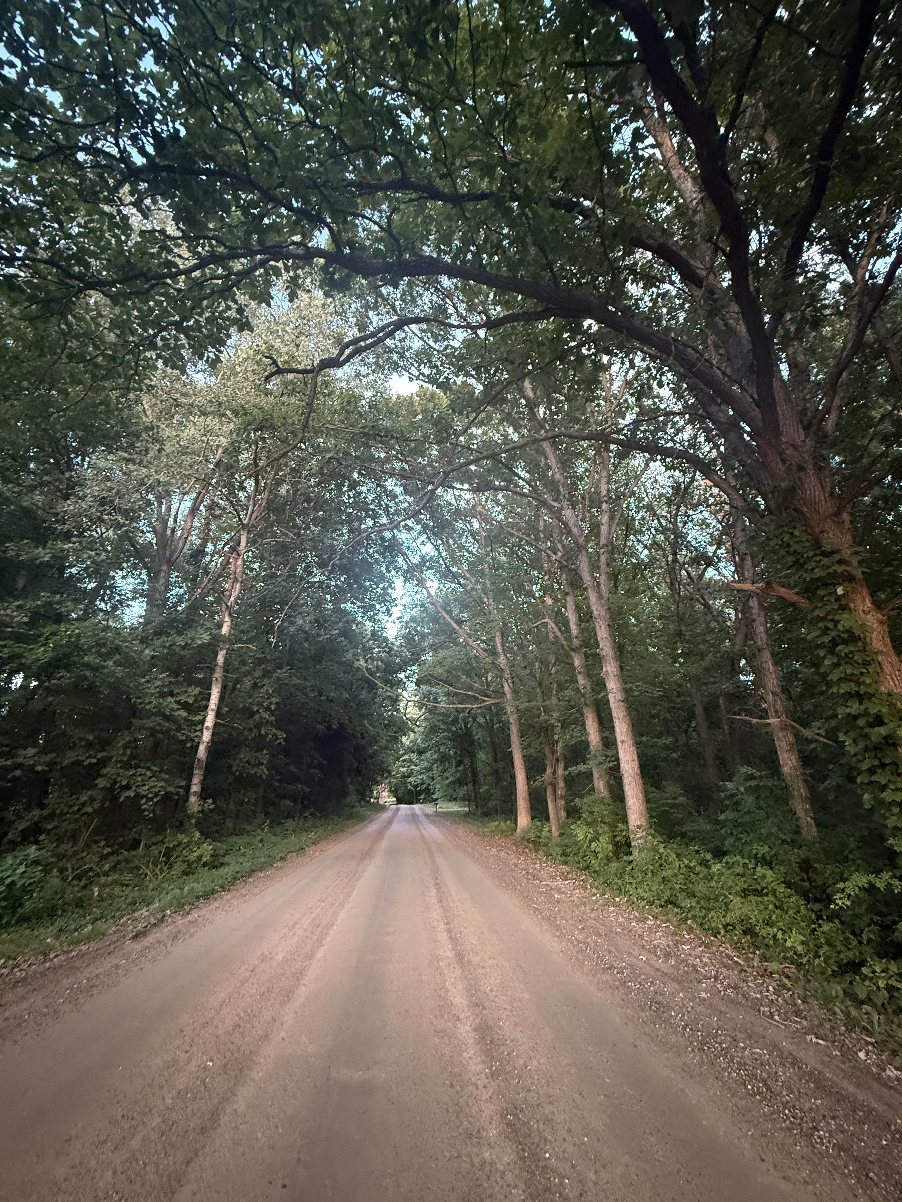
Trail Overview
Federal Forest Service Road (FS) 3222, also known as Thede, is a federally owned/ locally maintained, Level-2/ Level-3 forest road with a surface composition of dirt, sand, gravel, and native material. This route is currently open and in fair condition; it is not a DNR road (ORV use is subject to local government regulations) that connects FS 3344 -Wilwin to FS 3199 - Hendrie. Description created on September 11, 2025.
Photos of Thede - FS 3222
Difficulty
Dirt, gravel, sand, grass, and a rooted path, typically unmaintained after rain or snow, may give rise to shallow water crossings and obstacles under 12-inches on the trail, including small ledges. This route is a narrow "Two-Track" that is one vehicle in width.
History
Spur 3222 -Thede of the Hendrie Creek Truck Trail was developed as part of the infrastructure projects undertaken by Camp Raco (Company 667), a Civilian Conservation Corps (CCC) camp established in 1933. The trail was built to facilitate forestry tasks, including fire pre-suppression, tree planting, and improving access to the surrounding Hiawatha National Forest area. Origin: The truck trail was part of the "track and trail construction" projects initiated by the CCC to manage the forest, following President Roosevelt's New Deal Plan. Purpose: It provided crucial access for fire suppression and forest management in the Raco area. Context: Camp Raco also housed German prisoners of war during WWII and was involved in various conservation projects before being phased out.
Status Reports
Thede - FS 3222 can be accessed by the following ride types:
- High-Clearance 4x4
- SUV
- SxS (60")
- ATV (50")
- Dirt Bike
Thede - FS 3222 Map
Popular Trails

Linderman Road Forest Route
Fiborn/Nogi A Road - FS 3332
Brighton Trail

Weasel Truck Trail
The onX Offroad Difference
onX Offroad combines trail photos, descriptions, difficulty ratings, width restrictions, seasonality, and more in a user-friendly interface. Available on all devices, with offline access and full compatibility with CarPlay and Android Auto. Discover what you’re missing today!