Weasel Truck Trail
Total Miles
3.2
Technical Rating
Best Time
Spring, Summer, Fall
Trail Type
Full-Width Road
Accessible By
Trail Overview
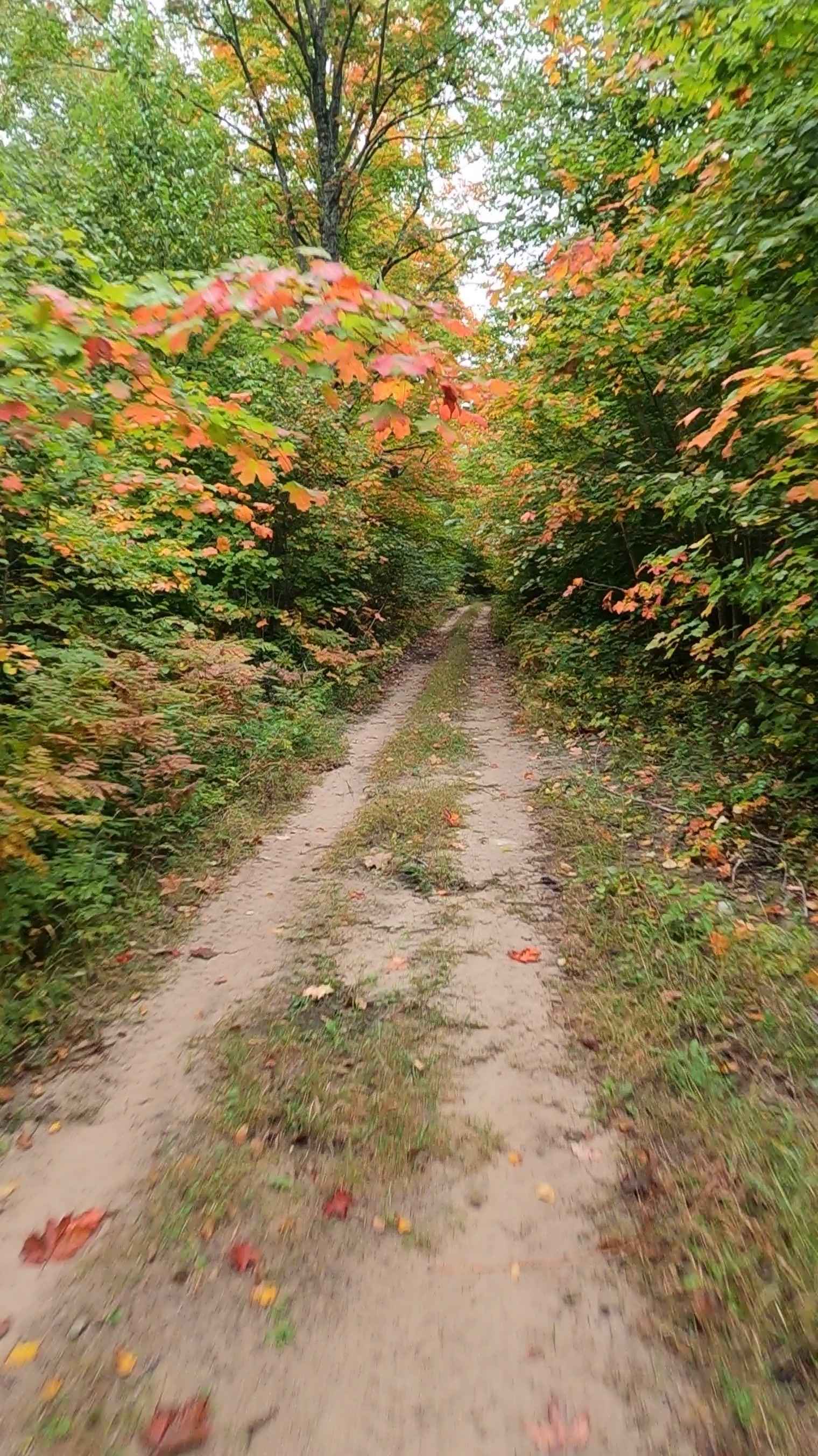
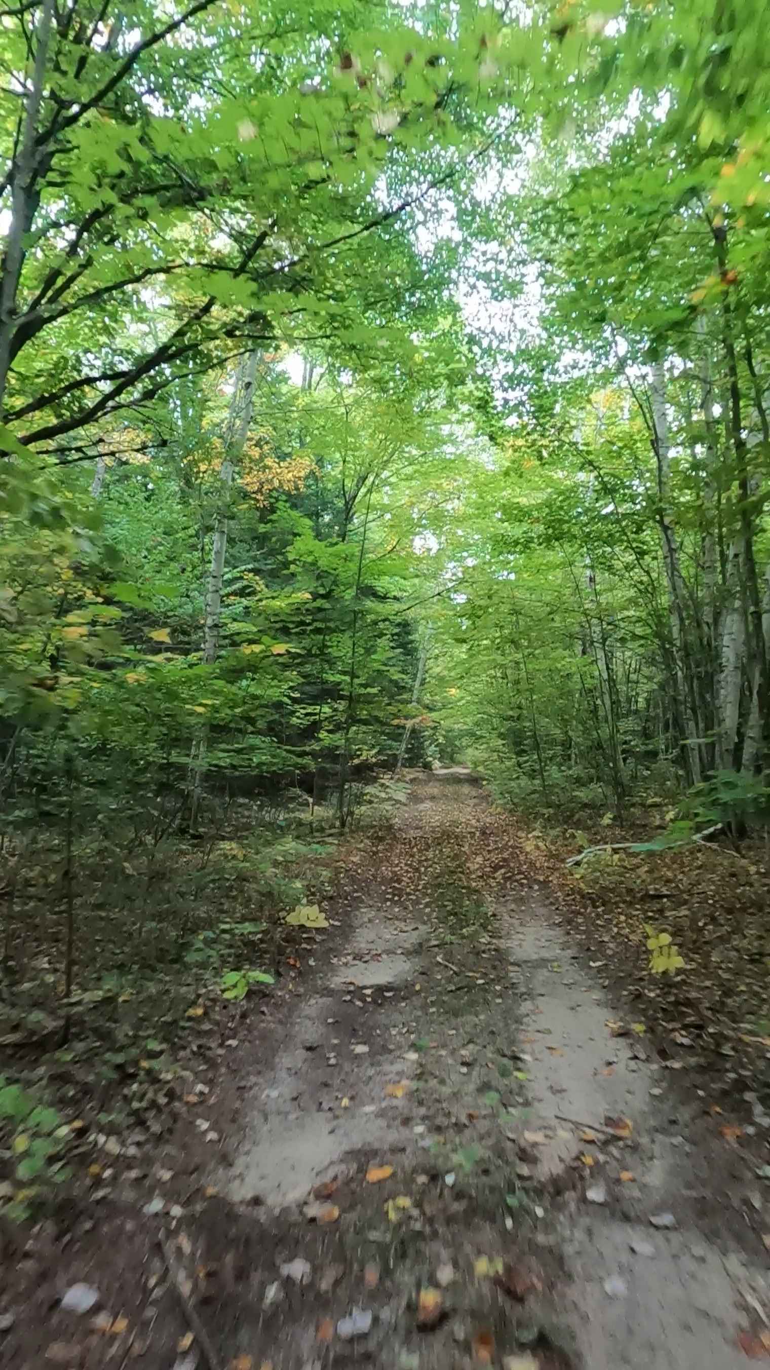
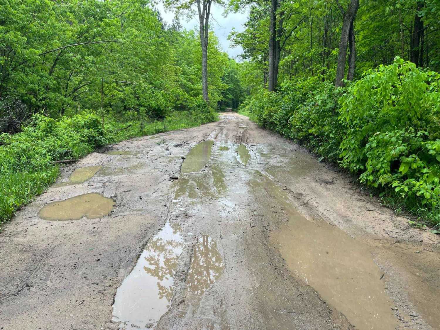
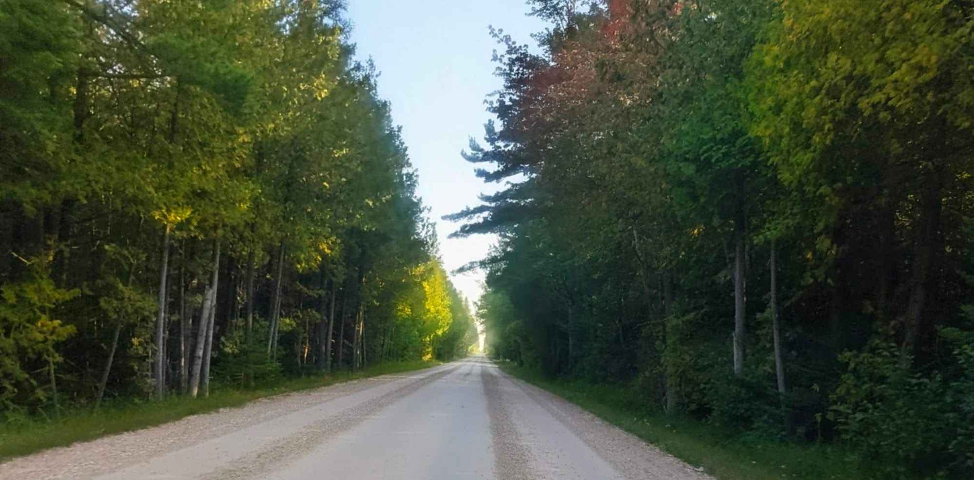
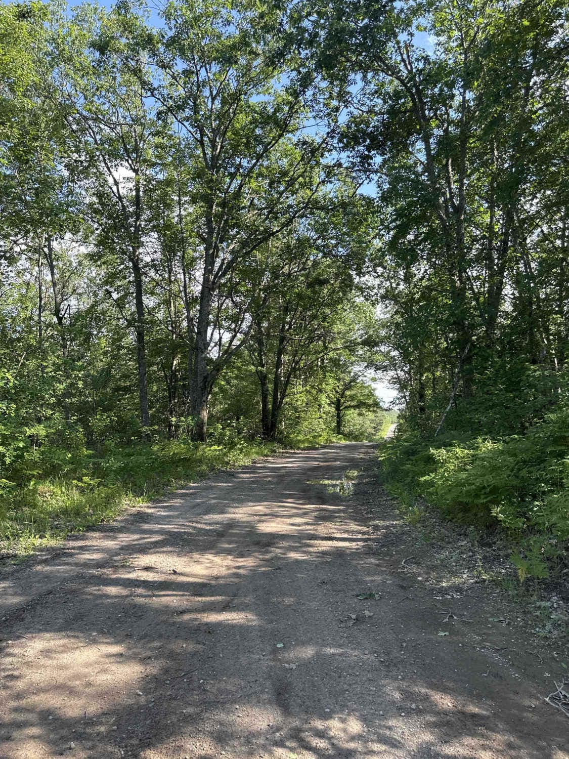
Weasel Truck Trail, also known as Weasel Truck Road, is a state-owned/ locally maintained, Level-2 Forest Access Route with a surface composition of dirt, sand, grass, and native material. This route is currently open and in fair condition. It is not a designated DNR route; however, the Newberry-Rexton Motorcycle ORV Trail (NRM) East does traverse the initial half mile of the east entrance, which is known for being difficult to travel, particularly in wet conditions due to a coniferous swamp and bog. From east to west, this route connects the Gliddings Truck Trail to the Dinkey Line Road and Fischer Road (ORV Route Ai/ NRM). Description created on September 18, 2025.
Photos of Weasel Truck Trail
Difficulty
Dirt, sand, grass route, unmaintained after rain or snow, which may give rise to water crossings deeper than 12 inches when passing through swamp and bog areas. This route is a "Two Track" path that is typically one vehicle in width with places to pass.
History
This trail is primarily maintained and utilized for forest management by the Michigan DNR, acting as access for forest surveys and timber management in the surrounding state-owned land. The area was heavily influenced by historic logging operations, with several old logging grades and at least one CCC (Civilian Conservation Corps) camp located south of the compartment.
Status Reports
Weasel Truck Trail can be accessed by the following ride types:
- High-Clearance 4x4
- SUV
- SxS (60")
- ATV (50")
- Dirt Bike
Weasel Truck Trail Map
Popular Trails
Cadillac Pathway #2
Seul Choix Pointe Lighthouse Road
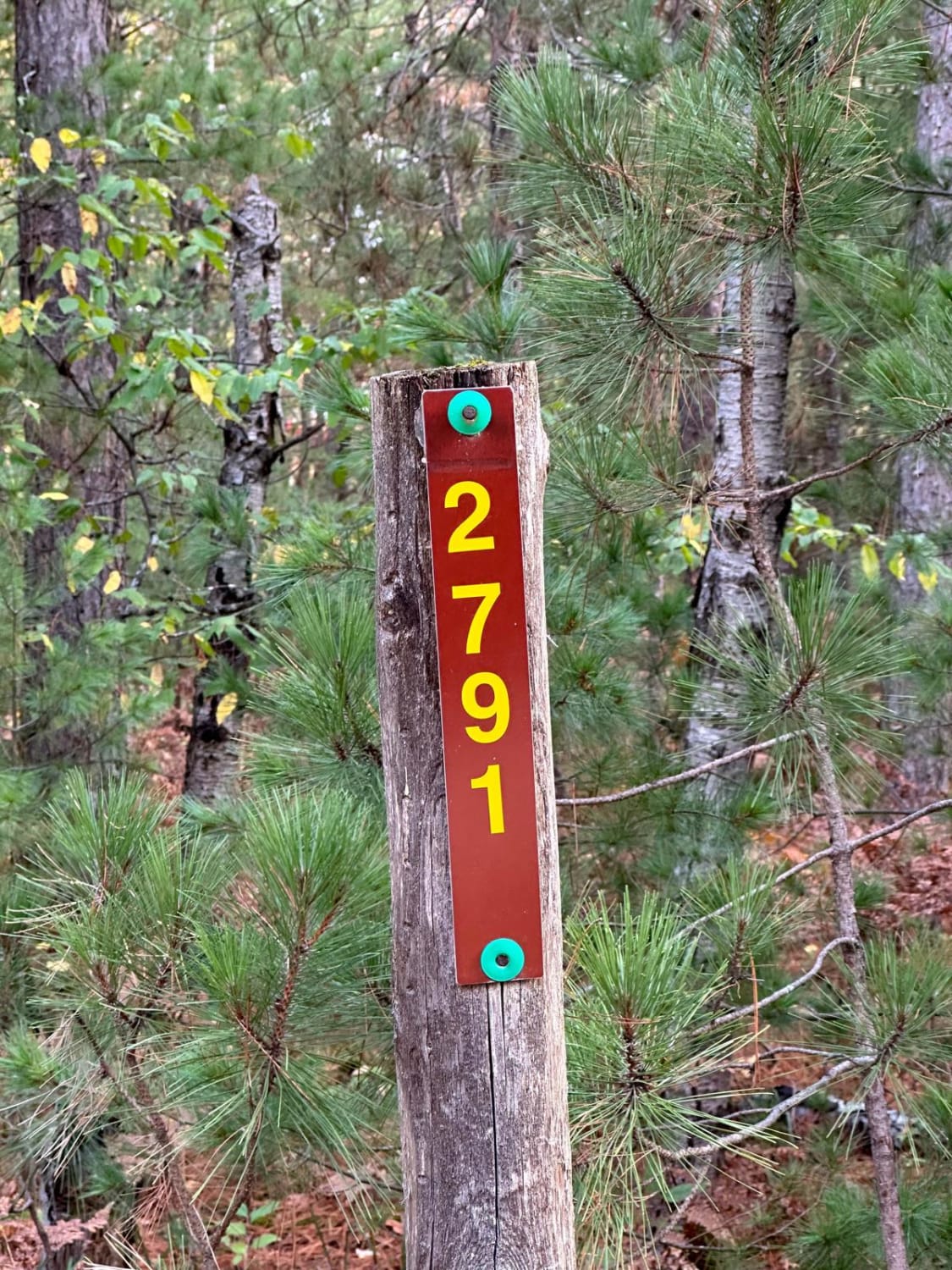
Neighbor Lake - FS 2791
The onX Offroad Difference
onX Offroad combines trail photos, descriptions, difficulty ratings, width restrictions, seasonality, and more in a user-friendly interface. Available on all devices, with offline access and full compatibility with CarPlay and Android Auto. Discover what you’re missing today!