Fiborn/Nogi A Road - FS 3332
Total Miles
1.2
Technical Rating
Best Time
Spring, Summer, Fall
Trail Type
Full-Width Road
Accessible By
Trail Overview
State Forest Service Road (FS) 3332, also known as Fiborn/ Nogi A Road, is a state-owned/ locally maintained, Level-2/ Level-3 forest road with a surface composition of dirt, sand, gravel, grass, and native material. This route is currently open and in fair condition; it is not a DNR road (ORV use is subject to local government regulations). It is a local road that connects Townline Road to FS 3372 - Ozark Trail and the Brevort- Trout Lake MCCCT system. Description created on September 17, 2025.
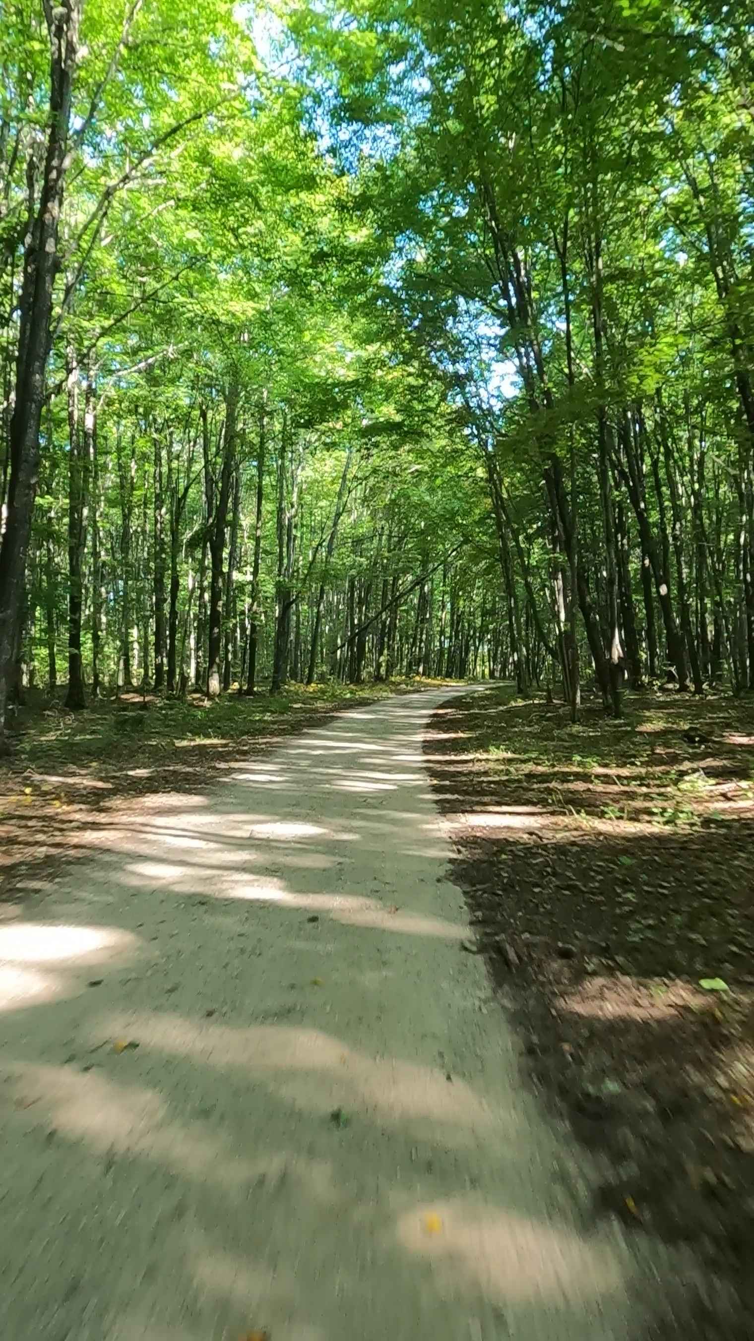
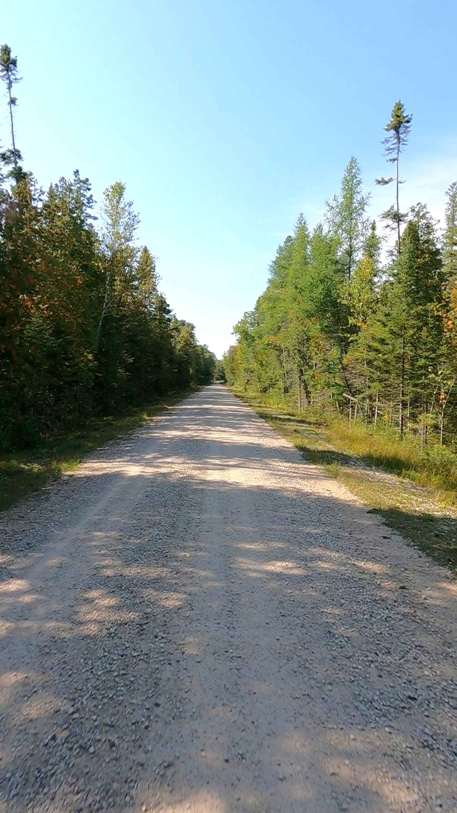
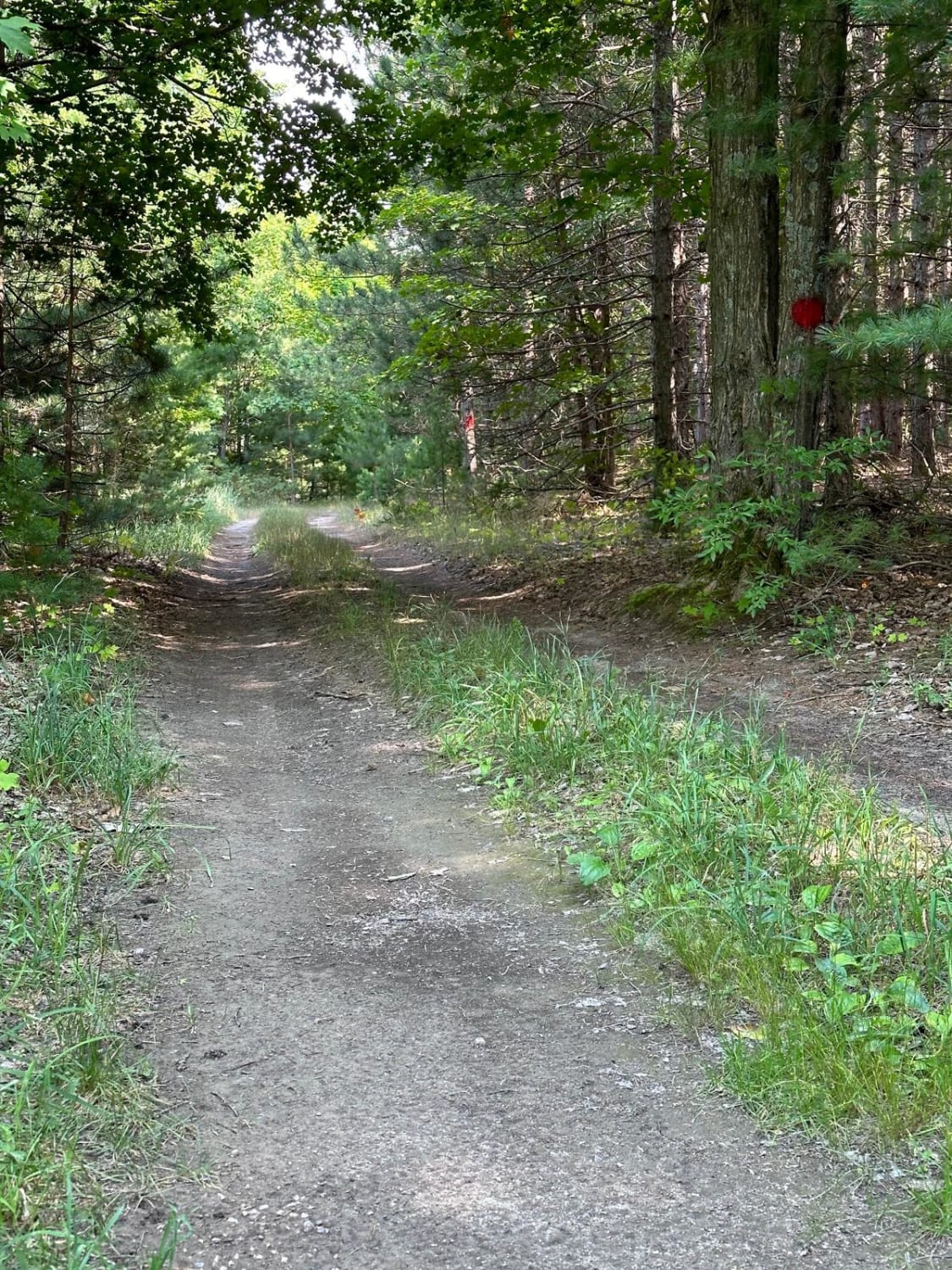
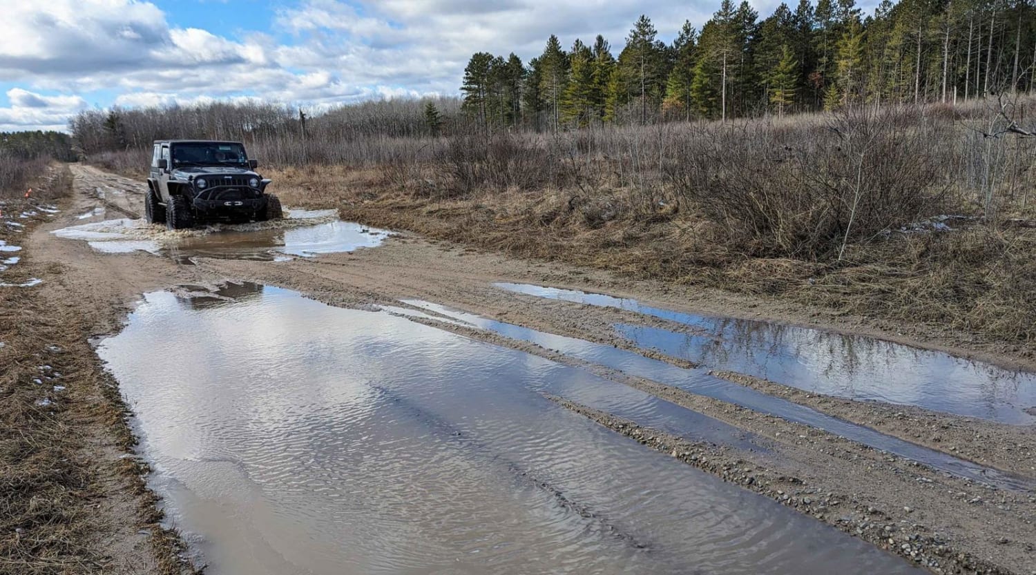
Photos of Fiborn/Nogi A Road - FS 3332
Difficulty
Dirt, gravel, sand, grass, and a rooted path, typically unmaintained after rain or snow, that may give rise to shallow water crossings and obstacles under 12 inches on the trail, including small ledges. This route narrows down to a "Two-Track" that is one vehicle in width.
History
This trail is named after the Fiborn Karst preserve located 17 miles Northwest of this Spur (4 miles due north of the town of Caffey Corner). The Fiborn Karst Preserve is a 480-acre preserve that was once the site of a limestone quarry from 1905 to 1936 that supplied limestone to Algoma Steel in Sault Ste. Marie, Ontario. The Michigan Karst Conservancy purchased the property in 1987 and established the Fiborn Karst Preserve, managing it as a natural area open to the public under guidelines meant to prevent damage to natural features, vandalism, and unsupervised, unsafe cave exploration. MKC volunteers gather once a month from May through October to perform maintenance and management work such as clearing and mowing trails, posting or repairing signs, and occasionally cleaning graffiti in the quarry railroad house. At the preserve, there are two self-guided trails that offer visitors a look at the local geology and history of the area. A major feature of the preserve is the Hendrie River Water Cave, which is Michigan's longest known cave. It contains approximately 1,500 feet of high, narrow passages with a stream running along the floor. It should also be noted that both the Little Brown Bat and Northern Long-Eared Bat utilize the cave for swarming and hibernation. Visitors are able to tour this cave, and can schedule a tour directly through the Michigan Karst Conservancy.
Status Reports
Fiborn/Nogi A Road - FS 3332 can be accessed by the following ride types:
- High-Clearance 4x4
- SUV
- SxS (60")
- ATV (50")
- Dirt Bike
Fiborn/Nogi A Road - FS 3332 Map
Popular Trails

Beeman Road Spur
Gilford Ranch Trail
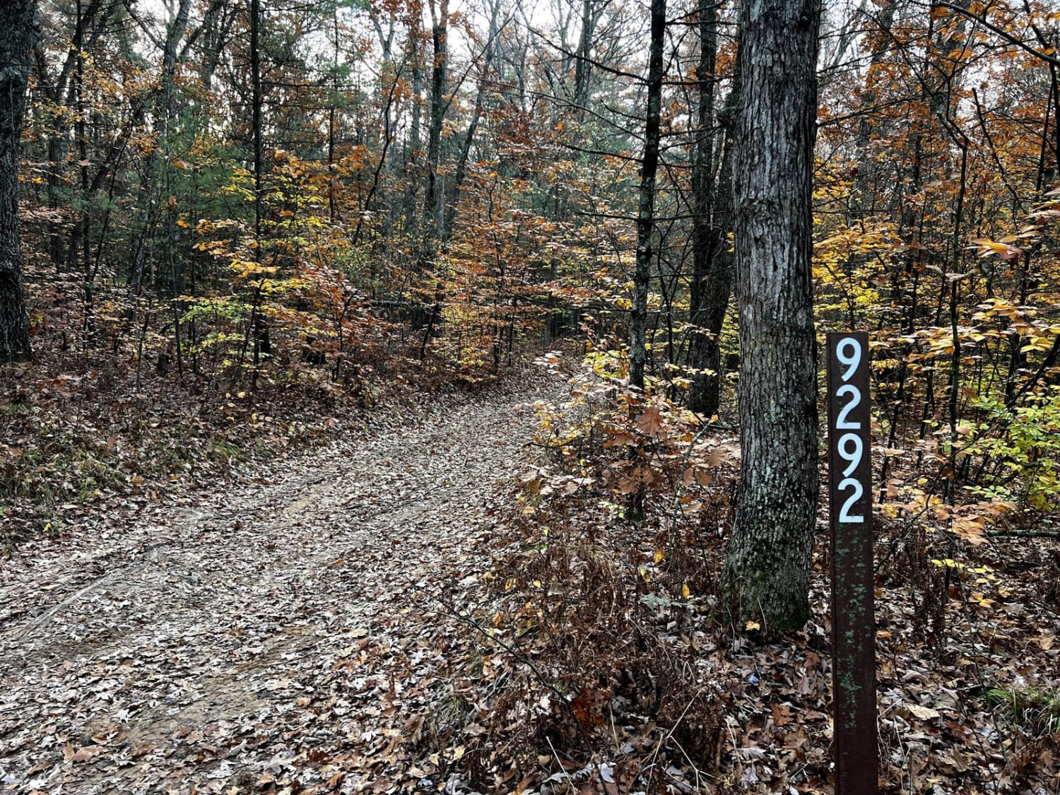
Rothbury Forest Loop - FS 9292
The onX Offroad Difference
onX Offroad combines trail photos, descriptions, difficulty ratings, width restrictions, seasonality, and more in a user-friendly interface. Available on all devices, with offline access and full compatibility with CarPlay and Android Auto. Discover what you’re missing today!