Southwest Leg Tomahawk B Loop
Total Miles
11.0
Technical Rating
Best Time
Spring, Summer, Fall
Trail Type
Single Track
Accessible By
Trail Overview
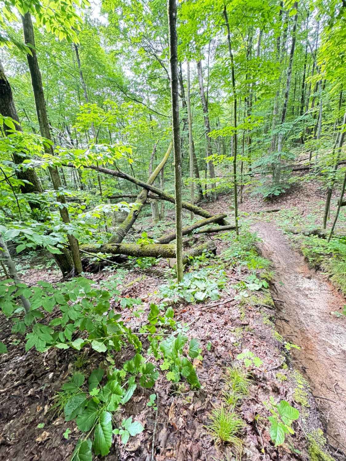
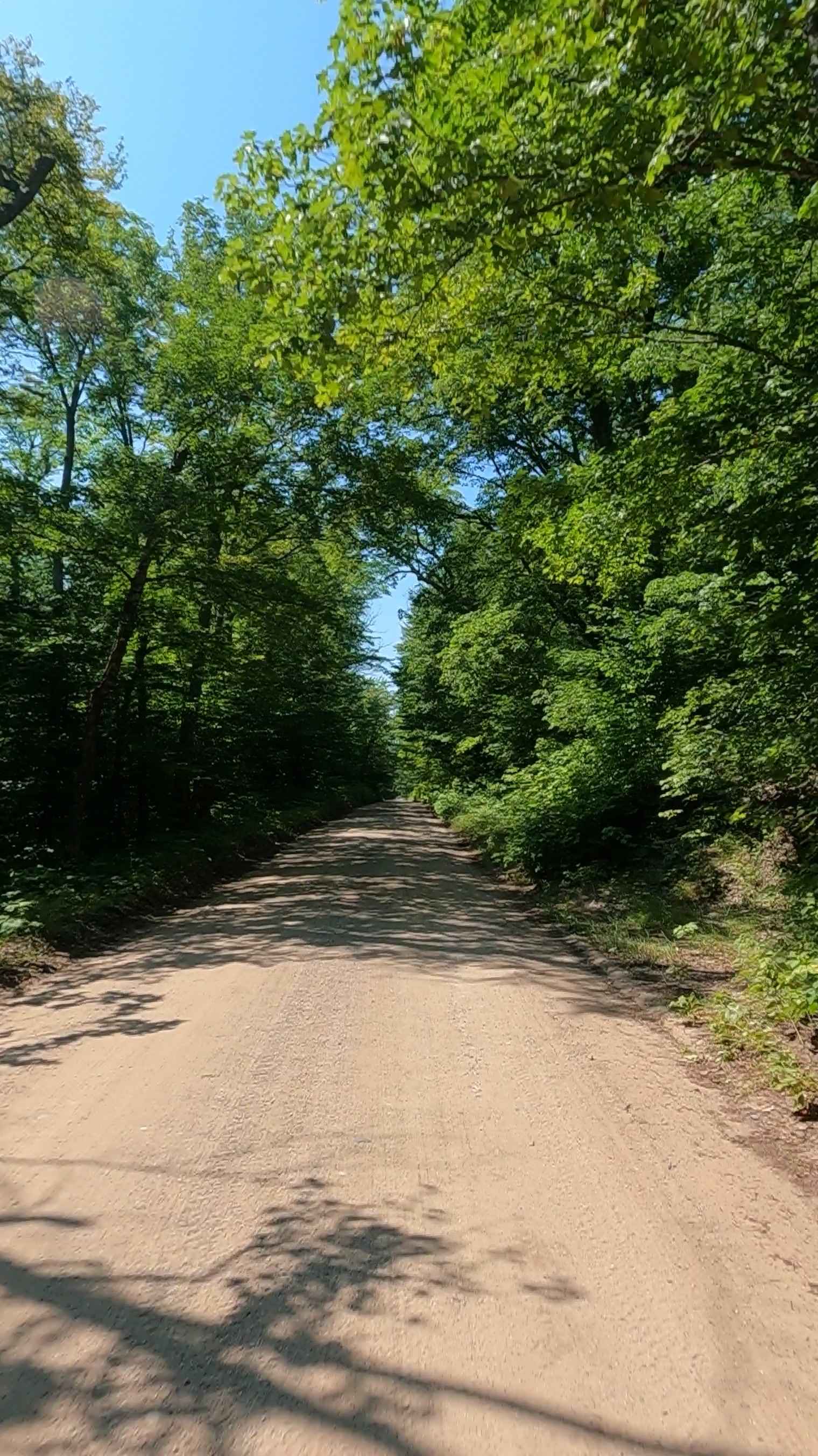
On the southwest end of Tomahawk B loop, you will find dense forest with sand, hard pack, loamy soil, and thick brush along the trail. Ferns and other small trees tend to grow quickly in toward the trail. This section is twisty with some elevation change. Some standing water may be present in a few spots, but nothing deep.
Photos of Southwest Leg Tomahawk B Loop

Difficulty
Single-track 24" motorcycle-only trail. Tight in spots with elevation change.
History
The tomahawk trail system is michigans crown jewel, attracting enthusiasts from all over the country
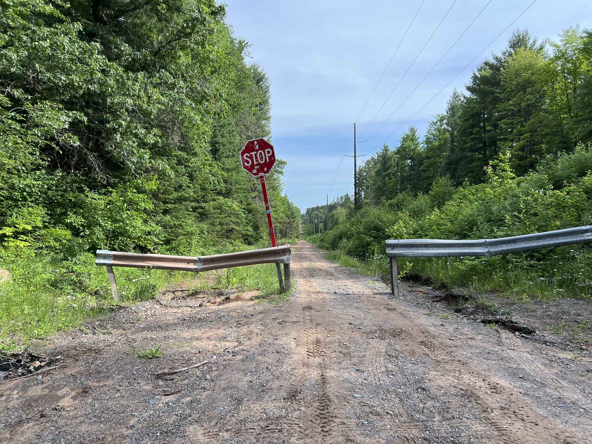
Southwest Leg Tomahawk B Loop can be accessed by the following ride types:
- Dirt Bike
Southwest Leg Tomahawk B Loop Map
Popular Trails
County Road EEM

Hungerford Lake Boat Launch
Trail LL - Paulding Lights

NFS 5273/5272
The onX Offroad Difference
onX Offroad combines trail photos, descriptions, difficulty ratings, width restrictions, seasonality, and more in a user-friendly interface. Available on all devices, with offline access and full compatibility with CarPlay and Android Auto. Discover what you’re missing today!