Trail LL - Paulding Lights
Total Miles
6.6
Technical Rating
Best Time
Spring, Summer, Fall
Trail Type
Full-Width Road
Accessible By
Trail Overview
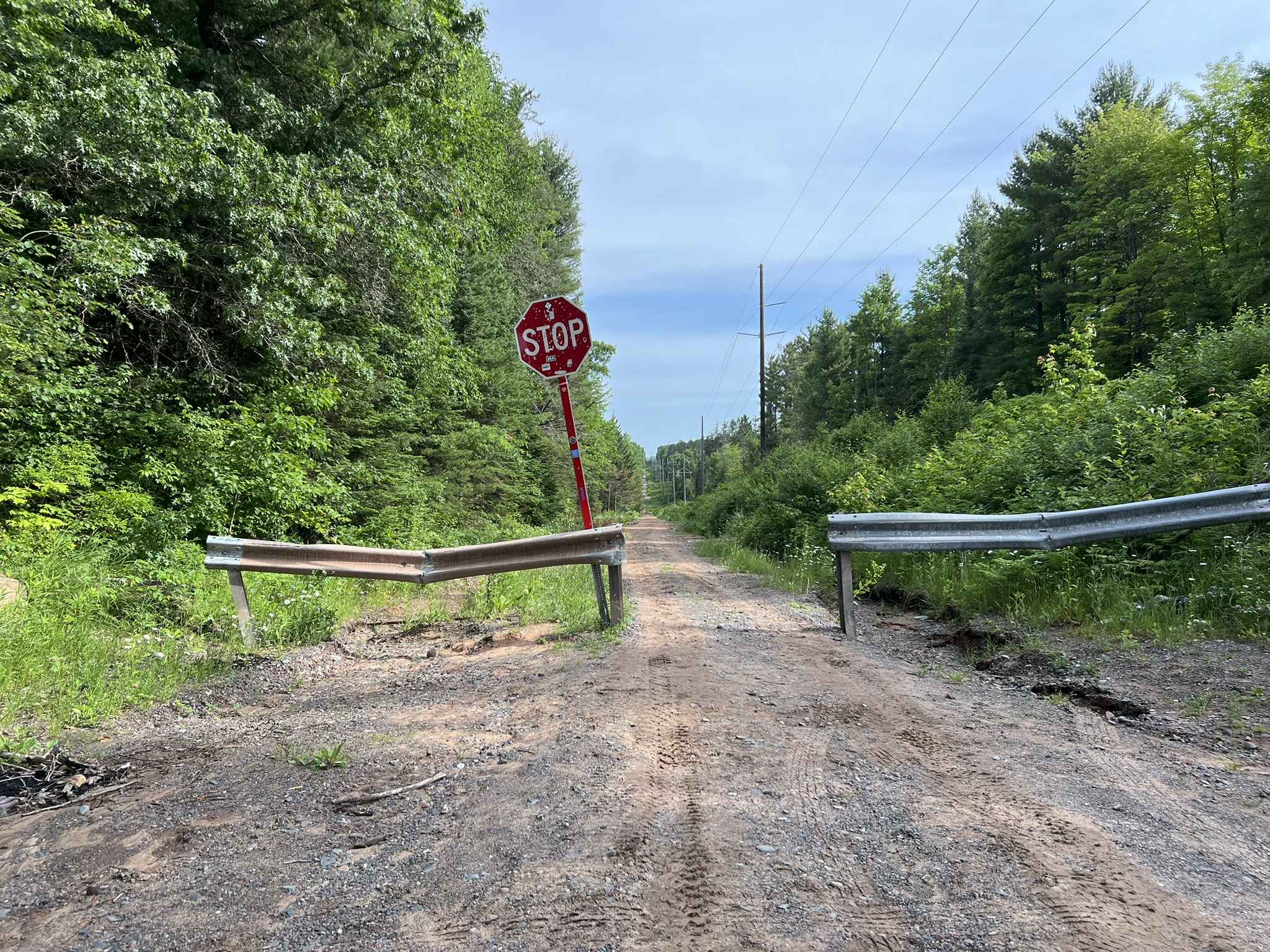
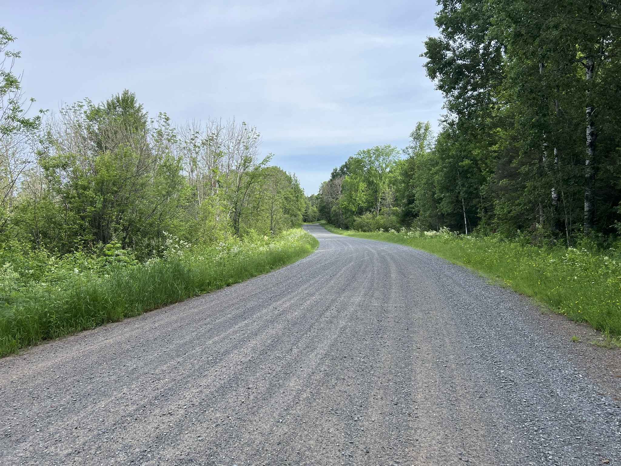
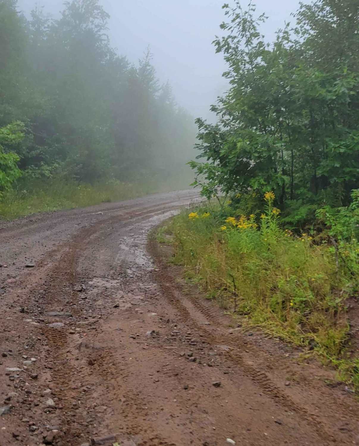
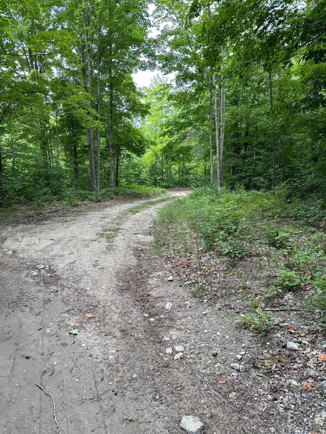
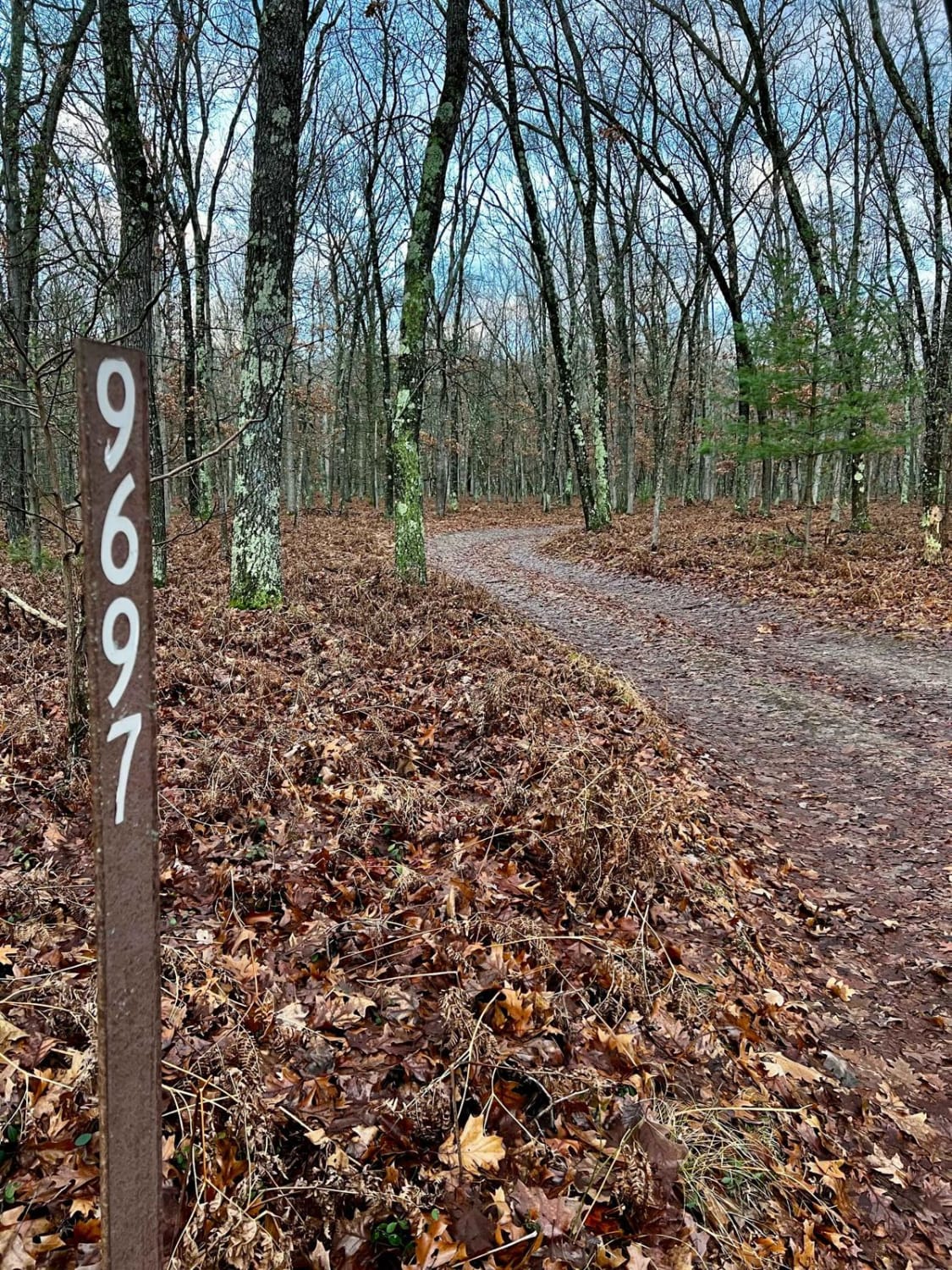
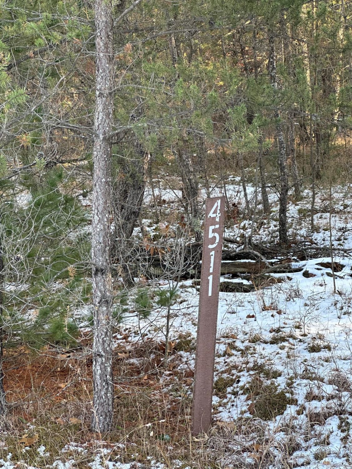
This is Trail LL, Paulding Lights, located in Gogebic and Ontonagon Counties, Michigan. This trail begins where Trail LL resumes as a gravel road (Bass Lake Rd) north of the town of Watersmeet. If traveling by ATV or SxS, a short paved route through town will need to be used in order to navigate from Gogebic County, MI, Trail LL/3 to the Paulding Lights Trail. This trail begins as a wide gravel road with ample room for multiple vehicles. Sight lines are excellent, and the scenery allows views of Bass Lake, followed by rolling hills and mature forests. As the trail progresses, it will begin to narrow up to a width that is wide enough for vehicles to pass at a slow or stopped pace. The scenery remains a mix of rolling hills with mature forests; however, there will be an occasional swamp or tamarack forest that is mixed in. Roughly 3 miles into this trail from the southern trailhead head there is a parking place for the Iconic Paulding Lights viewing spot. At the Paulding Lights, the trail necks down to 64in and under for roughly 1 mile. Riders of this section of trail need to take caution of the unmarked bridge that blends into the landscape, sitting at the bottom of a blind and steep hill. The terrain for this section of the trail is sandy, as it follows old power lines that feed the town of Paulding and surrounding communities. Machines that are over 64in wide will need to backtrack to Highway 45 and head north to FDR 5260, where they will be able to reconnect with Trail LL, Paulding Lights. The remainder of the trail is wide open with a good amount of room for vehicles, as it navigates through lowland swamp and mature forests before entering the town of Paulding.
Photos of Trail LL - Paulding Lights
Difficulty
This trail can be easily completed by riders of all experience levels. The trail has okay to excellent sight lines throughout, allowing for easy viewing of oncoming traffic and trail features. Where the trail necks down to 64in and under, there is an unmarked bridge, located at the bottom of a blind hill. This valley that the bridge sits in blends into the landscape, especially when traveling north, and cannot be seen until the last minute. Take caution in this section. The trail surface changes from loose gravel to packed sand; however, the trail drains well, and there are few to no mud holes.
History
This trail navigates past the Historic Paulding Lights viewing spot. The Paulding Light (also called the Lights of Paulding or the Dog Meadow Light) is a light that appears in a valley outside Paulding, Michigan. Reports of the light have appeared since the 1960s, with popular folklore providing such explanations as ghosts, geologic activity, or swamp gas. In 2010, Michigan Tech students conducting a scientific investigation of the light were able to see automobile headlights and tail lights when viewing the light through a telescope. They recreated the effect of the light by driving a car through a specific stretch of US Highway 45 (US 45) (https://en.wikipedia.org/wiki/Paulding_Light)
Trail LL - Paulding Lights can be accessed by the following ride types:
- High-Clearance 4x4
- SUV
- SxS (60")
- ATV (50")
- Dirt Bike
Trail LL - Paulding Lights Map
Popular Trails
Keweenaw Klutch Krisper
North Haze Road Part 4/48461
FS 4511 Loop
The onX Offroad Difference
onX Offroad combines trail photos, descriptions, difficulty ratings, width restrictions, seasonality, and more in a user-friendly interface. Available on all devices, with offline access and full compatibility with CarPlay and Android Auto. Discover what you’re missing today!