County Road EEM
Total Miles
1.0
Technical Rating
Best Time
Spring, Summer, Fall
Trail Type
Full-Width Road
Accessible By
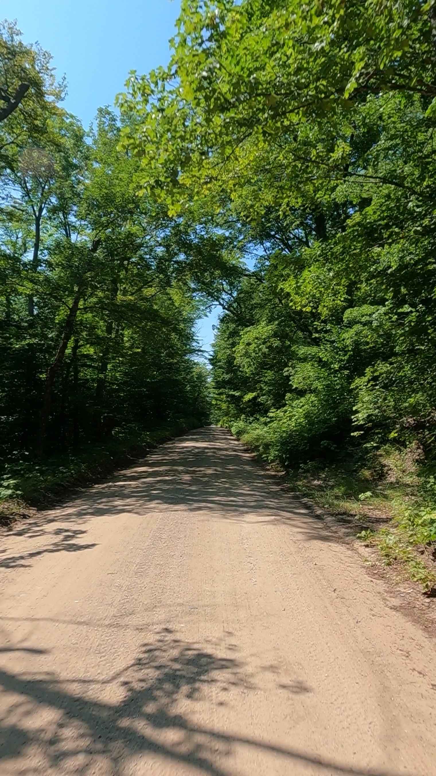
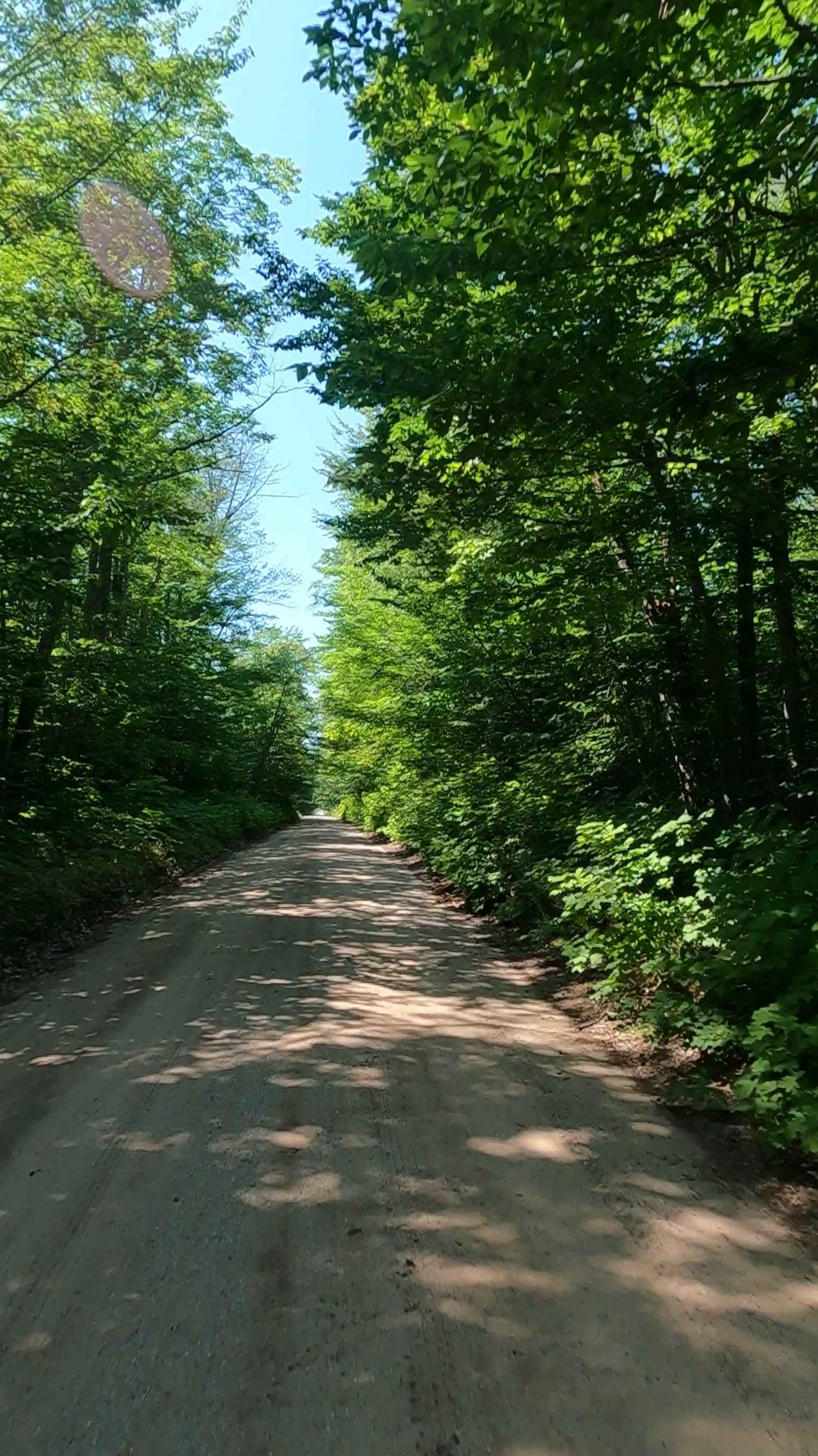
Trail Overview
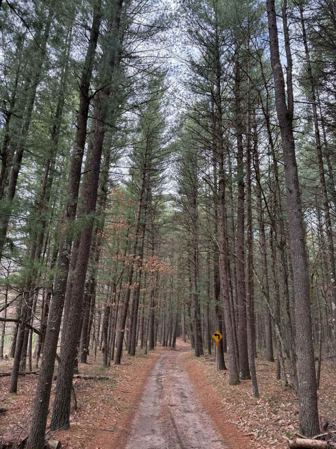
EEM Road is a county road that curves away from East State Highway M-35 and connects to North Cataract Road. It is classified as a non-DNR road with a private owner. The surface consists of dirt, sand, and native material, and the overall condition is considered fair. Since it is not a DNR road, ORV use is subject to local government laws. The road remains open under the current closure criteria.
Photos of County Road EEM
Difficulty
Unmaintained dirt road. You may encounter shallow water crossings after recent rainfall and/ or obstacles such as branches under 12 inches on the trail. This route is typically one to two vehicles wide.
History
Cataract Basin's history revolves around its hydroelectric dam, built in 1929 by Cleveland Cliffs Mining Co. to serve Gwinn's mining operations. The dam creates a reservoir on the Middle Branch Escanaba River, with water cascading over a natural spillway to the Cataract Falls. After falling into disuse, the plant was restored in 2016 by Renewable World Energies LLC and now operates efficiently, powering the area.
Status Reports
County Road EEM can be accessed by the following ride types:
- High-Clearance 4x4
- SUV
- SxS (60")
- ATV (50")
- Dirt Bike
County Road EEM Map
Popular Trails
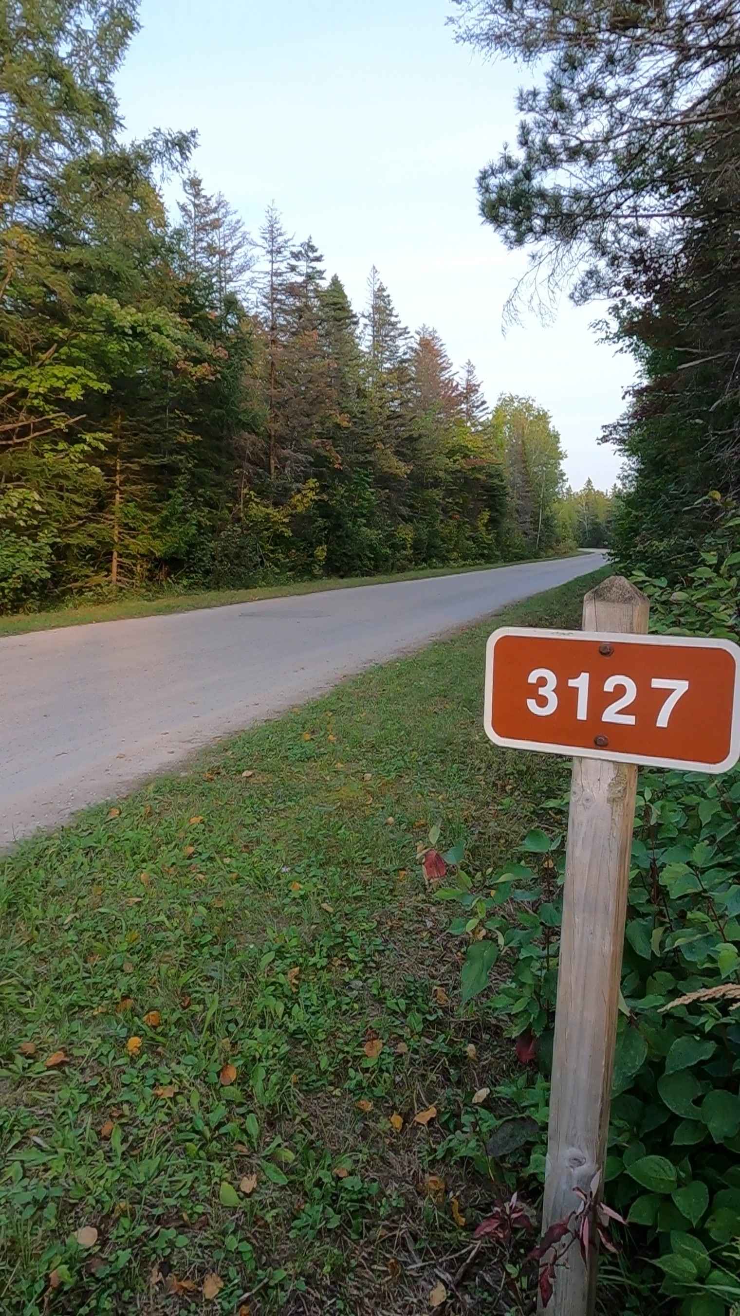
Carp River Boat Landing Road - FS 3127

Fife Lake Trail
The onX Offroad Difference
onX Offroad combines trail photos, descriptions, difficulty ratings, width restrictions, seasonality, and more in a user-friendly interface. Available on all devices, with offline access and full compatibility with CarPlay and Android Auto. Discover what you’re missing today!