Southend Branch Line West
Total Miles
3.1
Technical Rating
Best Time
Summer, Fall
Trail Type
Full-Width Road
Accessible By
Trail Overview
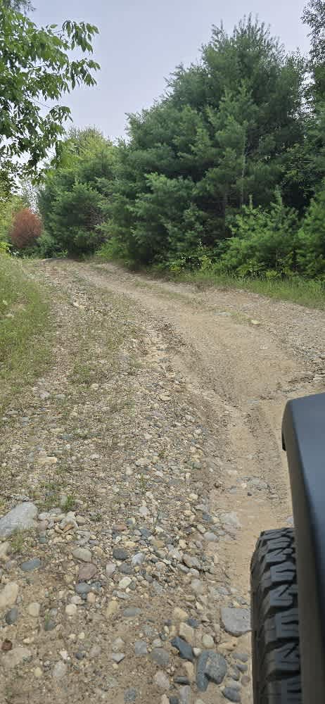
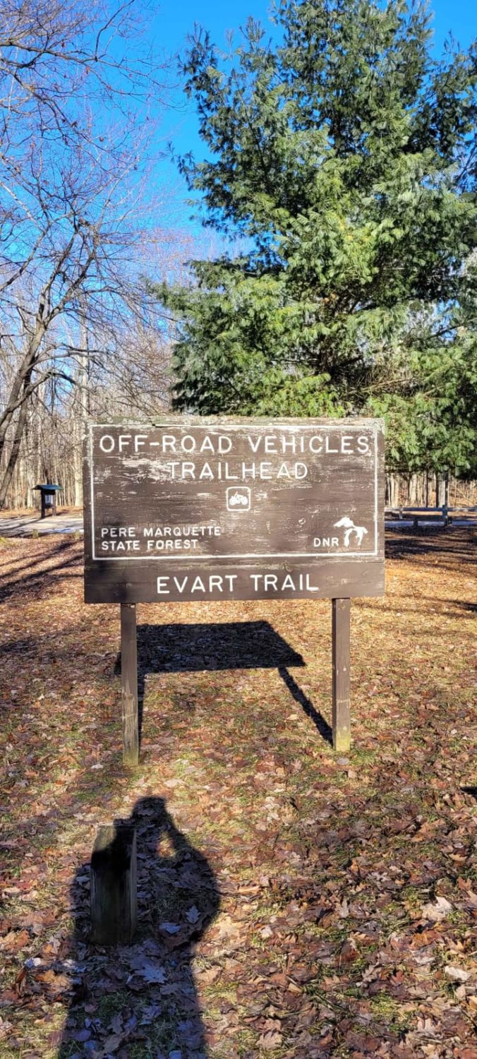
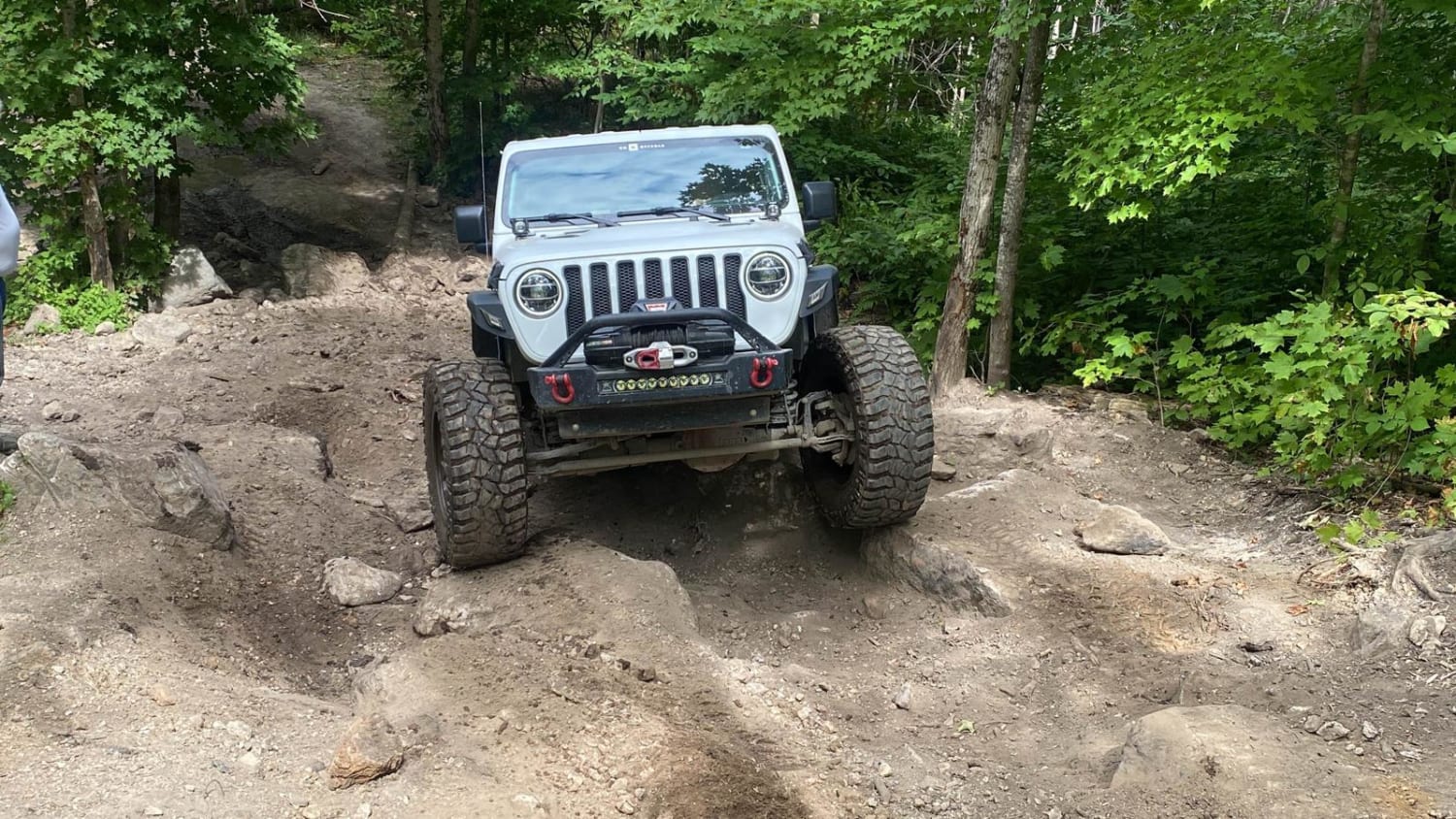
This route starts at the corner of Renkie Road. The entrance is poorly marked and almost looks like a driveway. Once you're on it, you'll follow a long, straight road for a while. In the wet seasons, this road is known to collect plenty of mud in potholes. Just past a small sandy area, you'll come to a fork in the road--staying to the left will take you to the rest of the trail system. Please note this is an "out and back" type trail. There is only one way in and out at this time that I have found. Sadly, after northern Michigan's ice storm last year, the trails have become a mess. There's a difficult spot on this trail with deep mud; I'd advise taking the bypass trail rather than going through it. There are also a couple of small stream or creek crossings along the way. This trail has a few off-camber spots, with just enough tilt to give you a rush. There are also some very tight sections. We took our 4-door Jeep, and at points, the trail narrowed so much that trees were just inches from both sides. This trail requires 4x4 and decent ground clearance. It's mainly wooded, with some open areas and a couple of cool sights to see. The trail system used to extend farther, but a collapsed area now makes it impassable.
Photos of Southend Branch Line West

Difficulty
Multiple deep ruts with mud, multiple off-camber small climbs, and a couple of small water crossings with off-camber climb outs. Passing vehicles will be difficult without backing up to safe areas.
Southend Branch Line West can be accessed by the following ride types:
- High-Clearance 4x4
- SUV
- SxS (60")
- ATV (50")
- Dirt Bike
Southend Branch Line West Map
Popular Trails
Evart to Sunrise Lake Trail

Grassy Grown Trail
Mu's Nemesis/Halfrish Hill
The onX Offroad Difference
onX Offroad combines trail photos, descriptions, difficulty ratings, width restrictions, seasonality, and more in a user-friendly interface. Available on all devices, with offline access and full compatibility with CarPlay and Android Auto. Discover what you’re missing today!