South Meridian
Total Miles
6.9
Technical Rating
Best Time
Fall, Summer, Spring
Trail Type
Full-Width Road
Accessible By
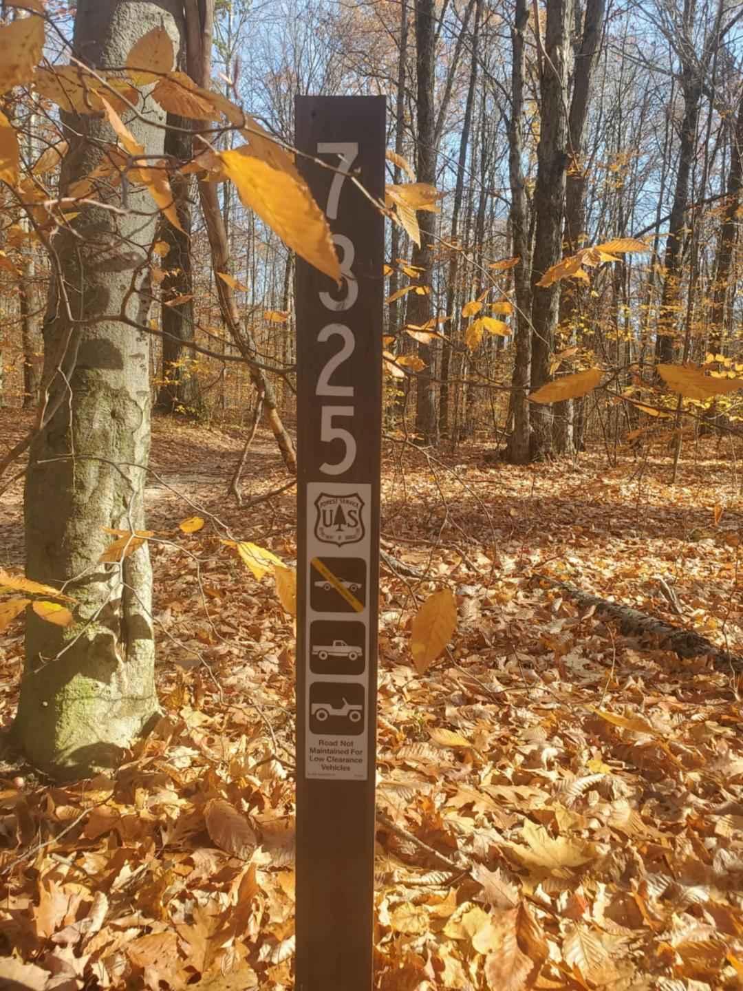
Trail Overview
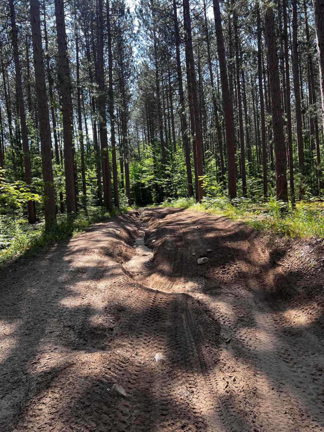
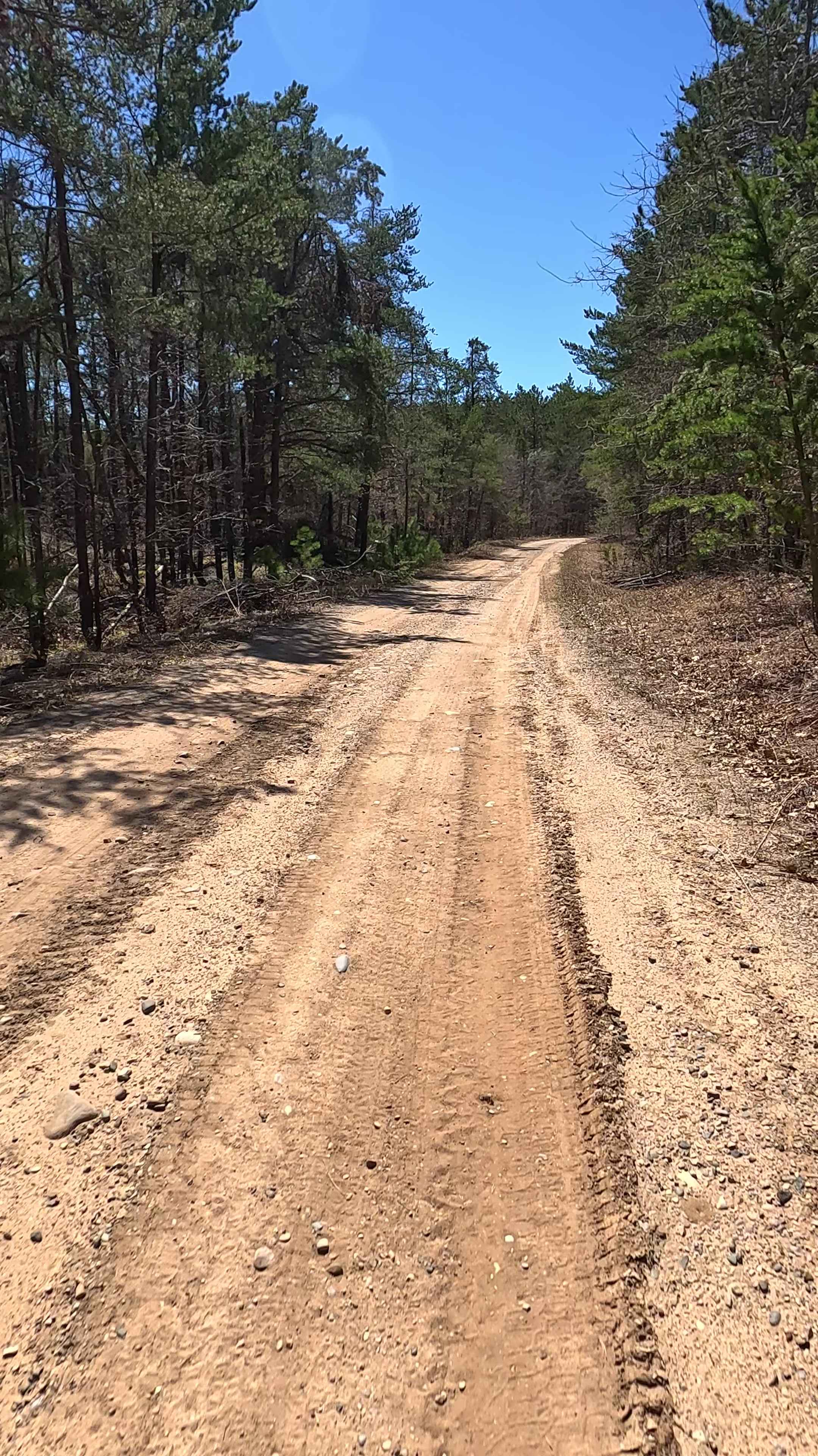
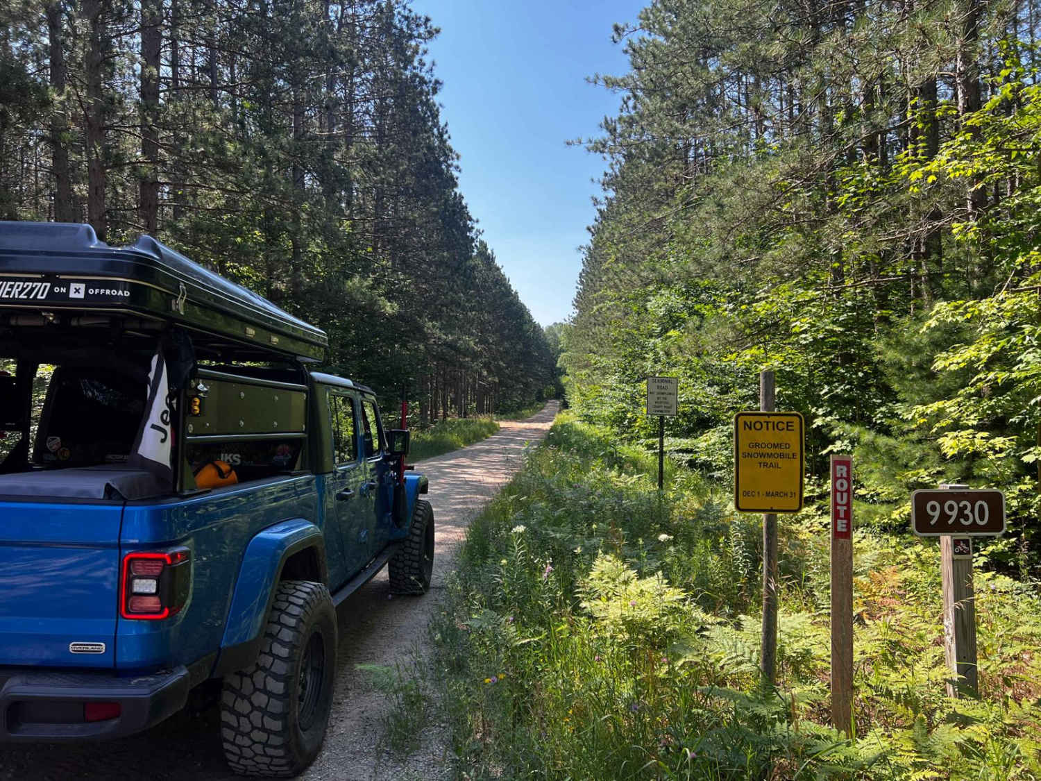
This trail runs south and north with the north side of this trail being 4 vehicles wide. This north section is mixed traffic, allowing SxS, motorcycles, quads, and full-sized vehicles. From December through March, only snowmobile traffic is permitted in this section. At the north end, the terrain is sandy and has deep washboarding with some smaller mud holes and medium-sized elevation changes. The south quarter of this trail gets tight; it's 1 vehicle wide or less in some spots, but the trail is smooth if you run this section. The trees are beautiful in this area.
Photos of South Meridian


Difficulty
The sandy ruts will require 4WD.
Status Reports
South Meridian can be accessed by the following ride types:
- High-Clearance 4x4
- SUV
South Meridian Map
Popular Trails
County Road CCZ
The onX Offroad Difference
onX Offroad combines trail photos, descriptions, difficulty ratings, width restrictions, seasonality, and more in a user-friendly interface. Available on all devices, with offline access and full compatibility with CarPlay and Android Auto. Discover what you’re missing today!