County Road CCZ
Total Miles
2.5
Technical Rating
Best Time
Spring, Summer, Fall
Trail Type
Full-Width Road
Accessible By
Trail Overview
County Road CCZ, also known as County Highway Ccz, is a locally owned/locally maintained, Level-2/Level-3 forest road with a surface composed of dirt, sand, gravel, and native material. This route is currently open and in fair condition; it is not a DNR road (ORV use is subject to local government regulations) and connects Bryan Creek Road to open Forestry routes that offer a labyrinth of there-and-back spurs during the ORV riding season. Mixed traffic of logging vehicles and ORVs can be expected on these routes. Be cautious and courteous.
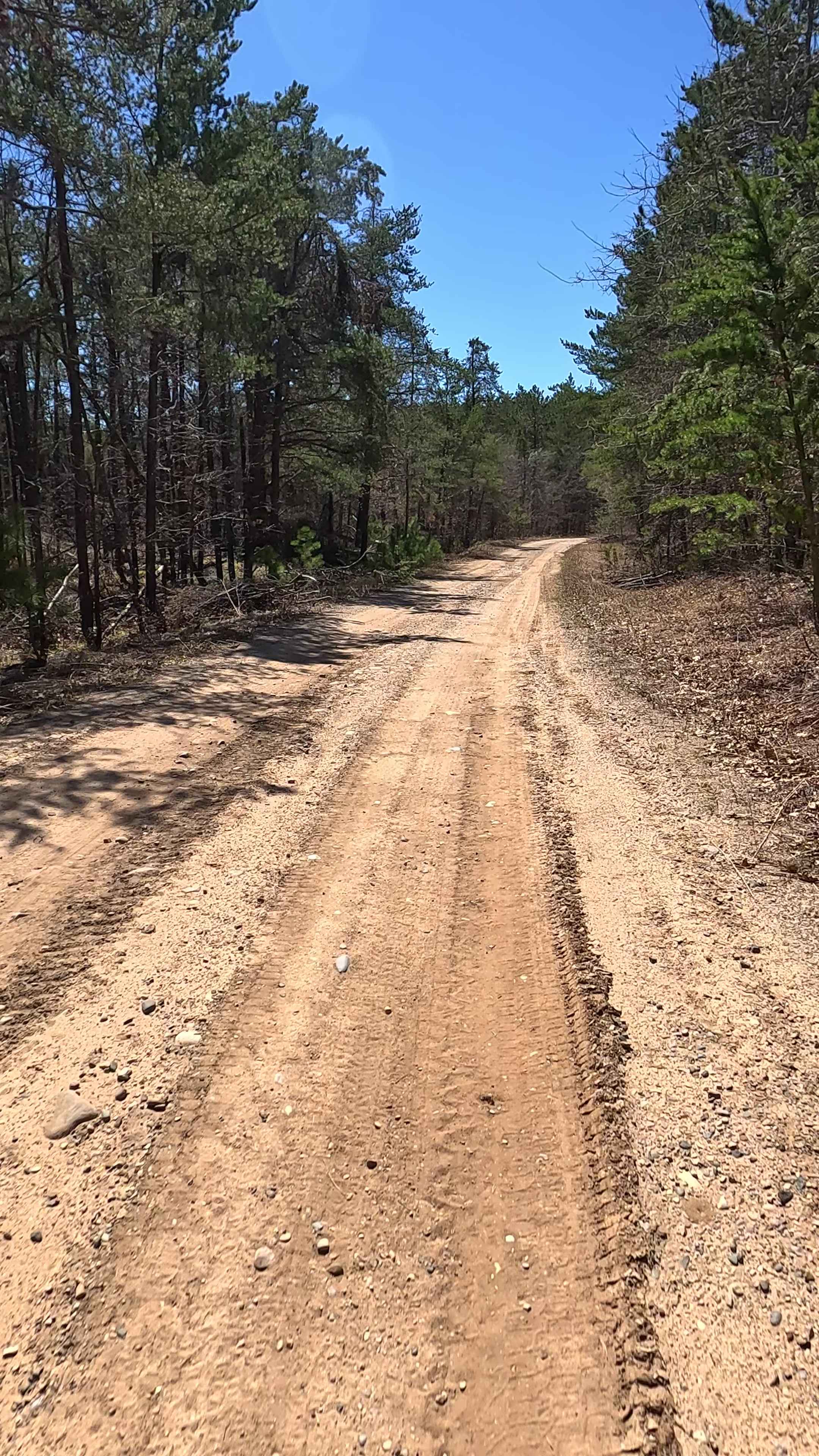
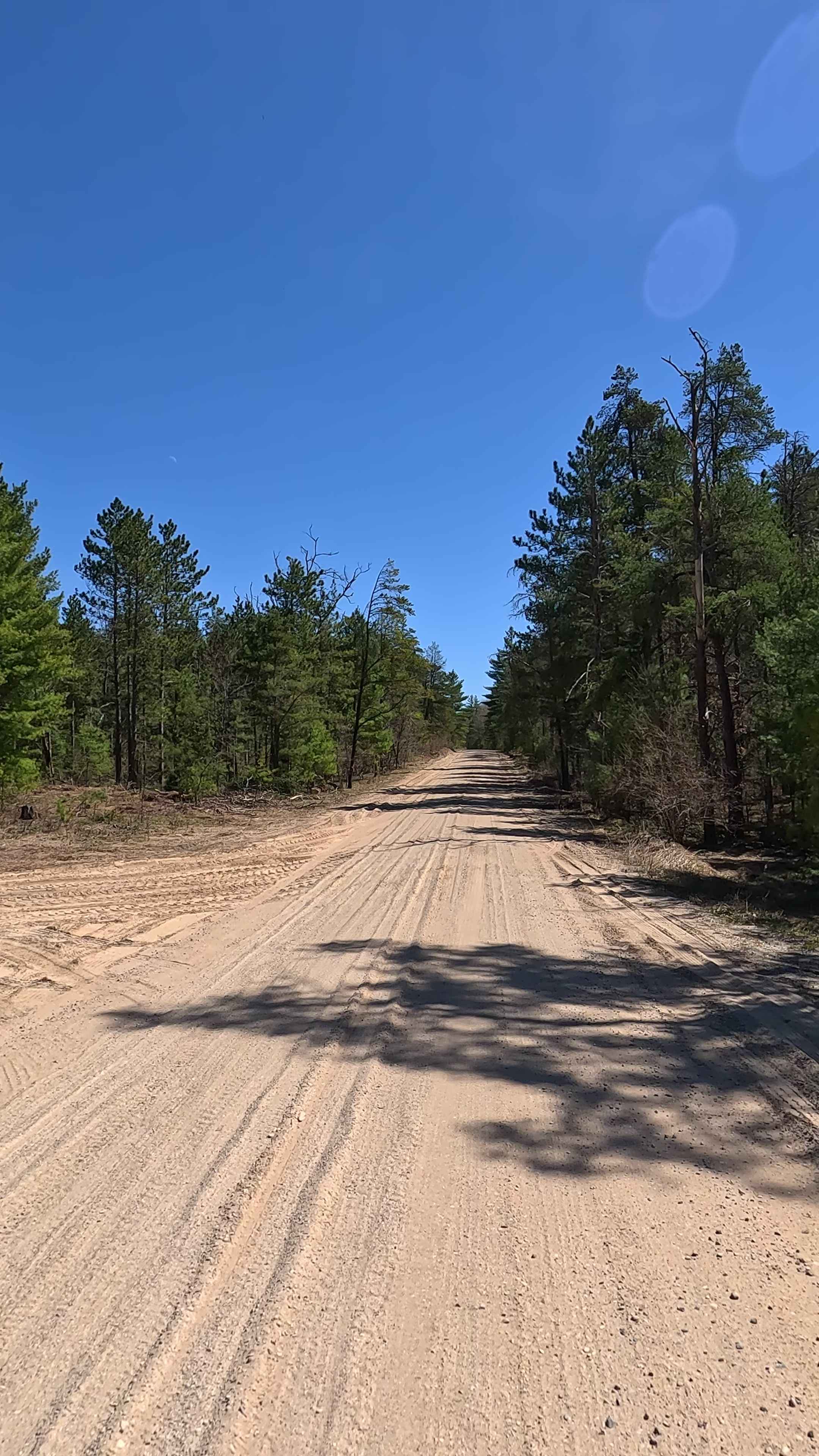
Photos of County Road CCZ
Difficulty
Dirt, gravel, sandy road, typically unmaintained after rain or snow that may give rise to shallow water crossings and obstacles under 12" on the trail, including small branches. This road is typically one to two vehicles in width that narrows down to a "Two-Track" route.
History
Bryan Creek in Gwinn, Michigan, is a Type 1 Trout Stream and a Special Conservation Area (SCA) with a historical connection to logging, as evidenced by the old Camp 10 logging camp and the related recreational trail (Camp 10 Road) in the area. The surrounding landscape also includes muskeg and poor conifer swamps, and the Bryan Creek Corridor itself is a designated SCA. History of the Area Camp 10: An old logging camp, Camp 10, was located in the area of the Bryan Creek Ecological Reference Area (ERA). Camp 10 Road: The snowmobile and recreational trail #32 is also known as Camp 10 Road, named after this historical logging camp. Early 20th-Century Activity: Scattered artifacts from the 1910-1940 period have been found in the vicinity, suggesting human activity during that time.
Status Reports
County Road CCZ can be accessed by the following ride types:
- High-Clearance 4x4
- SUV
- SxS (60")
- ATV (50")
- Dirt Bike
County Road CCZ Map
Popular Trails
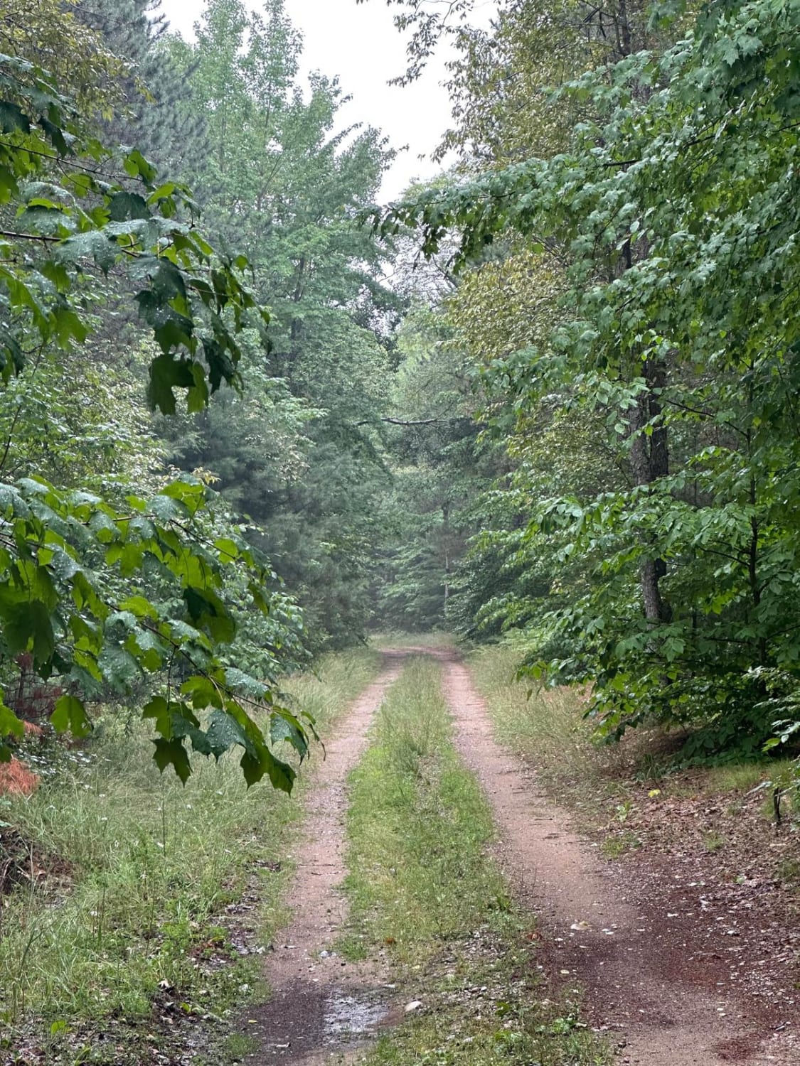
Brozofsky Road
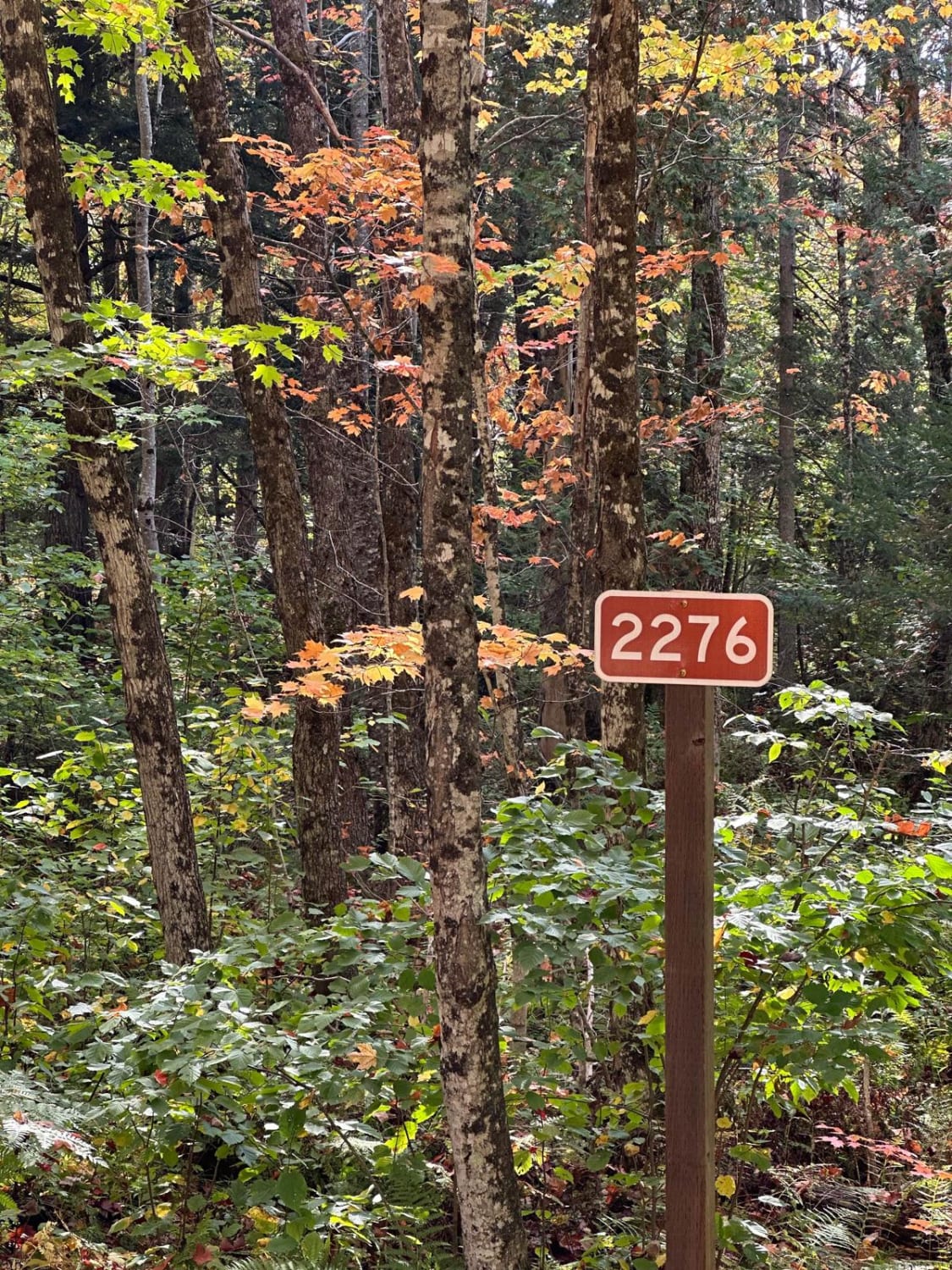
FS 2276 Part 1
The onX Offroad Difference
onX Offroad combines trail photos, descriptions, difficulty ratings, width restrictions, seasonality, and more in a user-friendly interface. Available on all devices, with offline access and full compatibility with CarPlay and Android Auto. Discover what you’re missing today!