Monks Trail
Total Miles
1.5
Technical Rating
Best Time
Spring, Summer, Fall, Winter
Trail Type
Full-Width Road
Accessible By
Trail Overview
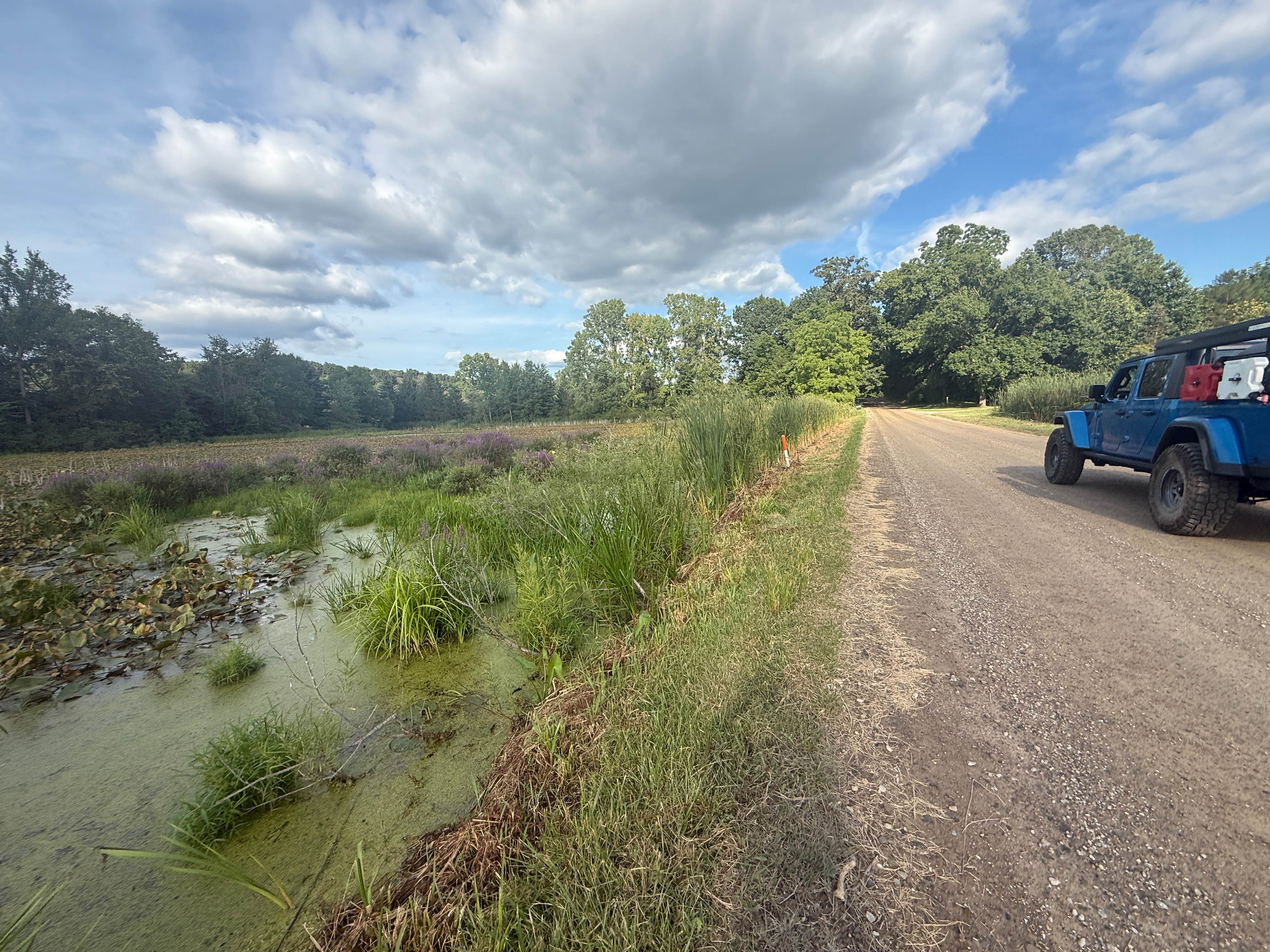
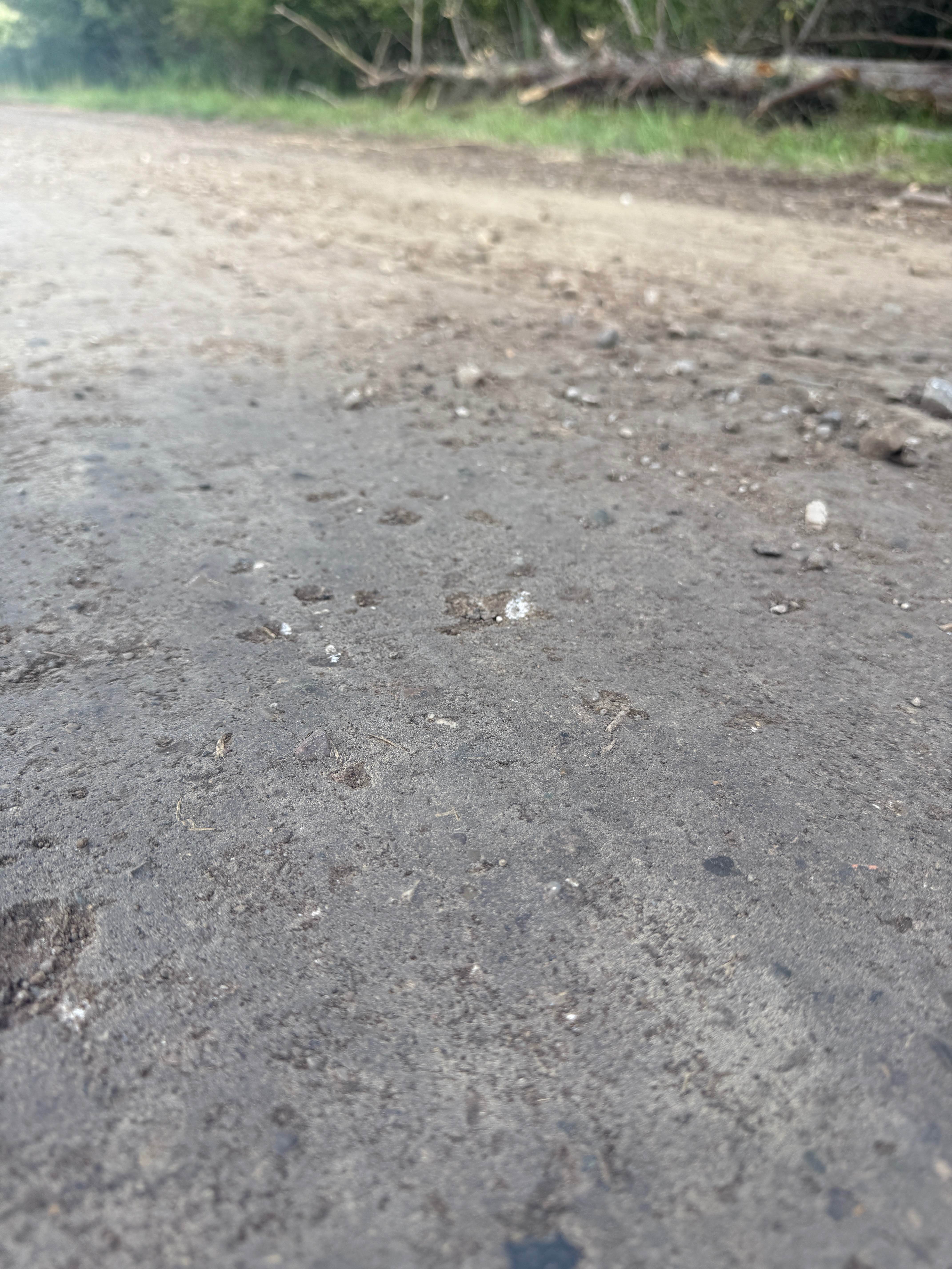
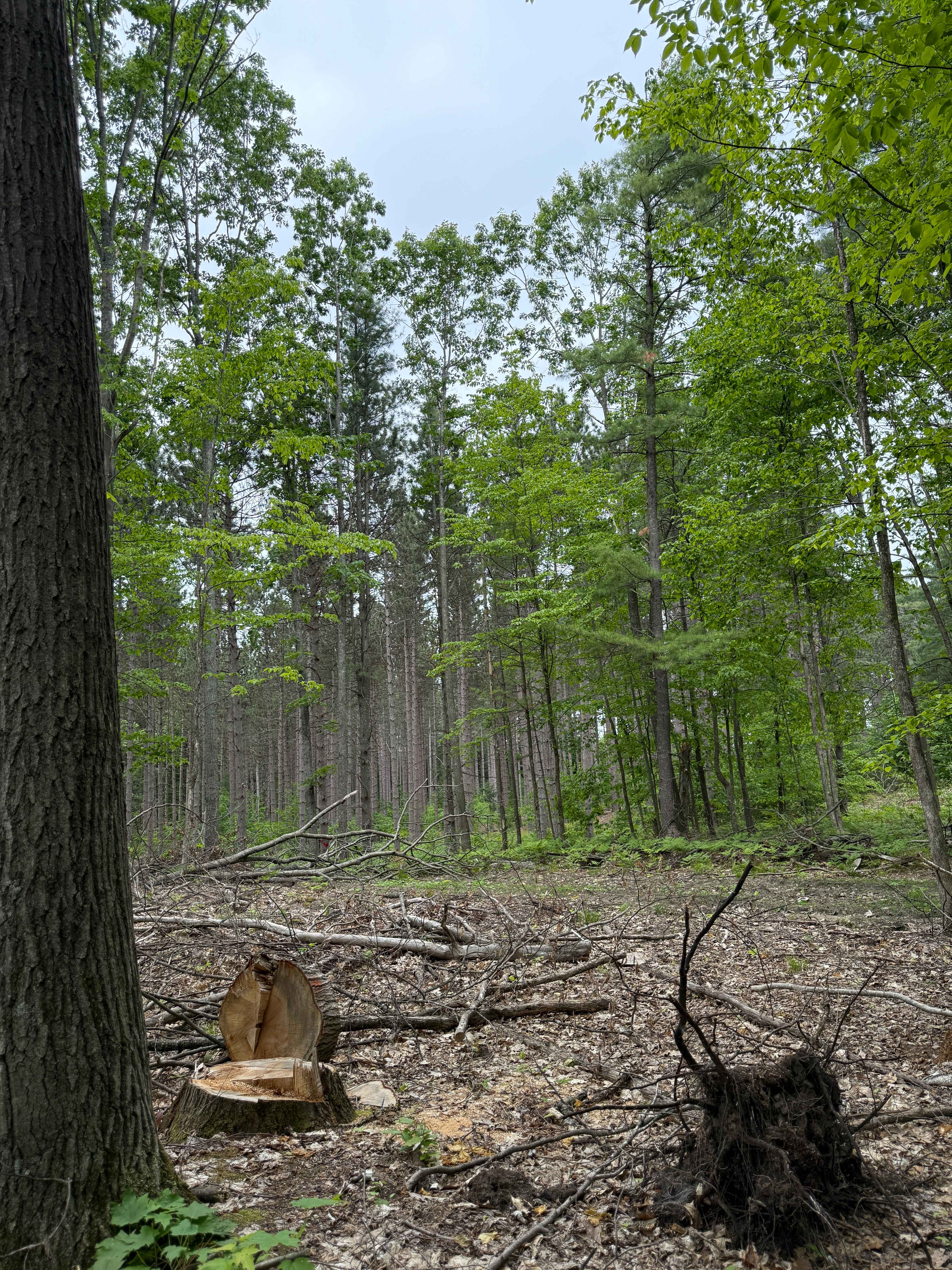
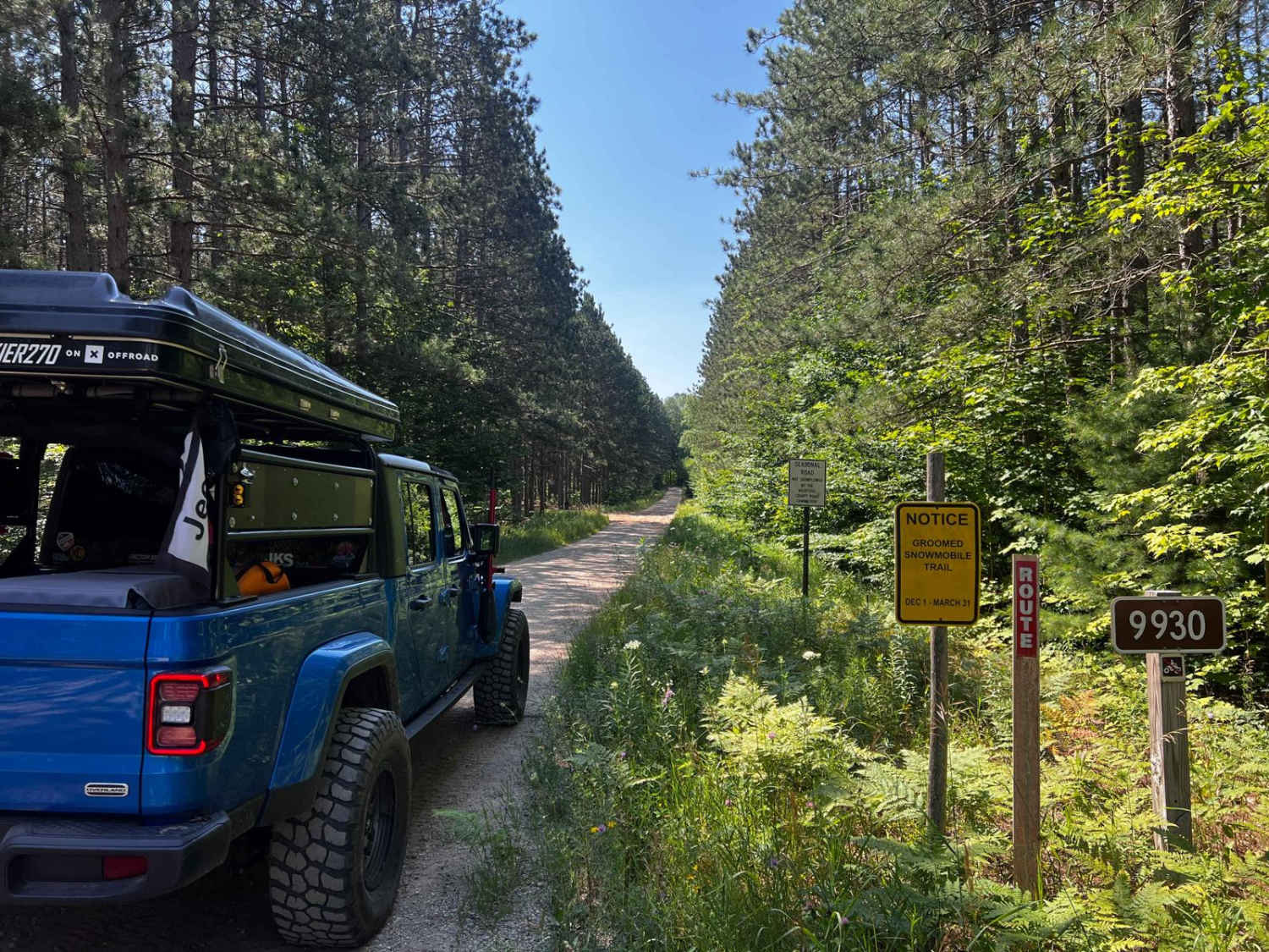
Monks Trail is a 1.5-mile bidirectional trail within the Pinckney State Rec Area. Located between Cedar Lake Trail and Kelly Trail just south of Putnam Township, this trail is easily accessible. Starting from the western end of Kelly Road, you'll start out on a dirt/gravel route that is surrounded by trees, tall grass, and some off-trail water. You'll find your way through the trees and come across the Monks Road Equestrian Trailhead. Further down the trail, you'll travel through a thicker section of towering trees and lush vegetation edging the trail. This trail also had the Pinckney Rec Area Equestrian trail as well as the Bridle hiking trail. Be sure to check both of those out. Please TREAD LIGHTLY so future generations can enjoy these public spaces. Like most of Michigan trails, conditions are dependent on the weather. Recent rainfall can cause unfavorable conditions on the trail, including downed trees, mud holes, and washouts. Come Prepared! Most of this trail is wide enough for 2 vehicles, but there are limited places to pass. This is not a difficult trail at all, but it does contain a lot of interesting features. This trail also gives access to other great trails nearby. The eastern end of the trail finishes at Cedar Lake Trail, so if you haven't yet, make sure you check that one out! Regardless of the conditions of this trail, it's a fun route to check out! As always, PLEASE TREAD LIGHTLY and be respectful of our public lands so future generations can have access to these trails!
Photos of Monks Trail
Difficulty
The technical rating and difficulty were given a one because it's a dirt road with gentle grades. This trail is safe for all vehicle types and is two vehicles wide.
Status Reports
Monks Trail can be accessed by the following ride types:
- High-Clearance 4x4
- SUV
Monks Trail Map
Popular Trails
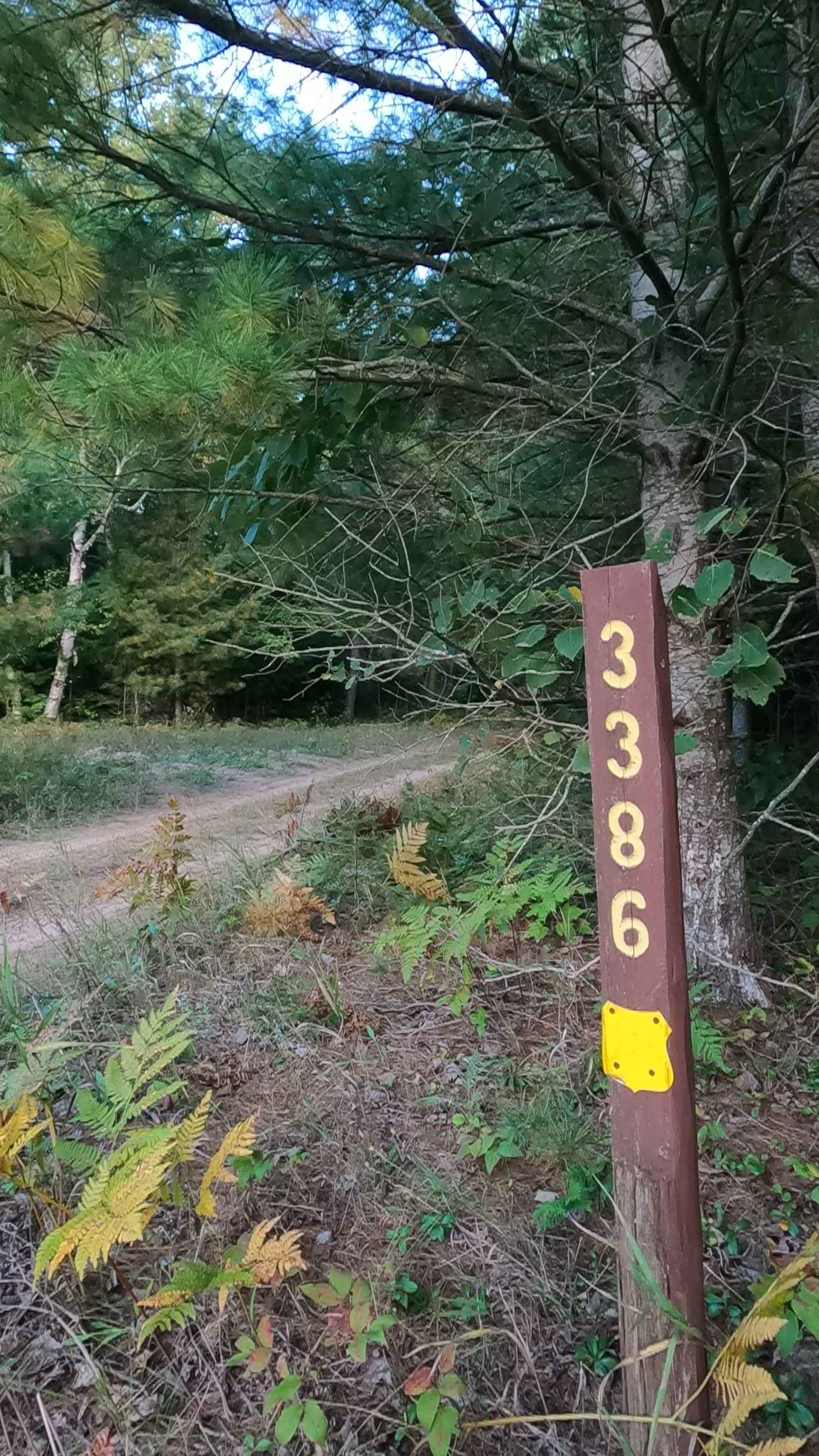
Carp Haul - FS 3386
Bowman Trail West
The onX Offroad Difference
onX Offroad combines trail photos, descriptions, difficulty ratings, width restrictions, seasonality, and more in a user-friendly interface. Available on all devices, with offline access and full compatibility with CarPlay and Android Auto. Discover what you’re missing today!