Katy's Loop
Total Miles
0.5
Technical Rating
Best Time
Spring, Summer, Fall, Winter
Trail Type
Full-Width Road
Accessible By
Trail Overview
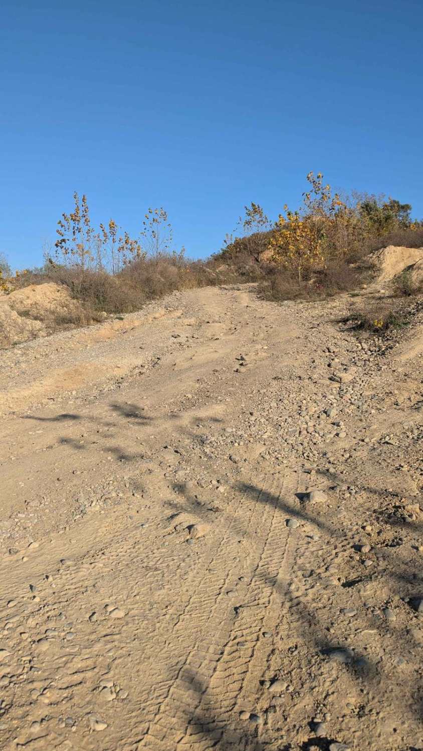
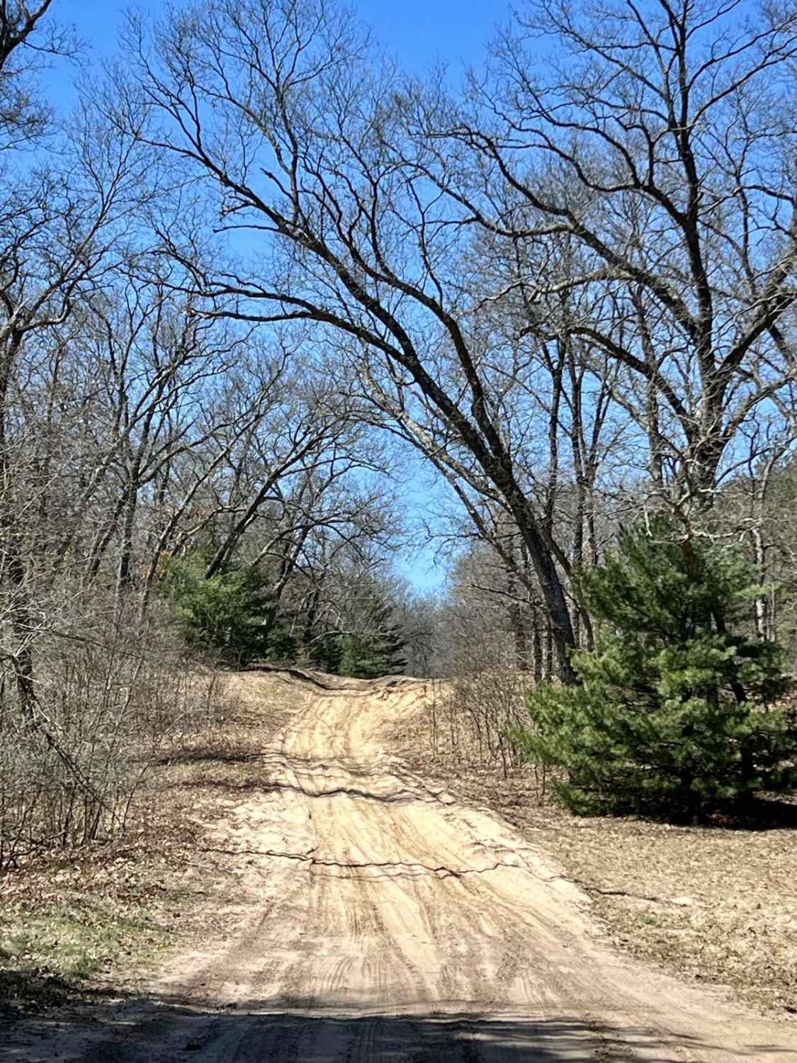
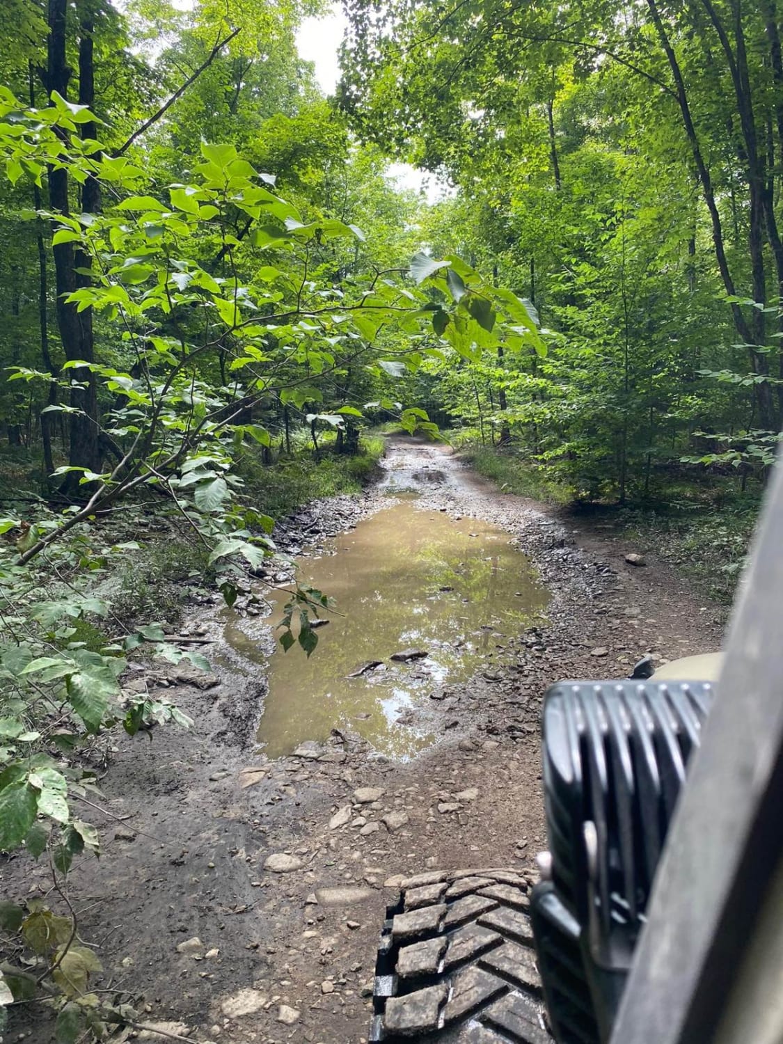
This trail is sandy with little rocks and loops around the far back area of the park. It's easy to drive and in most areas wide enough for two vehicles. There is a section near the Northwest Corner that has standing water. The water can be deep if it's been wet. Be cautious. The trail currently dead ends at the portion of the park that is still being mined.
Photos of Katy's Loop

Difficulty
If it's been raining, the standing water near the Northwest Corner could be deep.
Status Reports
Katy's Loop can be accessed by the following ride types:
- High-Clearance 4x4
- SUV
- SxS (60")
- ATV (50")
- Dirt Bike
Katy's Loop Map
Popular Trails
NFS 9847/Cedar Creek Motorsport Trailhead

Brown Trail

Tight Twiddler Trail
The onX Offroad Difference
onX Offroad combines trail photos, descriptions, difficulty ratings, width restrictions, seasonality, and more in a user-friendly interface. Available on all devices, with offline access and full compatibility with CarPlay and Android Auto. Discover what you’re missing today!