Forest Service Road 8259
Total Miles
2.5
Technical Rating
Best Time
Spring, Summer, Winter, Fall
Trail Type
Full-Width Road
Accessible By
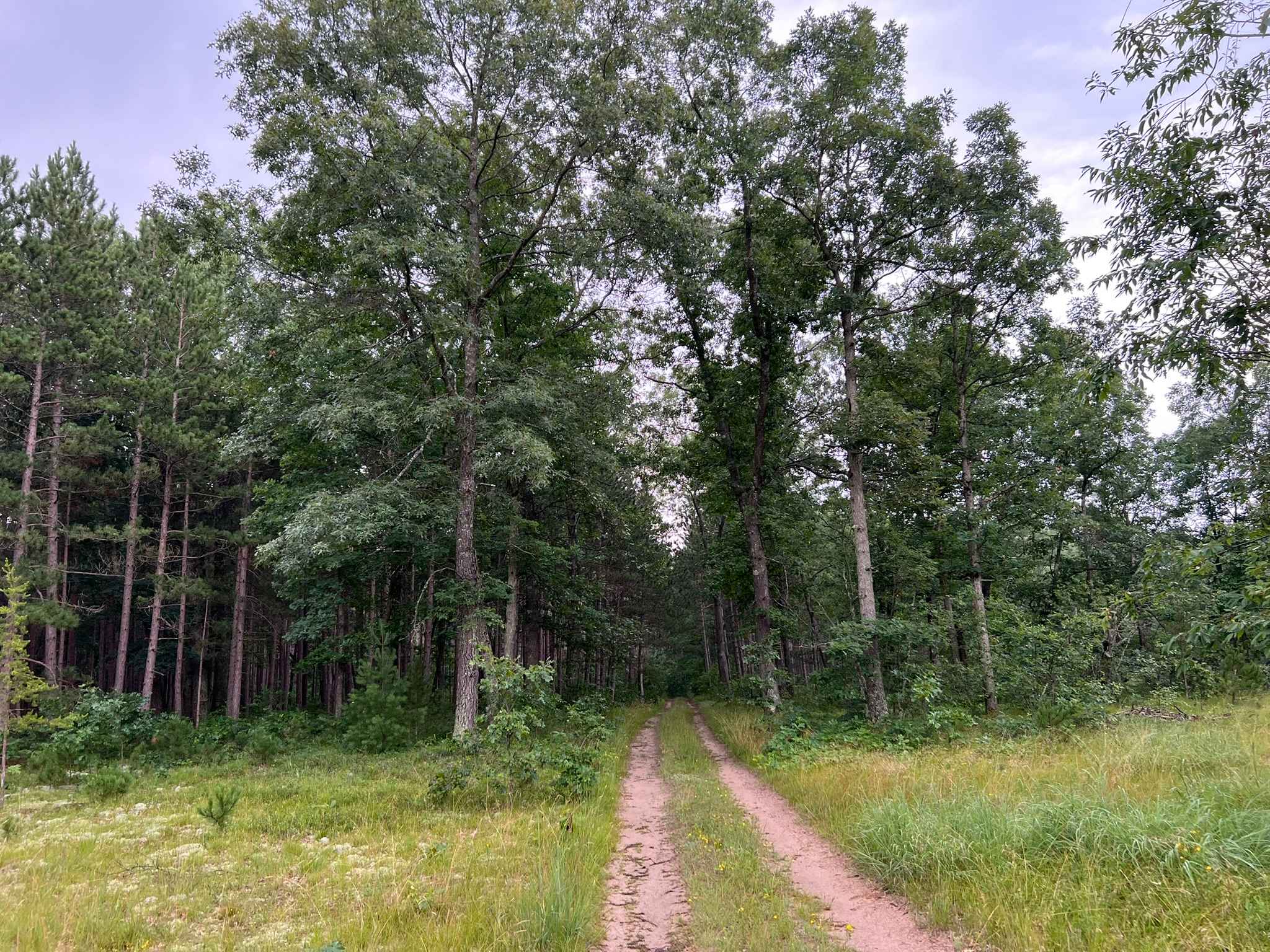
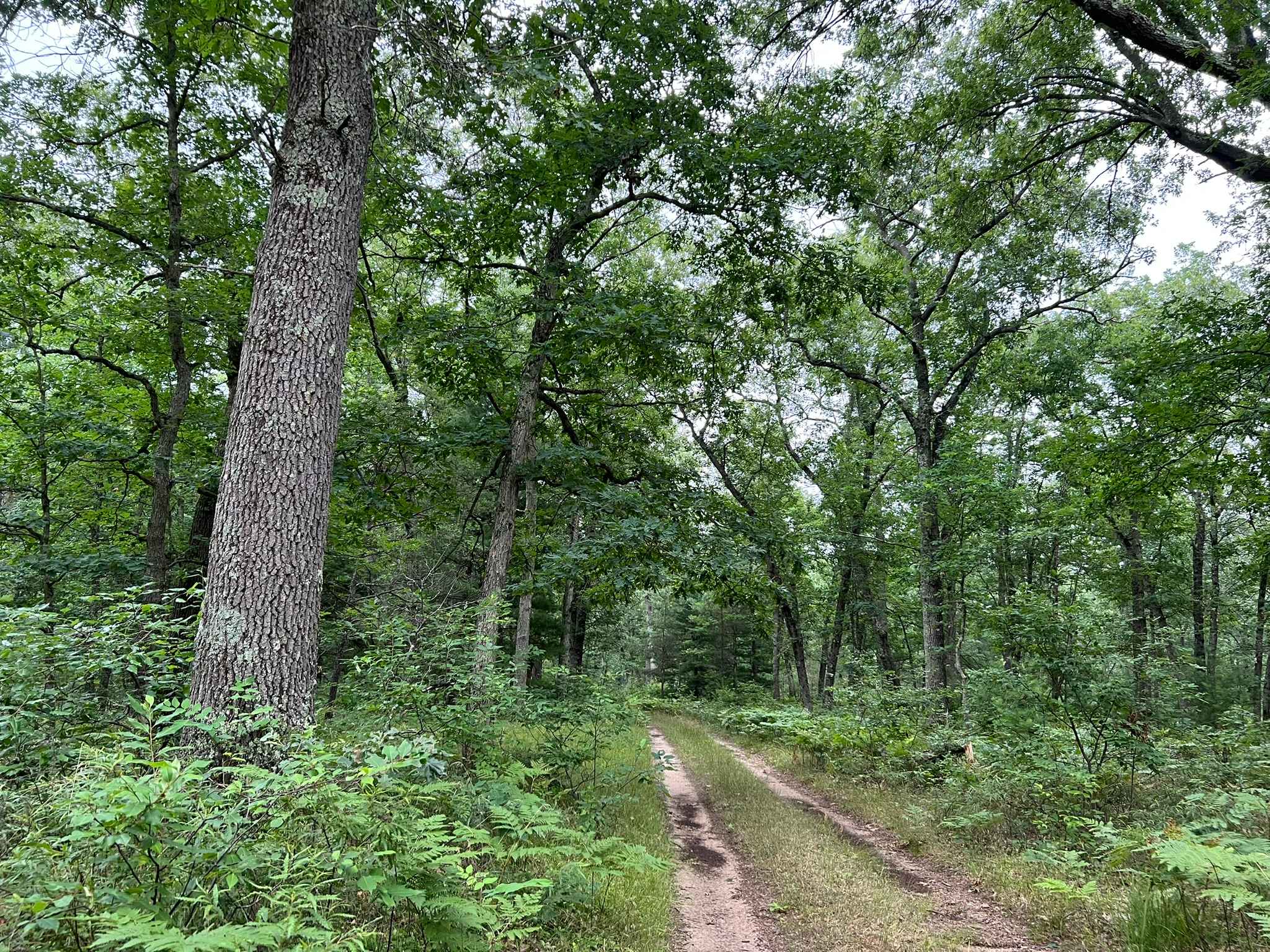
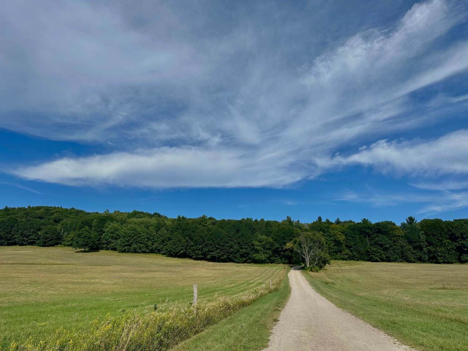
Trail Overview
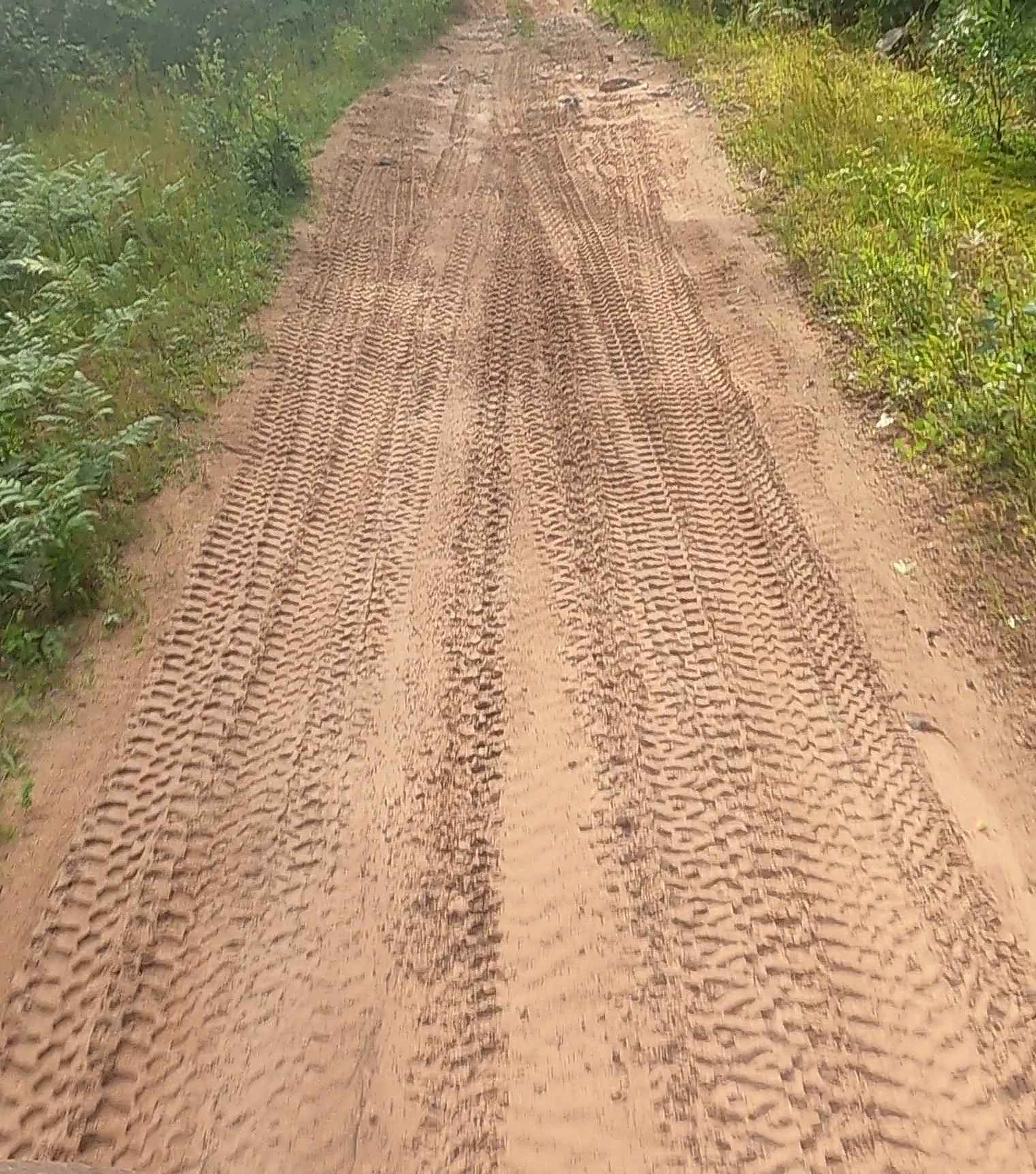
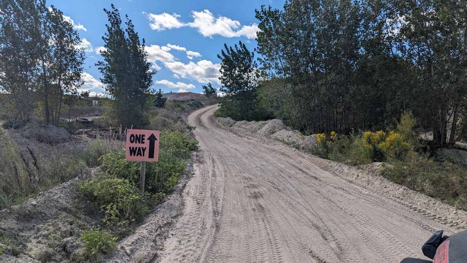
Forest Service Road 8259 is located in the Manistee National Forest. This trail runs from its intersection with Old Stonarch Road to East County Line Road. The trail is located on the Western Edge of the Manistee National Forest. Roughly 15 minutes southwest of the town of Manistee. The trail is a tight two-track that runs through mature, slow-rolling hardwood forests, with the occasional pine tree. Trail undergrowth is limited compared to some trails in this area; however, wider rigs will struggle not to brush up against bushes and branches for most of the trail's length. The trail surface is hard-packed sand, which allows for easy traversing when traveling in a less capable vehicle. While this trail is technically open year round the winter months can be challenging depending on the amount of snow the area receives. This trail is typically not plowed in the winter months, but with the right rig, the trail can be completed.
Photos of Forest Service Road 8259
Difficulty
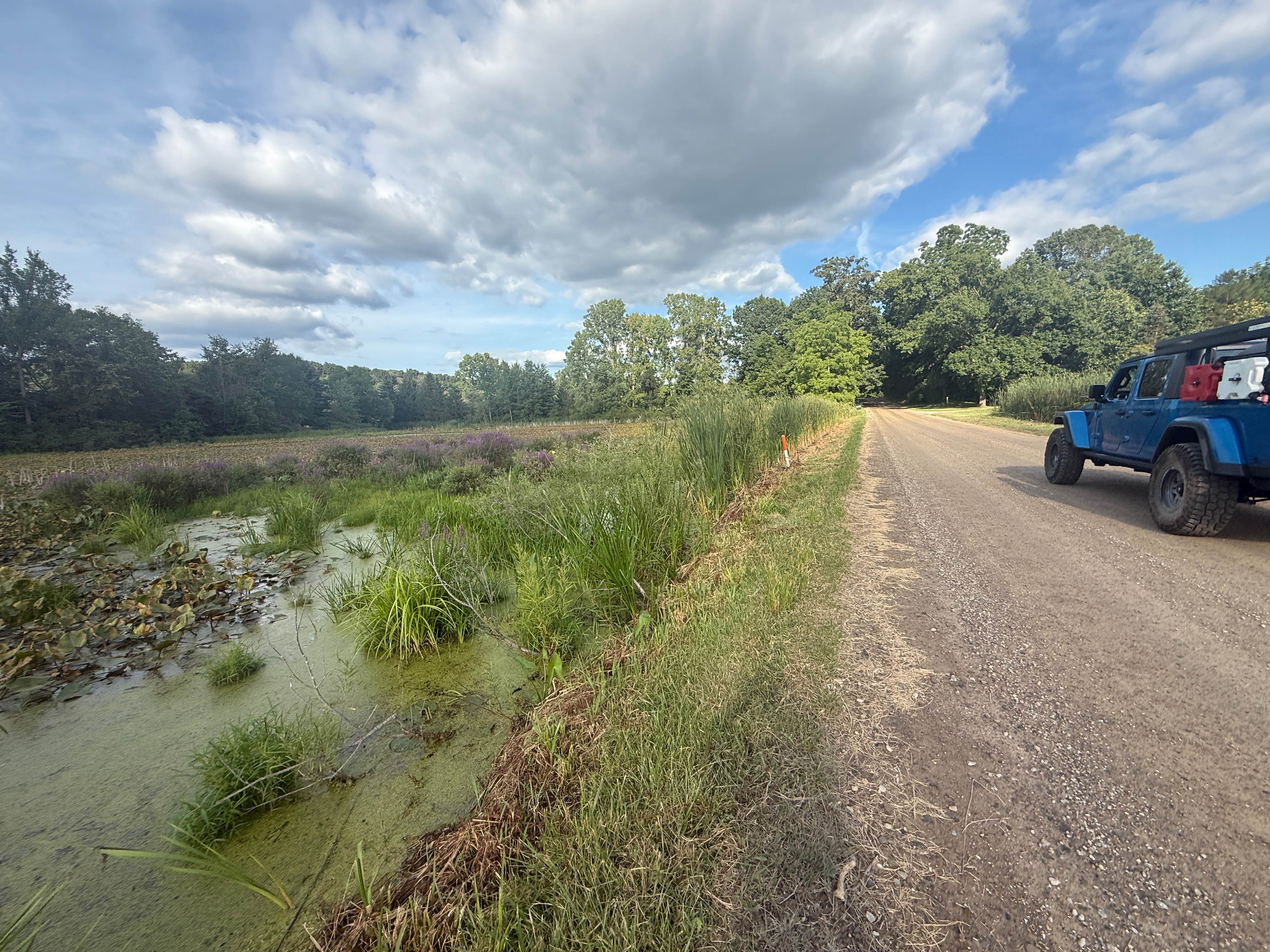
This trail can be easily completed by any experience level of navigator, as well as a wide range of vehicle types. Vehicles with a light 4x4 system should be able to complete this trail, as long as it is not too wet. The trail is very narrow, and allowing vehicles to pass each other can be challenging. Some areas of the trail will require a good amount of reversing in order to find an area wide enough to accommodate vehicles passing. Several blind corners do not allow easy viewing of the oncoming trail. Additionally, some of the vegetation along the trail will also block views.
Status Reports
Forest Service Road 8259 can be accessed by the following ride types:
- High-Clearance 4x4
- SUV
- SxS (60")
- ATV (50")
Forest Service Road 8259 Map
Popular Trails
Monks Trail
South Baker Road
Aetna Mine Road
Noyes Boulevard
The onX Offroad Difference
onX Offroad combines trail photos, descriptions, difficulty ratings, width restrictions, seasonality, and more in a user-friendly interface. Available on all devices, with offline access and full compatibility with CarPlay and Android Auto. Discover what you’re missing today!