Aetna Mine Road
Total Miles
2.7
Technical Rating
Best Time
Spring, Summer, Fall
Trail Type
60" Trail
Accessible By
Trail Overview
This is an intermediate-level road designated for ATVs and SXSs only.
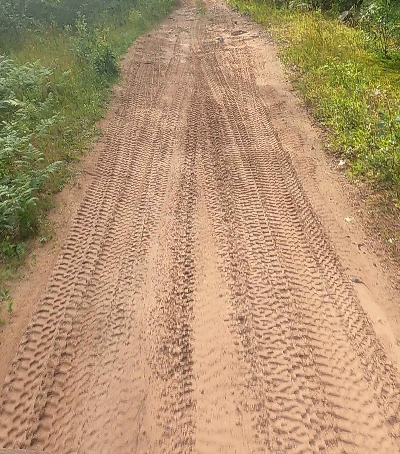
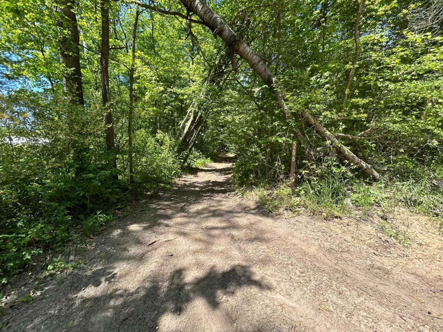
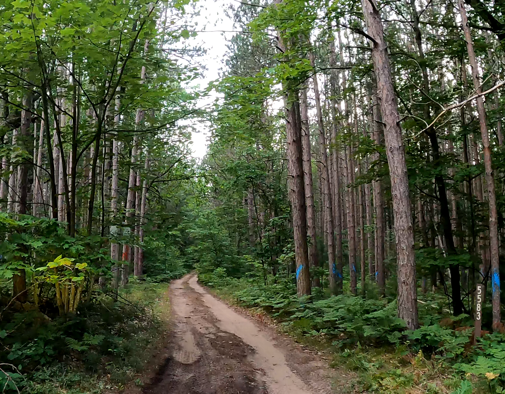
Photos of Aetna Mine Road

Difficulty
Uneven, rutted dirt trail with loose rocks, sand, erosion, and washes. Potential water crossings up to a foot deep, mud holes, and obstacles up to 18", including ledges and short, steep grades. Roads are typically one vehicle wide with places to pass.
History
The name "Aetna mine" in Grant Township, Michigan, refers to the "New York and Michigan Exploration," a short-lived copper mine near Copper Harbor in Keweenaw County. The mine was briefly operated by the New York and Michigan Mining Company in the 1840s and 1850s. It is distinct from the agricultural Aetna Township in Mecosta County, Michigan. The New York and Michigan Exploration (Aetna mine). The history of this small copper mine was one of quick booms and equally rapid busts. Early exploration: The New York and Michigan Mining Company was formed in 1845, a year after state geologist Douglass Houghton's 1841 report had sparked a rush of prospectors to the Keweenaw Peninsula. Initial operation: In 1846, the company began operations and sank a shaft to a depth of 84 feet. However, it was abandoned only a year later, in 1847. Second attempt: The mine was reopened in 1852, with miners deepening the shaft to 150 feet. That same year, about 1,800 pounds of copper were recovered. Closure: Despite this initial recovery, the mine was abandoned again in 1853, ending its short productive life. The Aetna mine's history is representative of many early Keweenaw mining ventures, which were largely speculative and often unsuccessful. The area is rich in native copper deposits and prehistoric mining sites, where indigenous peoples extracted copper, guiding many 19th-century prospectors. While the Aetna mine failed, other companies, like the Cliff Mine and the later Calumet and Hecla (C&H), achieved massive success and made Michigan the leading copper producer for decades. Many mines in Grant Township and Keweenaw County were short-lived, with ventures like the Vulcan mine also ceasing operations due to insufficient manpower or investment.
Aetna Mine Road can be accessed by the following ride types:
- SxS (60")
- ATV (50")
Aetna Mine Road Map
Popular Trails

Little Fox River
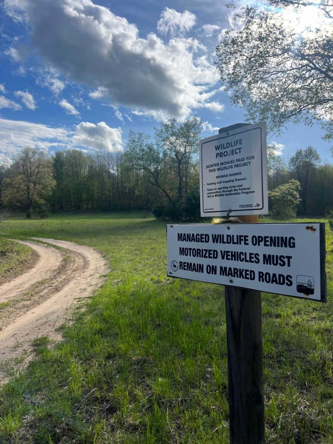
Wildlife Project Trail
The onX Offroad Difference
onX Offroad combines trail photos, descriptions, difficulty ratings, width restrictions, seasonality, and more in a user-friendly interface. Available on all devices, with offline access and full compatibility with CarPlay and Android Auto. Discover what you’re missing today!