Fisher Road - FS 3005 (ORV Route Ai)
Total Miles
2.7
Technical Rating
Best Time
Spring, Summer, Fall
Trail Type
Full-Width Road
Accessible By
Trail Overview
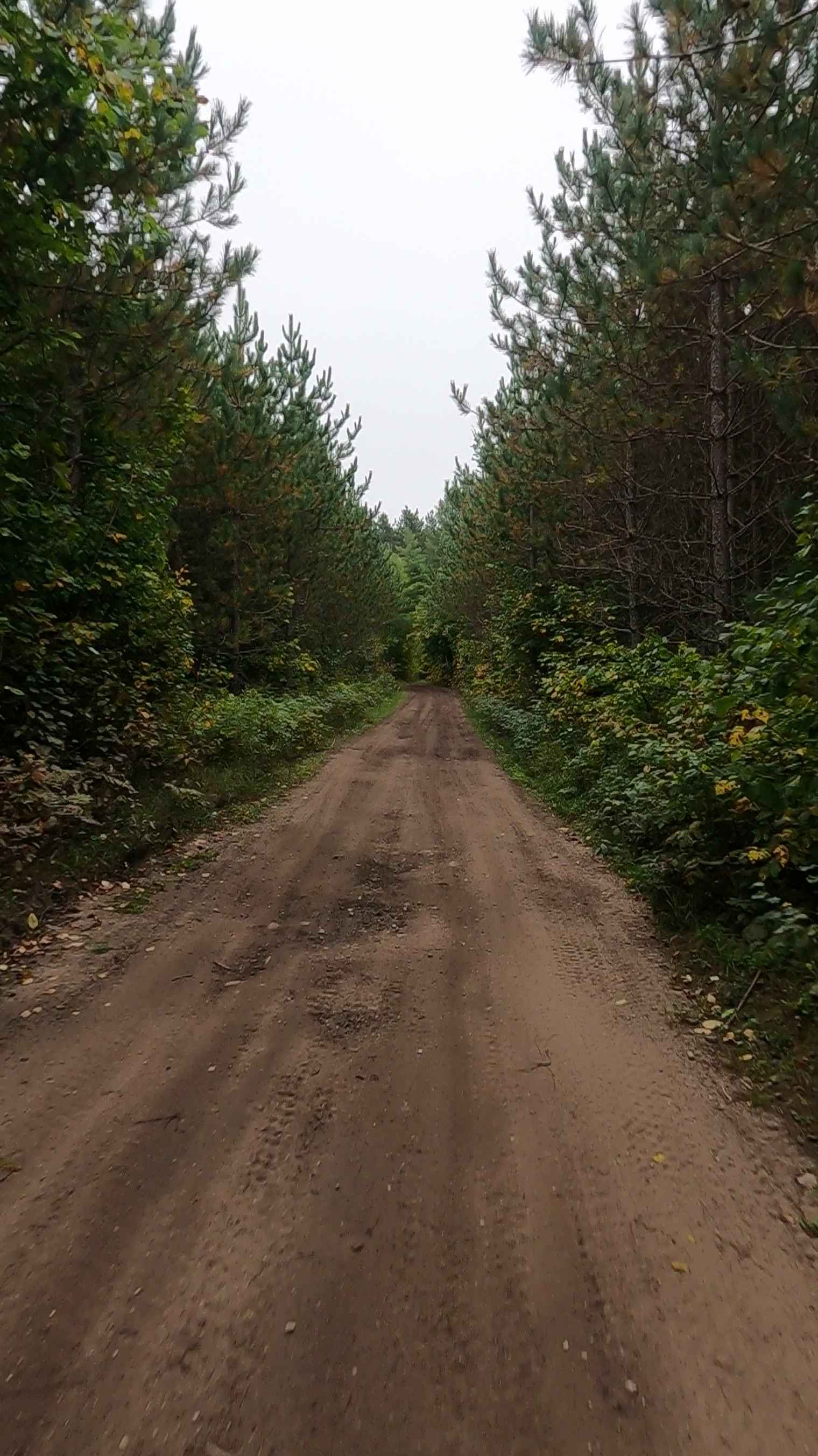
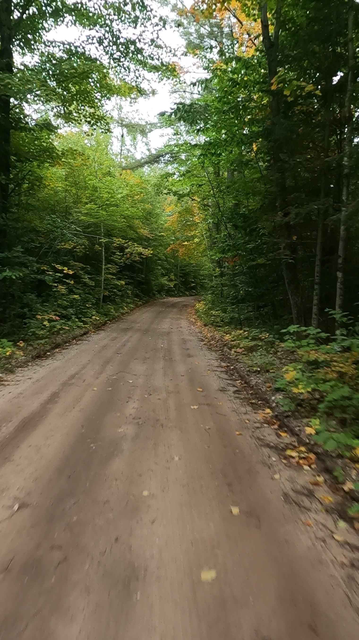
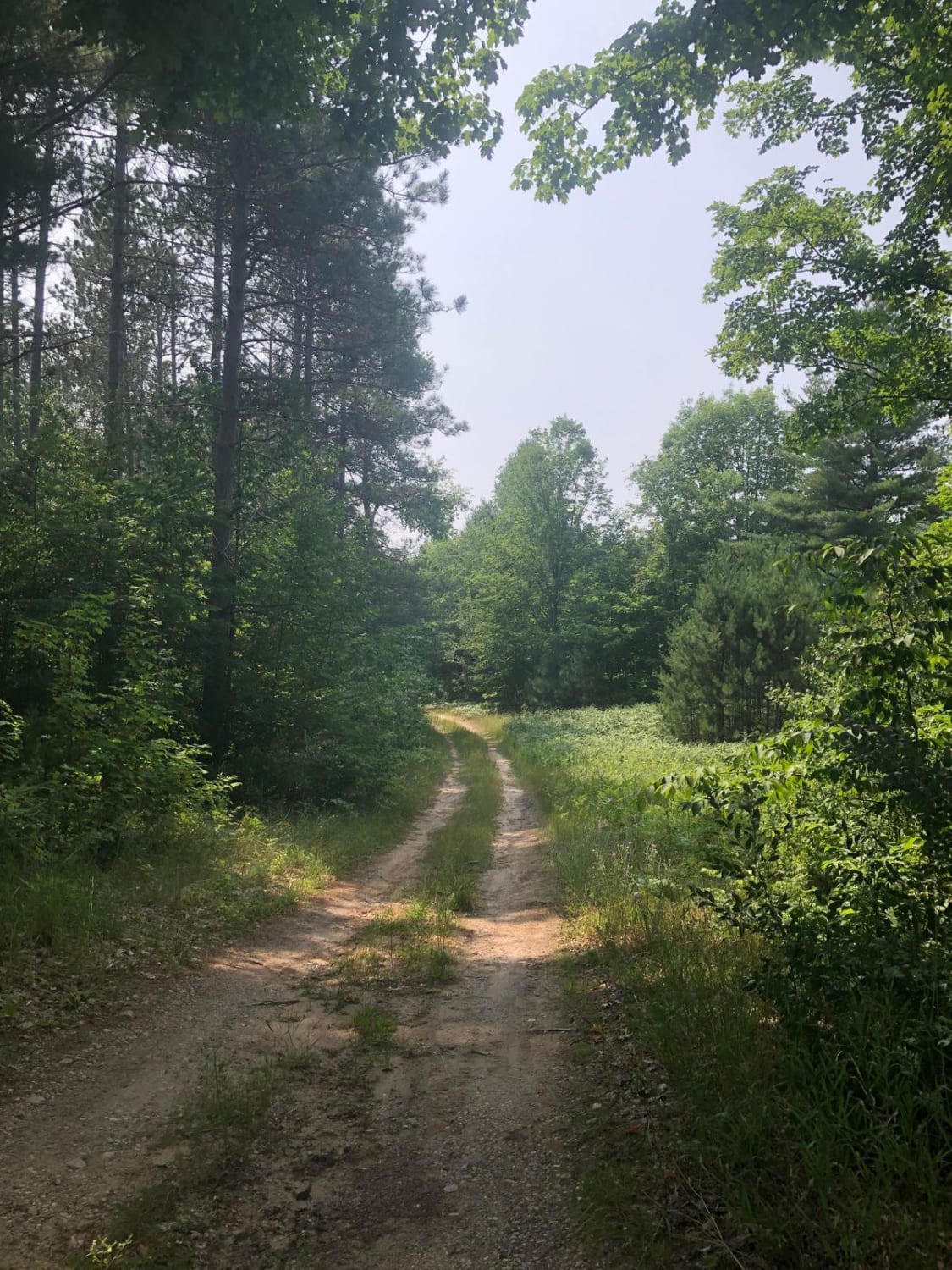
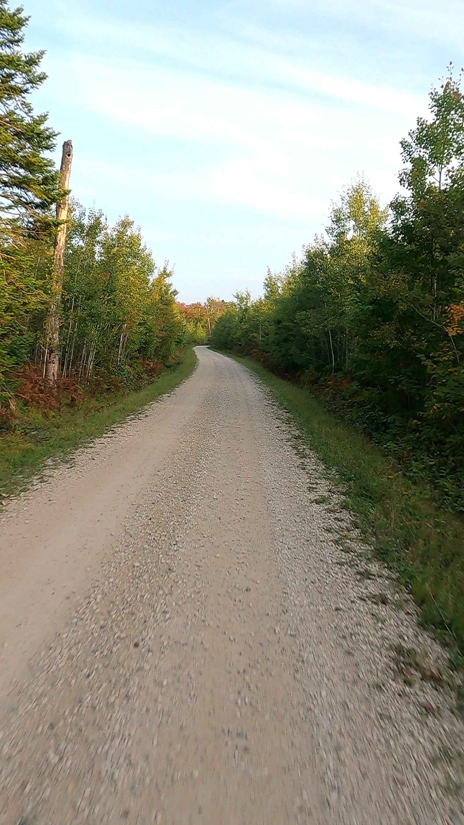
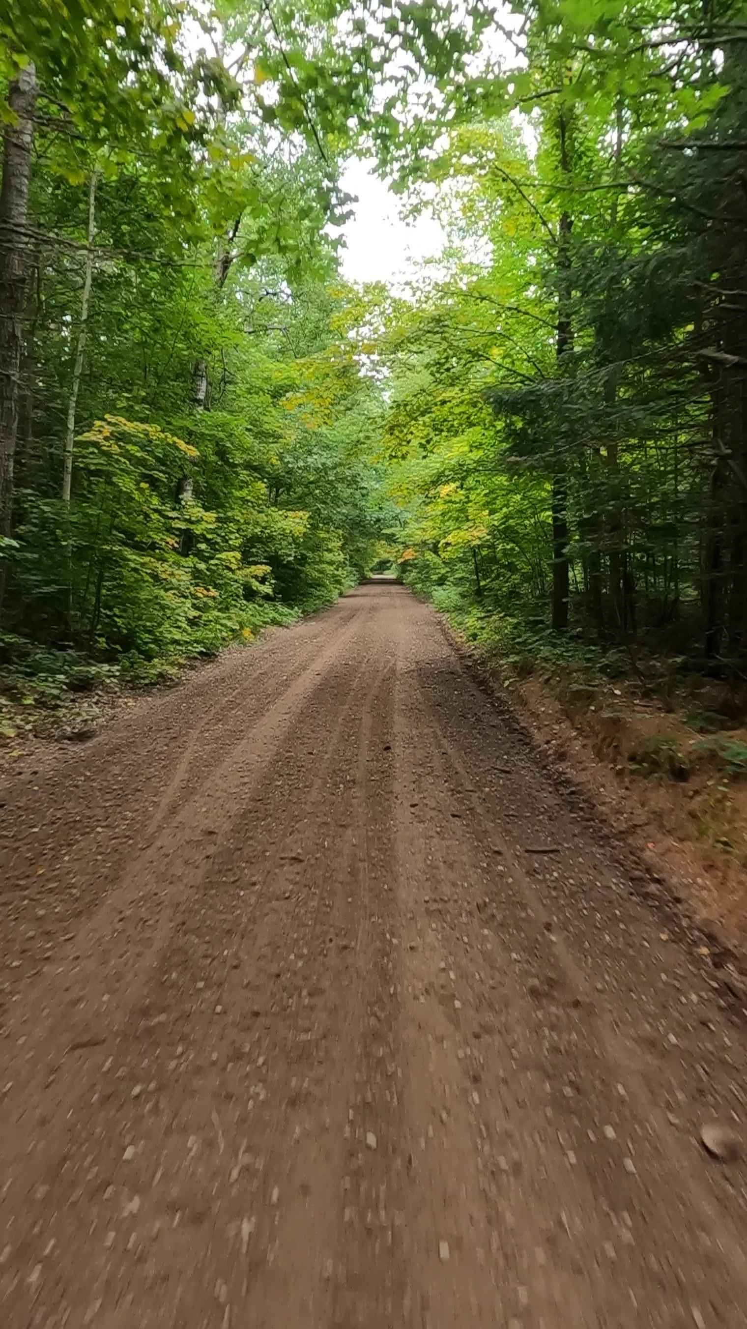
Fisher Road is a state-owned/ locally maintained, Level-2 Forest Access Route with a surface composition of dirt, sand, grass, and native material. This route is currently open and in fair condition. It is a portion of the designated DNR routes known as ORV Route Ai and the Newberry-Rexton Motorcycle ORV Trail (NRM). From west to east, this route connects Dinkey Line Road and Trout Lake Road. Description created on September 18, 2025.
Photos of Fisher Road - FS 3005 (ORV Route Ai)
Difficulty
Dirt, sand, and gravel road, unmaintained after rain or snow, which may give rise to water crossings up to 12 inches and obstacles on the trail, including small branches. This road is typically one to two vehicles in width, which narrows down to a "Two Track" road.
History
This trail is primarily maintained and utilized for forest management by the Michigan DNR, acting as access for forest surveys and timber management in the surrounding state-owned land. The area was heavily influenced by historic logging operations, with several old logging grades and at least one CCC (Civilian Conservation Corps) camp located south of the compartment.
Status Reports
Fisher Road - FS 3005 (ORV Route Ai) can be accessed by the following ride types:
- High-Clearance 4x4
- SUV
- SxS (60")
- ATV (50")
- Dirt Bike
Fisher Road - FS 3005 (ORV Route Ai) Map
Popular Trails
North Reynolds Loop

S/W Little Manistee Motorcycle Trail
West Bow - FS 3129
Rhody Creek Truck Trail/County Road 743 - FS 3080
The onX Offroad Difference
onX Offroad combines trail photos, descriptions, difficulty ratings, width restrictions, seasonality, and more in a user-friendly interface. Available on all devices, with offline access and full compatibility with CarPlay and Android Auto. Discover what you’re missing today!