Rhody Creek Truck Trail/County Road 743 - FS 3080
Total Miles
7.0
Technical Rating
Best Time
Spring, Summer, Fall
Trail Type
Full-Width Road
Accessible By
Trail Overview
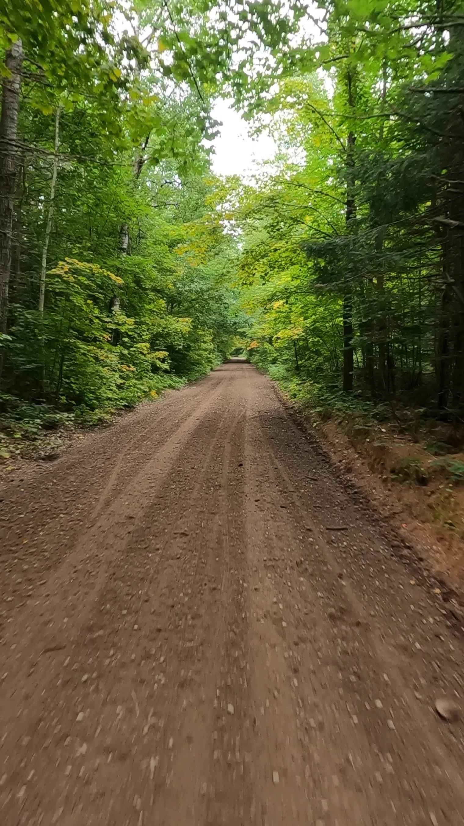
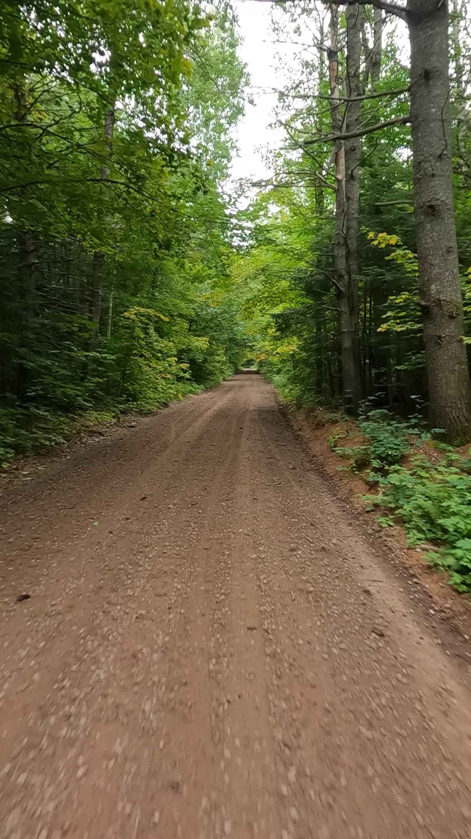
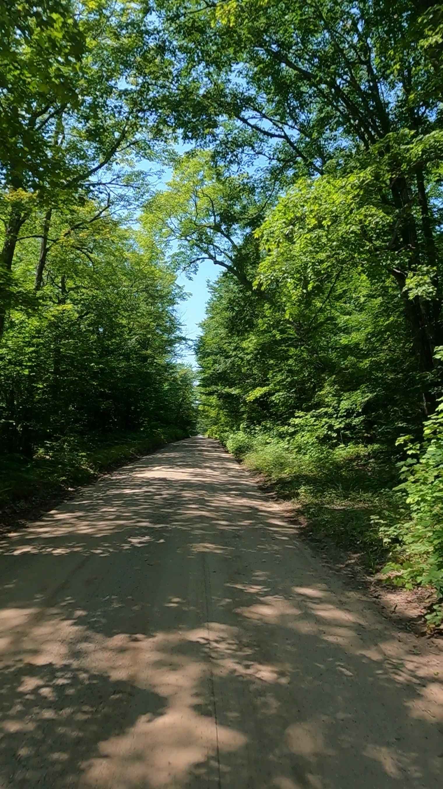
Federal Forest Service Road (FS) 3080, also known as Rhody Creek Truck Trail/ County Road 743, is a federally owned/ locally maintained, Level-2/ Level-3 forest road with a surface composition of dirt, sand, gravel, and native material. Most portions of this route are currently open; 1 residential and 1 logging portion close seasonally. It is in fair condition, it is not a DNR road (ORV use is subject to local government regulations), and it connects Adams Trail to Lavender Lake Road, Moccasin Lake Road, Hurricane River Trail, Beaver Meadow Road, and H-58. Description created on September 10, 2025.
Photos of Rhody Creek Truck Trail/County Road 743 - FS 3080
Difficulty
Dirt, gravel, sandy road, typically unmaintained after rain or snow, that may give rise to shallow water crossings and obstacles under 12 inches on the trail, including small ledges. This road is typically one to two vehicles in width, with some portions narrowing down to a "Two Track" road.
History
The Rhody Creek Trail (often referred to as the Rhody Creek Truck Trail) near Grand Marais, Michigan, is a 5.6-mile, moderately difficult route often used as an alternative route to the town, featuring forested scenery, wetlands, and a creek. It historically functioned as a dog sled trail and later as a snowmobile route before being heavily used as a, at times, contentious, rustic 2-track, and has been subject to recent closures.
Rhody Creek Truck Trail/County Road 743 - FS 3080 can be accessed by the following ride types:
- High-Clearance 4x4
- SUV
- SxS (60")
- ATV (50")
- Dirt Bike
Rhody Creek Truck Trail/County Road 743 - FS 3080 Map
Popular Trails


Burma Grade Spur F - FS 3124F
Pohlman Drive

Fisherman's Trail
The onX Offroad Difference
onX Offroad combines trail photos, descriptions, difficulty ratings, width restrictions, seasonality, and more in a user-friendly interface. Available on all devices, with offline access and full compatibility with CarPlay and Android Auto. Discover what you’re missing today!