Pohlman Drive
Total Miles
2.6
Technical Rating
Best Time
Spring, Summer, Fall
Trail Type
Full-Width Road
Accessible By
Trail Overview
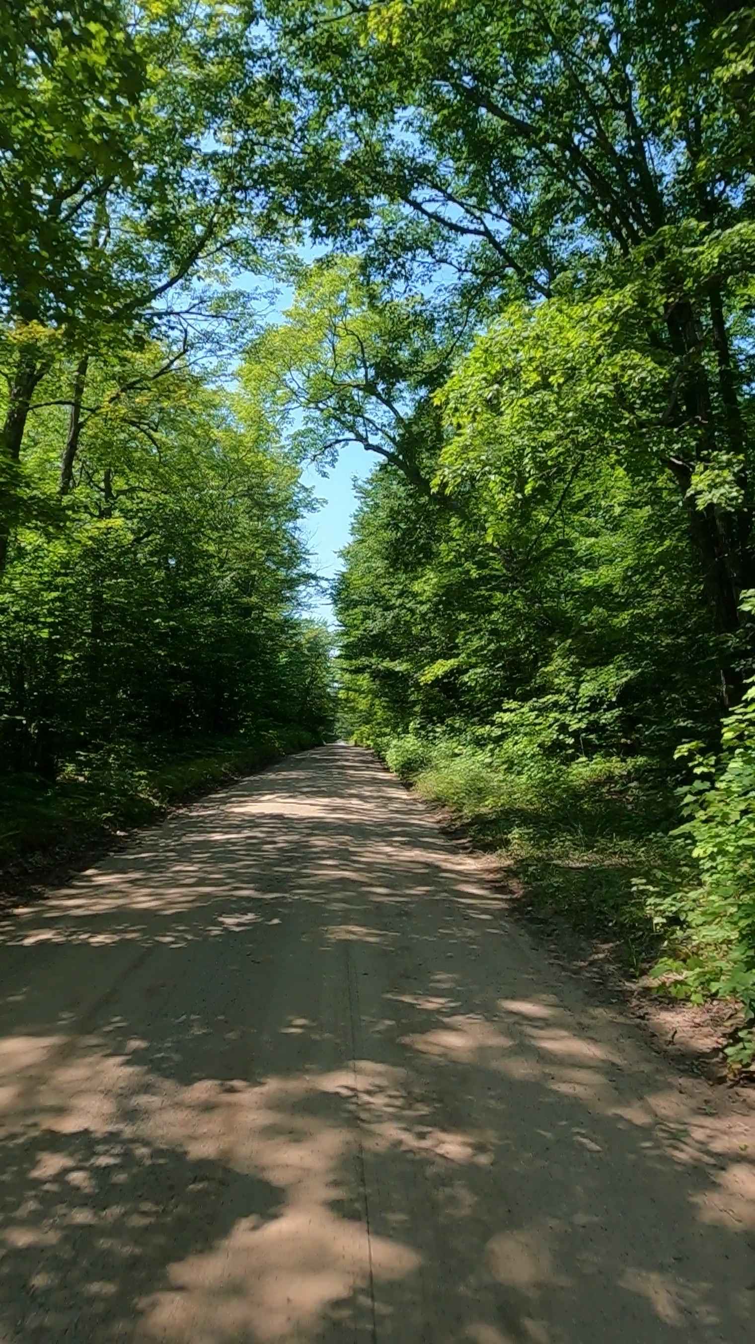
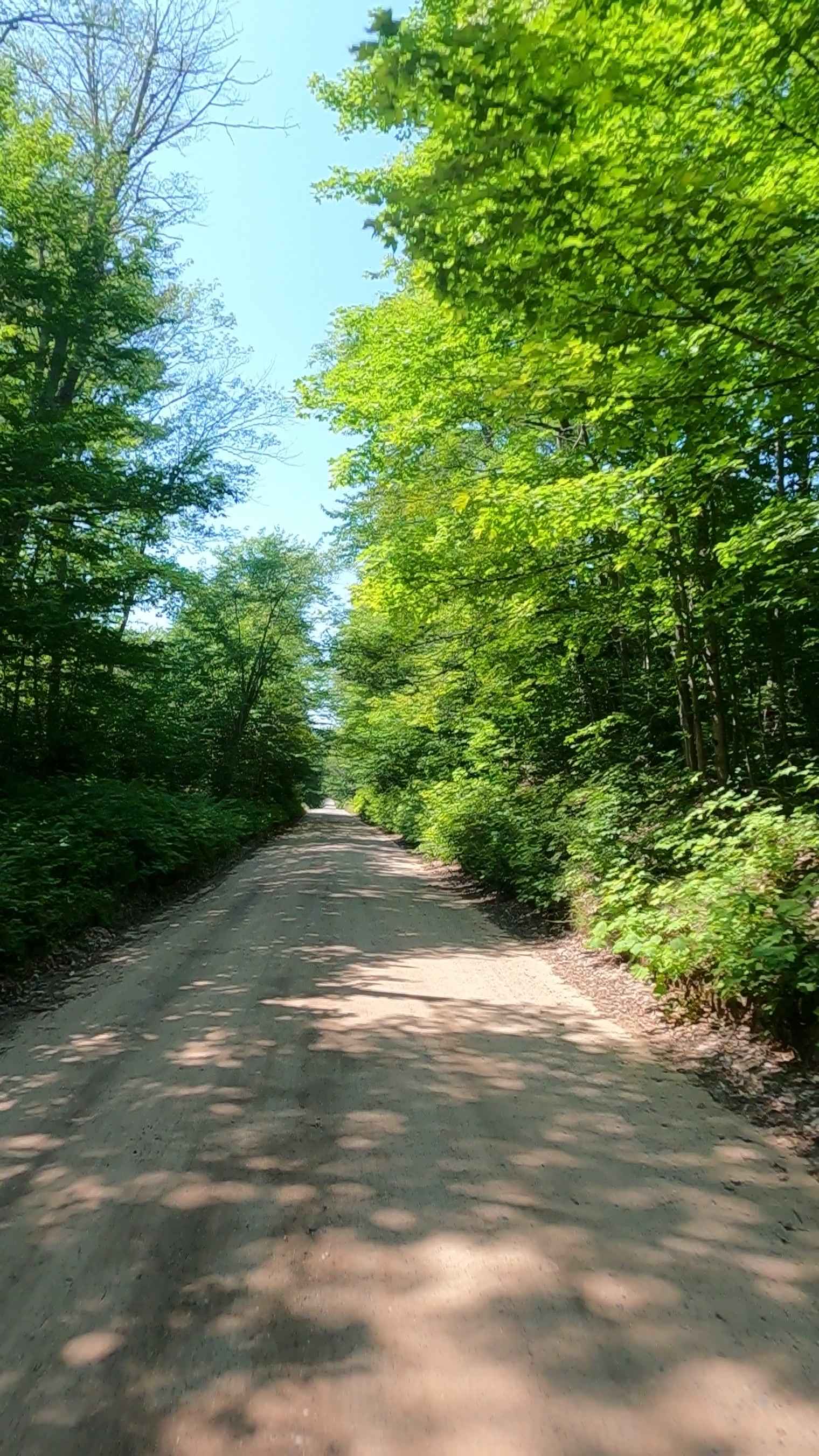
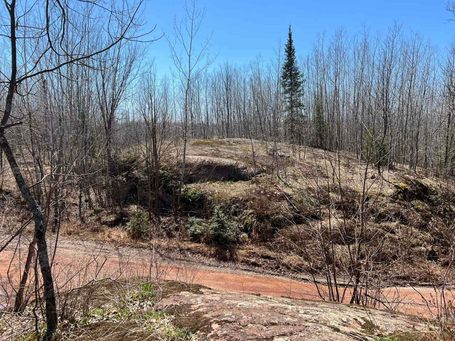
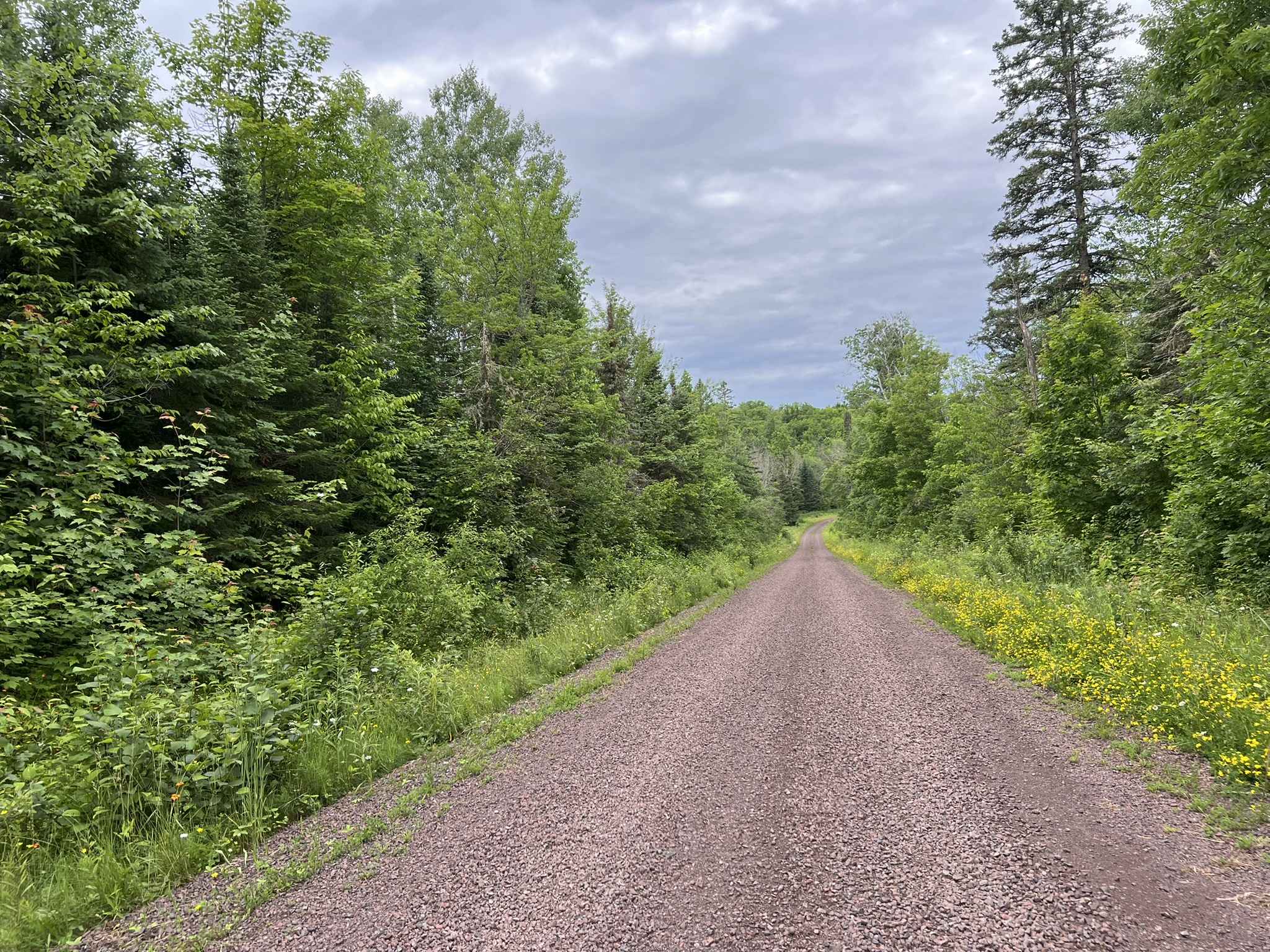
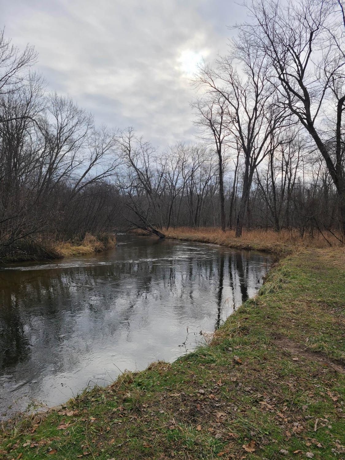
Pohlman Road is a non-DNR road owned by the county. The surface is composed of dirt and native material, and the overall condition is considered fair. Since it is not a DNR road, ORV use is subject to local government laws. The road remains open under current closure criteria. This seasonally maintained county road consists of dirt, sand, mud, rock, and native material. It features several water crossings, including creek runoffs, maintained culverts, and beaver dam backups. The route also provides access to Mill Creek and its surrounding watershed.
Photos of Pohlman Drive
Difficulty
Dirt, sand, and native material, typically unmaintained after rain or snow. You may encounter shallow water crossings and obstacles under 12 inches on the trail, including small ledges. Road is one to two vehicles wide.
History
Gwinn, Michigan, was founded in 1907 by the Cleveland-Cliffs Iron Company (CCI) as a "model town" to house miners and their families, designed by landscape architect Warren H. Manning. Named for the mother of CCI president William Gwinn Mather, Gwinn became a thriving mining community before the K.I. Sawyer Air Force Base was developed nearby in 1956, serving as a military and civil facility.
Status Reports
Pohlman Drive can be accessed by the following ride types:
- High-Clearance 4x4
- SUV
- SxS (60")
- ATV (50")
- Dirt Bike
Pohlman Drive Map
Popular Trails
Norway Truck Trail (NWT) Rd

Highbank Lake Trail (NFS 5396)
The onX Offroad Difference
onX Offroad combines trail photos, descriptions, difficulty ratings, width restrictions, seasonality, and more in a user-friendly interface. Available on all devices, with offline access and full compatibility with CarPlay and Android Auto. Discover what you’re missing today!