Driggs River Road
Total Miles
9.8
Technical Rating
Best Time
Spring, Summer, Fall, Winter
Trail Type
Full-Width Road
Accessible By
Trail Overview
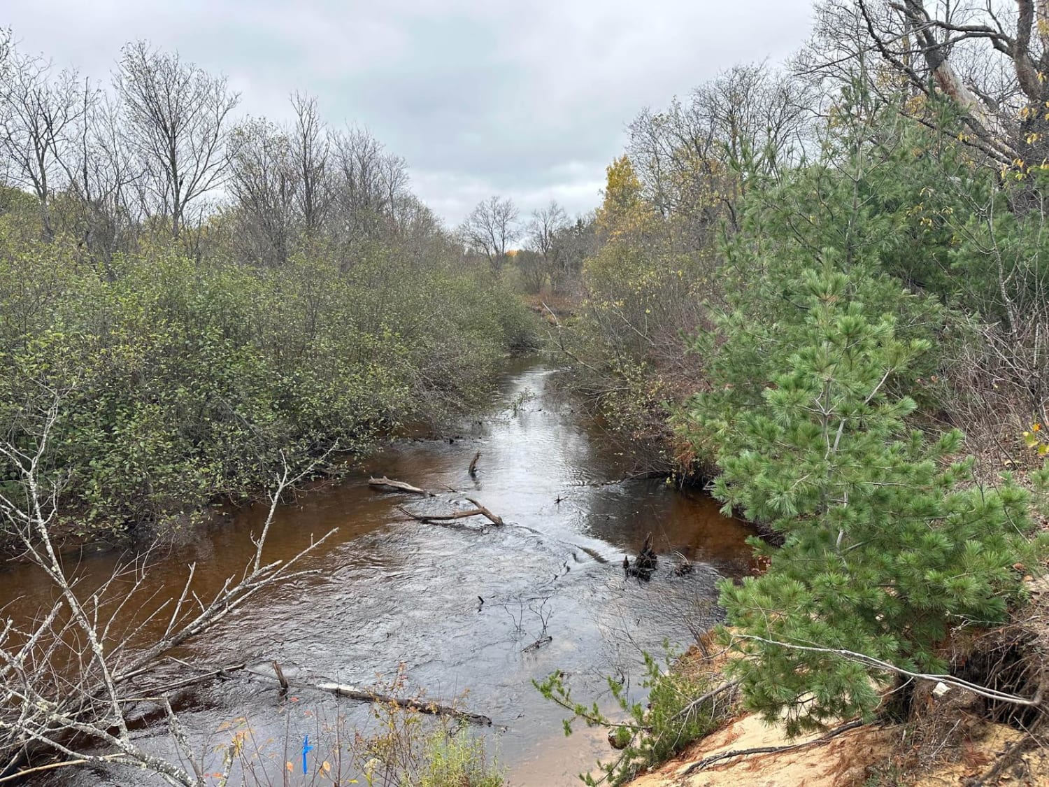
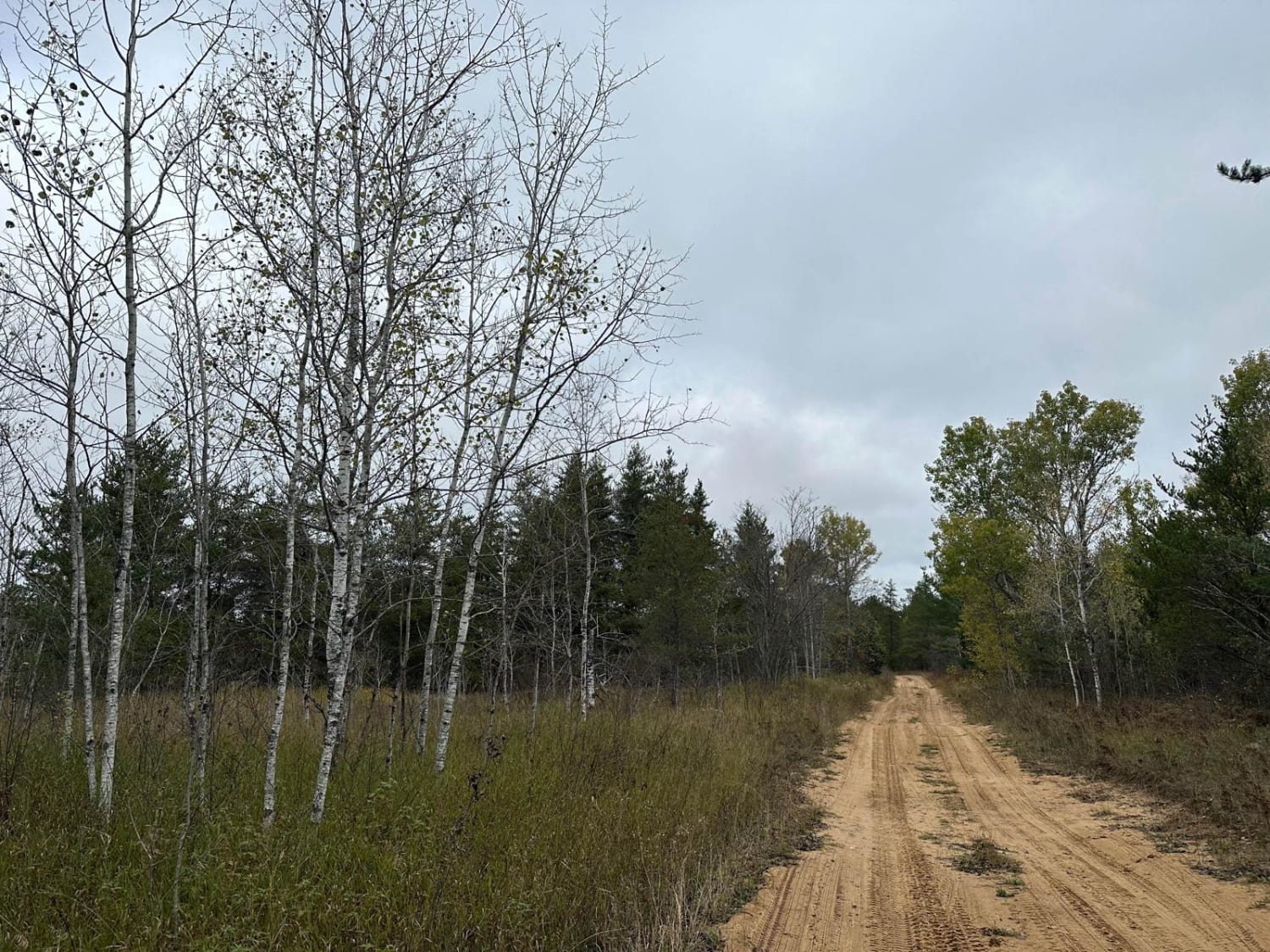
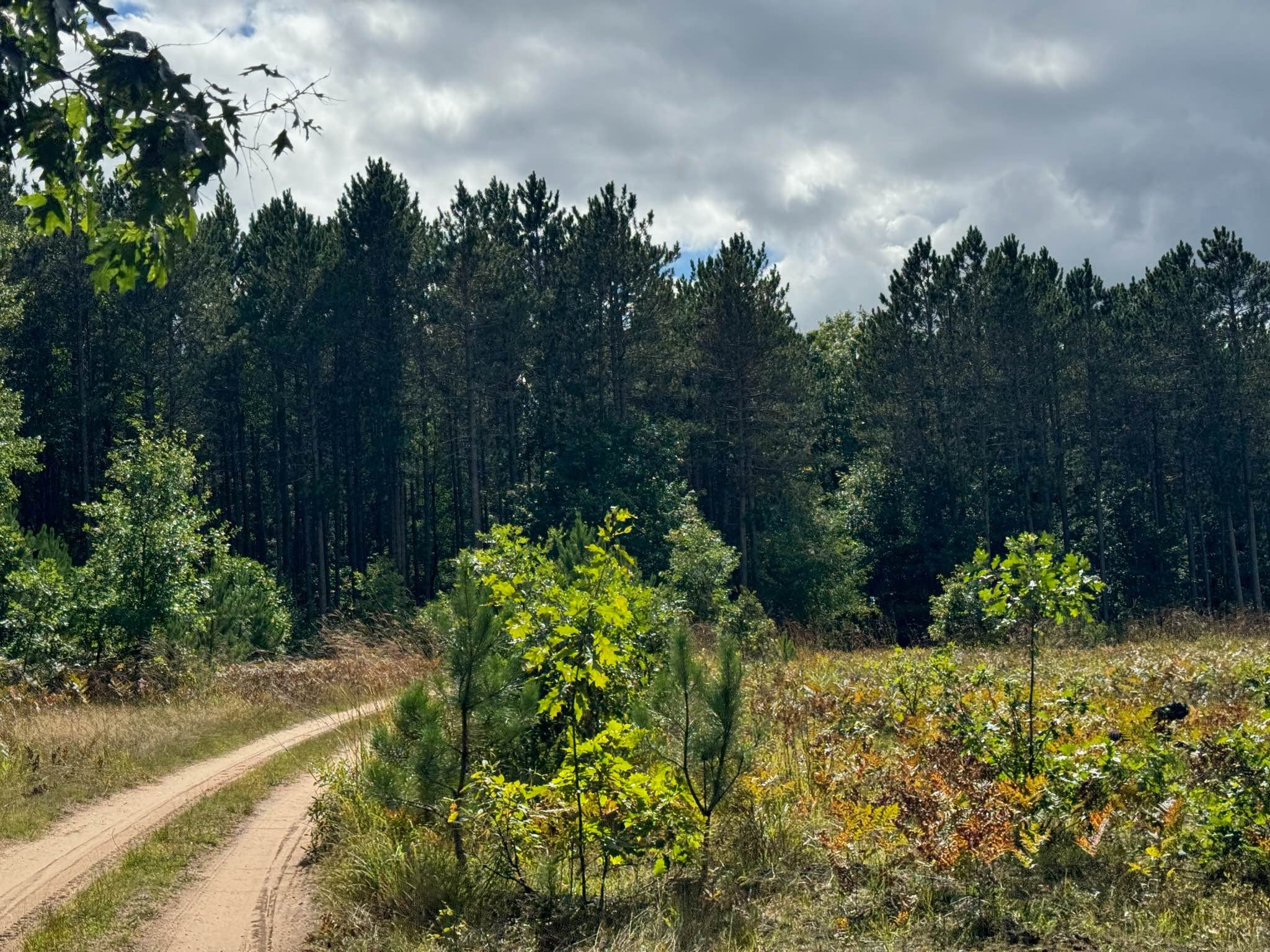
Driggs River Road is a single-lane two-track that travels north and south through Shingleton Forest Management Unit. Driggs River Road winds alongside Driggs River with a few dispersed camping spots that have access to the river. The trail surface is mostly sandy with some more natural dirt when you get in the wooded sections. There's nothing really notable as far as obstacles go, but there are some small puddles that could potentially get deep depending on recent rainfall. There's very limited cell signal along the trail and it gets worse the farther north you go.
Photos of Driggs River Road
Difficulty
This trail is mostly sandy with some deeper sand spots and small puddles.
Status Reports
Driggs River Road can be accessed by the following ride types:
- High-Clearance 4x4
- SUV
- SxS (60")
- ATV (50")
- Dirt Bike
Driggs River Road Map
Popular Trails

Forest Service Road 7120

The onX Offroad Difference
onX Offroad combines trail photos, descriptions, difficulty ratings, width restrictions, seasonality, and more in a user-friendly interface. Available on all devices, with offline access and full compatibility with CarPlay and Android Auto. Discover what you’re missing today!